


For Marvin, thank you for the nice pictures :-)
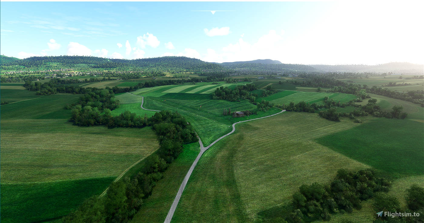
The very beautifully located airfield southeast of Stuttgart may actually only be approached by stationed aircraft. But herewith I open it also for the MSFS
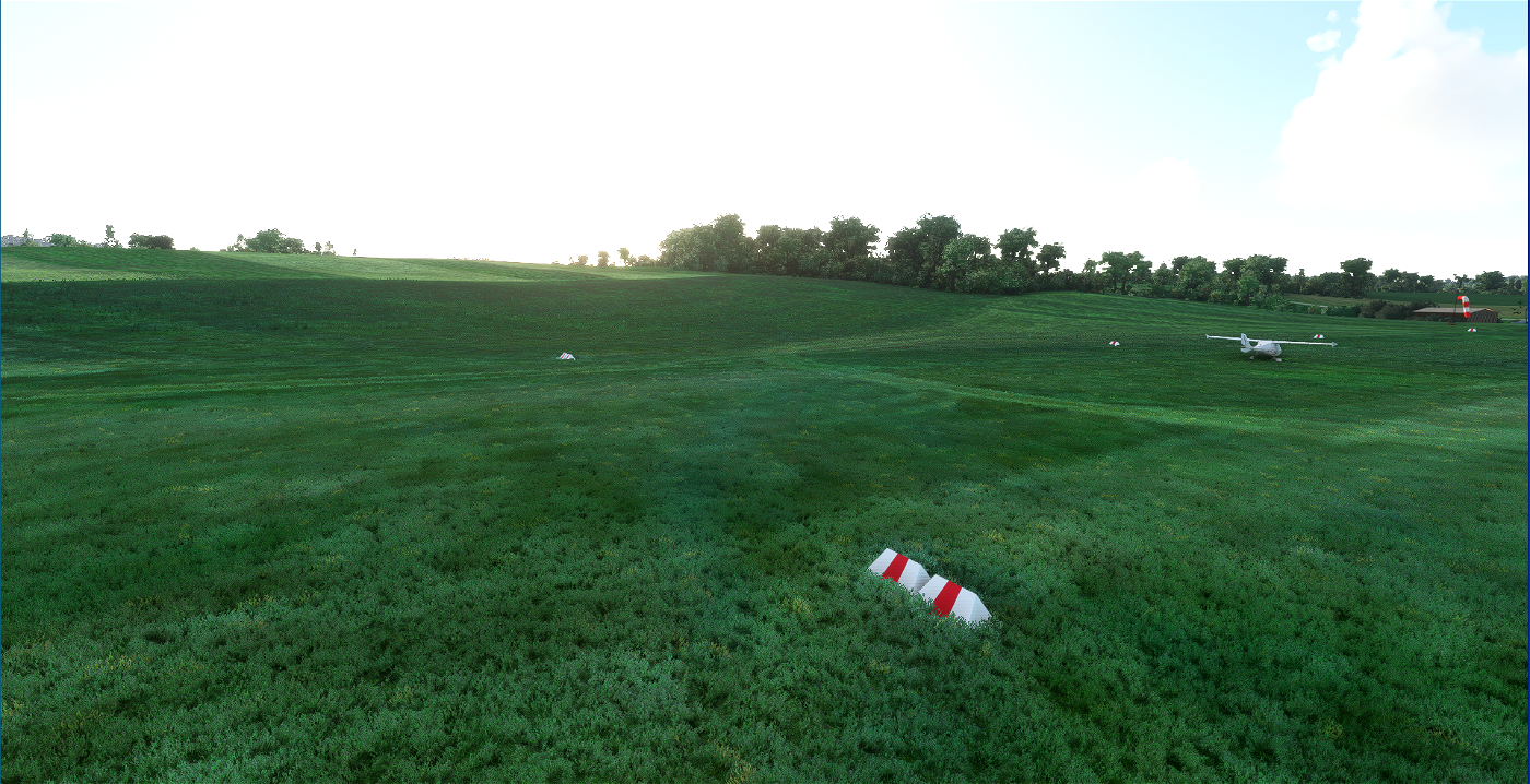
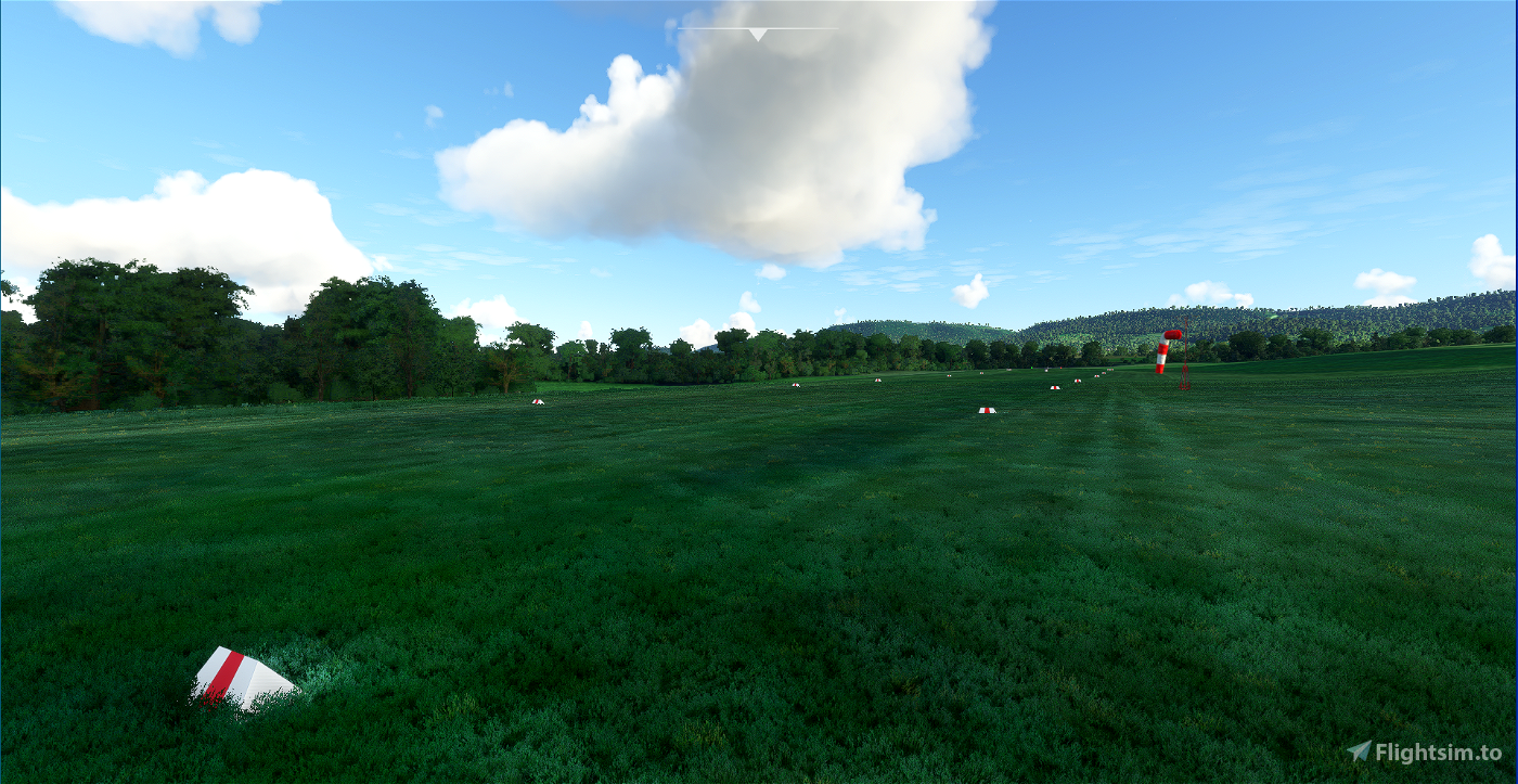
The airfield is almost the same as in reality, only the windsock is more favorable because in real life it is in the middle of the trees :-)
High resolution orthophoto, handcolored and edited (shadows removed etc..)
Streets traced with asphalt texture
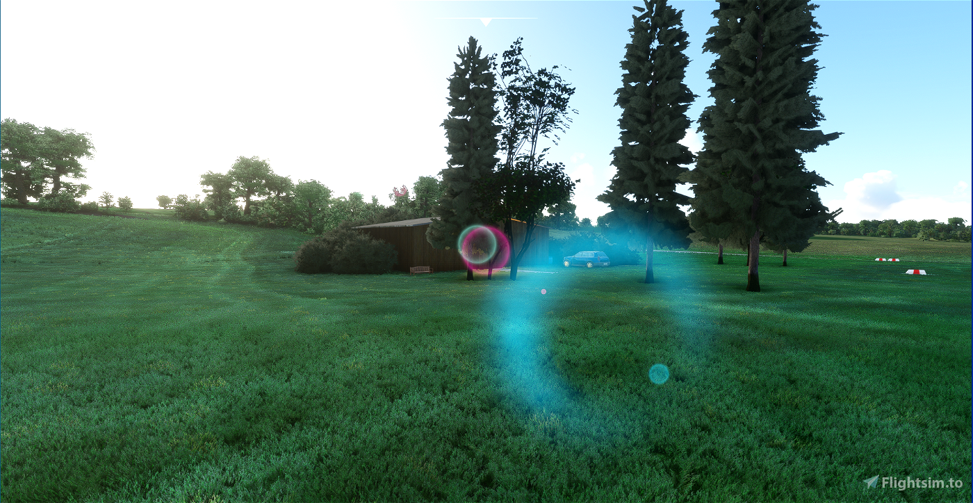
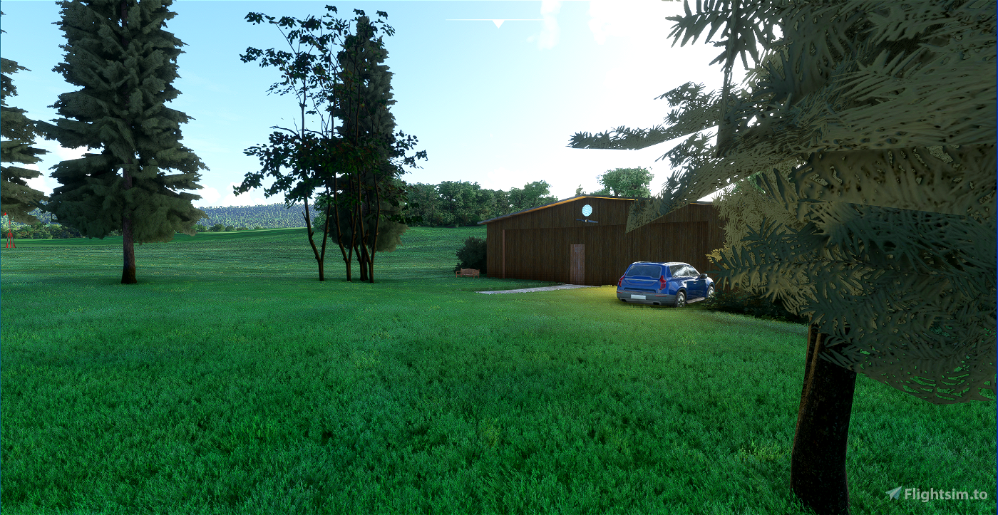
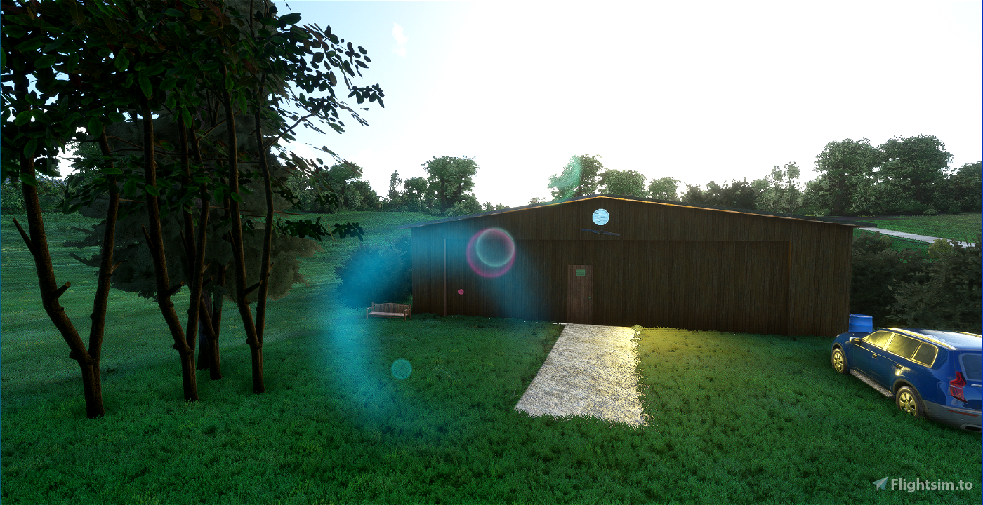
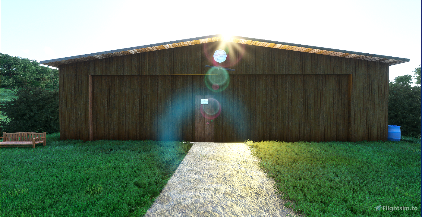
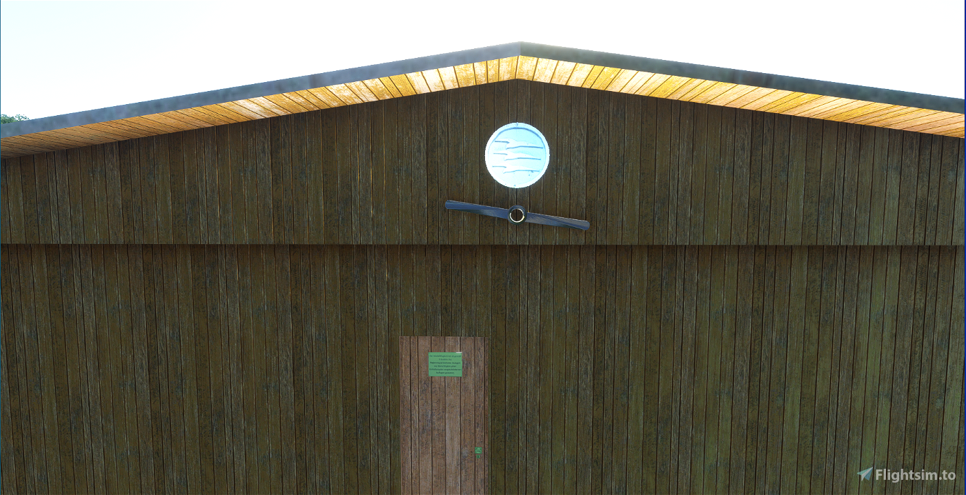
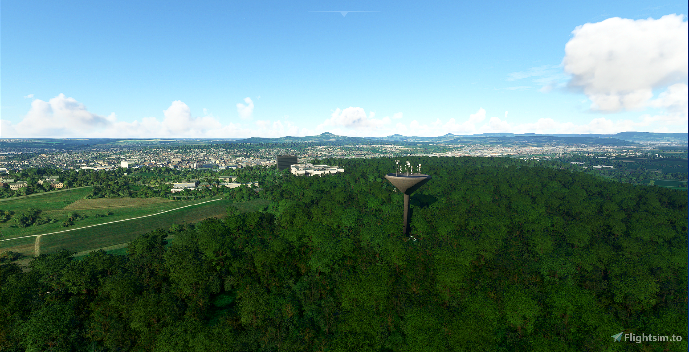
Added self-made hangar, water tower Eichert, landing rider etc. - who finds the "easter egg" :-)
Trees planted at the right places
Trimmed too high houses in the villages
Correct radio frequency set
and much more.
Name Göppingen-Bezgenriet
ICAO EDSE
North 48.39.31 N N
East 09.37.27 E
Location 4 km S Göppingen
99°/15 NM STG VOR 116.850
heigth 1207 ft / 368 m
Com 123.475
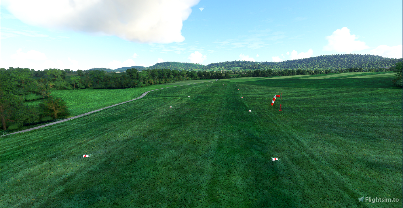
Runway
length 360 m Grass
direction 14 / 32
traffic pattern E 2000 ft MSL
Der sehr schön gelegene Flugplatz südöstlich von Stuttgart darf eigentlich nur von stationierten Flugzeugen angeflogen werden. Aber hiemit eröffne ich ihn auch für den MSFS. Der Flugplatz entspricht nahezu der Realität, nur der Windsack steht günstiger weil er in echt mitten in den Bäumen steht :-)
Hochaufösendes Orthophoto, handcoleriert und bearbeitet (Schatten entfernt usw..)
Straßen nachgezogen mit Asphalttextur
Selbst erstellter Hangar, Wasserturm Eichert, Landereiter usw. hinzugefügt. - wer findet das "Osterei" :-)
Bäume gepflanzt an den richtigen Stellen
Zu hohe Häuser in den Dörfern gestutzt
Richtige Funkfrequenz eingestellt
und vieles mehr..

 DeltaTango


tramp
Der Platz sieht genau so aus wie ich ihn von Radtouren in in der Gegend in Erinnerung habe. Tolle Arbeit!
AxCYeR
alexanderrl
DeltaTango author
3 years ago
MRJoos66
😀