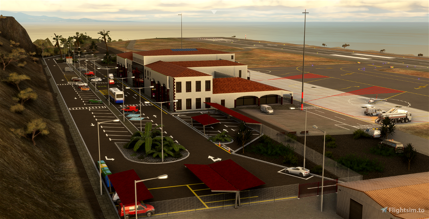
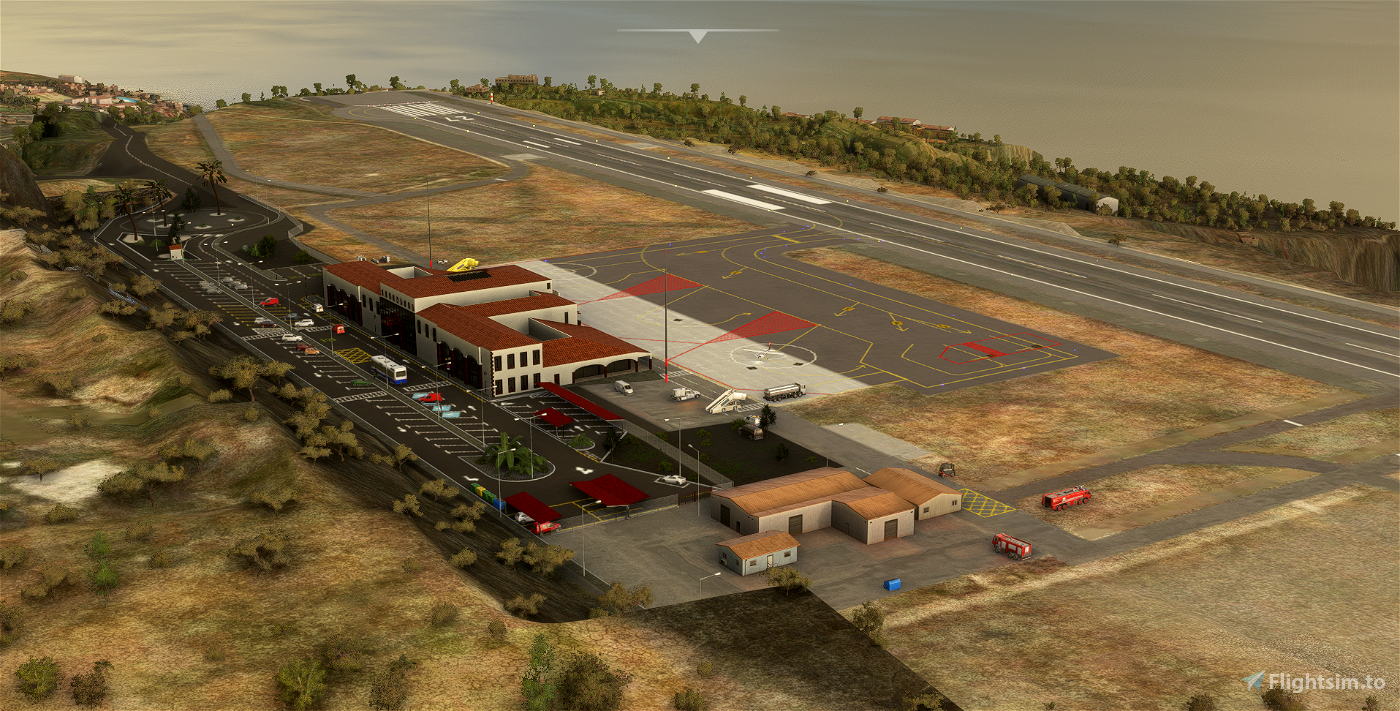
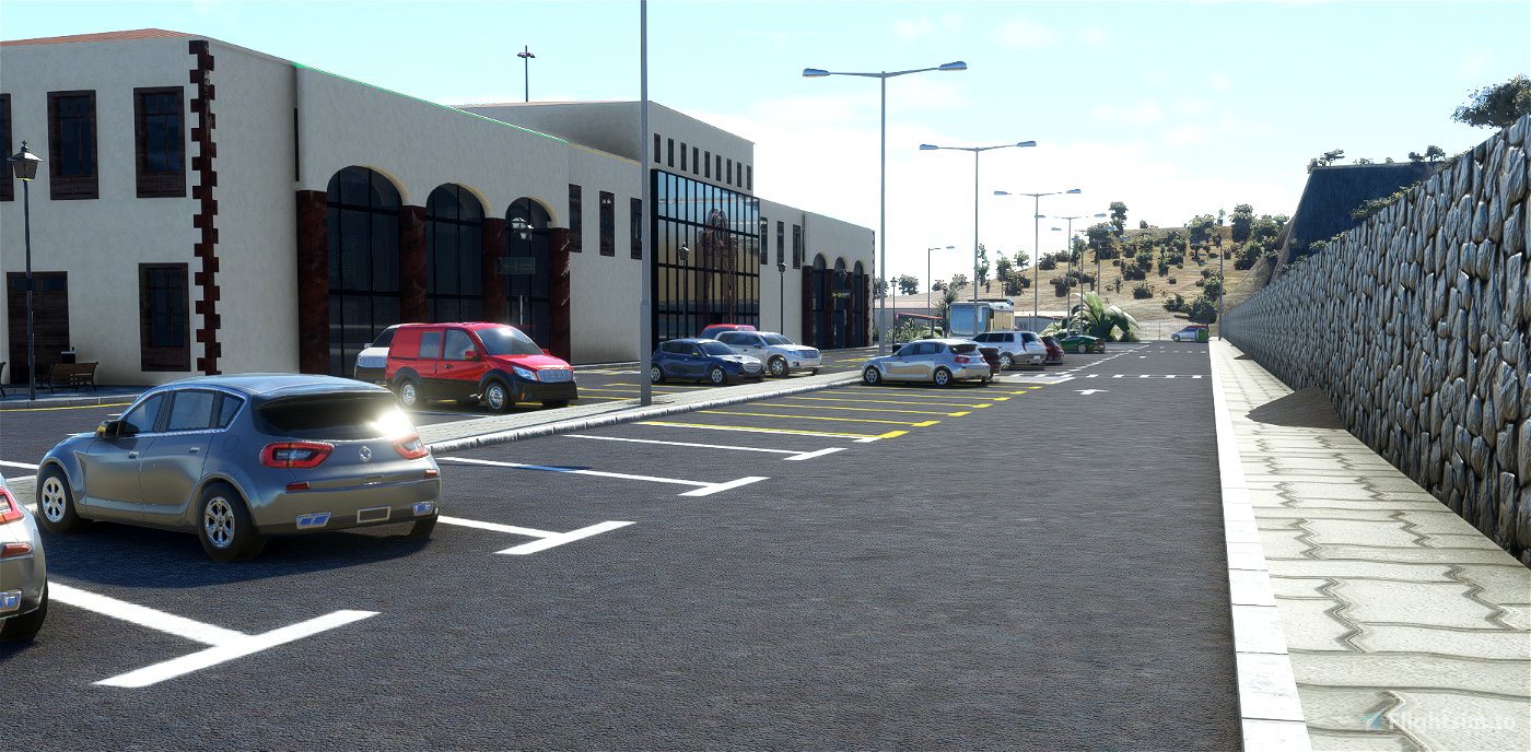
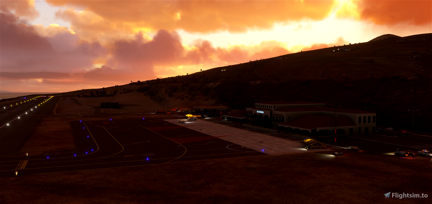
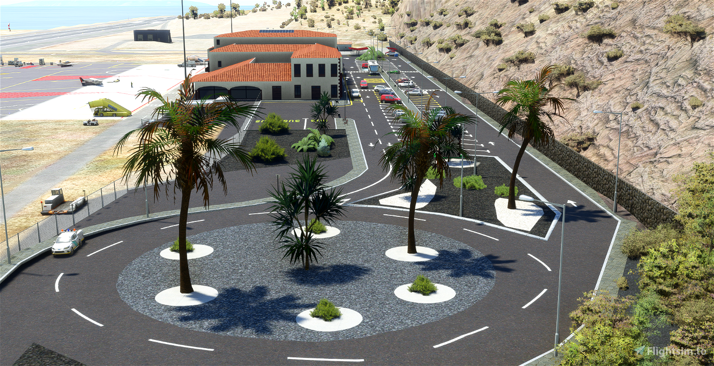

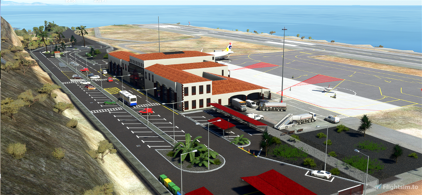
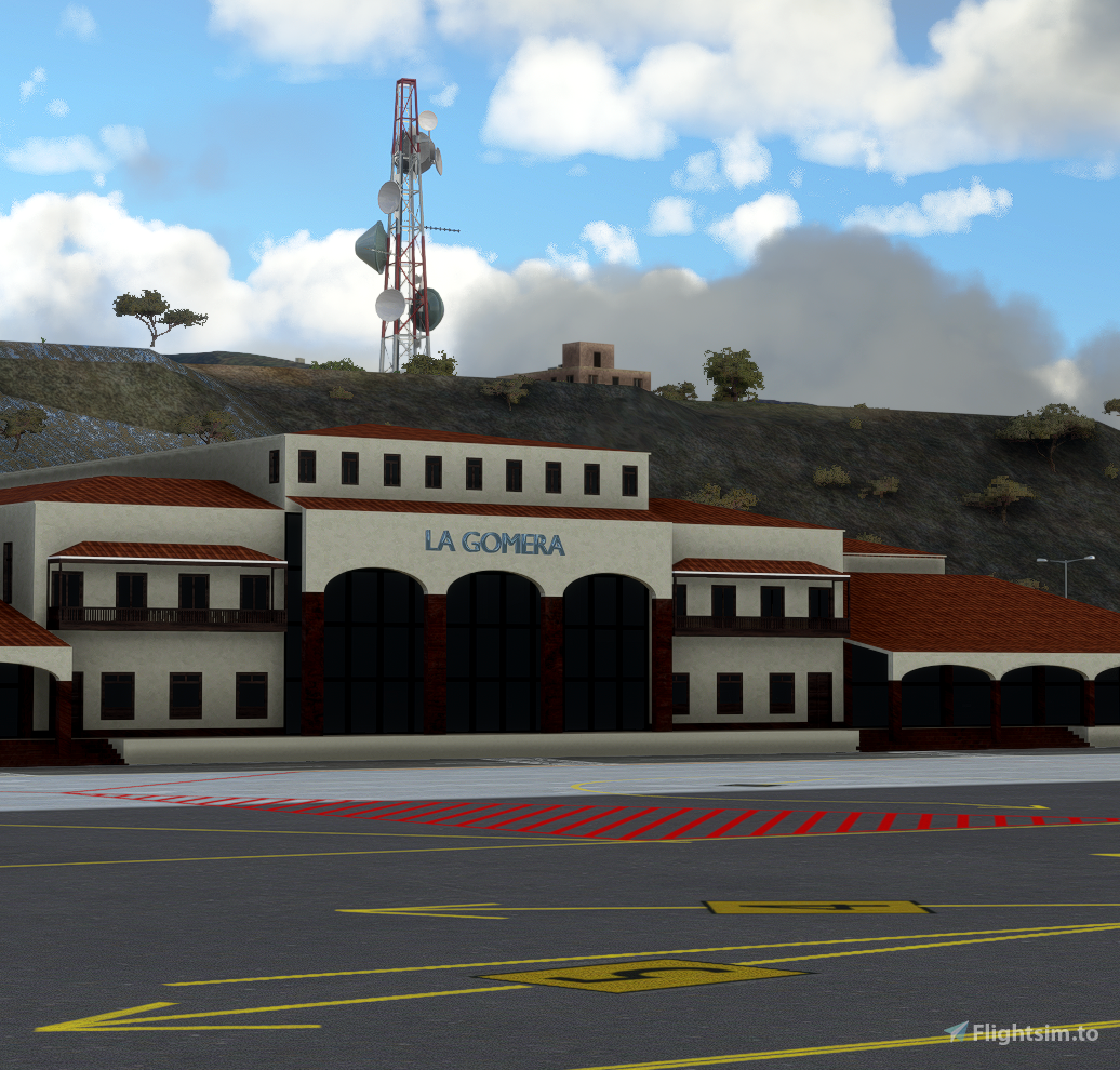
The airport has been done as accurate as possible based on pictures and videos found on the internet, bing maps, google earth and sigpac for the accurate mark and position of all the taxiways, lights, parking spots, car parking spots, traffic signals, etc. However, I could not complete the tower of control nor the fire station. If anyone could provide pictures of those two buildings I will finalize the airport.
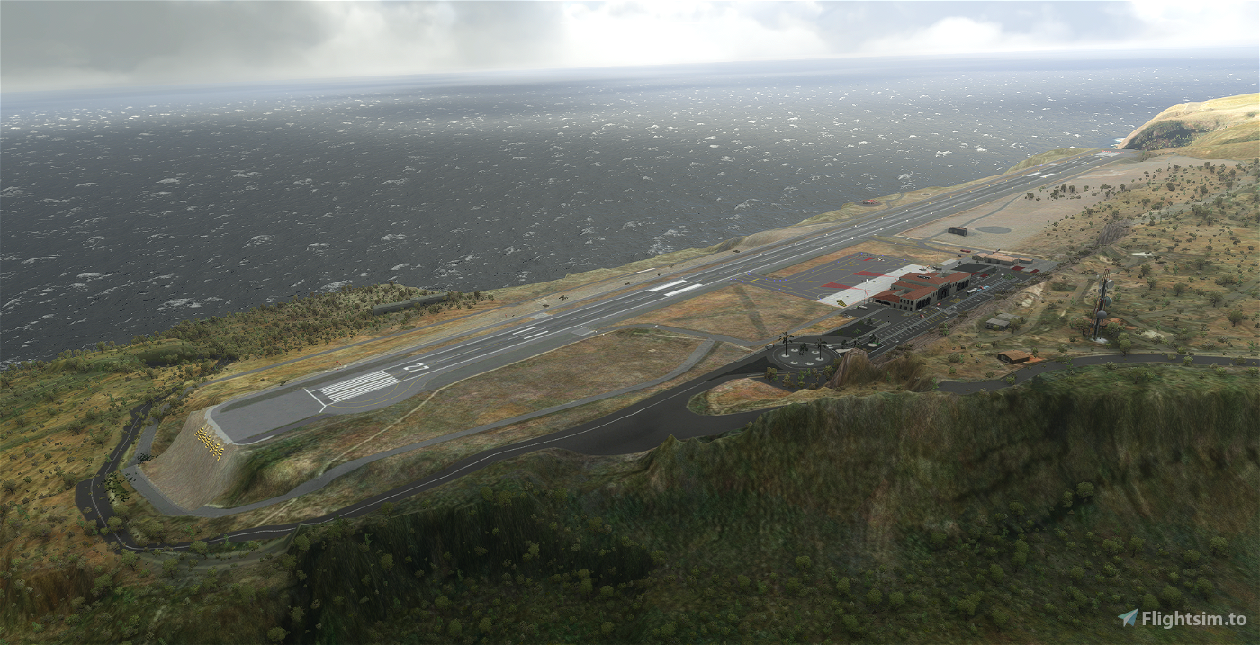
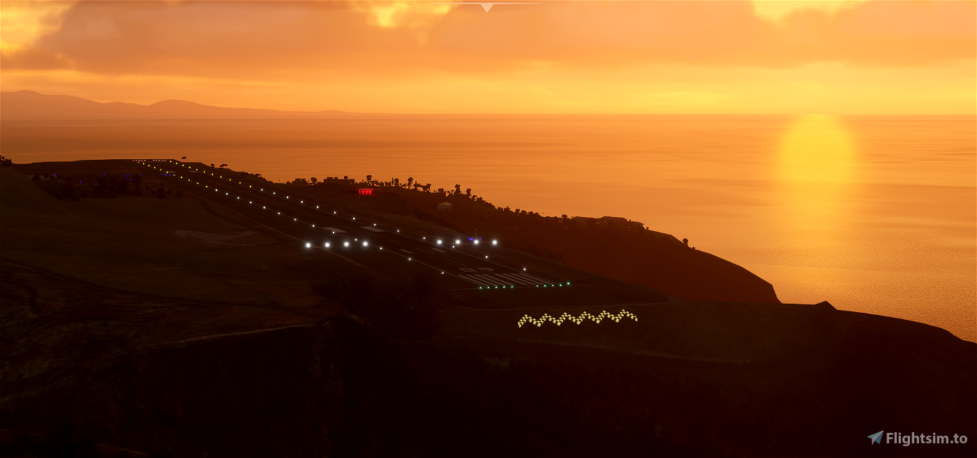
Althhough MSFS provided the airport the terrain surrounding it is a complete disaster. Just take a look by yourselves, and check the ocean climbing 200 meters of height almost getting to the runway. Then compare with the job that has been done. As you could imagine the toughest part has been aconditionating the terrain, as currently MSFS SDK does not provide good enough tools and I have not been able to find how to inject elevation data in the simulator. If anyone knows how to do it, please contact me. Once this said, I know that the mesh needs to be improved, but I did my best with my knowledge and the information found so far.
History
La Gomera Airport (Spanish: Aeropuerto de La Gomera) (IATA: GMZ, ICAO: GCGM) is an airport located near the town of Playa Santiago on the island of La Gomera in the Canary Islands, 34 km (21 mi) southwest[1] by road from the island's capital city, San Sebastián de la Gomera.
Although the runway was completed in 1994, the terminal did not open until 1999. As of August 2019, there are two return flights per day to Tenerife North and two return flights per day to Gran Canaria.[4]
The airport was located here to avoid disturbing the Garajonay National Park and avoid the cloudier and foggier climate to the North of the island (very similar to all the Canary Islands due to the alisios winds and the topography and nature of the volcanic islands) , whilst the volcanic terrain gives few suitable sites anywhere on La Gomera, although even this site required extensive embankments at both ends of the runway.
Aviation in the island of La Gomera started in the 1950s, when a private airfield was constructed. Its name was "El Revolcadero" and it was situated in Tecina. This airfield had a runway (09-27), an hangar and a small stand which was used as control tower. The airfield was for the owner's private use and for emergencies and fumigation works. If you´d fancy finding it...it´s there.... if you are brave enough... try landing on it.
In 1962, the island had a lot of sanitary assistance problems, so studies to build an airport in the island were started, but this project was not carried out until 1975. However, due to the opening of the Tenerife South Airport and a new maritime line with the island, the project was again delayed.
Finally, in the 1980s, problems with wounded snake-bite evacuations necessitated building an airport in the island, and on 27 July 1987, an agreement for the construction of the airport was signed.[6]
At the end of 1994 the airfield had a runway (09-27), an aircraft parking and a taxi way to the runway. The elected place to build the installations was the "Meseta de los Acantilados" (Plateau Cliffs), which is located 2 kilometers from the old airfield of "El Revolcadero".
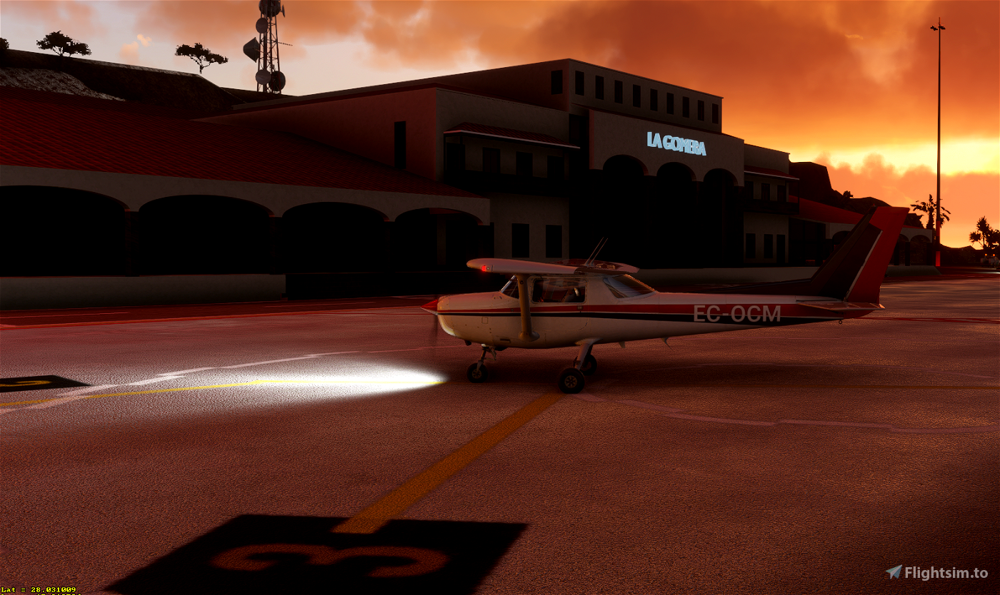
At the end of 1991, when Aeropuertos Españoles y Navegación Aérea (AENA), literally "Spanish Airports and Air Navigation", took over the airport, a passenger terminal was built, which was inaugurated in 1992. This passenger terminal has two floors and we can see in it the typical canarian architecture.
Disclaimer
It is completely forbidden to use or redistribute any of the material provided in the airport without my written authorization.
It makes one happy to check that the job been done is being downloaded, but it makes me happier indeed if at least you leave a comment if you enjoyed it or report any bug or feature found. There have been many hours of effort put on creating this as the other airports so any kind of tip is highly appreciated.
Version 1.1
- Removed fuel station as La Gomera airport does not provide fuel
- Added tower of control in the old aerodrome "El Revolcadero". Don´t forget to land in there, it is just departing on rwy 27 at less than 1 minute flight also in the cliff
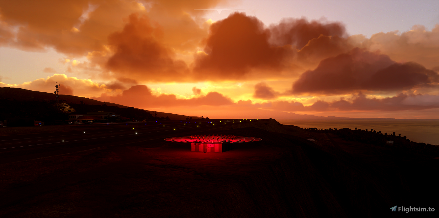
- Added surrounding walls to the sea around the VOR
- Minor fixes
 velador73


Lumpi00
Snoopy7412
Snoopy7412
vuelaDesigns
Muy wapo todo. Muxo curro, muy cuidado. El texto muy interesante. Te haré caso y probare el revocadero!! Saludos
dresoccer4
Amazing scenery! However all of the wind socks are doubled up now. I can provide pictures if it'll help you resolve this small issue. Cheers!
dresoccer4
hello, does the dev still track this? the double windsocks are still there. thanks
1 years ago
wfm18
@velador73 could you please make this airport compatible with the aerial and mesh of Island Creations? https://secure.simmarket.com/island-creations-la-gomera-aerial-imagery-msfs.phtml
Made some screenshots to outline the issues, ranging from overrides in texturing to weird landscape meshes: https://www.mediafire.com/file/e515l7tpf2wnkds/Microsoft+Flight+Simulator+Screenshot+2022.05.14+-+12.18.05.17.zip/file
Ginete
¡Gracias! 😊
Delta2k5
Hey, just found this beautiful scenery - I love it as I was on vacation on La Gomera last year 😊
I was about to give you a full 5* rating on that but I noticed some minor issues:
Probably you'll find some time to fix these for the full 5* rating? That would be incredible! 😊
dresoccer4
Beautiful! Does anyone know if this is compatible with the Canary 5m DEM addon?
velador73 author
Yes it is
3 years ago
FishBowlMan
Wonderful scenery. Thanks so much for sharing this with us. Works perfectly for me with SU5
laszlobarki
This wonderful scenery is payware-quality. Just it is a pity that the ATC-TWR is missing!
ppChas
Te ha quedado genial, parte de los problemas de elevación los he solucionado con éste añadido:
https://es.flightsim.to/file/14842/spain-canary-20m-dem-high-resolution-terrain-elevation-data-from-lidar-imaging
soenico
iCBR
Archer374