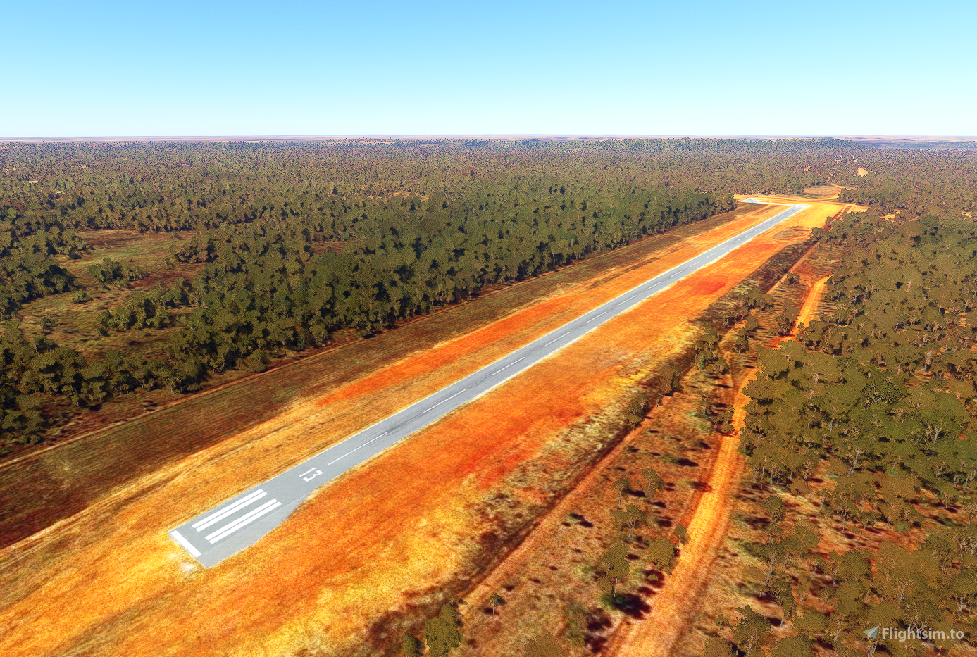
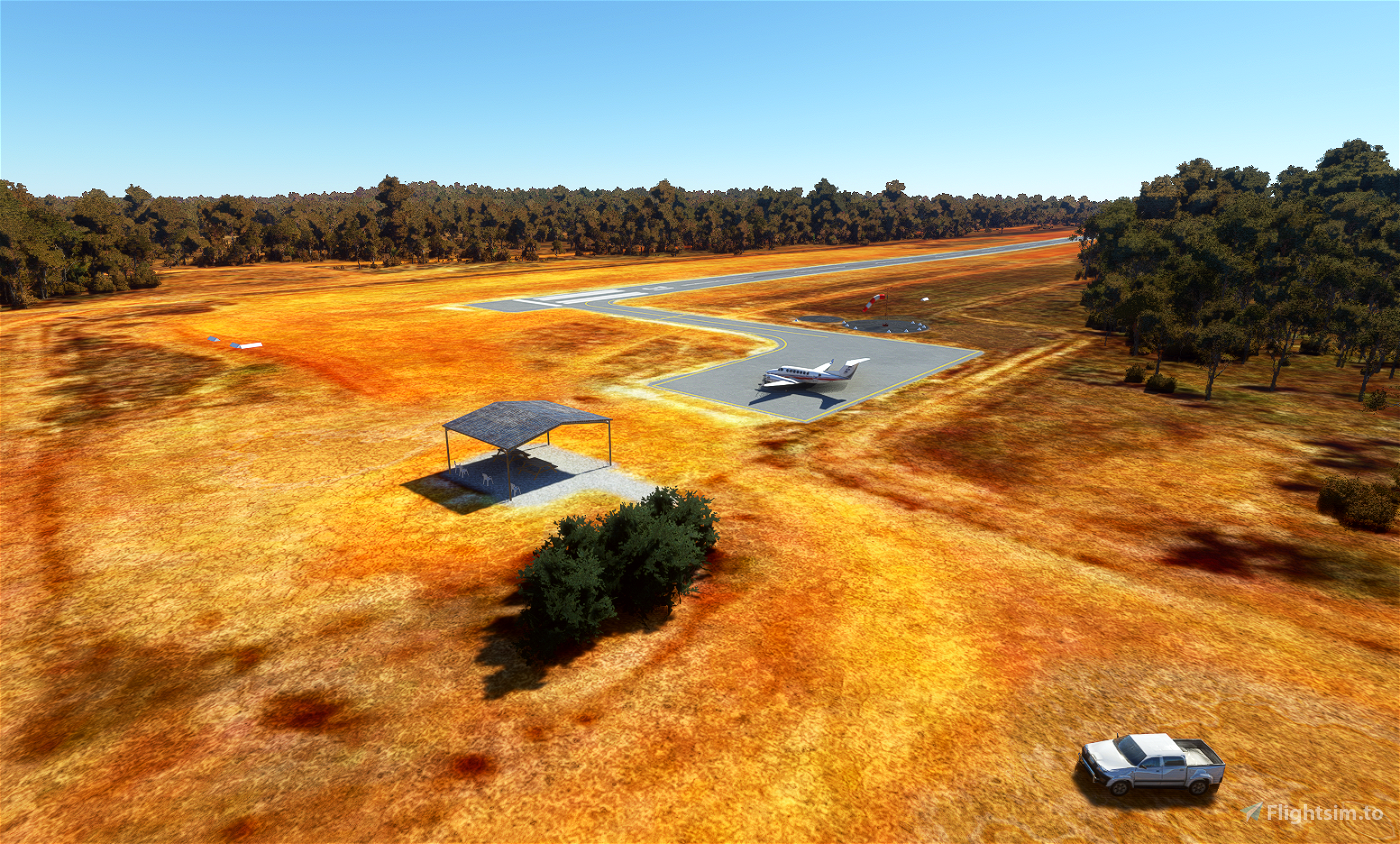

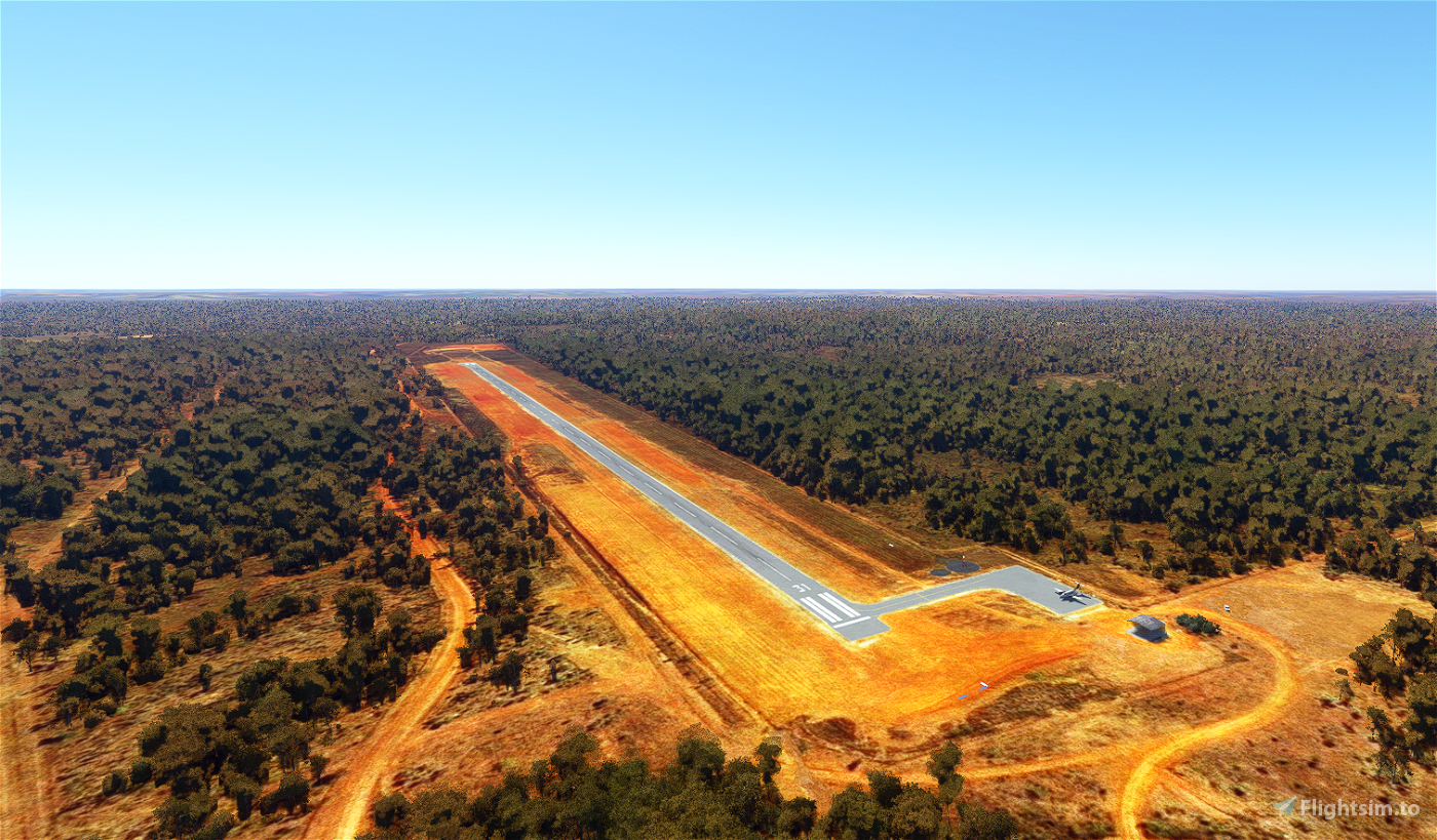
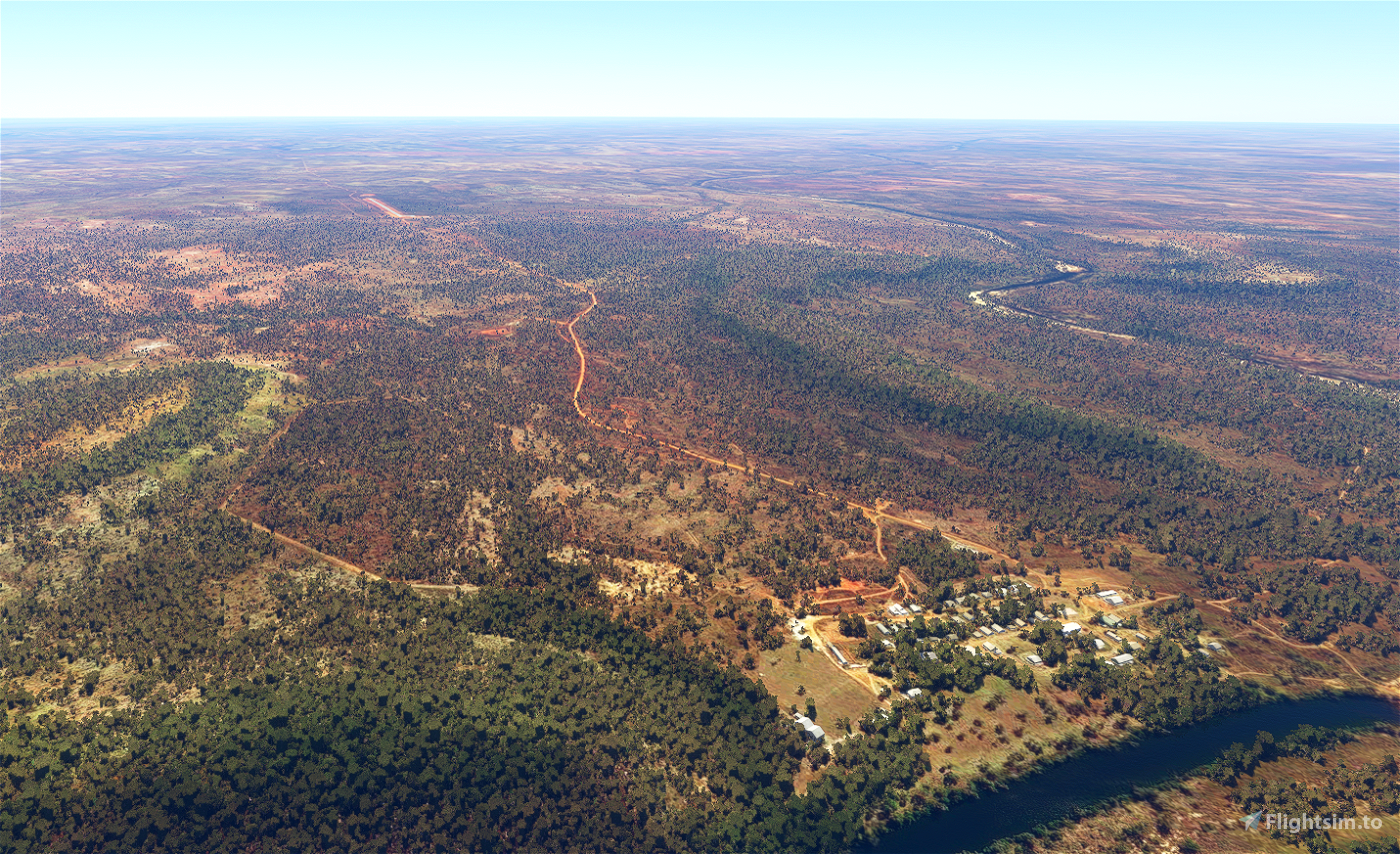
Robinson River Airport is a small private airfield serving the outback town of Robinson River, in the Barkly Tableland of the Northern Territory. It sits 5km NW of the town, 430km NE of Tennant Creek, and 240km NW of Doomadgee. The airport has no regularly scheduled flights, and serves charter and medical flights. There is usually no fuel available and there is no lighting, so plan your visit accordingly.
The main focus here was to improve the look of the runway and apron, as well as remove a lot of unsightly artifacts in the satellite imagery. I don't know what's going on with the gables and cones either, that's just how they are. This scenery uses all stock assets, you don't need to download anything else for it to work.
Version 1.0:
- Corrected the material and appearance of the runway, including more accurate turnaround areas, gables, custom runway markings, and edge lighting
- Corrected the parking stand locations
- Removed many light or dark spots from the satellite imagery
- Removed trees from inside the airfield
- Removed service vehicles
- Removed the blurry autogen roads from near the airport
- Misc. scenery additions and fixes
Known Issues:
- No perimeter fence (won't happen until Asobo develops a fence tool)
If I've overlooked anything or you have any suggestions, please leave a comment.
Thanks, and enjoy!

 kliff0rd


daytona500
Love your Robinson River airport
I used to work at Merlin Mine nearby
Would it be possible to make a Merlin Airport for me?
It was a dirt strip with bitumen turning ends at each end and a bitumen aircraft parking area with a shed!
kliff0rd author
1 months ago
conan222
Thanking you Sir