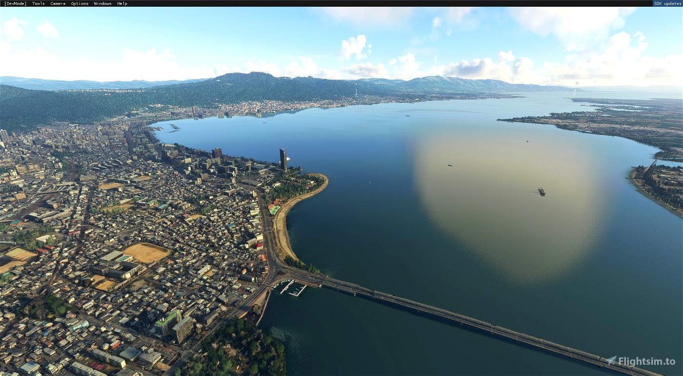

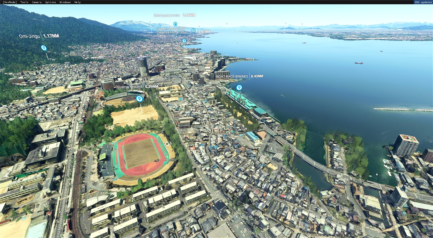


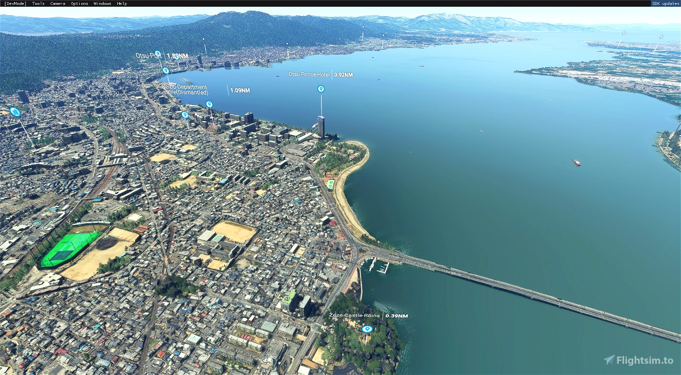

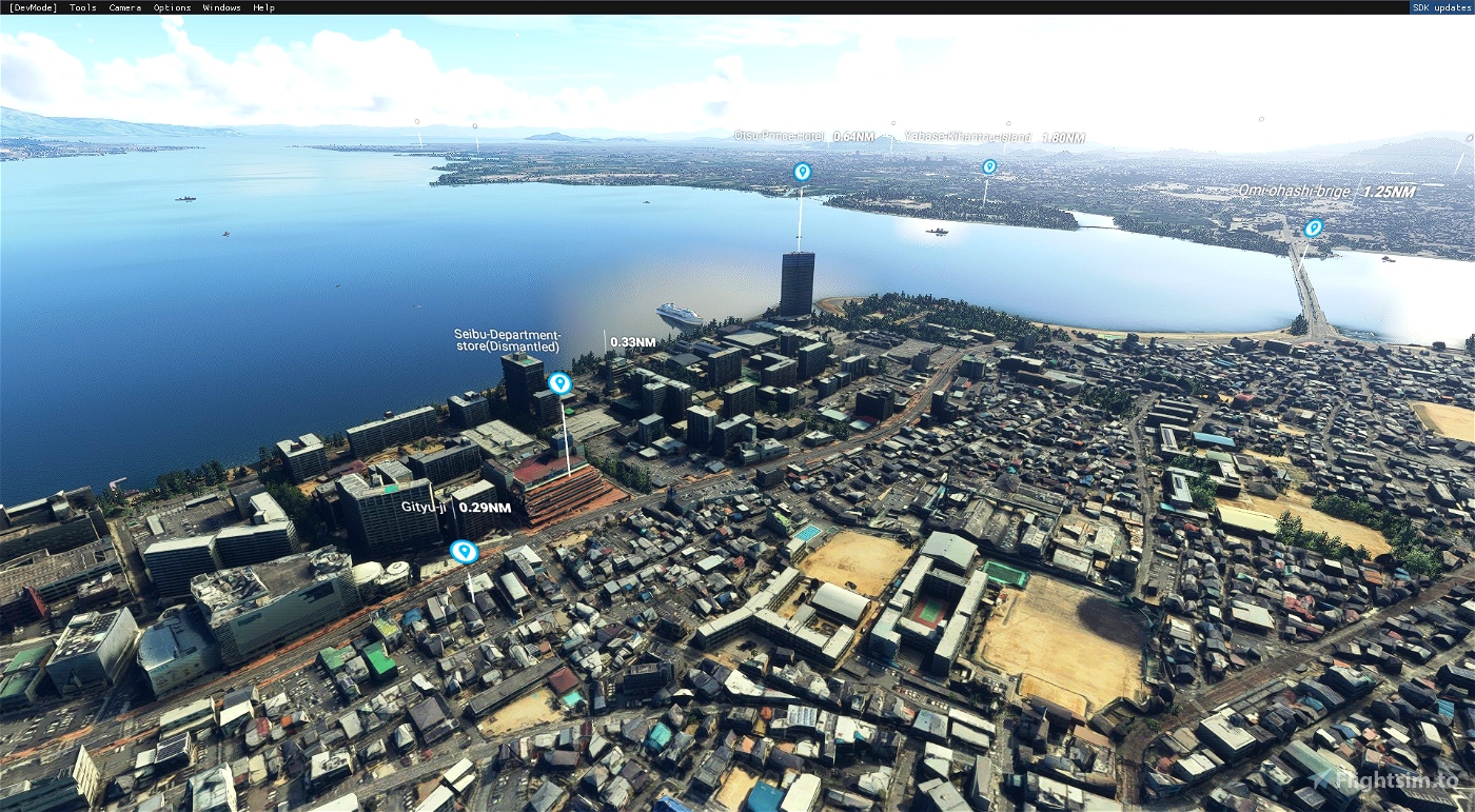
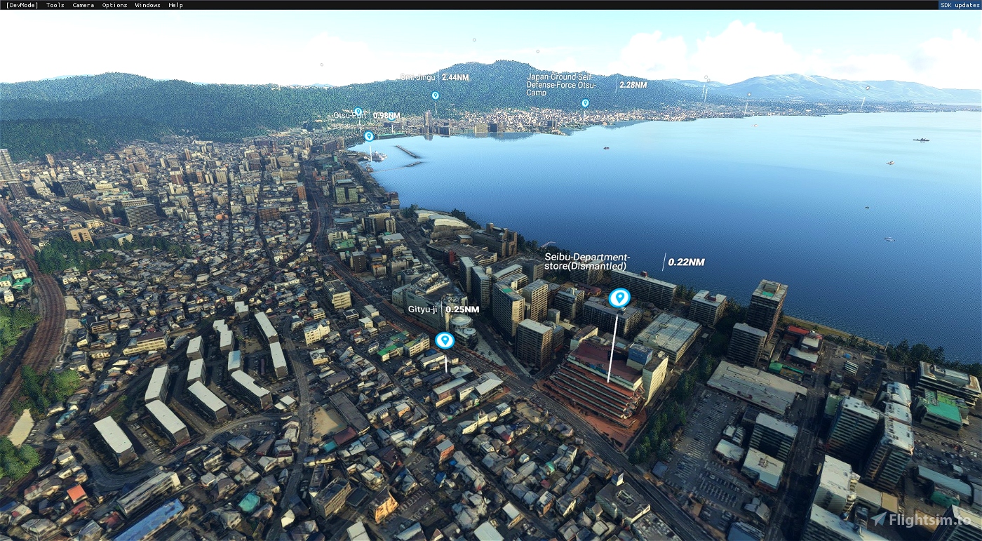
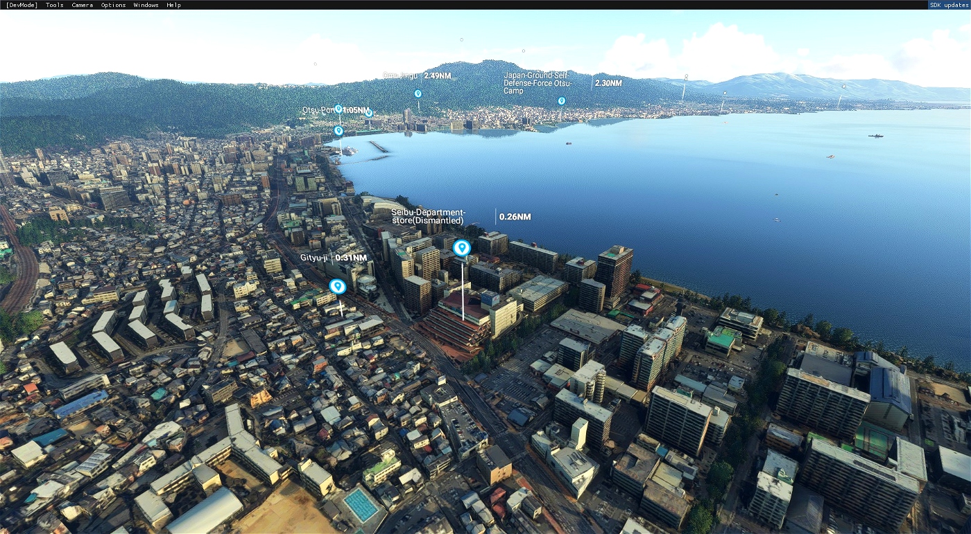
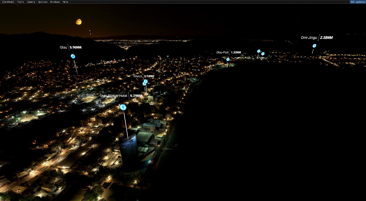
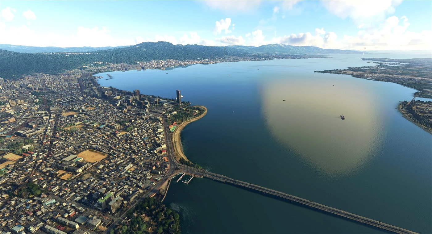

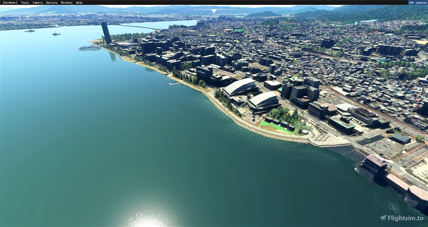
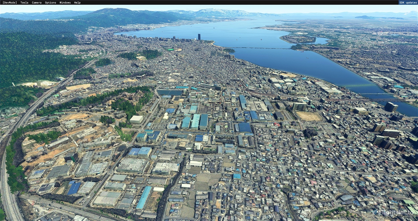
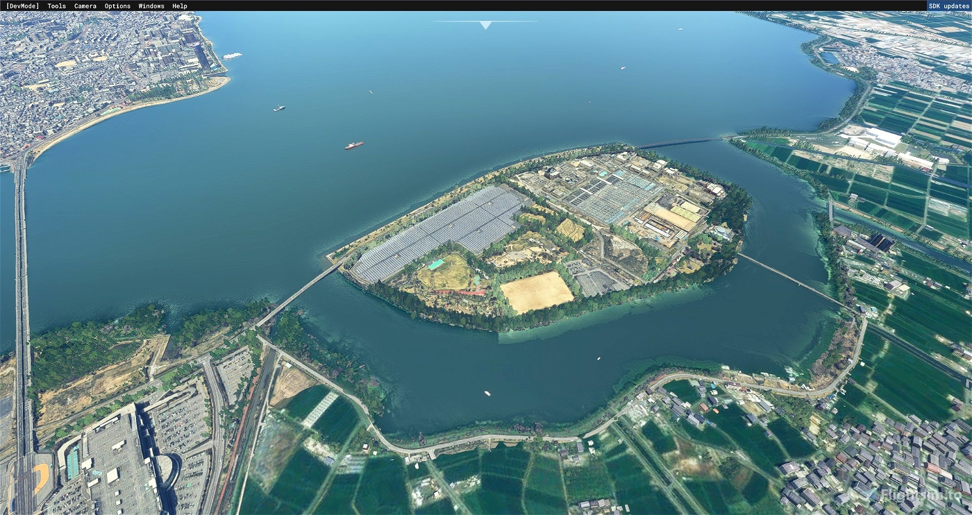

It is a Google map scenery around Shiga and Lake Biwa South Lake. We are reproducing the area around Omi Ohashi Bridge.
From Nishi-Otsu-Hamaotsu-Nionohama-Omi Ohashi-Ishiyama-Kusatsu Aeon-Kaihojima.
Due to good route access to Otsu, Kyoto and Osaka, which are the prefectural capitals of Shiga Prefecture,
In recent years, it is an area where condominium development and shopping malls have expanded significantly.
The Seibu Otsu store, which has been closed and dismantled since the aftermath, is still alive in the scenery.
install
Please delete the folder of the previous version, unzip it and copy it to the Comunitty folder.
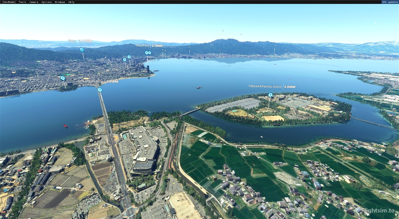
ver3.1.0
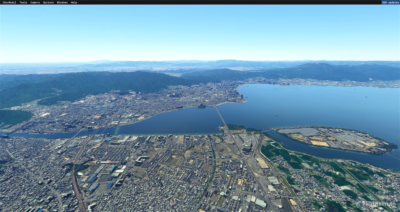
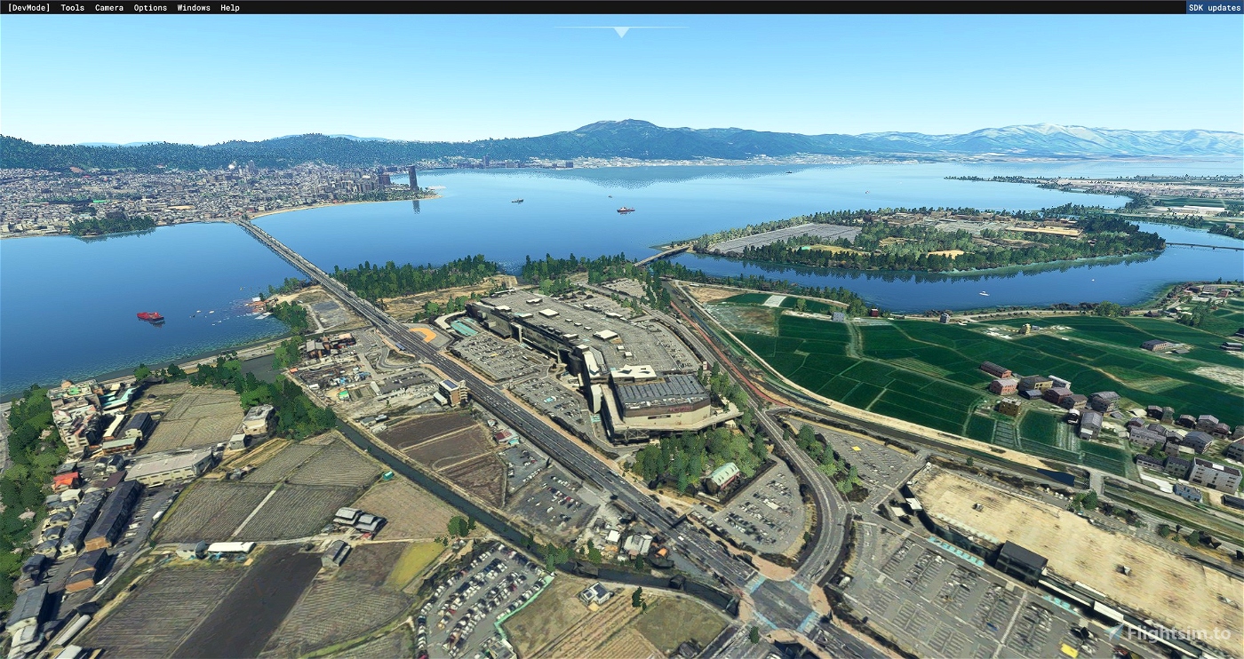
The scope of application of the scenery has been expanded (west side of Lake Biwa).
The following scenery is also recommended for simultaneous use. (Included in screenshot.)
Seta's fictitious airport "RJWW Biwako Airport" in the Koto area of "East BIWAKO" north of Seta.
Please take a look at my other scenery.
https://jp.flightsim.to/profile/macmillan61/uploads
Check out twitter!(I'm tweeting about scenery updates and MSFS.)
https://twitter.com/MacmillanFlight
滋賀、琵琶湖南湖周辺のグーグルマップsceneryです。近江大橋周辺地域の再現を行っています。
西大津~浜大津~におの浜~近江大橋~石山~草津イオン~帰帆島までです。
滋賀県の県庁所在地である大津は京都・大阪への路線アクセス良好である為、
近年マンション開発、ショッピングモール等の進出著しい地域です。
その余波から今は閉店、解体済みの「西武大津店」がシーナリーではまだ生きています。
ver3.1.0
シーナリー適用範囲を拡大しました(琵琶湖の西側)
以下のシーナリーも同時使用おすすめです。(スクリーンショットに含まれています。)
瀬田以北「EastBIWAKO」の湖東地域、瀬田の架空の空港「RJWW BiwakoAirport」
インストール
前バージョンのフォルダを削除してから、解凍後Comunittyフォルダにコピーして下さい

 macmillan61


SeiferLizardKing
Could you maybe also add 浮御堂 please?
macmillan61 author
Thank you for visiting my page.
I confirmed Ukimido on Google Earth.
However, it is not 3D.
Therefore, even if you import Ukimido, the photo will be flat.
Only Ogoto is in 3D at the northern end of the western part of Lake Biwa.
3 years ago
Tanaka123
Try Rokko island and too Sumiyoshi station to Yuzuruha shrine HD quality senery
macmillan61 author
https://jp.flightsim.to/file/13109/kobe-city
How about asking the author of?
3 years ago