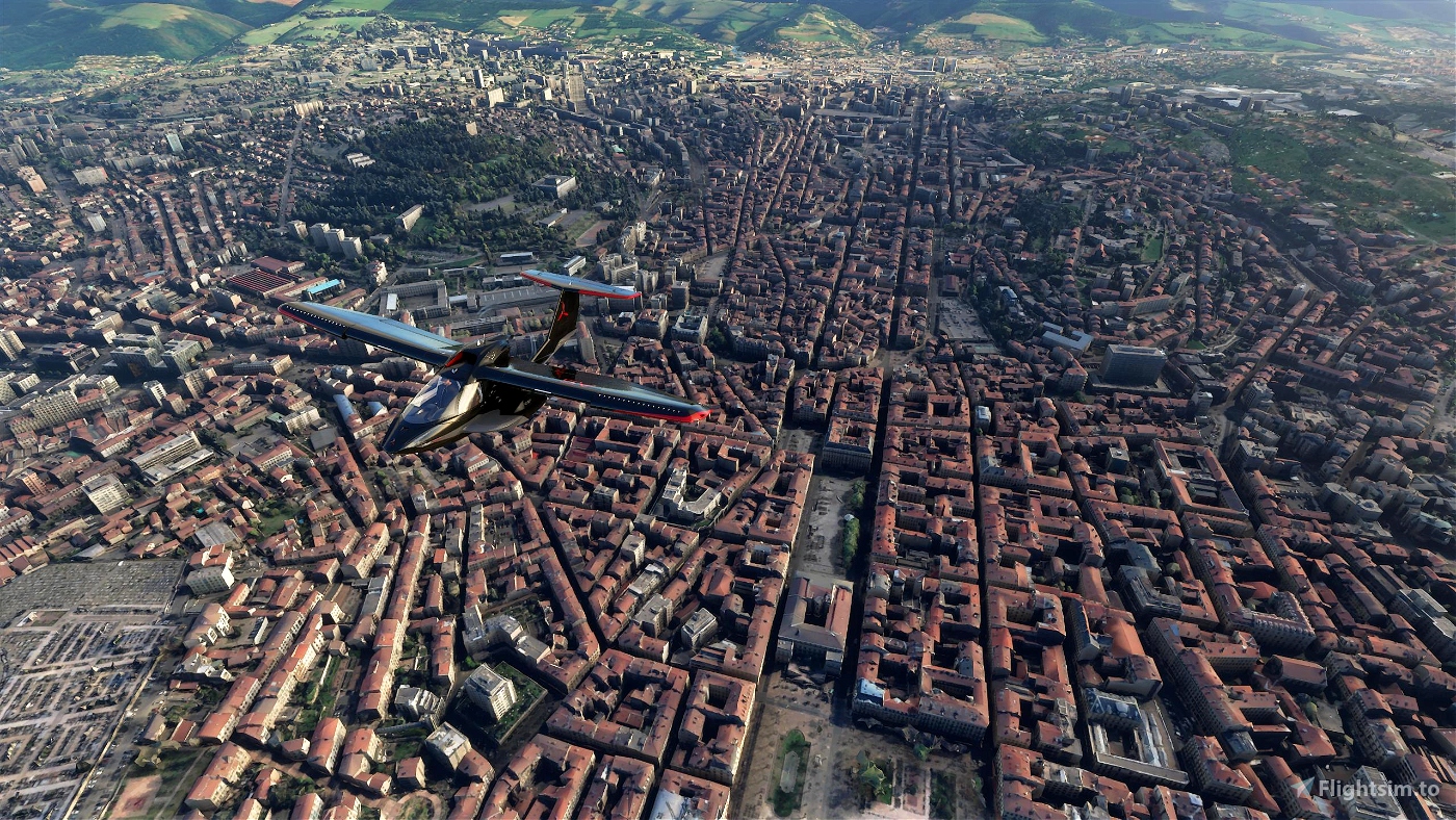
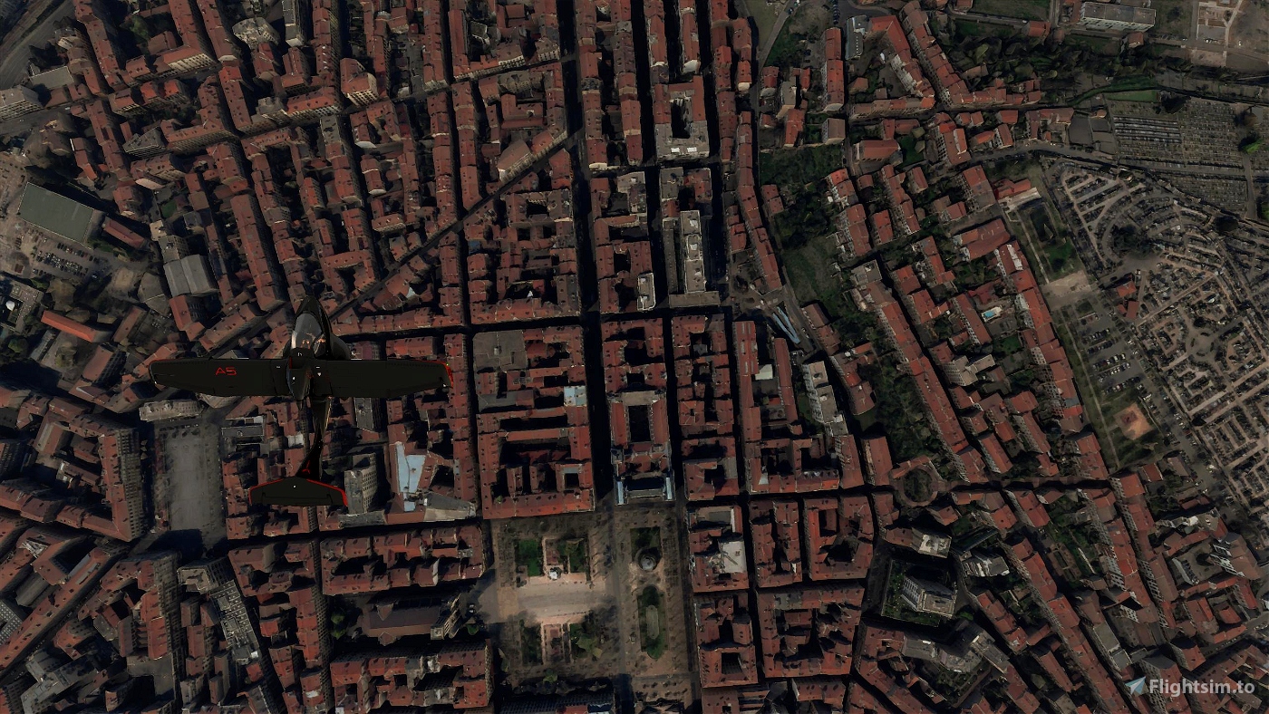
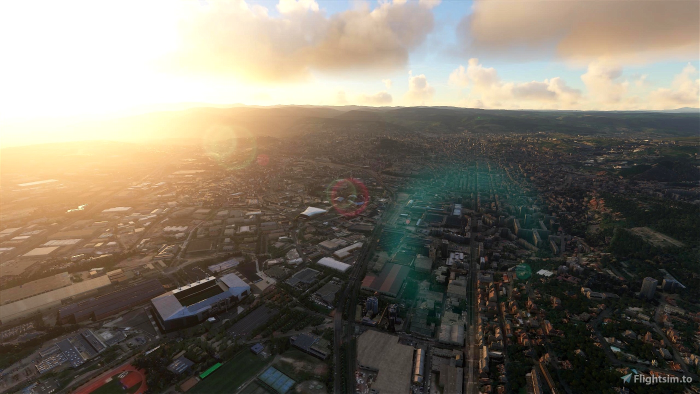
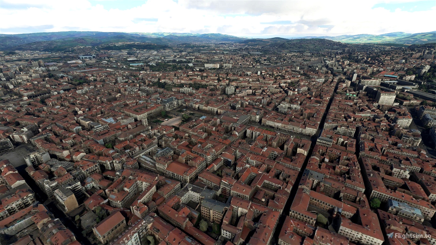
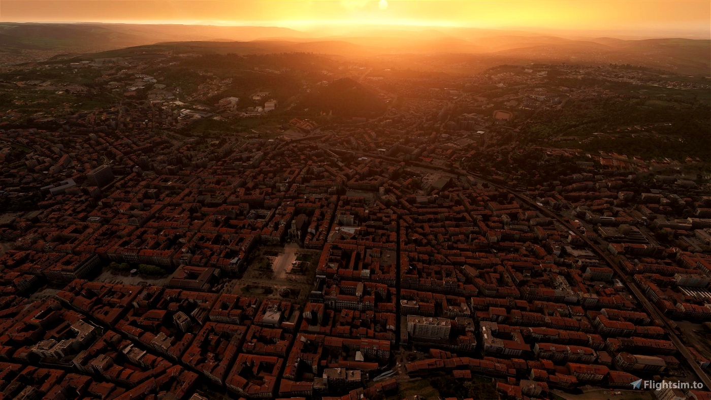

Saint-Étienne is a city in eastern central France, in the Massif Central, 55 km (34 mi) southwest of Lyon in the Auvergne-Rhône-Alpes region, on the trunk road that connects Toulouse with Lyon. Saint-Étienne is the capital of the Loire department and has a population of 172,565 (2017) in the city itself and over 520,000 in the urban area (2017).
In the last years Saint-Étienne made important transformations for transitioning from a 19th-century industrial city to the 21st century "European capital of design". This approach led to important urban renovations of the main districts of the city.
Named after Saint Stephen, the city first appears in the historical record in the Middle Ages as Saint-Étienne de Furan (after the River Furan, a tributary of the Loire). In the 13th century, it was a small borough around the church dedicated to Saint Etienne. On the upper reaches of the Furan, near the Way of St. James, the Abbey of Valbenoîte had been founded by the Cistercians in 1222. In the late 15th century, it was a fortified village defended by walls built around the original nucleus.
From the 16th century, Saint-Étienne developed an arms manufacturing industry and became a market town. It was this which accounted for the town's importance, although it also became a centre for the manufacture of ribbons and passementerie starting in the 17th century.
Later, it became a mining centre of the Loire coal mining basin, and more recently, has become known for its bicycle industry.
In the first half of the 19th century, it was only a chief town of an arrondissement in the département of the Loire, with a population of 33,064 in 1832. The concentration of industry prompted these numbers to rise rapidly to 110,000 by about 1880. It was this growing importance of Saint-Étienne that led to its being made seat of the prefecture and the departmental administration on 25 July 1855, when it became the chief town in the département and seat of the prefect, replacing Montbrison, which was reduced to the status of chief town of an arrondissement. Saint-Étienne absorbed the commune of Valbenoîte and several other neighbouring localities on 31 March 1855.
GPS: 45° 26′ 4.92″ N, 4° 23′ 25.08″ E
Credits:
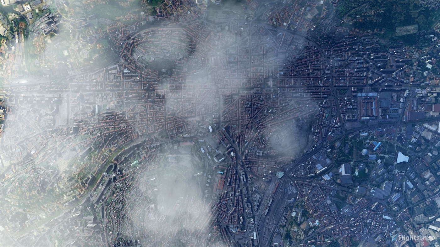
This scenery has been extracted from Google Maps, hence all 3D credits goes to Google.
This scenery has been generated with the Google Earth Decoder tool (credits to /u/Jonahex111):
https://www.reddit.com/r/FS2020Creation/comments/j3faaj/google_earth_decoder_now_userfriendly/
Addon history:
v1.0: initial release
v1.1: fix some elevation issues
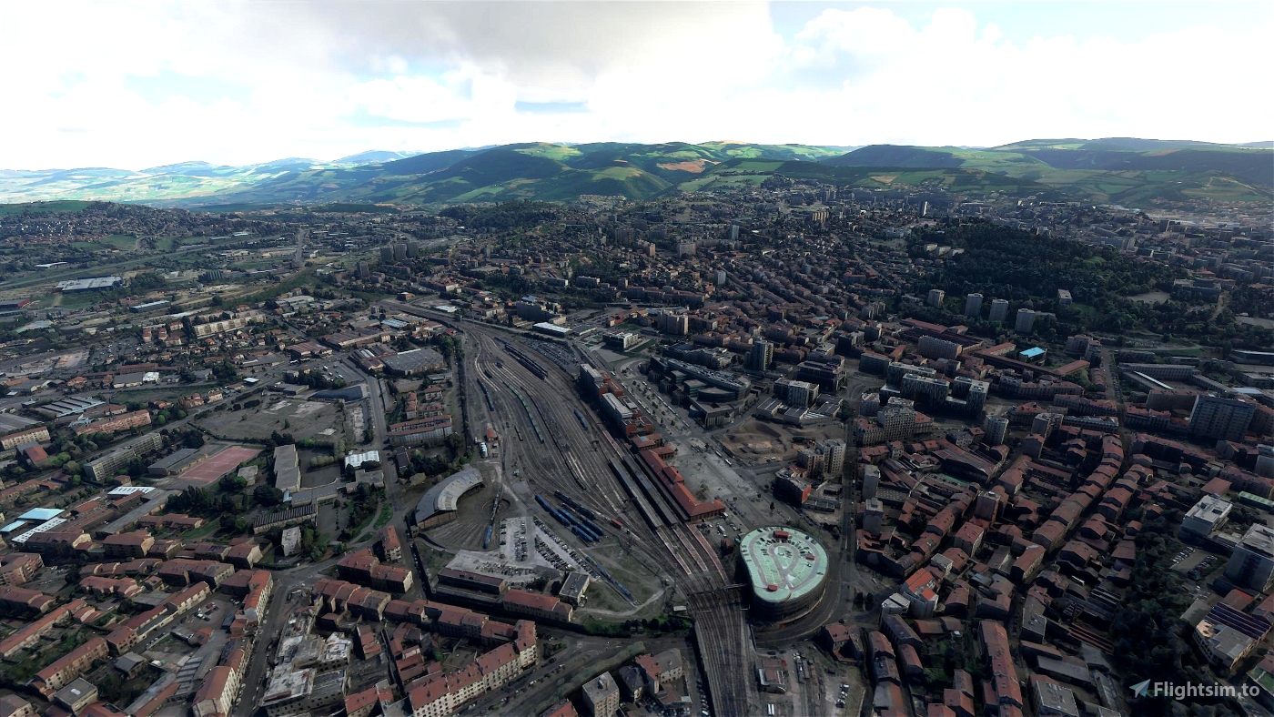
v1.2: improve Geoffroy Guichard scene
v2.0: overall optimization:
This is a major update that optimizes the package, as it drastically reduces the number of texture files:
- less files on the package:
before: 20807 files
after: 1403 files
- reduced CPU footprint
- reduced loading time at startup
- less CPU load, so it can leads to better perfs depending on the config
- better road traffic integration
- fix downtown lightning
v2.1: fix some texture flickering issues
v3.0: fix a big issue with the LOD management system, due to the way Google Earth Decoder places and sizes the tiles. Now, there should not be any FPS issues, and framerate should be better and more consistent
v3.1: add a fix for possible CTD issues ( https://flightsim.to/blog/creators-guide-fix-ctd-issues-on-your-scenery )
v3.2: change LODs settings
v3.3: reduced package size
v3.4: compatibility with the WU4 update
v3.5: fix elevation issue near downtown
Installation:
Remove old saintetienne folder, if it exists. Download thalixte-saintetienne.zip. Extract thalixte-saintetienne folder into the Community folder.
If you want to donate, you will always be welcome to help me continue with more projects and update the existing ones https://paypal.me/Thalixte.

 Thalixte


Berdeso
St Et mériterait une mise à jour, au regard de la qualité de tes dernières productions.
Je ne cherche pas à m'immiscer dans la gestion de tes priorités, bien que... 😊
Merci de ton attention.
HeliSAR69
Merci pour ce travail et les autres d'ailleurs.
Seul petit regret, que l'hôpital Nord ne soit pas implémenter ainsi que son hélistation.
Je vais tenter de comprendre comment faire, afin de rajouter l'ensemble.
OpusPocus
Je n'avais pas pris le temps de te remercie!
Alors c'est maintenant dit! merci pour tous ce travail, tes mises à jours et j'en passe.
Manusand
Limoges, pleeease, you're work is incredible and my donation for Limoges will be good!!!
JAF3414
je confirme que les soucis d'élévations ne sont plus là, je me suis régaler à survoler malgré une météo pas génial. Super boulot t'es un bon 😉 merci pour tes réalisations. Bye
Upsilon
GabinXx
fchosson
les antennes et lignes HT seraient top (vers le Guizay)
philcourtais
hjsmuc
antonyroma
Grafik
papic
fifounet