1LA3-Goose Island Airport. Located 07 miles SE of Hayes, Louisiana.
Surveyed Elevation is 4 feet MSL. no fuel
Other Remarks
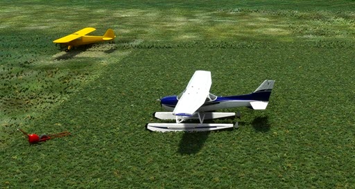
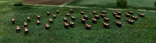
CATTLE GRAZE ON RWY.
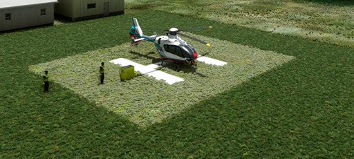
- added helipad without light
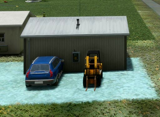
- added an extra parking spot
- added cows so you better look at the runway before you try to land to make sure their isn't any cows on the runway.
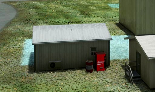
- added other objects to enhance the scene.
Nearby Airports with Instrument Procedures
ID Name Heading / Distance
Welsh Airport 6R1 Welsh Airport 000° 12.6
Jennings Airport 3R7 Jennings Airport 033° 15.2
Chennault International Airport KCWF Chennault International Airport 303° 19.4
Lake Charles Regional Airport KLCH Lake Charles Regional Airport 285° 21.1
Southland Field Airport KUXL Southland Field Airport 282° 28.9
Eunice Airport 4R7 Eunice Airport 039° 33.7
Abbeville Chris Crusta Memorial Airport KIYA Abbeville Chris Crusta Memorial Airport 094° 39.2
De Quincy Industrial Airpark Airport 5R8 De Quincy Industrial Airpark Airport 306° 41.4
Allen Parish Airport KACP Allen Parish Airport 009° 43.7
Lafayette Regional/Paul Fournet Field Airport KLFT Lafayette Regional/Paul Fournet Field Airport 076° 45.2
Acadiana Regional Airport KARA Acadiana Regional Airport 089° 49.5
St Landry Parish-Ahart Field Airport KOPL St Landry Parish-Ahart Field Airport 050° 49.5

 rcla39652


vFiReStOrMv
Could you tell me what the name is for the helipad marking in the scenery SDK?
rcla39652 author
I really don't know what to tell you. All I do is add a helipad and make the surface grass.
3 years ago
ozzieblr
Had to laugh when I saw my floatplane livery featured in a helipad scenery package - 'floating' om grass!!!