XS76 Texas Menhaden Strip according to SkyVector it is called Vaughn Farm Airport. So what ever you would like to call it. Located 03 miles SW of Tulia, Texas on 20 acres of land. Fuel: 100LL blue
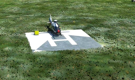
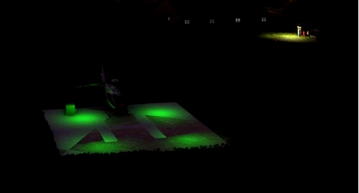
- added helipad with lights
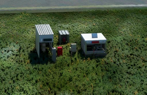
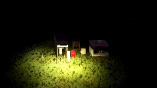
- added lights for the fuel station
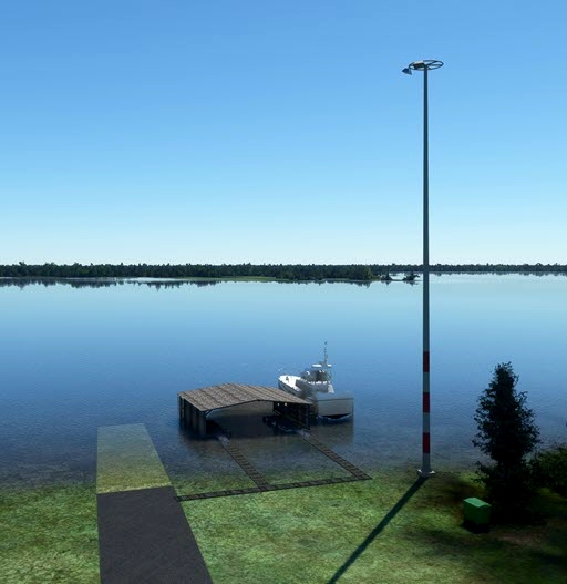
- added a Coast Guard Seaplane shade with dock and walkways
- added a Coast Guard Boat next to the dock
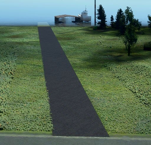
- added apron leading to the water if you want to go and enter the water and take off.
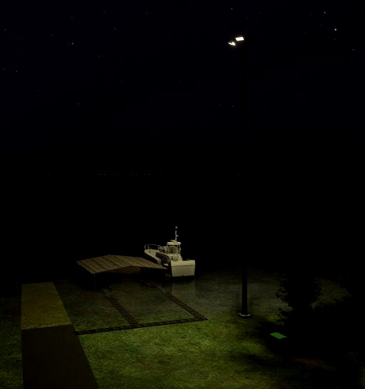
- added a light at the CG shad.
Nearby Airports with Instrument Procedures
ID Name Heading / Distance
Hale County Airport KPVW Hale County Airport 166° 21.1
Hereford Municipal Airport KHRX Hereford Municipal Airport 309° 32.8
Floydada Municipal Airport 41F Floydada Municipal Airport 141° 38.9
Tradewind Airport KTDW Tradewind Airport 359° 39.5
Rick Husband Amarillo International Airport KAMA Rick Husband Amarillo International Airport 007° 42.8
Littlefield Taylor Brown Municipal Airport KLIU Littlefield Taylor Brown Municipal Airport 219° 45.2
Muleshoe Municipal Airport 2T1 Muleshoe Municipal Airport 244° 45.4
Lubbock Preston Smith International Airport KLBB Lubbock Preston Smith International Airport 180° 50.7
Panhandle-Carson County Airport T45 Panhandle-Carson County Airport 023° 55.6
Crosbyton Municipal Airport 8F3 Crosbyton Municipal Airport 151° 60.4
City of Slaton/Larry T Neal Memorial Airport F49 City of Slaton/Larry T Neal Memorial Airport 172° 61.9
Clovis Regional Airport KCVN Clovis Regional Airport 265°

 rcla39652


davesailstx