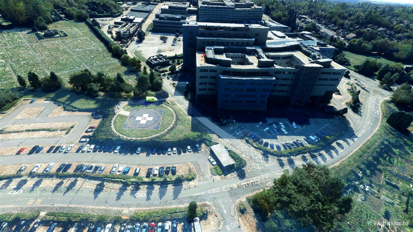
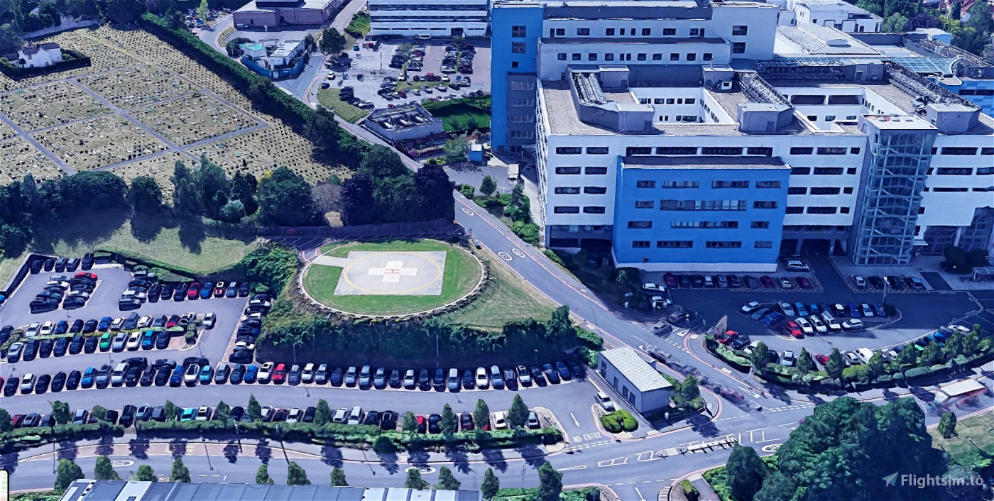
John Radcliffe Hospital - Oxford UK
This is the Photogrammetry version of John Radcliffe Hospital
This is for users who fly with Bing Data World Graphics and Photogrammetry ON. For the non-Photogrammetry version you can download my UK Major Trauma Hospital Helipads Support Project (Non-Photogrammetry Version)
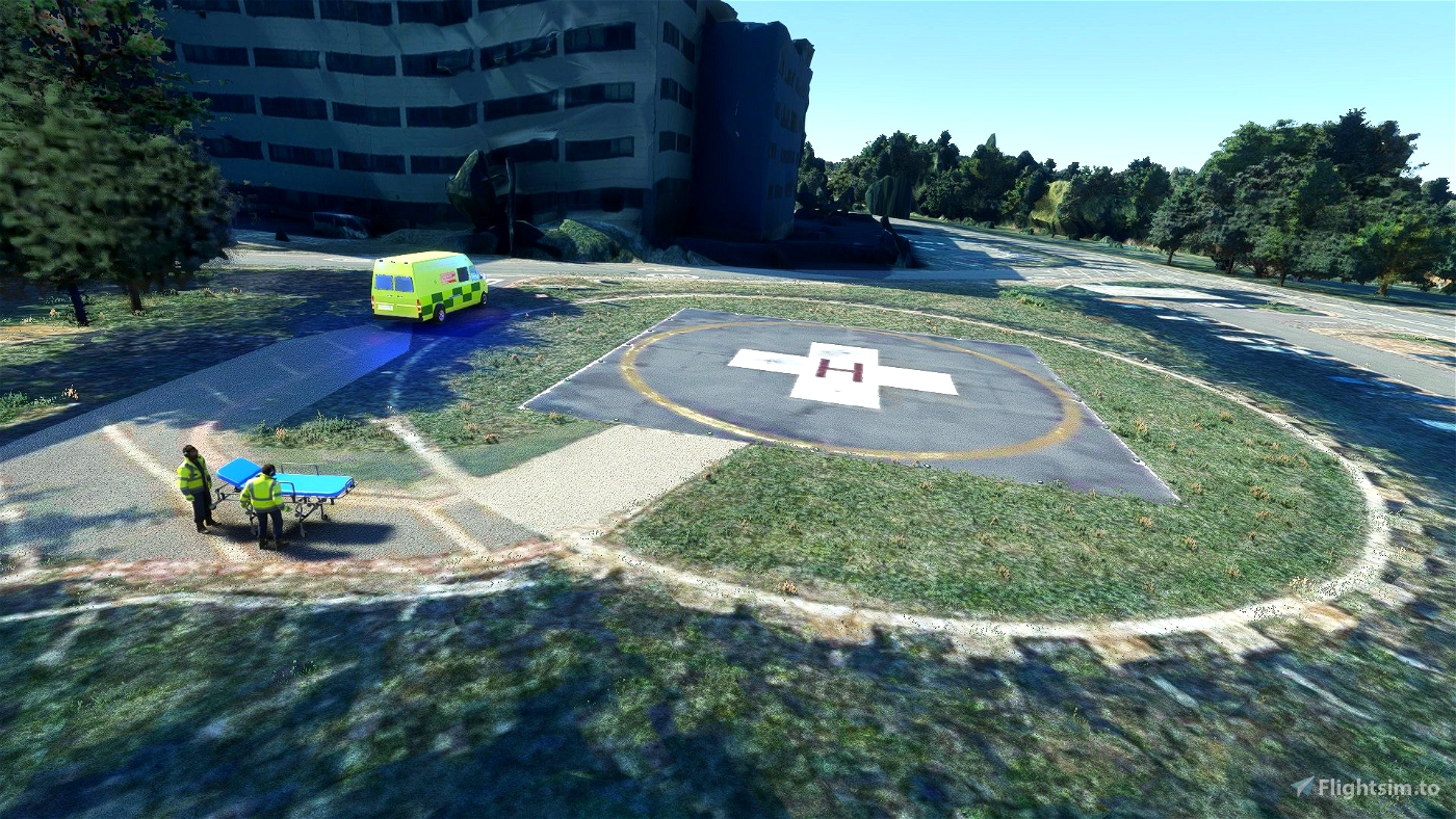
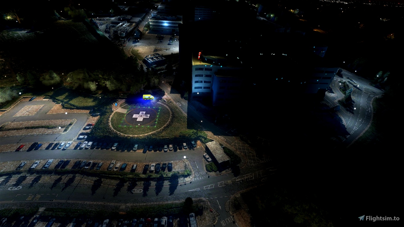
I am using EDHK light pack for the green helipad lights. If you fly at night I recommend the EDHK light pack.
You will need to download my UK Ambulance for the ambulance and gurney. It is listed as a required dependancy when you download
I have created a fictitious ICAO code for this and the other UK Helipads I have created. This is a STARS airport for easier navigation. The code for John Radcliffe is VH03.
You can see my other mods here: 68ponyGT

 68ponyGT
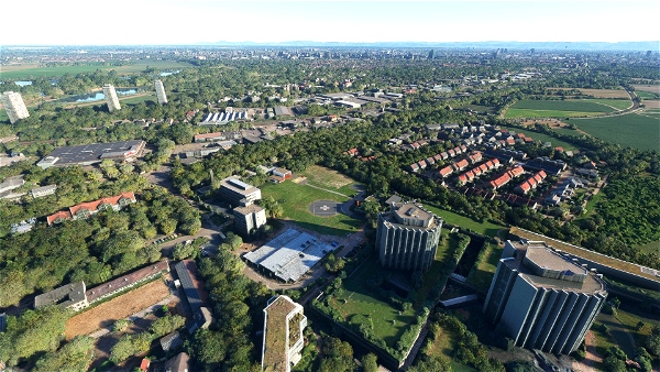


ricki429
Is that helipad sloped?
68ponyGT author
Are you using Bing Data and Photogrammetry? You can check this in General Options on the Data tab. This version was created to use with Bing Data and Photogrammetry ON. The version from my UK Major Trauma Hospital Helipad project will be off center and slopes down the hill into the road with the Bing data on. If you do not use photogrammetry try the version in my UK helipad project. Unfortunately the Bing Data changes terrain elevations, building positions, size, and shape, so for some sites like this one it is not possible to have 1 version that works with both settings.
3 years ago
jnln
Thanks again for making a photogrammetry version.