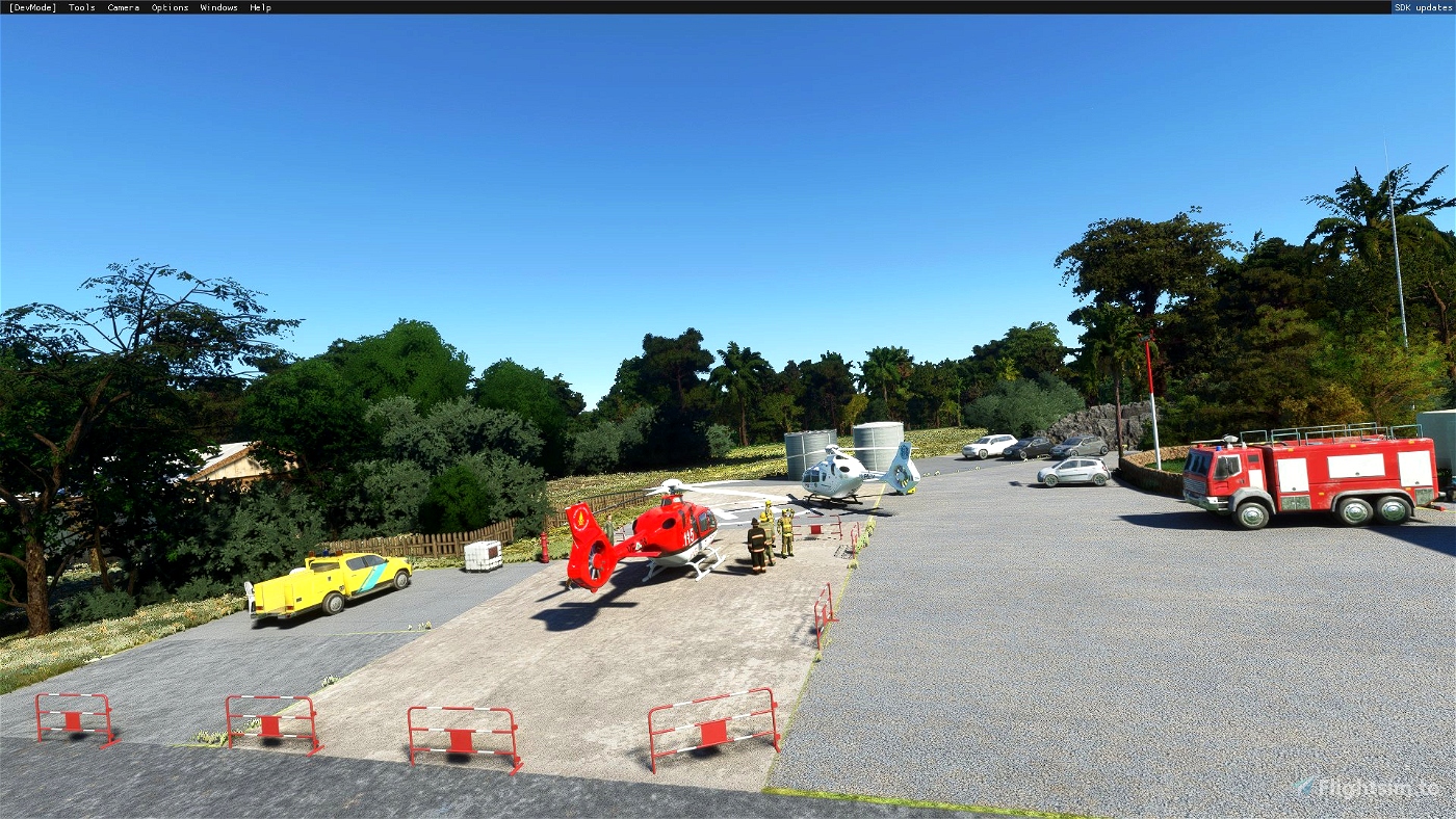
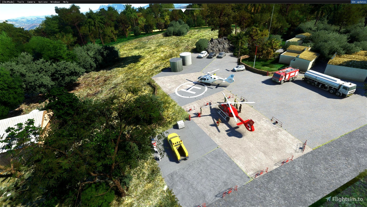
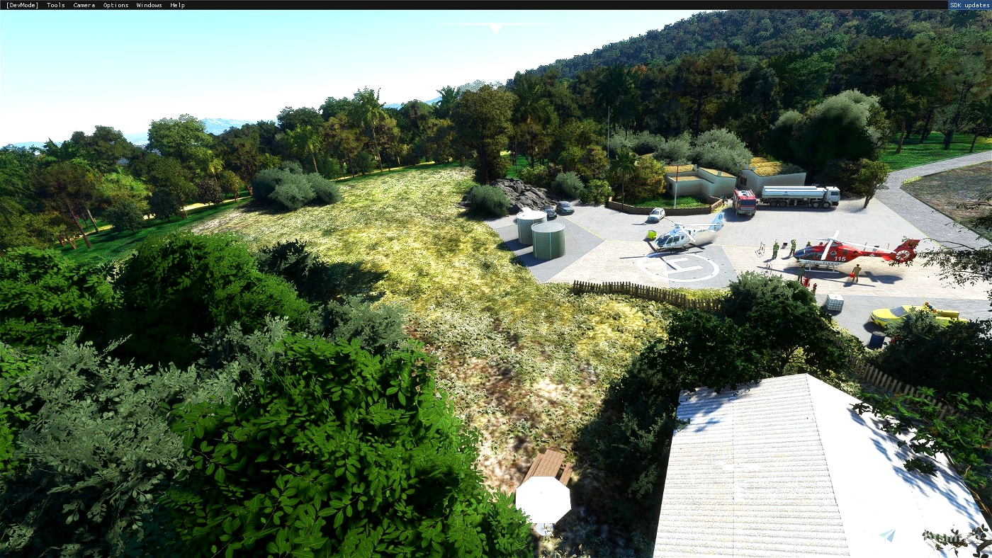
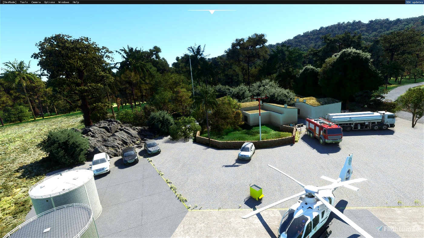
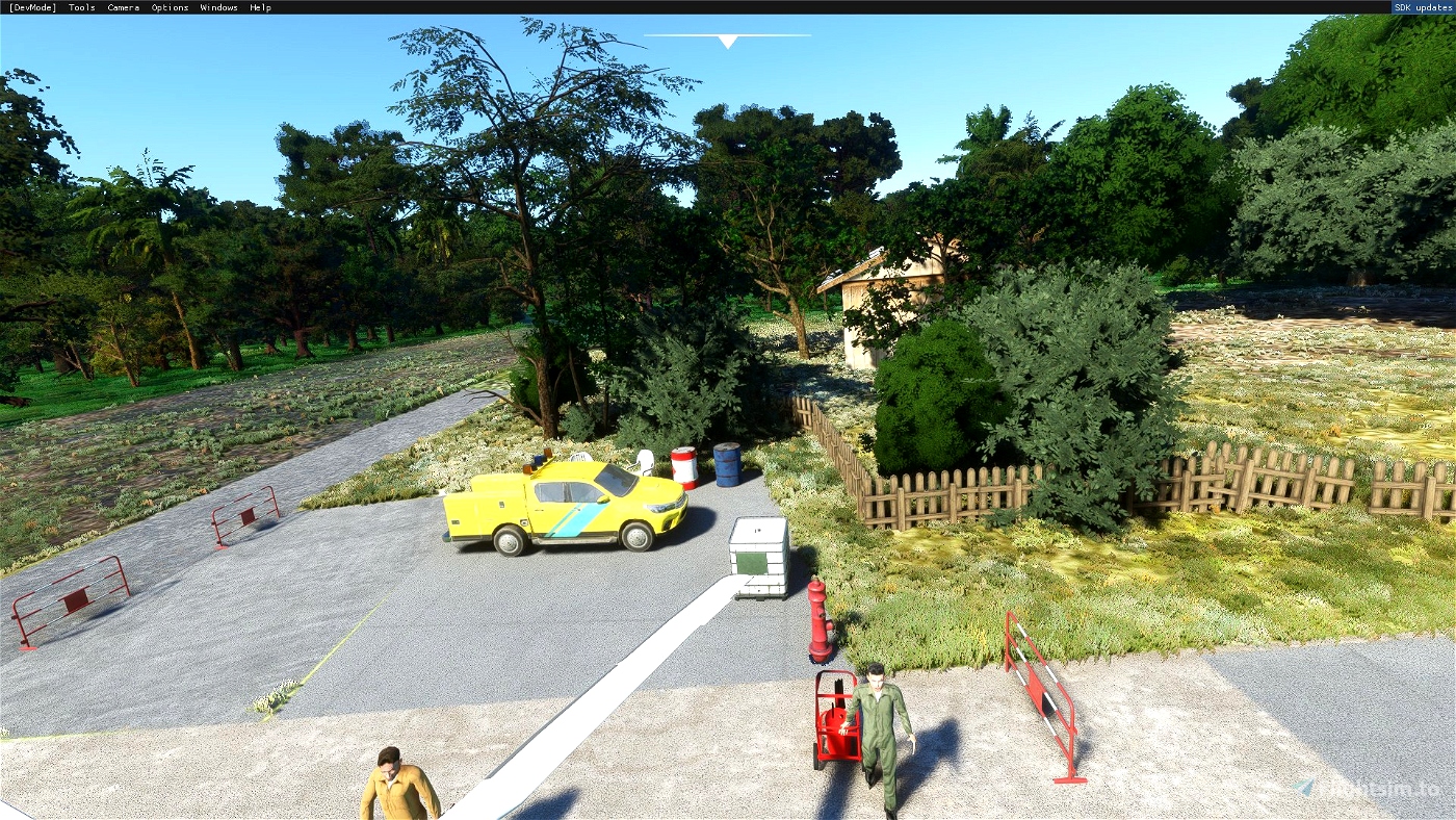
BASE ELICOTTERI ANTINCENDIO "MARIO CANU" FARCANA, AGGIORNAMENTO ELISUPERFICIE
MONTE ORTOBENE NUORO
CORPO FORESTALE VIGILANZA AMBIENTALE
V.1.2
ICAO CFVAF (FICTIONAL)
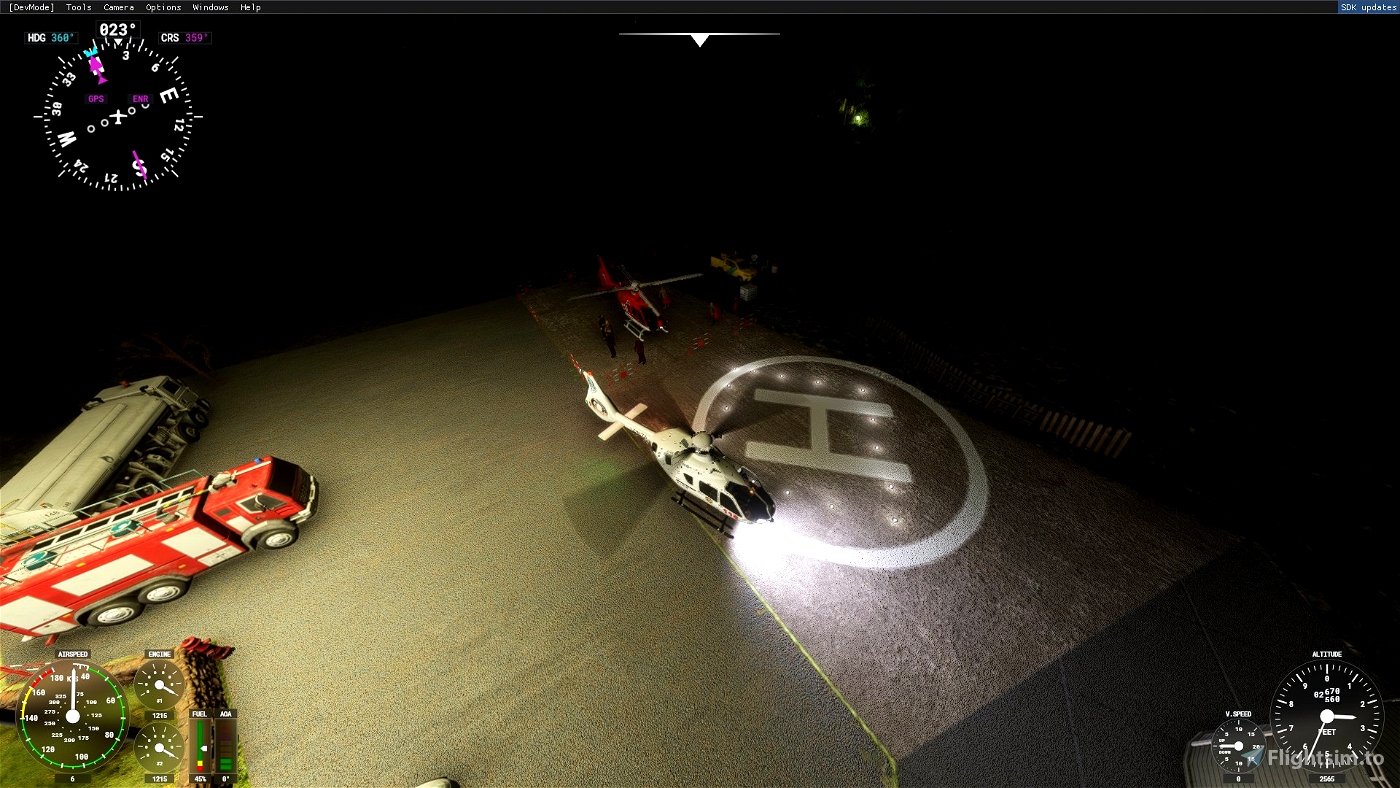
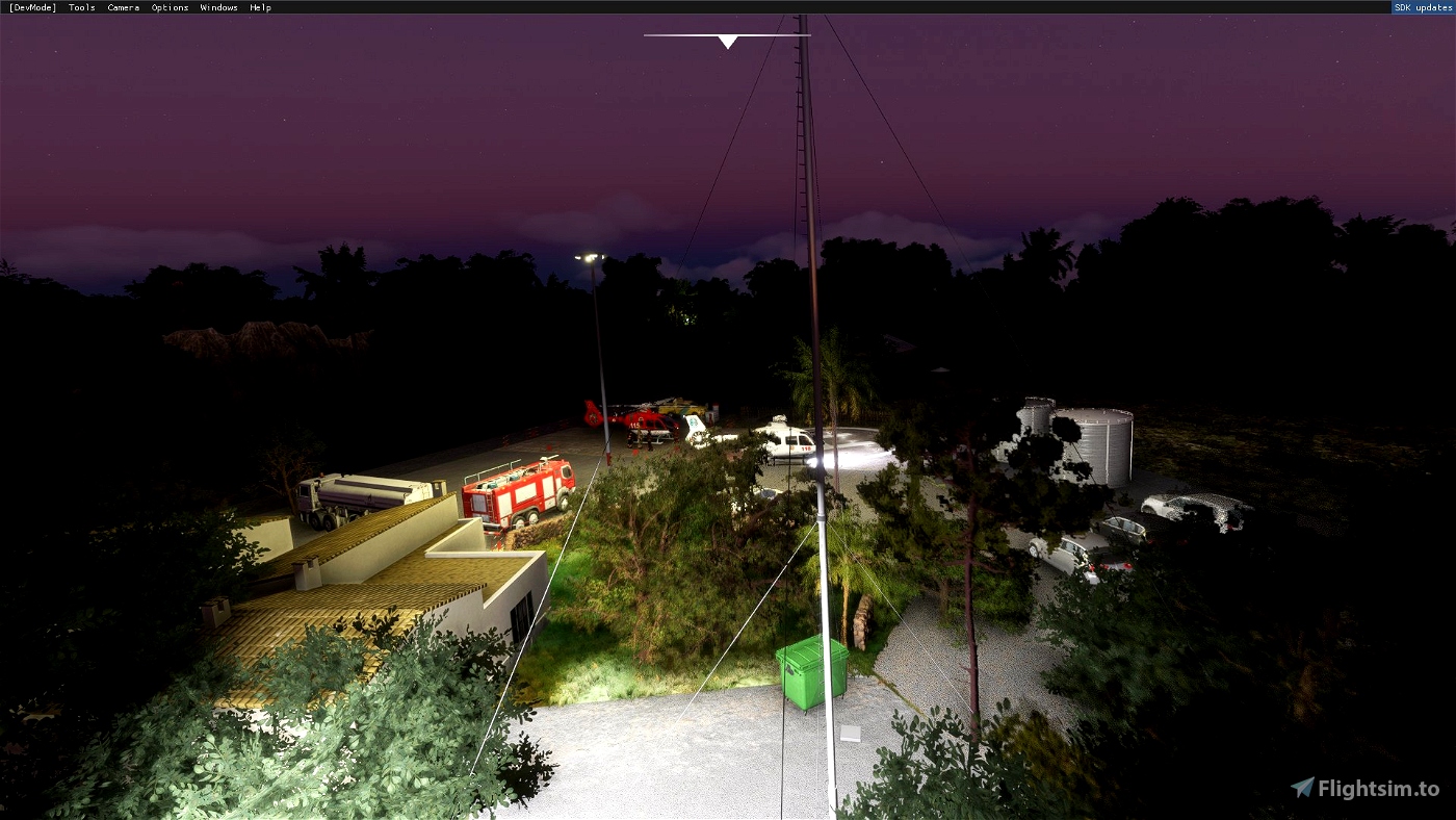
Per volare dovete inserire nella barra di ricerca dal menu volo la sigla ICAO arbitraria CFVAF o più semplicemente digiatre Nuoro, identificativo che ho creato per poter trovare senza errori la base elicotteri di Farcana.
CFVAF sta per Corpo Forestale Vigilanza Ambientale Farcana
La base si trova quasi in cima al monte Ortobene, Nuoro alle coordinate geografiche Latitudine 40°19'58.54"N, Longitudine 9°22'7.03"E altitudine 2510 Piedi ovvero 765.048 metri circa.
Tutto quento è stato ricostruito in base a foto disponibili sul web e tramite GoogleEarth quindi mi scuso in anticipo per eventuali incongruenze ricordando che infine per quanto sia simile al reale è sempre un simulatore di volo imperfetto.
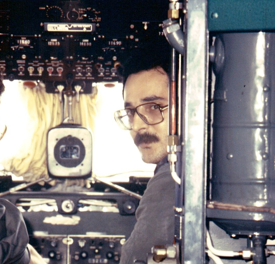
Ho voluto costruire questo scenario perchè amo volare e la simulazione di volo, ricordando la mi esperienza di volo sugli elicotteri dell'Aeronautica Militare negli anni 70, ma questa piccola base così sperduta e così in alto svolge una funzione importantissima per Nuoro, la sua provincia e tutti i cittadini.
Grazie al loro duro e strenuo lavoro ogni anno vengono salvate vite, boschi e preziosi beni ambientali che sono patrimonio di tutti noi.
Per questo per onorare il lavoro che questi uomini speciali fanno ho voluto che fosse il più simile possibile alla realtà.
Antonello Porcheddu [email protected]
Video disponibile su Youtube https://www.youtube.com/watch?v=uJnX-uiV-5ASCREENSHOT
Fire Helicopter Base Mario Canu Farcana,
Mount Ortobene Nuoro
Forestry body Environmental supervision
V.1.0
ICAO CFVAF
CFVAF stands for Forestry Body Environmental Supervision Farcana
The base is located almost at the top of Monte Ortobene, Nuoro to the geographical coordinates Latitude 40 ° 19'58.54 "N, Longitude 9 ° 22'7.03" and altitude 2510 feet or 765.048 meters.
Everything Queent was rebuilt based on photos available on the web and via Googleearth so I apologize in advance for any inconsistencies by reminding that finally as far as it is true is always an imperfect flight simulator.
I wanted to build this scenario because I love flying and the flight simulation, remembering the flight experience on the helicopters of the military aeronautics in the 70s, but this small base so lost and so at the top it carries out a very important function for Nuoro, its province and all citizens.
Thanks to their hard and strenuous work each year lives, woods and precious environmental goods that are assets of all of us are saved.
For this reason to honor the work that these special men do I wanted to be as similar as possible to reality.
Antonello Porcheddu [email protected]
Videos available on YouTube https://www.youtube.com/watch?v=UJNX-UIV-5ASCREENSHOT

 AirsardiniaVirtual

