Version 2.1, based on feedback from JazzSam: Parking spots added.
Little Update in the screenshot section: checkout the new video that shows the spectacular circle-to-land approach to RWY03
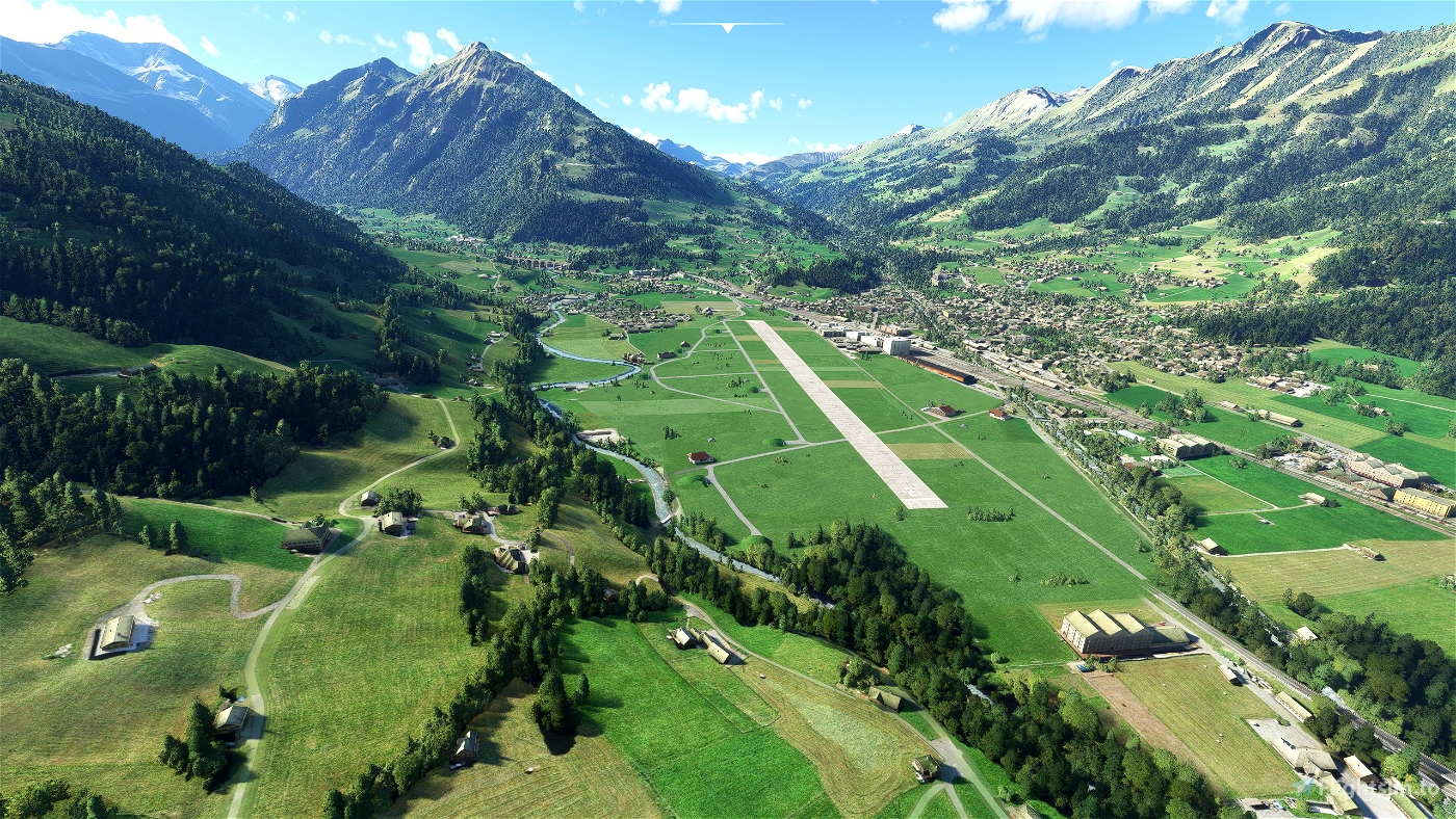
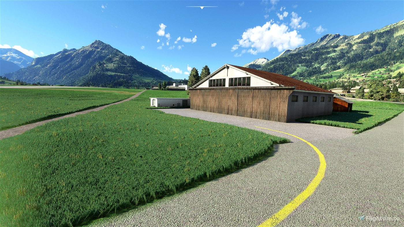
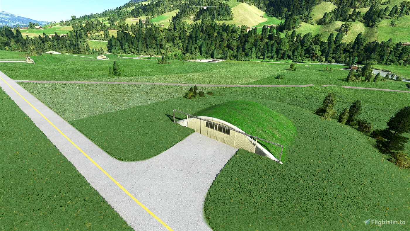
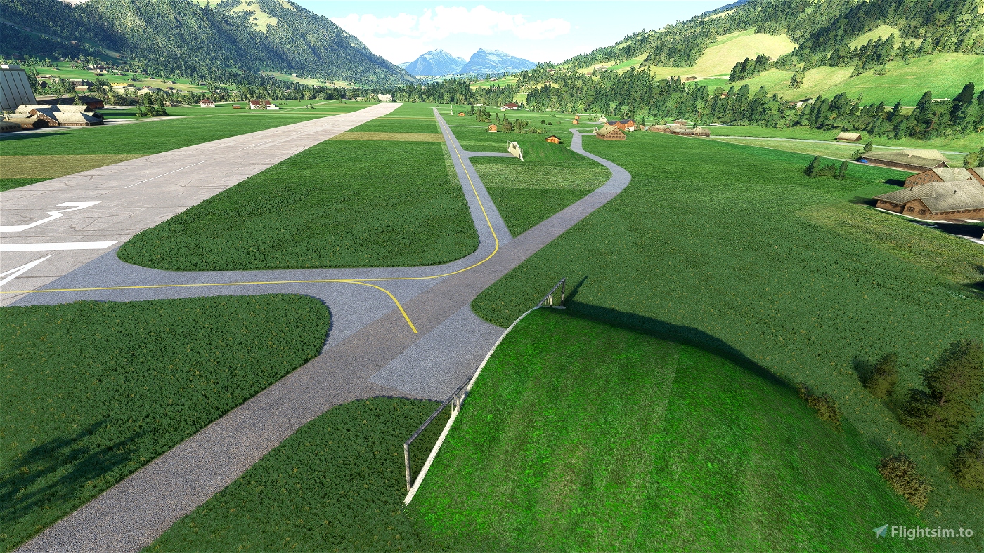
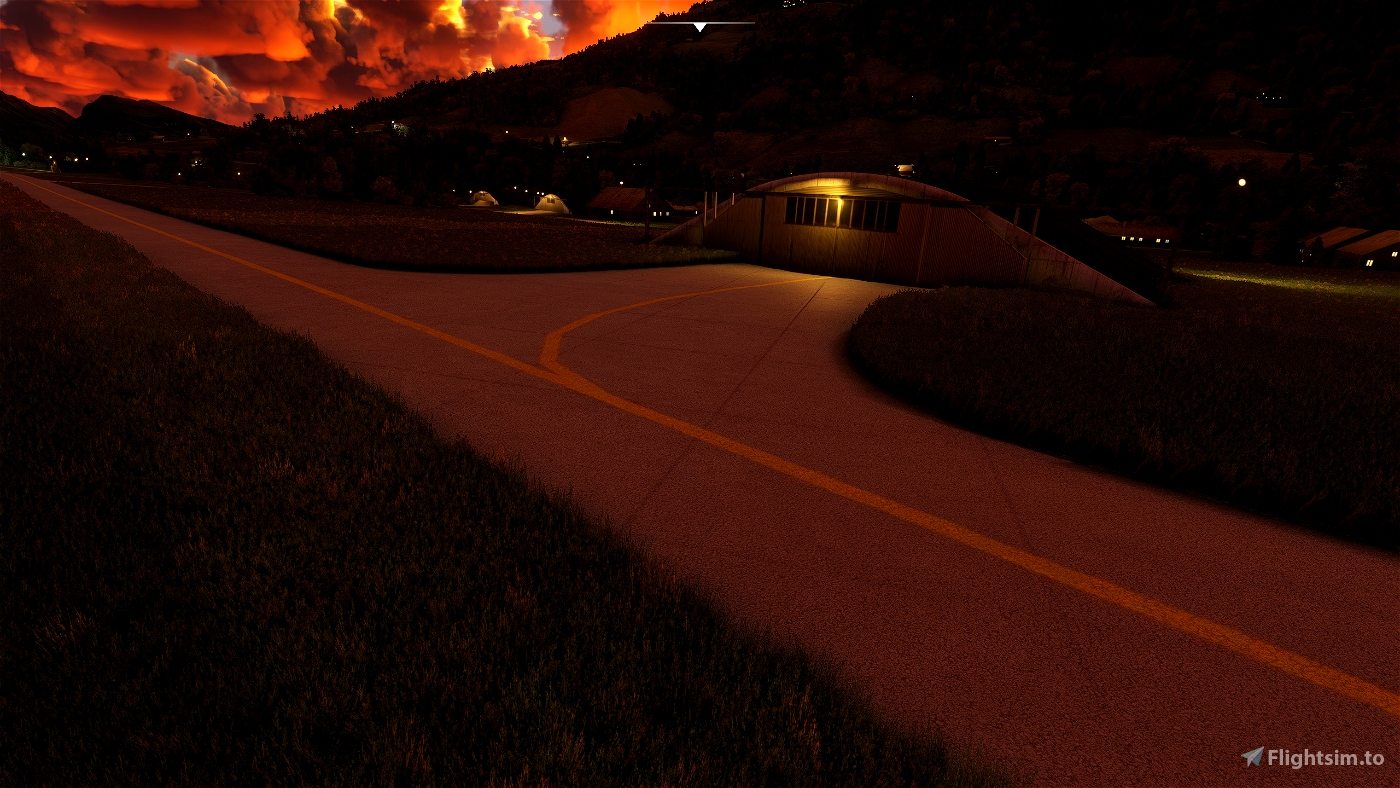
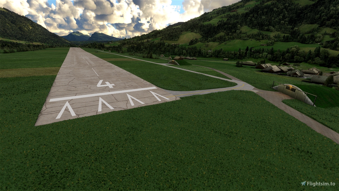
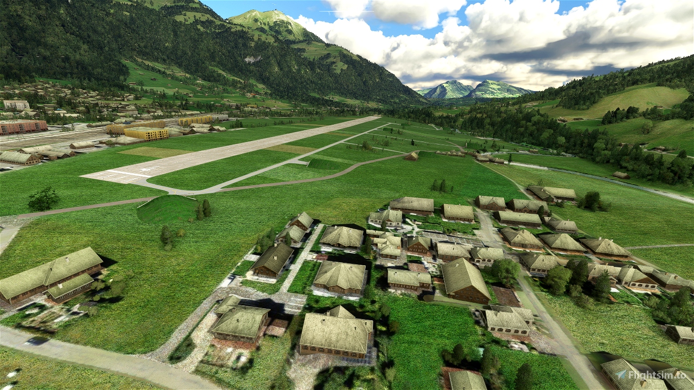
Version 2.0, based on user request: Maintenance hangar added / sloped runway with 18m elevation difference / many typical hay barns added in the middle of the airfield / taxiways re-textured / windsocks added
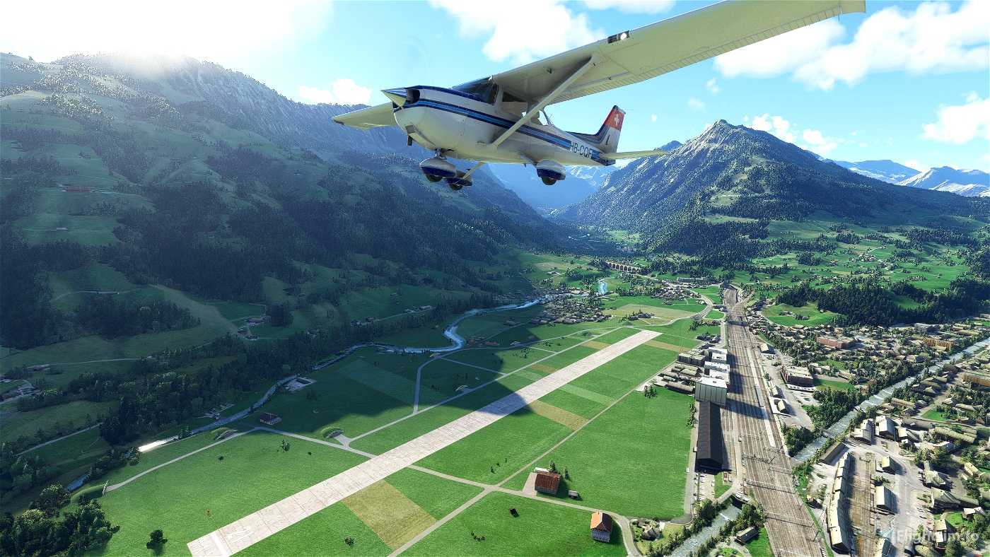
The perfect place for the new JU-52 and PC-6 Porter add-ons!! This is also the perfect place to take of with my PC-6 Swiss liveries!
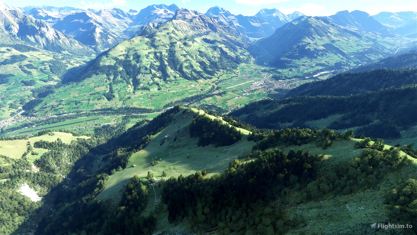
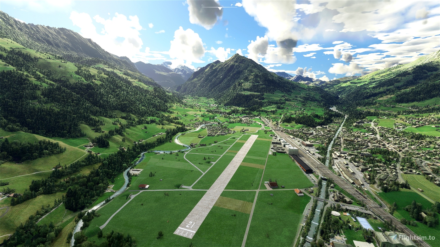
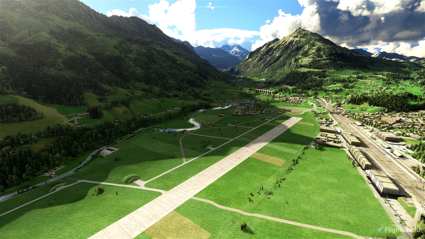
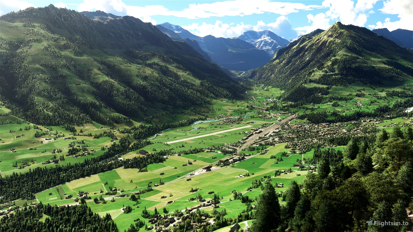
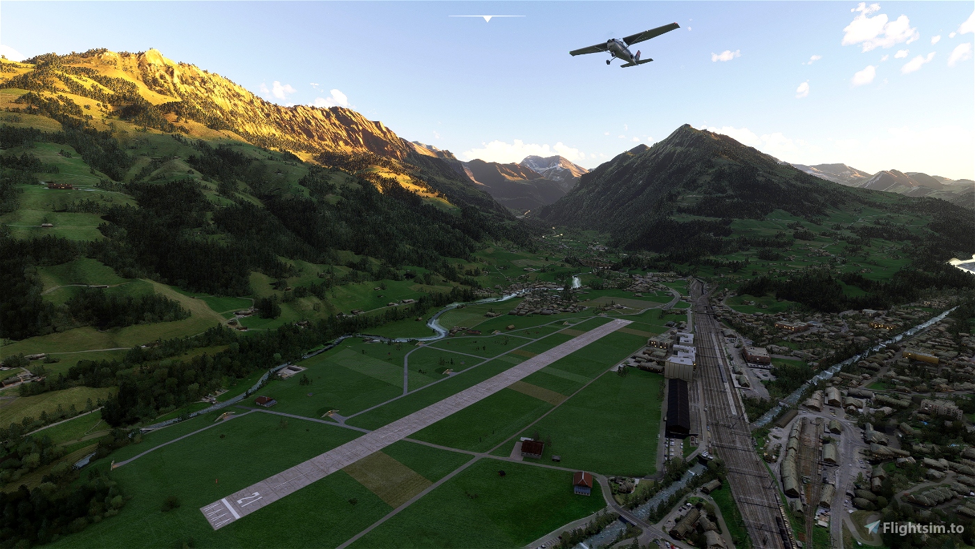
This scenery contains the military airport from Frutigen in its 1967 shape. Built during WWII, attempts to use it with fast jets later were not fruitful (the runway is only 900m) so it was used by air transport units (which operated both PC-6 as the JU-52). The airport was finally closed in 1997. So if you would like to bring back a small piece of aviation history, this scenery is for you!
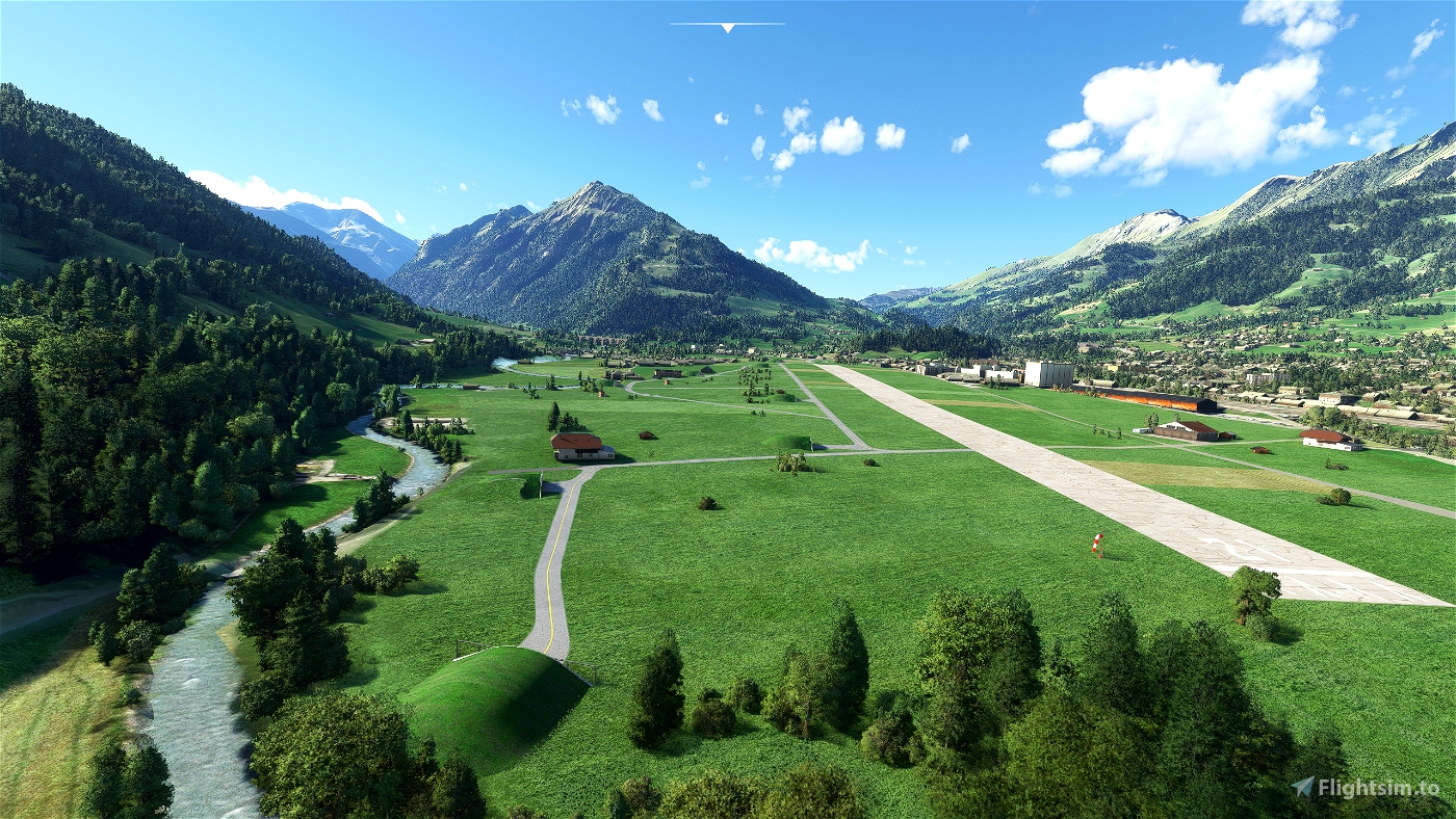
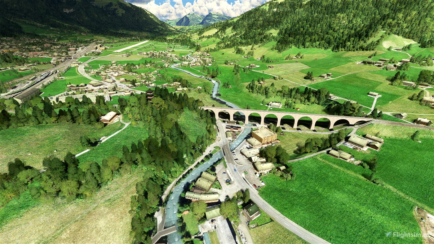
Additionally, the iconic 265m long Kander viaduct of the BLS railway is added to the scenery.
This is a typical Swiss military airport, where public roads run everyhwere through the airfield, where farmers cultivate hayfields between taxiway and runway and so on.
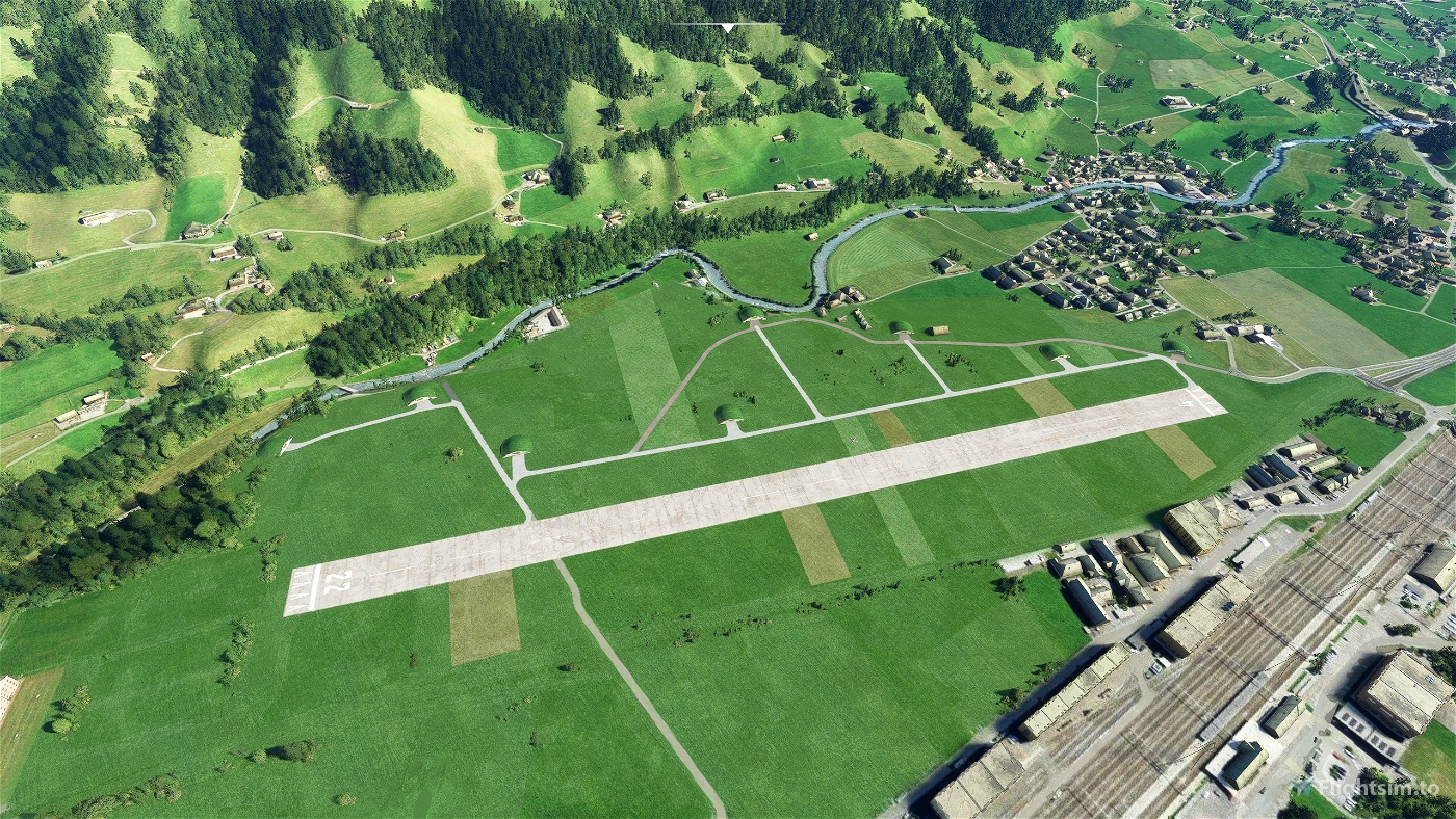
The following image shows the real airport in 1967 located to the right from the railyway station (the runway is hardly visible, because the image seems to be manipulated to make the classified airport at that time as invisible as possible). At the bottom of the image, you see the BLS viaduct:
The scenery excludes quite a bit of later built buildings and roads. Also the cars, running across the airfield are excluded!
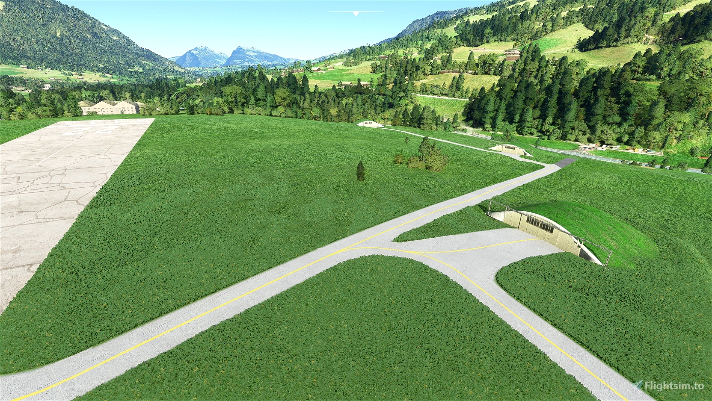
Besides that the infrastructure is not dense. Also the real airport bascially had 8 U-43 shelters and a hangar and that was it.


CaptainMoonlight
JazzSam
Hab meine Wertung angepasst auf 5, mit Parkfeldern Top.!!!
JazzSam
Schön gemacht, aber ohne Parkfeld für mich nicht brauchbar. (Kalt & Dunkel Start)
flightzoomer author
Hoi Sam, Parkfelder sind unterwegs....
3 years ago
SACrafters
Very cool, bringing it back to life.
Did you know the GIS-Browser has historic aerial images which might help you with more exact placing of things? As of 1975 two of the shelters seem to be gone already - one is still somewhat visible though.
https://map.geo.admin.ch/?lang=de&topic=ech&bgLayer=ch.swisstopo.pixelkarte-farbe&layers=ch.swisstopo.zeitreihen,ch.bfs.gebaeude_wohnungs_register,ch.bav.haltestellen-oev,ch.swisstopo.swisstlm3d-wanderwege,ch.astra.wanderland-sperrungen_umleitungen,ch.swisstopo.swissimage-product&layers_opacity=1,1,1,0.8,0.8,1&layers_visibility=true,false,false,false,false,true&layers_timestamp=19691231,,,,,1975&E=2616723.50&N=1159796.11&zoom=11
(copy & paste the url, as the link doesn't work)
flightzoomer author
Hey, great link! I did not have that source, but great indeed! But ... I see all the 8 shelters on it?
3 years ago
hervef
great !!! Thank you.... You just need to add the windsock AND the old wooden hangar on the opposite side of the little shelters (you can see the print in the terrain photogrammetry 😉. Congratulations, good idea !! it would be great to have as well Ambri, Sankt Stephan, Saanen, Munster, Raron...and Reichenbach of course !!!
Pistenbully600
Saanen, Munster already exist
3 years ago
Pistenbully600
der gibts in real nicht mehr ist jetzt intustri zone aber danke trotztem