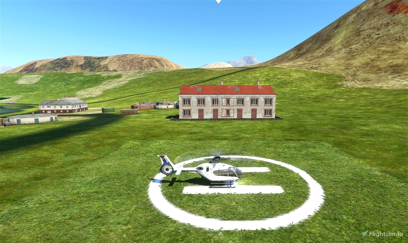
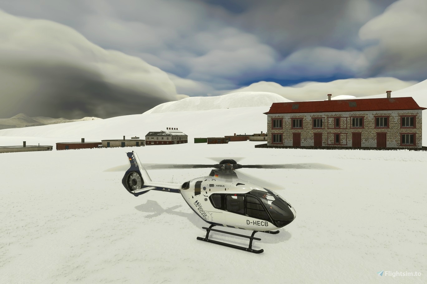

New Helipad/Airfield Scenery for SGGB Grytviken Whaling Station, South Georgia, Southern Atlantic Ocean.
It is part of the British overseas territory of South Georgia and the South Sandwich Islands.
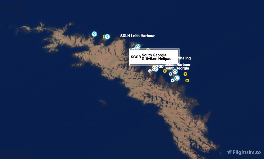
"SGGB South Georgia Gritviken Helipad" msfs map iden. Note sorry spelling error! should be Grytviken! will change next update.So for now if map search use "Grit......" or SGGB
Navigation Location real 54°16'49.4"S 36°30'36.2"W -54.280375, -36.510047 (Helipad Grytviken)
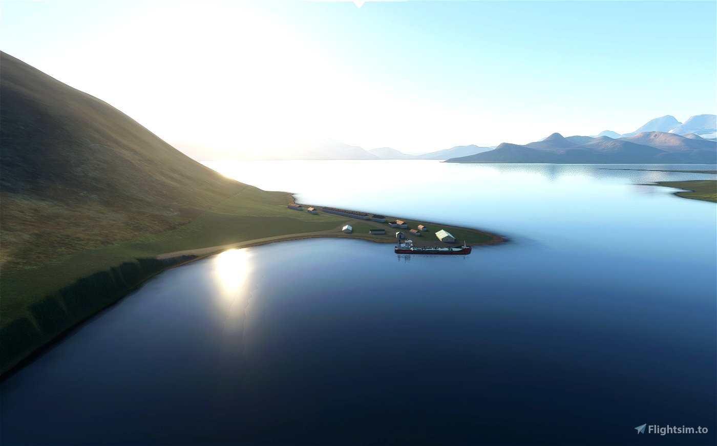
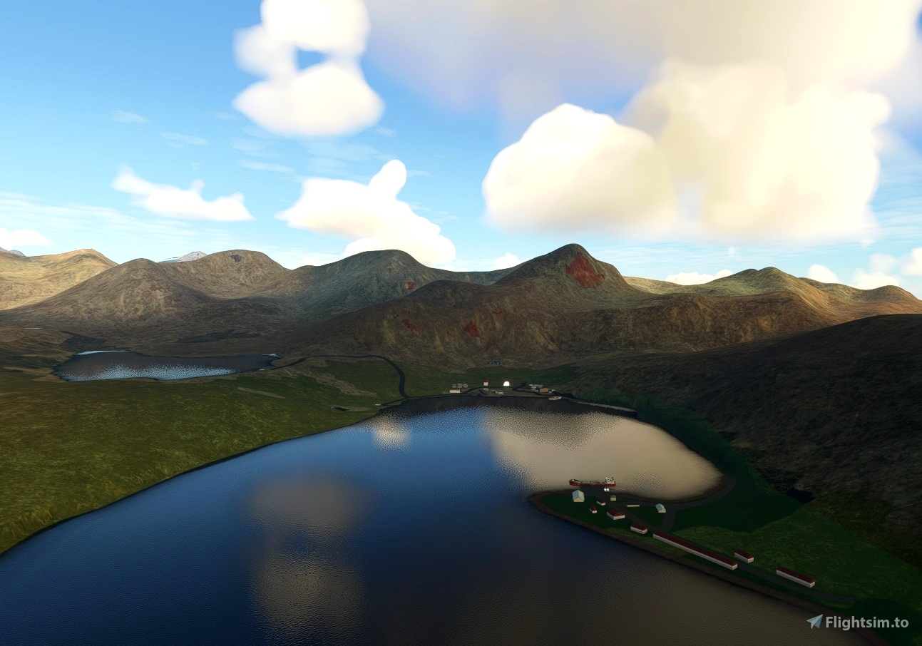
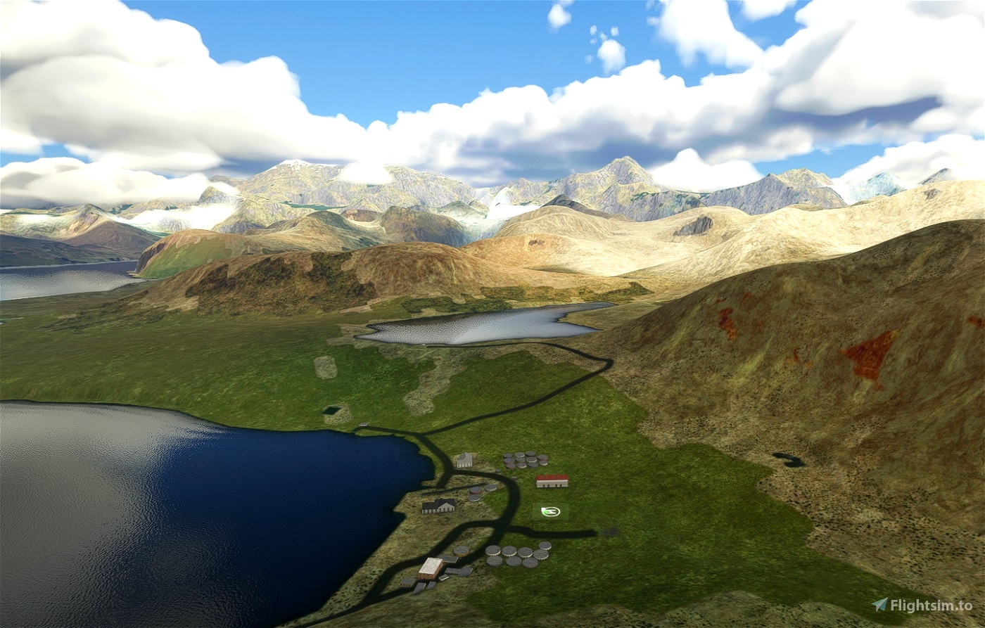
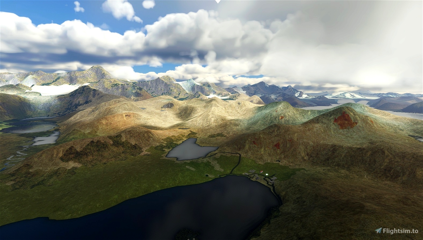
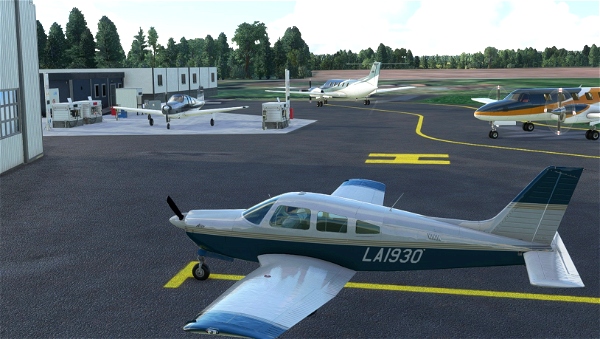
By request. (King Penguin country). This is very basic scenery, with a fictitious Helipad at Grytviken on South Georgia.
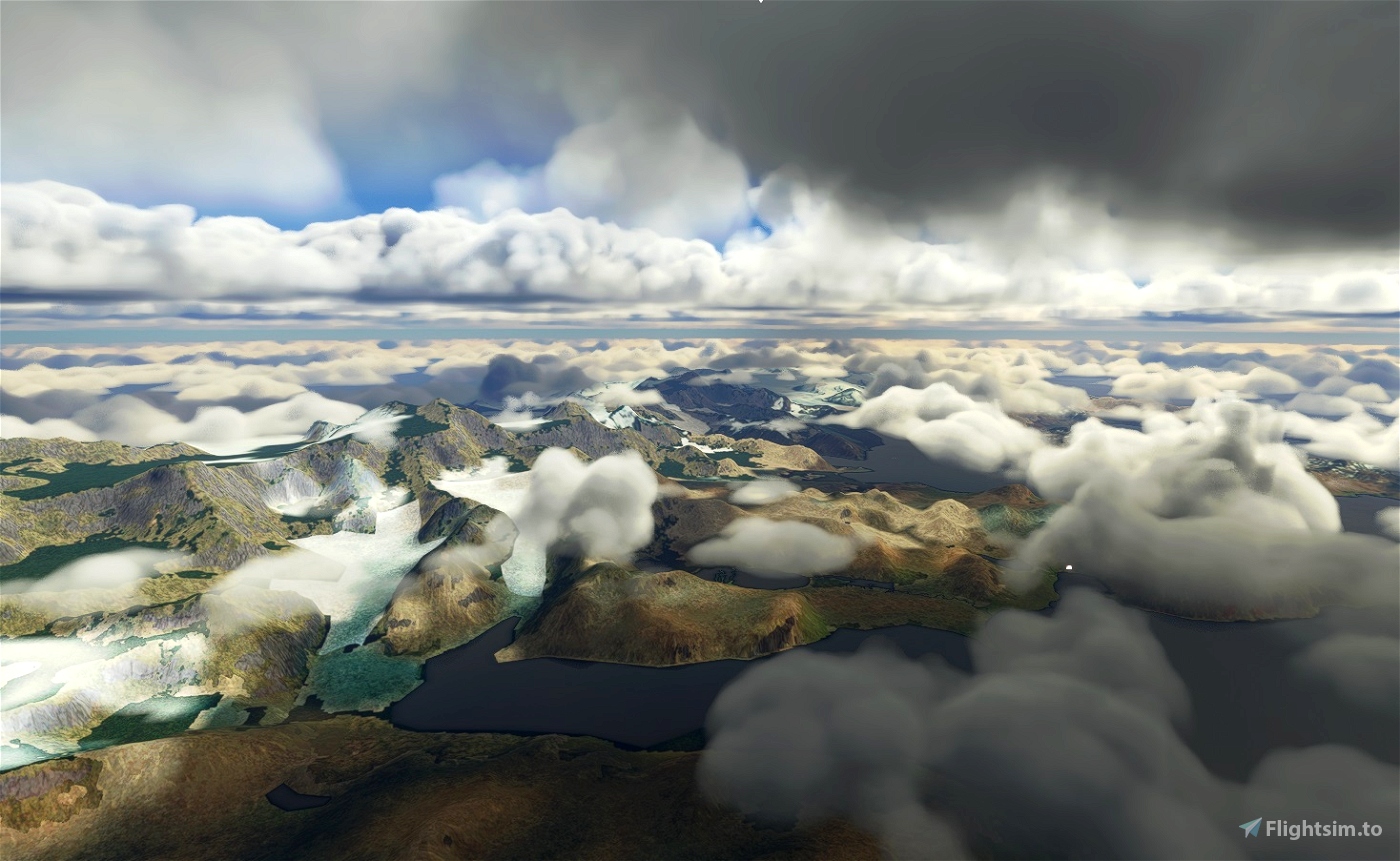
A STOL aircraft, maybe? would manage ok! An old Whaling station & the first area to be occupied on the Island. Check the weather! Summertime is best! Loads of room for improvement especially to all the old whaling station buildings etc.
Now version 2.0 Improvements to scenery at King Edward point. All original msfs models etc used. (All the South Sandwich Islands, now identified and placed as POI on map in v3.0 soon to be released)
Info.
The island of South Georgia was first sighted in 1675 by Anthony de la Roché, a London merchant and (despite his French name) an Englishman. The island appeared as Roche Island on early maps. The commercial Spanish ship León, operating out of Saint-Malo sighted it on 28 June or 29 June 1756. James Cook circumnavigated the island in 1775 and made the first landing. He claimed the territory for the Kingdom of Great Britain, naming it the "Isle of Georgia" in honour of King George III of the United Kingdom. British arrangements for the government of South Georgia were established under 1843 British letters patent. South Georgia became a base for whaling beginning in the 20th century. A Norwegian, Carl Anton Larsen, established the first land-based whaling station and first permanent habitation at Grytviken in 1904. It operated through his Argentine Fishing Company, which settled in Grytviken. The station operated until 1965. Whaling stations operated under leases granted by the Governor of the Falkland Islands. Government - Executive power is vested in the Monarch of the United Kingdom and is exercised by the commissioner, a post held by the Governor of the Falkland Islands.
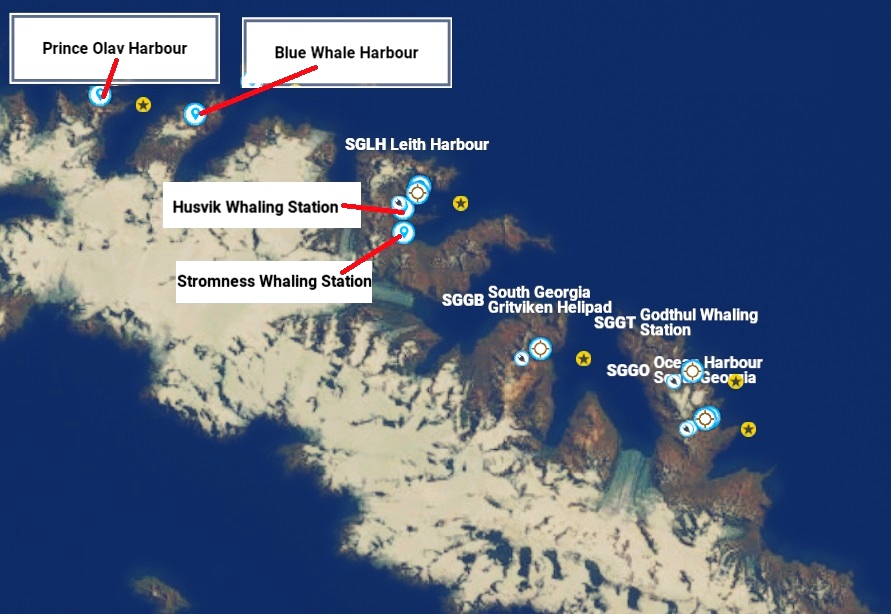
Seven Stations all based on the north coast from West to East are -
1) Prince Olav Harbour- POI on map, Leith scenery.
2) Leith Harbour - Link to Leith Scenery
3) Stromness - POI on map, Leith scenery.
4) Husvik -POI on map, Leith scenery.
5) Grytviken -This scenery
6) Godthul - Link to Godthul Scenery
7) Ocean Harbour - Link to Ocean Harbour Scenery
Scenery for Leith including POI for Husvik, Stromness, Prince Olav Harbour & Whale Island is available.
Also Ocean Harbour & Godthul also available.
Installation - After unzipping, place the complete "sac-airport-sggb-south-georgia-gritviken-helipad" folder
into your MSFS community folder.
Thats it, Have fun.
Thankyou to all who enjoy these free downloads, its fun making them & hopefully the quality
will improve with experience.
If you like them please comment & give a star rating.
Click on the Blue "Follow" box for updates so you get notified & click like Red "heart" box, if you did!
Thirsty work!
If you feel you would like to buy me a coffee, use the "PayPal me" button below.
Many Thanks.
Please take a look at my other scenery, generally small files & fast downloads. SAC Designs
 amb7364

BlackCloud455
Love the attention to this region! Being a former US Navy weather observer, my first duty station was Operation Deep Freeze, Summer Support. Because of this, my longtime interest in Antarctic explorers blossomed. I am surprised that you've not mentioned that Sir Ernest Shackleton was buried in the old Whaling cemetery on South Georgia. As far as known, he has been the only person to have been laid to rest with his head pointed to the South - towards Antarctica. Written source:
http://www.pelagic.co.uk/logbooks/log97ind/970206.html
amb7364 author
Just been pulling my hair out trying to make a base at south pole, harder than getting there!
3 years ago
amb7364
"SGGB South Georgia Gritviken Helipad" msfs map identification. Note sorry spelling error! should be Grytviken! will change next update. So for now if map searching use "Grit......" or SGGB