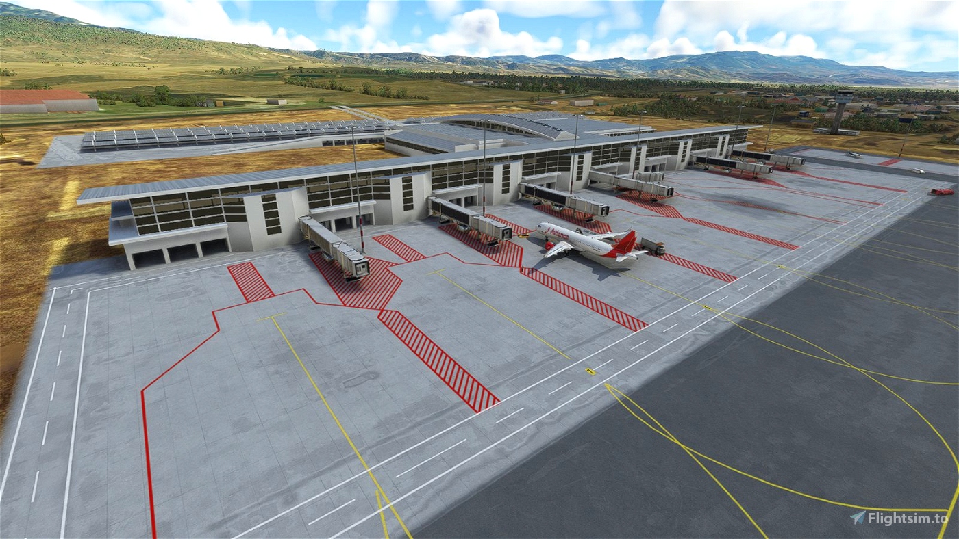
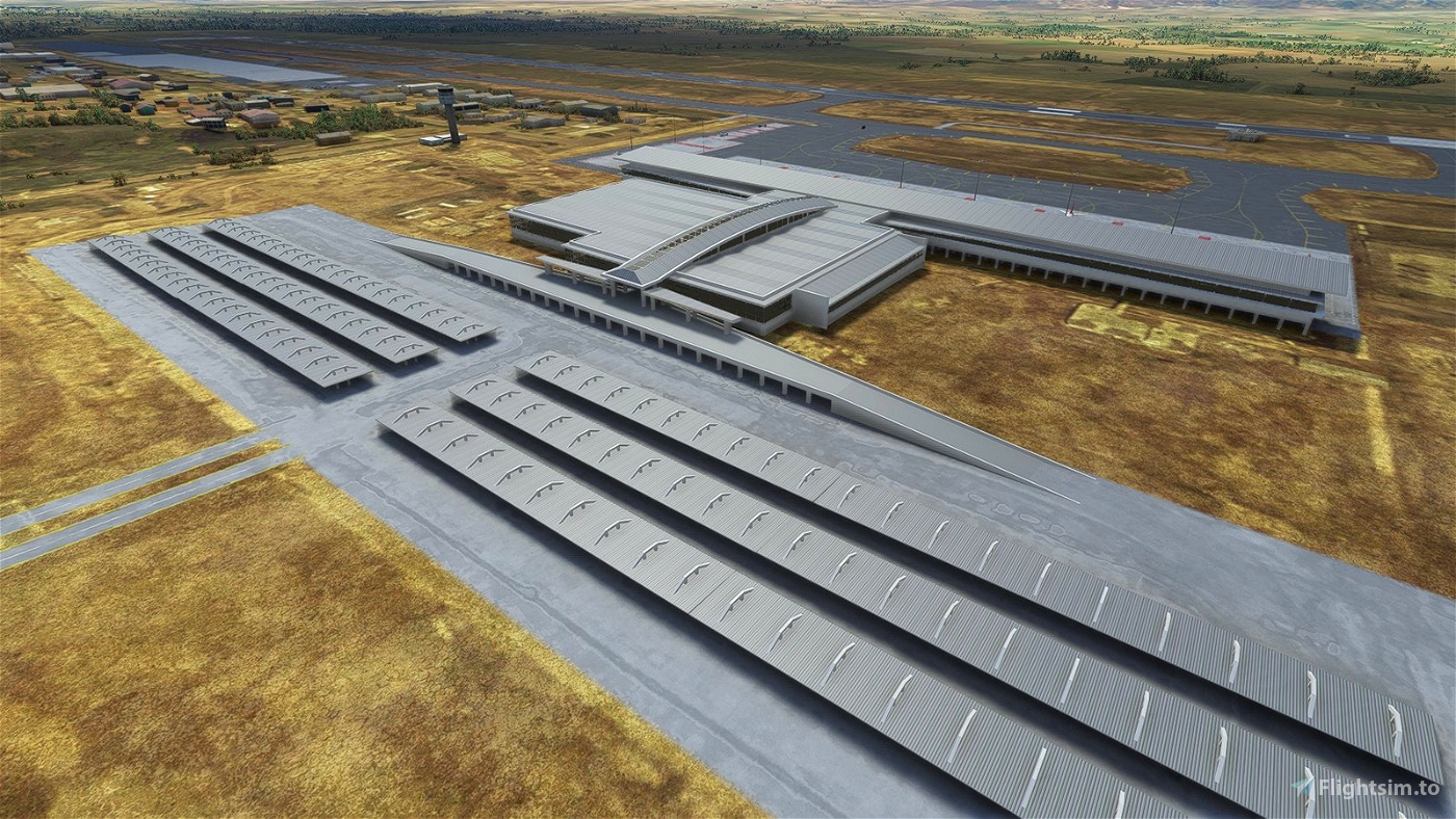
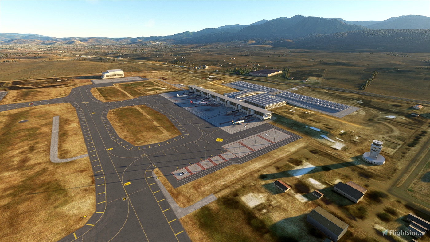
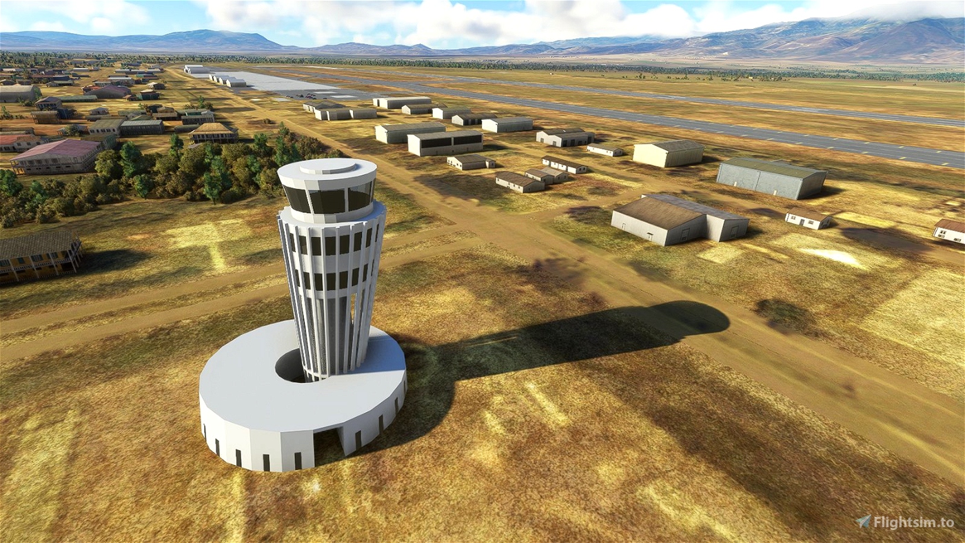

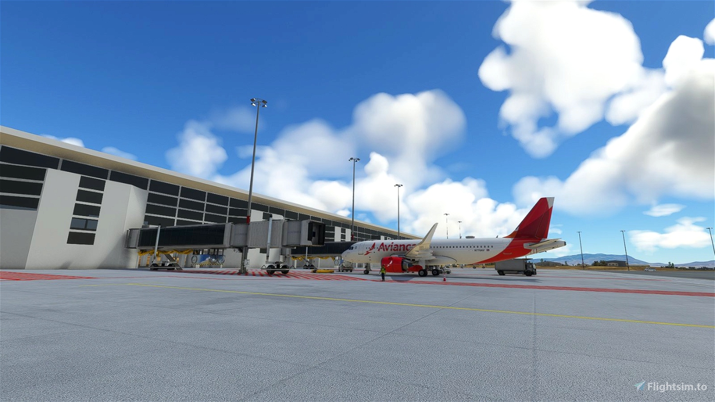
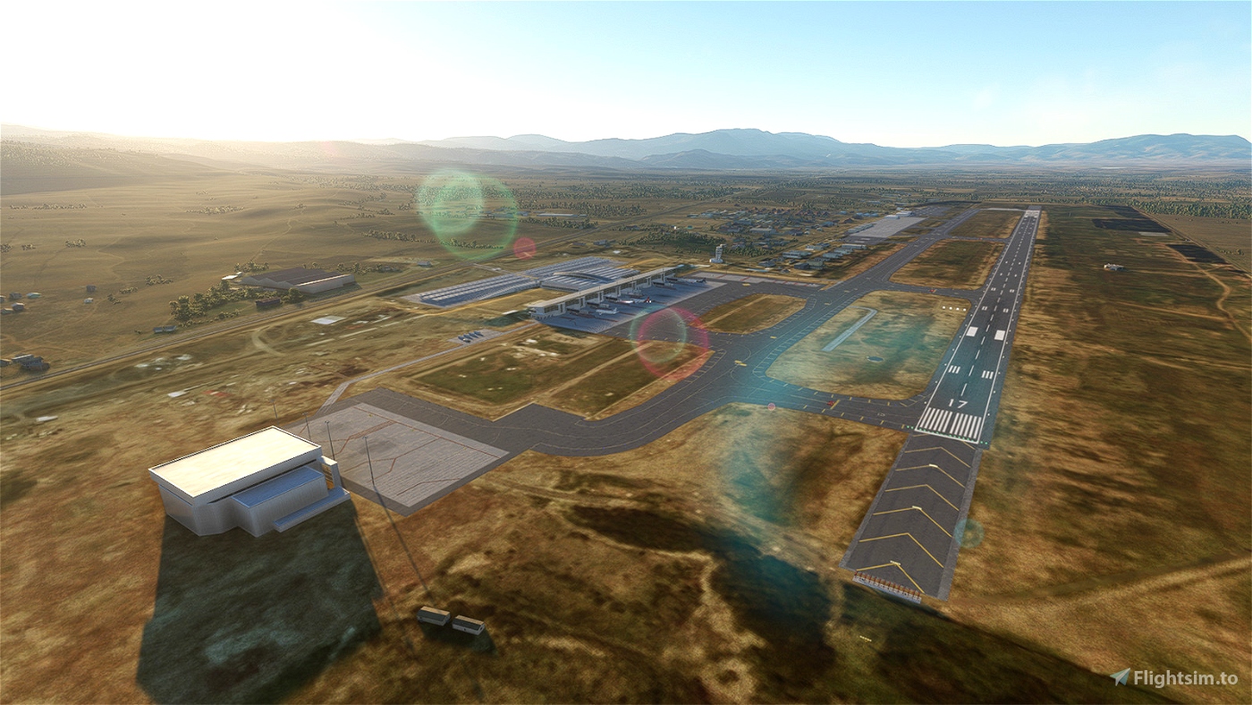
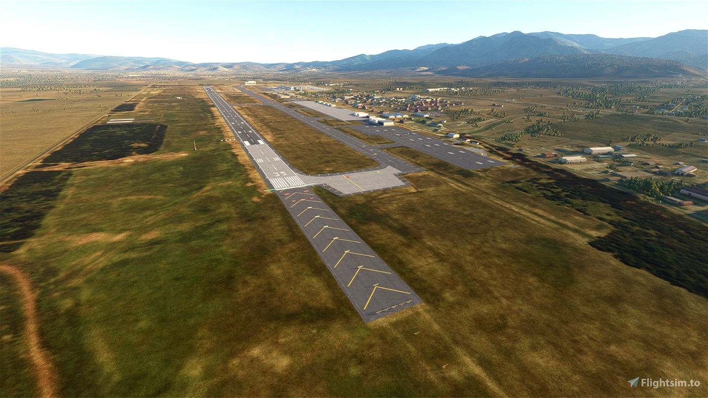

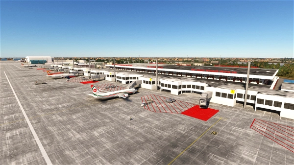
Toncontin International Airport was once the busiest airport in Honduras, but it is famous for its "epic" challenging approach, and the capacity is very limited. As a replacement of Toncontin Airport to serve mainline flights for Tegucigalpa, the former Soto Cano Air Base (MHSC) is converted into an international airport by adding a civilian apron and developed the corresponding instrument procedures. The runway is replaced with precise position, orientation and vertical profile so that it works well with the RNAV approaches. A simple handcrafted terminal is made.
By observing aerial images, ILS has been installed for Runway 35 but not yet documented. However, I have already added it to the airport with arbitrary assigned ident and frequency (IPR/110.0). It will be updated when the real settings have been documented.
Known issues and limitations:
- the ICAO code of the airport may still displayed as MHSC for G1000 displays
- gate 3 and 4 are fake as the sim couldn't handle overlapped parking spaces properly
- gate 4A (the only gate for wide-bodies) is displayed as gate 4
Now the navdata and the scenery have been separated. Just delete the file "navdata.bgl" if you have subscribed 3rd party global navdata from vendors like Navigraph to prevent conflicts. Also check here if you experience the very common "double runway" issue:
https://www.youtube.com/watch?v=JzOTMAh7wIw
https://forum.navigraph.com/t/vnpr-duplicate-runway/11466
--
Welcome to subscribe my channels for MSFS live game-play:
https://www.youtube.com/channel/UC21efZOlIujoYpzzCGoiYfQ
https://www.twitch.tv/kychungdotcom
 kychungdotcom
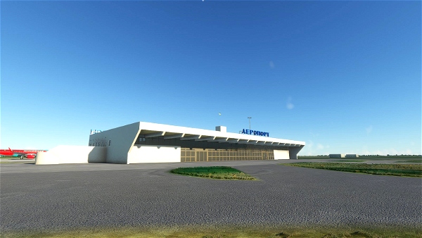


Snoopy7412
DenisMP
Muchisimas gracias amigo, hermoso trabajo, bendiciones por siempre
18conejoST
I wanna share some comments about the update,
1) The lines on both thresholds are double , the windsocks as well
2)The cars are moving through the apron, like if it is a highway there
kychungdotcom author
I've just uploaded a new version, while the redundant windsocks have been removed. For the problem of foreign cars driving through the apron, the reason is that there was a highway driving through the current main apron of the airport when it was still the Soto Cano Airbase. There was solution provided by MSFS SDK to remove the roads, but it seems that it doesn't really work. For the problem of double overlapping runways, I guess you may have subscribed Navigraph, you may follow the discussions here and see if it solves your problem:
https://forum.navigraph.com/t/faq-double-scenery-elements/2797
2 years ago
Jqro
Could you star it on the map to remember to fly here?
Tarval
Gracias por compartir!
PUA687
Thanks
18conejoST
i've Updated it and i have to say it is breathtaking thanks a lot , btw i have to ask you cuz i saw on your photos you have the VOR, should i need any specific scenery ? and btw i am not getting CTDS
kychungdotcom author
No need, it comes from the official Japan World Update
2 years ago
Gdo21
I get CTD when selecting Palmerola as departure airport. anyone else got this problem?
kychungdotcom author
Is it happened just after you have been updated your sim to 1.22.2? If it is the case, restart your computer may resolve the problem.
2 years ago
18conejoST
Bro this is awesome, i was about to record a new video from there, and this is outstanding , the only thing i am not getting is the tower, well is not yet in the real airport but i see you got one in the photo you posted
kychungdotcom author
I see something which looks like a tower at (14.388391397492148, -87.6172962789593) from Google Map, is it?
2 years ago
18conejoST
where do i put the src file?
kychungdotcom author
You don't need it if you are not an addon developer who want to make a more fancy one than this
3 years ago
peacemaker0079
Great addition, thank you for your work! I was just researching the airport for work-related reasons and the next instance I saw your upload. Highly appreciate it!
Just one observation: the numbering of the gates seems off. According to Jeppesen (MHPR/XPL 10-9A 24-DEC-21) the gates are numbered south to north 1 - 2 - 3 - 4A - 4 - 5 - 6 - 7 - 8 with 3 as a slant position and 4A conditional. Same for the Hondurenean AIP (http://www.ahac.gob.hn/AIPMH_AMDT_1521/AIP_2115/Eurocontrol/HONDURAS/2021-12-30-AIRAC/html/eAIP/MAPS/MH_AD-2.MHPR%20APDC.pdf). Perhaps you could amend that to avoid confusion when working with the documentation. Other than that, all worked perfectly as it should.
kychungdotcom author
Thanks for your update, it will be modified at the next release. The apron layout for this version is just guess from jetway positions
3 years ago