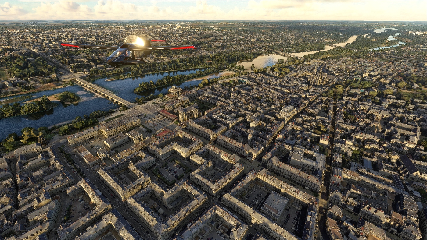
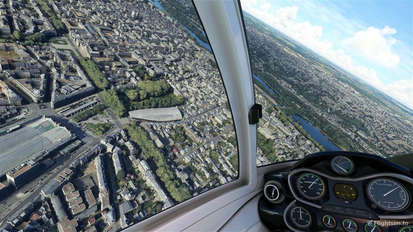
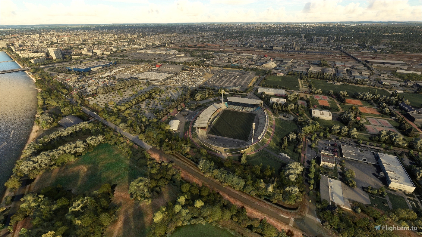
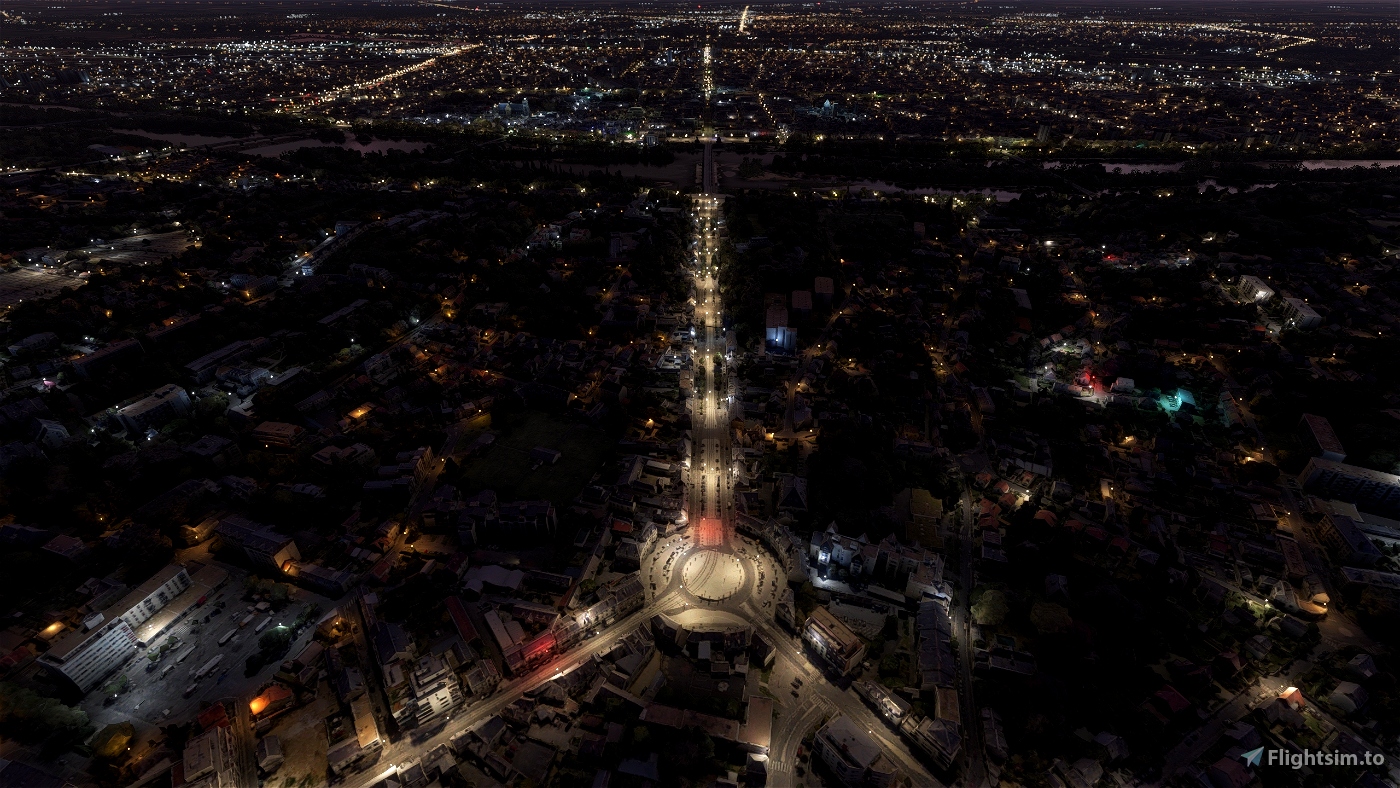

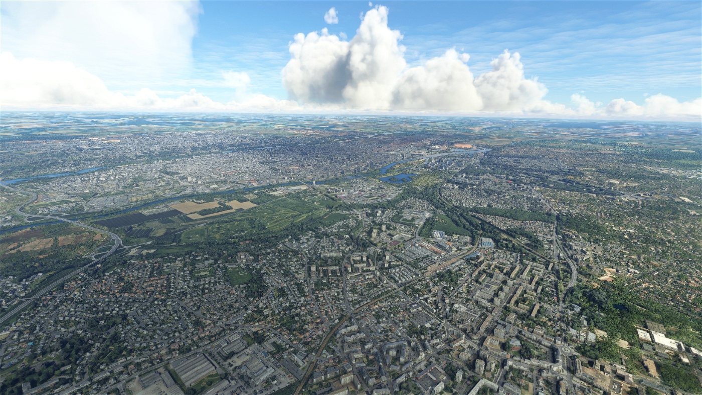

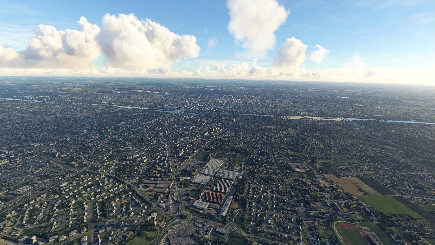
Tours is the prefecture of the Indre-et-Loire department and largest city in the Centre-Val de Loire region of Western France, although it is not the regional prefecture, which is the region's second-largest city, Orléans. In 2012, the commune of Tours had 135,787 inhabitants; the population of the whole metropolitan area was 495,379.
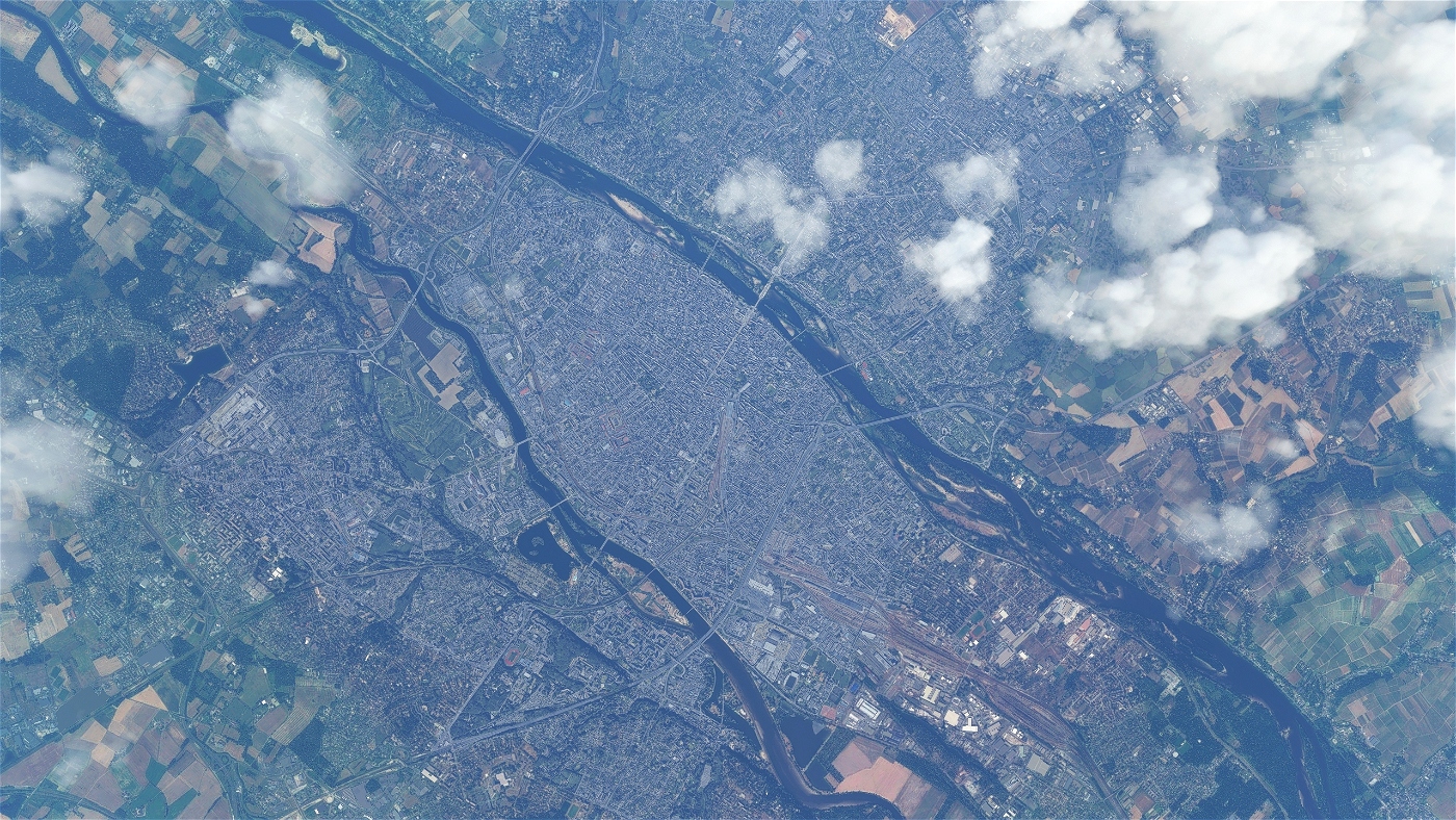
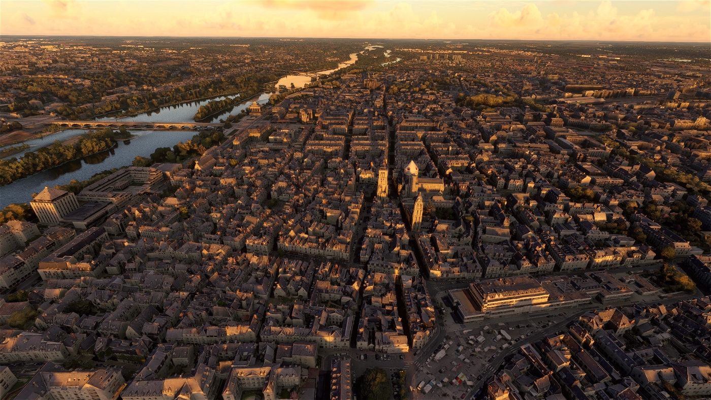
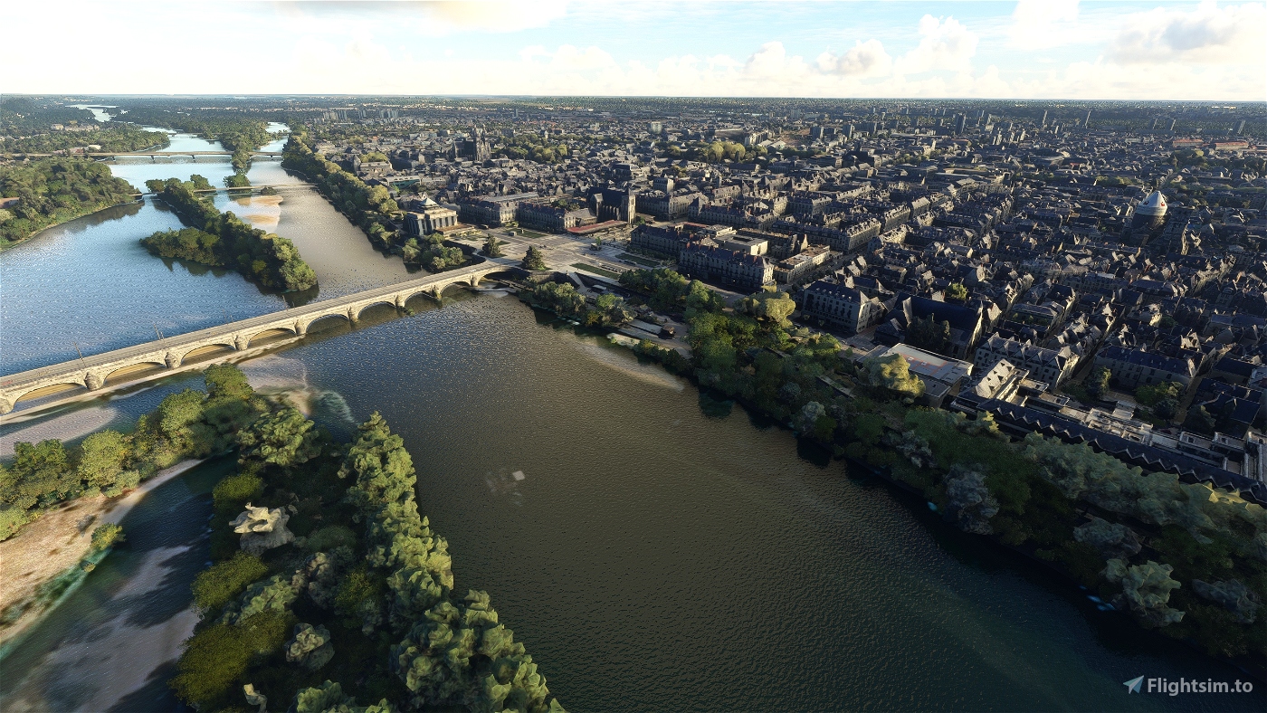
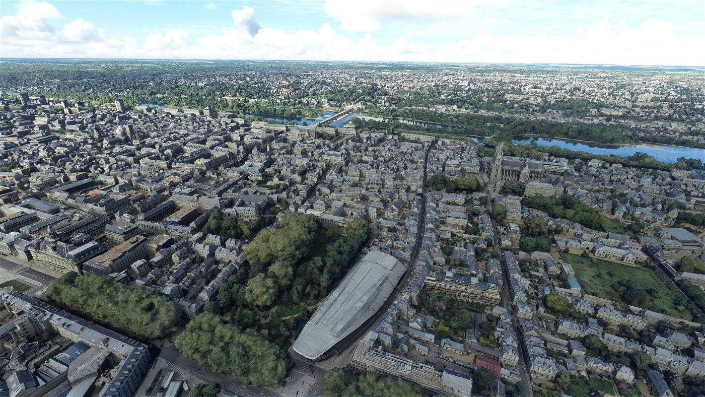
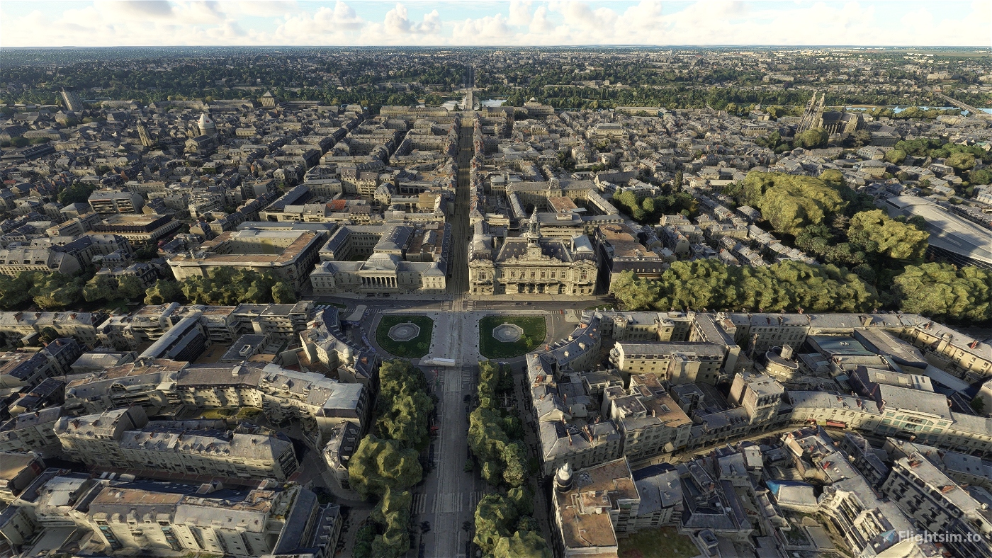
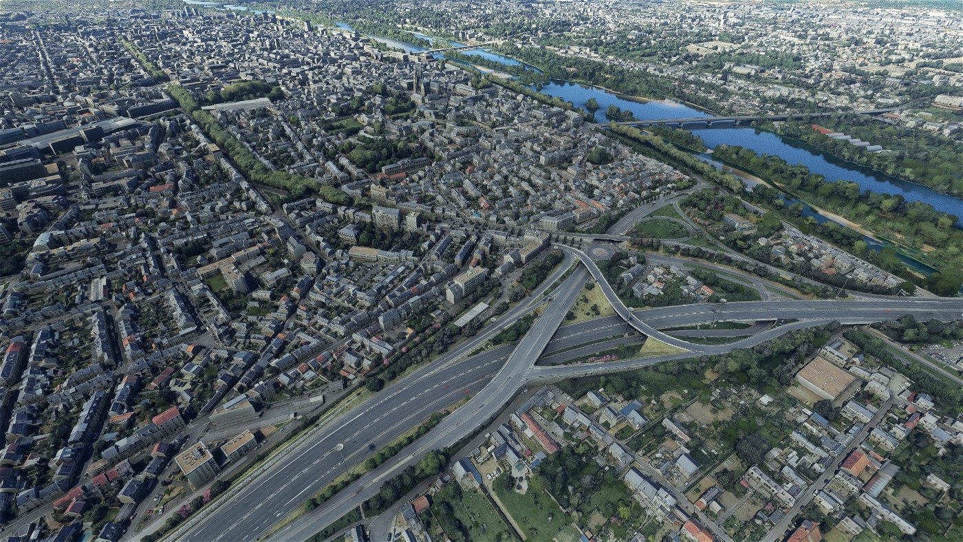
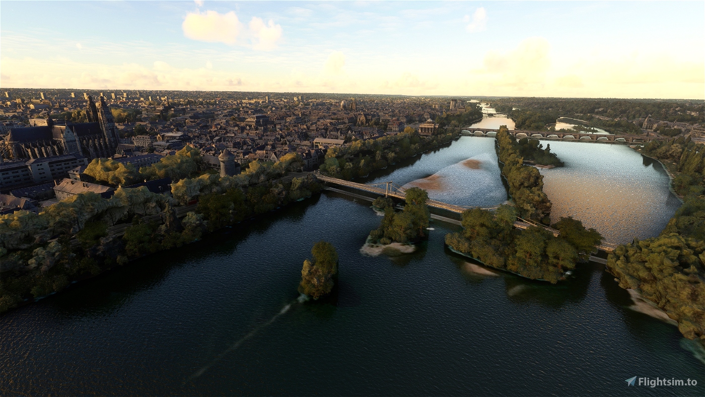
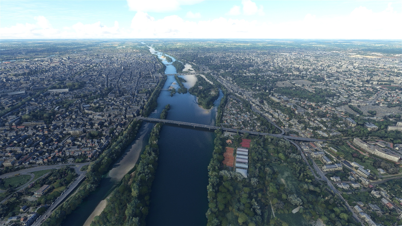
Tours stands on the lower reaches of the Loire river, between Orléans and the Atlantic coast. Former Caesarodunum city of the Turones, founded by the Emperor Augustus, it posses one of the largest amphitheaters of the Roman Empire. Known for the Battle of Tours (732), it is a National Sanctuary with Saint Martin, Gregory of Tours and Alcuin under the Merovingians and the Carolingians, with the adoption by the Capetians of the local currency the Livre tournois which became the currency of the kingdom. Capital of the county of Tours which became the Touraine, the garden of France. First city of the silk industry, wanted by Louis XI, royal capital under the Valois Kings with its Loire castles and city of art with the School of Tours. Capital of loyalty during the French Wars of Religion and city of retreat in June 1940 which will lead it to be partly destroyed.
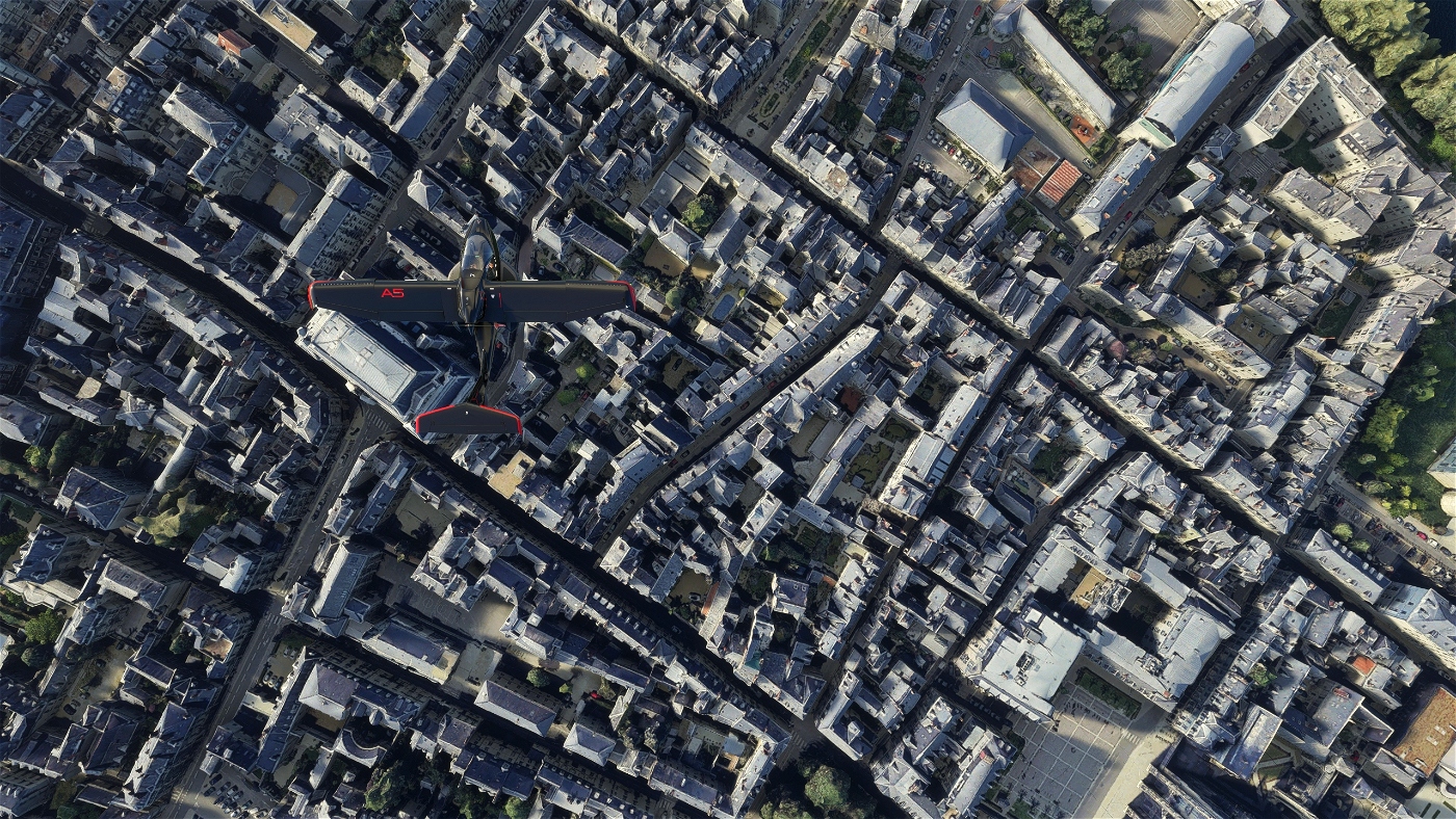
The White and Blue city keeps nevertheless a historical center registered in the UNESCO and city of art and history with its Vieux-Tours, a remarkable patrimonial site. The garden city concentrates a green heritage and an urban landscape strongly influenced by its natural space. The historic city that is nicknamed "Le Petit Paris" and its region by its history and culture, has always been a land of birth or host to many personalities, international sporting events, university city with more than 30,000 students in 2019. Culinary city with its specialities : rillettes, rillons, Touraine vineyards, AOC Sainte-Maure-de-Touraine cheeses and nougats.The city is also the end-point of the annual Paris–Tours cycle race.
GPS: 47° 14′ 36.96″ N, 0° 41′ 21.12″ E
Credits:
This scenery has been extracted from Google Maps, hence all 3D credits goes to Google.
This scenery has been generated with the Google Earth Decoder tool (credits to /u/Jonahex111):
https://www.reddit.com/r/FS2020Creation/comments/j3faaj/google_earth_decoder_now_userfriendly/
Addon history:
v1.0: initial release
v1.1: Fix some texture flickering issues
v2.0: Fix a big issue with the LOD management system, due to the way Google Earth Decoder places and sizes the tiles. Now, there should not be any FPS issues, and framerate should be better and more consistent
v2.1: Add a fix for possible CTD issues ( https://flightsim.to/blog/creators-guide-fix-ctd-issues-on-your-scenery )
v2.2: Change LODs settings
v2.3: Fix France VFR compatibility
v2.4:
- Add City landmark
- Slighly reduce package size, by removing unused files
v2.5: reduced package size
v3.0:
- better colorimetry
- add POIs
- fix procedural lightning issues on flat tiles (especially at dusk and dawn)
- add specific colliders to reduce CPU load
- bigger photogrammetry area
- fix some tile positioning
v3.1: fix Blackshark AI buildings exclusion area in Saint-Pierre-des-Corps
Installation:
Remove old thalixte-tours, thalixte-tours2 and thalixte-saintsauveur, or tours, tours2 and saintsauveur folders, if they exist. Extract thalixte-tours folder into the Community folder.
If you want to donate, you will always be welcome to help me continue with more projects and update the existing ones https://paypal.me/Thalixte.

 Thalixte


Xyfury
Fonctionne parfaitement sur la SU9
Tigershark85000
Bonjour,
merci pour cette scene.
Il manques les batiments autogen sur toute une partie de saint pierre des corps qui n'est pas couverte par votre scene. si j'enleve la scene l'autogen revient.
est ce qu'il n'y aurait pas une zone d'exclusion qui irait trop loin?
Thalixte author
Effectivement. Il y a un souci. Je vais corriger. Merci pour le feedback ;-)
3 years ago
zetar
Vivement la prochaine ? 😞
Hypa
Bonjour Thalixte,
Votre réalisation est remarquable.
Aussi j'aimerai savoir si vous avez prévu ou avez l'intention de porter cette "scene" sur XBox ?
Thalixte author
Merci. A vrai dire, je ne sais pas comment je peux le soumettre sur le marketplace. Comme j'utilise Google Earth, pas sur que Microsoft accepte...
3 years ago
TedEdFred
Merci !
TC37
Tests OK la scène est vraiment superbe merci beaucoup 😊
Jujunet
Salut,
J'ai été faire un tour, super travail, les bâtiments sont bien rendus. Par contre j'ai des arbres vert clair qui apparaissent comme des masses difformes avec de gros polygones (ex en bord de Loire près de la bibliothèque François Mitterand). Que puis-je faire pour corriger ça ? Sinon j'ai un bug au niveau de la Loire fait un gros dénivellé à côté du pont de la rocade.
paul37
Xyfury
Il n'y aurait pas une façon de faire un compromis en n'installant qu'un morceaux par exemple?
Thalixte author
3 years ago
MAX37
comolas
Thalixte author
4 years ago
MAX37
Thalixte author
4 years ago
Pistolero667
Impatient de voir tes futures réalisations! Tu as prévu quelles villes pour la suite ? A moins que c'est top secret ? 😉
resZombie76
Bravo à toi et continue comme ça, tes créations déchirent 😉
Thalixte author
4 years ago
cunnind
Je suis anglais mais je vis dans le Berry. Quand j'organisais ma Nationalisation au Français, je devais visiter la préfecture pour tester mes compétences linguistiques, etc. Je vais chercher les éléments que je connais.