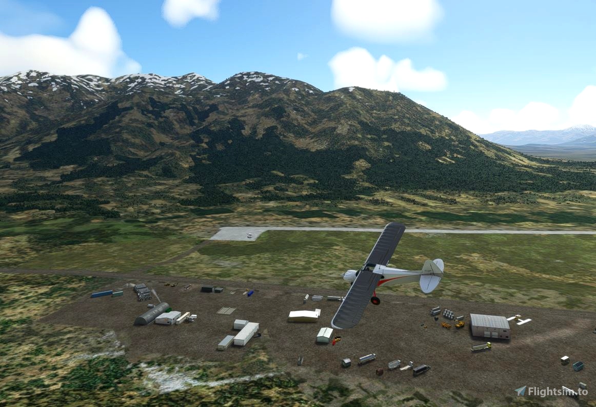
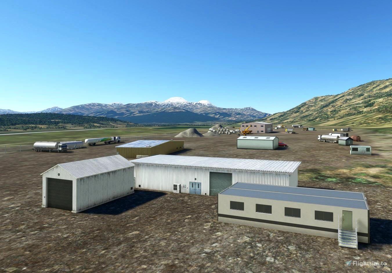
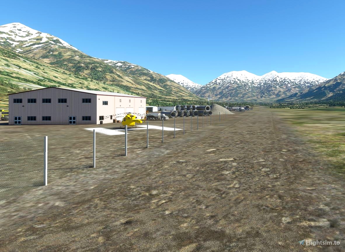
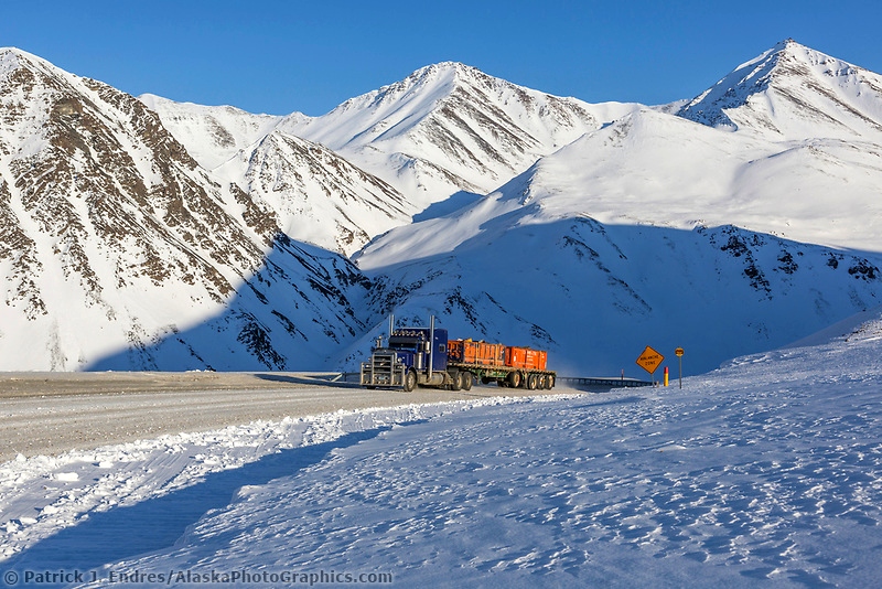
Chandalar Shelf Camp is the sixth of the 10 airstrips built along the 400 mile Haul Road. The camp here was built to support construction of the highway and the North Slope pipleine. The mostly gravel road is one of the northern most roads in the US. It is also one of the most dangerous roads to drive and was featured in the TV series "Ice Roads".
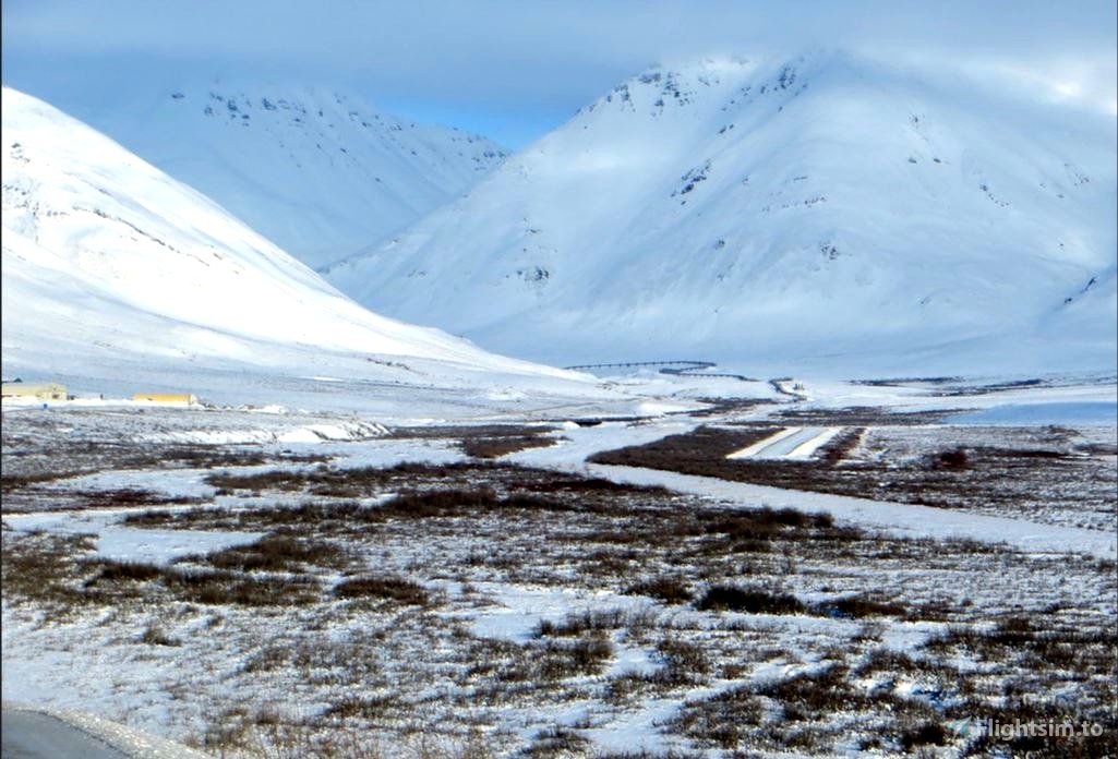
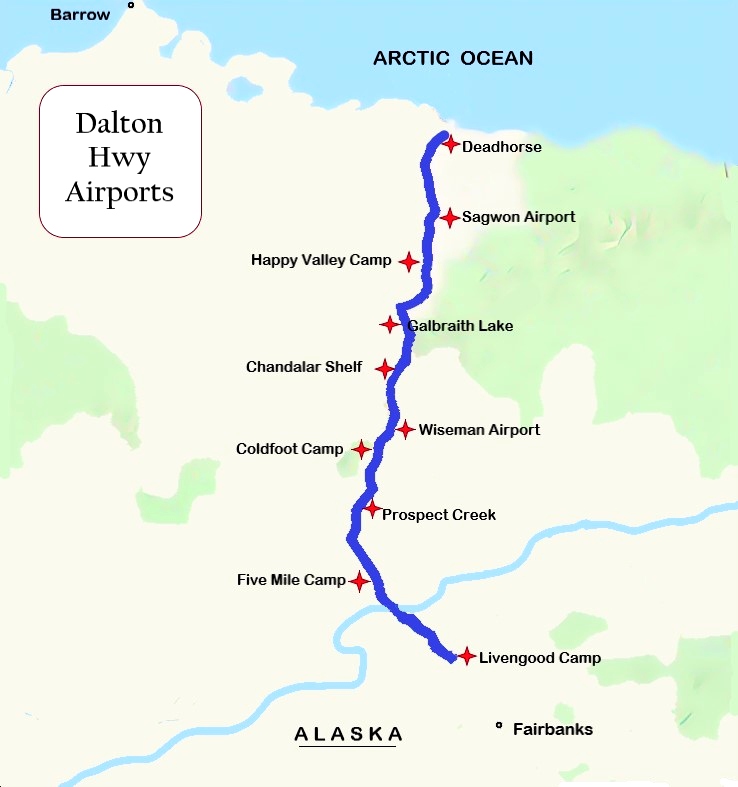
Air strips were needed along the route to support the pipeline construction camps. (See map.) The airstrip is located at the foot of the infamous Atigun Pass, elev. 4739 ft. (See photo). As you travel over Atigun Pass, you are going over the Continental Divide. Rivers to the north empty into the Arctic Ocean, while rivers to the south empty into the Bering Sea. North of the Atigun Pass, permafrost grows deeper (over 2,000 feet in the Prudhoe Bay area) and is present almost everywhere. South of the pass, permafrost areas become thinner and less prevalent. Watch for Dall sheep on the mountain sides around Atigun Pass
Chandalar Shelf Camp is 237 miles north of Livengood Camp. An easy way to fly the Dalton VFR is just follow the higway!
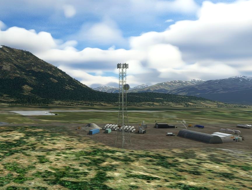
This airport (5CD) was missing from the sim, but here it is:
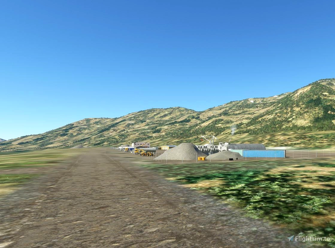
Dimensions: 2600 x 70 feet / 792 x 21 meters
Surface: Gravel in Good Condition
Runway 01 Runway 19
Coordinates: 68.0654394, -149.5797392
Elevation: 3000
Installation:
Copy the tn-airport-5cd-chandalar-shelf folder inside of the zip file into your MSFS Community folder.
Many thanks to the creators of the Required and Recommended libraries. If you have not previously installed these libraries in your Community folder, some objects may not be visible in your sim. Remember, you only have to install these one time. Also, go to the sim marketplace and download the free UK2000 Scenery Common Library. All Microsoft World Updates should be installed also.
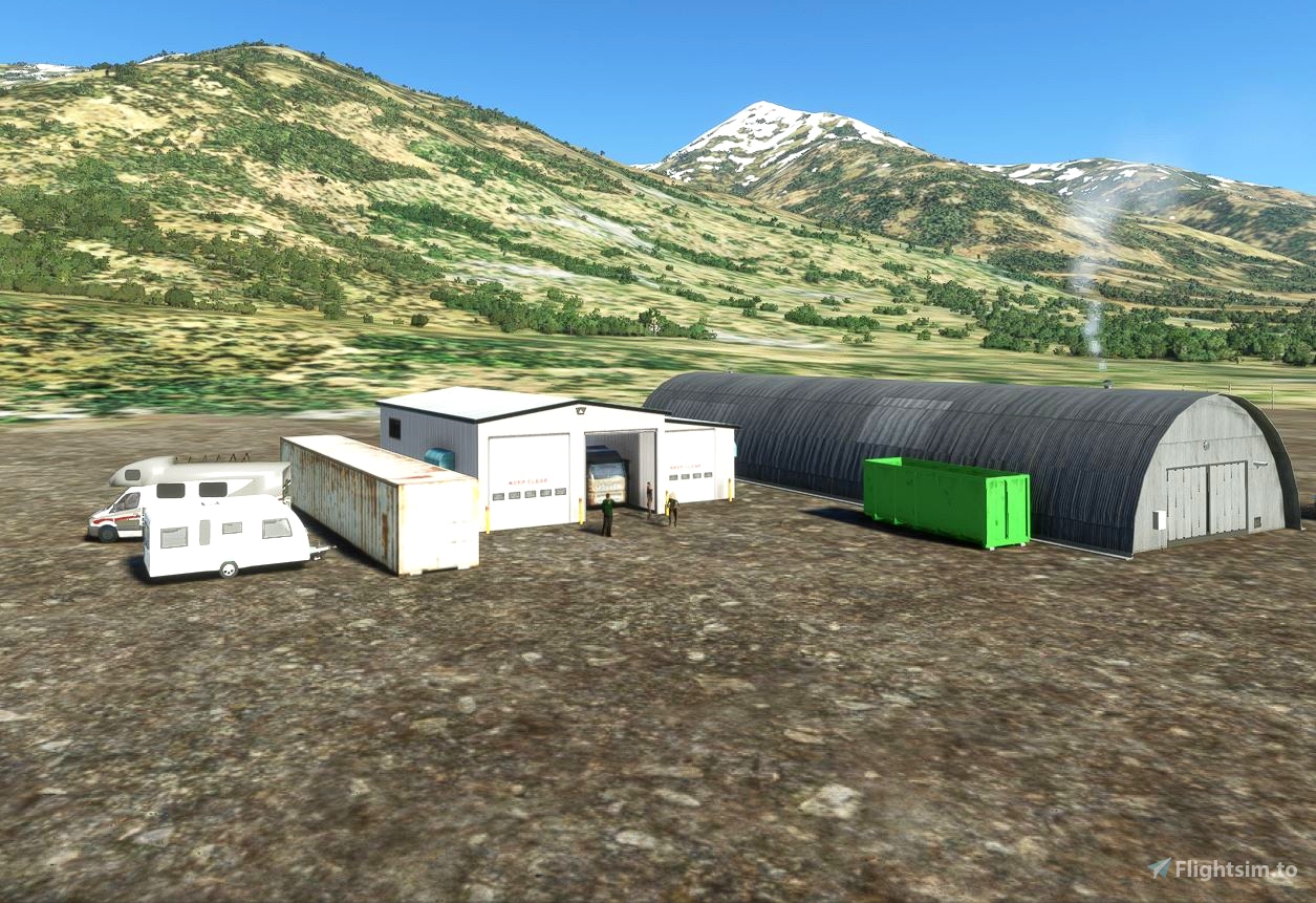
Easter Egg is installed.

 55tom55

