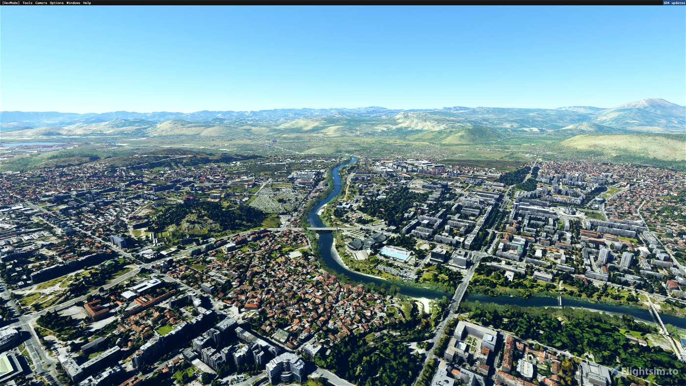
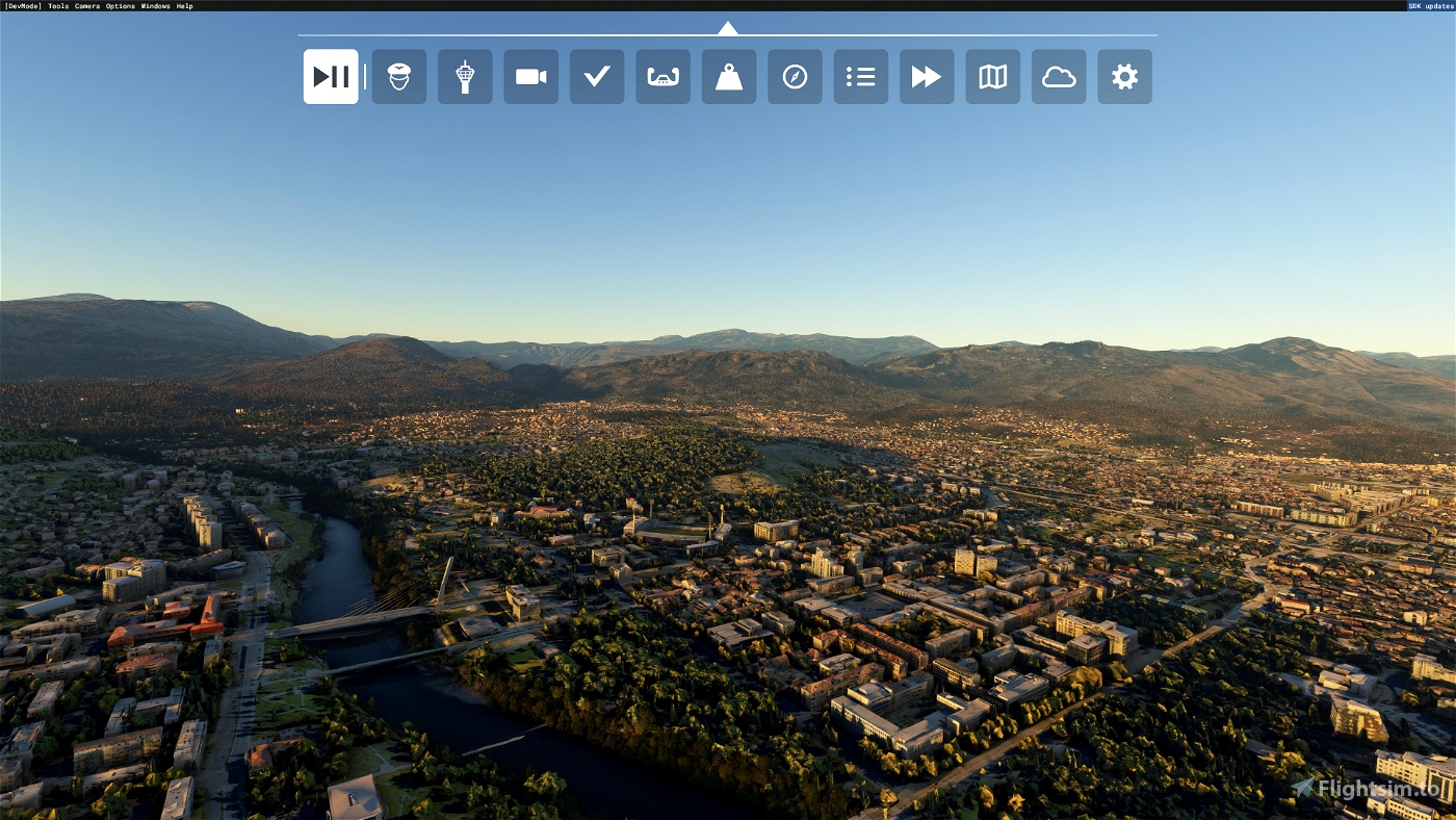
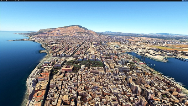
Podgorica is the capital and largest city of Montenegro.
The city was known as Titograd between 1946 and 1992—in the period that Montenegro formed, as the Socialist Republic of Montenegro, part of the Socialist Federal Republic of Yugoslavia (SFRY)—in honour of Marshal Josip Broz Tito.
Podgorica's favourable position at the confluence of the Ribnica and Morača rivers and at the meeting-point of the fertile Zeta Plain and Bjelopavlići Valley has encouraged settlement. The city is close to winter skiing centers in the north and to seaside resorts on the Adriatic Sea. Podgorica is home to approximately 30% of the country's population. It is also the nation's administrative center and its economic, cultural, and educational focus.
Many thanks:
- Jonah Hex 111 for Google Earth Decoder
- Thalixte for Google Earth Decoder optimization tools
Clean weather, good flight!

 Vizipok


Sloppypuppet540
danilo081
Hello
Thanks for your effort 😊
BUT !!!!
textures are WAY to dark
You exluded lights on Major part of the city.
https://ibb.co/Z2FhtHJ
On this pictures you will see MY Import of one part od the city whitch have unutched google textures. [i did not even exlude vegetation 😊 it looks better 😊 ]
https://ibb.co/44RcfZg
https://ibb.co/bX04td1
Tiles are visible , very visible, with your textures. Try to edit model , that boudaries will be logical, using roads, fields hills ... etc that waw you will hide visible boundaries between your scenery and original ground.
Vizipok author
Dear danilo081!
Thank you for the advices!
Best regards: Imre
2 years ago
harpsi
Very good. The only problem is the colour doesn't match with the default one and we can easily find where default starts and ends. Maybe for a future update 😉
Vizipok author
2 years ago
laszlobarki
MANY THANKS!! Genious Vizipok competed Podgorica, as also the airport is awailable as Payware. It will be always a pleasure to visit our friends in Montenegro virtually 😊