Version 1.2.0 updates ICAO codes to work with the MSFS changes in WU13.
WU13 included 15 new airstrips in PNG, and 132 changes of ident (ICAO) for PNG/western New Guinea airstrips. I previously used the ident (ICAO code) AYWG for my Wangeto custom airstrip; but with WU13, the AYWG code is now used for Wanigela airstrip, on the coast of Oro province, which used to have code WGL. I now use code WGLO for Wangeto. Also, I previously used the code AYMZ for Mangamanau airstrip in the Jimi valley, north of Mount Hagen; that code is now used in MSFS for the new Mapua airstrip on the island of Tatau, off New Ireland. I now use code AYMX for Mangamanau. The code for Munbil has also changed from LNF to AYYM.
= = =
Twelve bush strips in Papua New Guinea. Three (AYER Erume, DAO Dabo, AYYM Munbil) are custom versions of airstrips in default MSFS; the other nine (AYMX Mangamanau, AYNH Nahu, AYQP Menjim, GORG Gorgiok, MJJ Moki, TAZO Tazon, AYWY Waro, WGLO Wangeto, AYZZ Zuebak) are additional bush strips. Five are in the Finisterre/Saruwaged Range in Madang and Morobe provinces.
If you already have any of the below mods installed, please delete them from your community folder as they have now been merged into this mod:
- wantok-airport-ayer-erume
- wantok-airport-ibuk-ibuka (note: I've renamed this airstrip - it's now AYWY Waro)
- wantok-airport-gorg-gorgiok-airstrip
- wantok-airport-mjj-moki
- wantok-airport-lnf-mindiptana
- wantok-airport-tazo-tazon
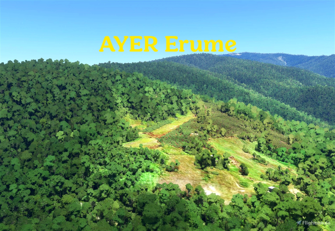
AYER Erume is a simple, short, small bush airstrip in the Goilala area of Central Province, at an elevation of 6550 feet. It's the eighth highest default airstrip in PNG (after Keglsugl, Kerau, Kairik, Tep Tep, Isan, Bambu and Ialibu).
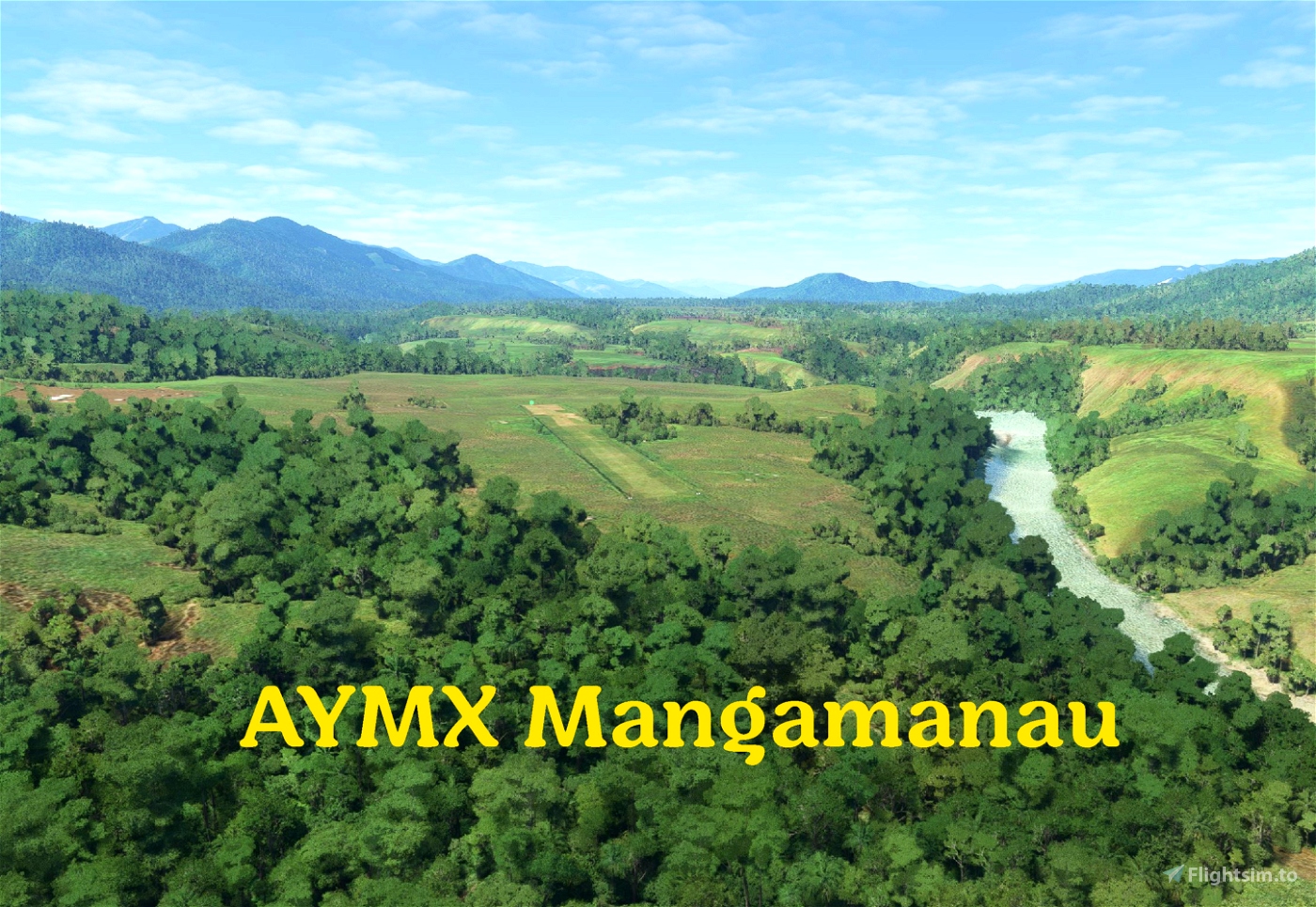
AYMX Mangamanau is in Enga Province. It lies in a fairly flat area at an elevation of 1039' at the lowest point of the Jimi valley, upstream of Yambaitok.
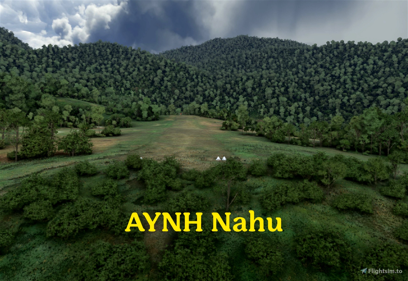
AYNH Nahu is at 7016' elevation in a rugged valley on the south side of the Finisterre Range, Madang province.
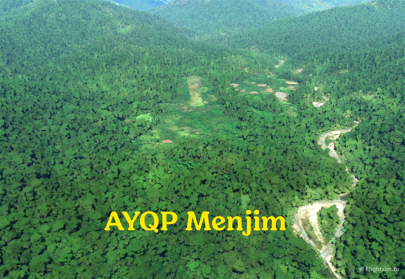
AYQP Menjim is at an elevation of 1899' on the southern slopes of the Jimi valley, not far from AYMH Mount Hagen.
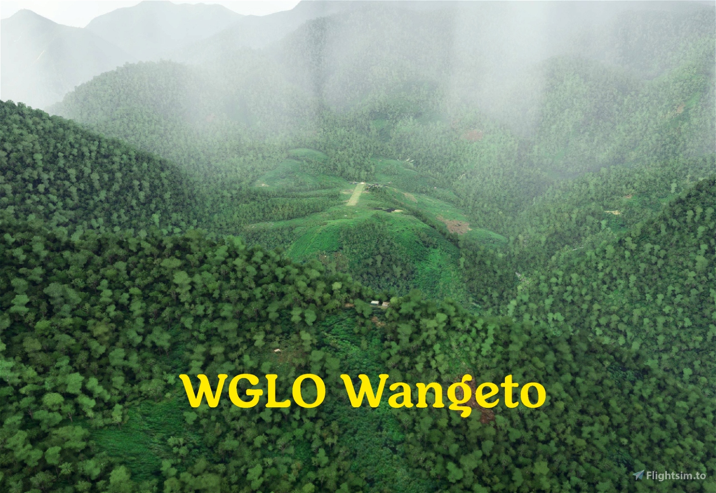
WGLO Wangeto is at 4200' elevation in a valley on the northern side of the Finisterre Range, Madang Province, quite close to AYGH Guhu. The 1800' runway is gently sloping. This airstrip still has default buildings; I'll add better buildings later.
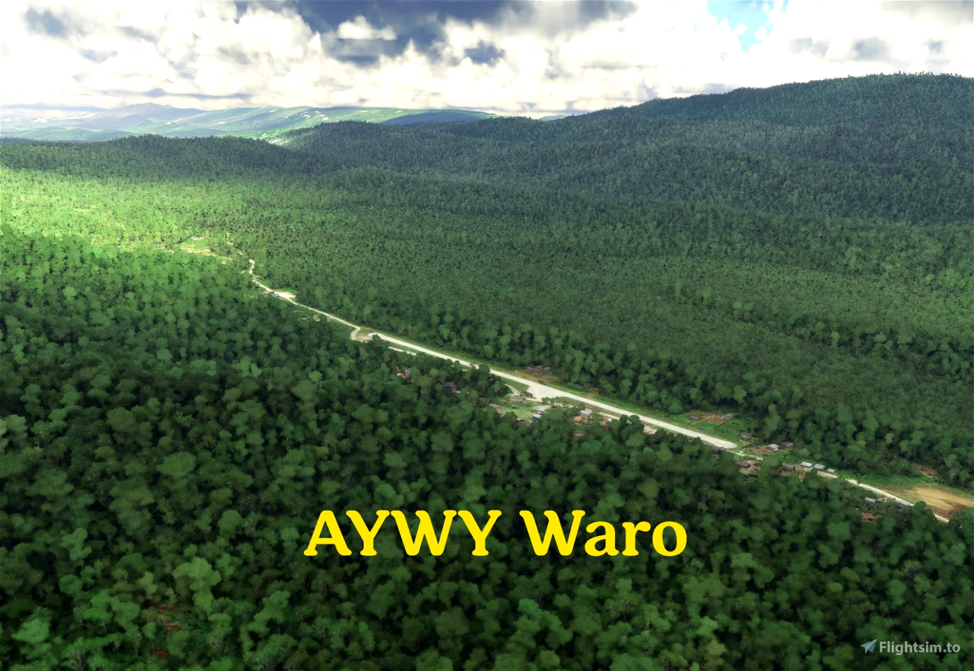
AYWY Waro is a flat airstrip in Southern Highlands Province lying in one of the east-west valleys that rise from the flat Gulf Province plain to the highlands. At 1500' elevation, the runway is 2575 feet long. It is 10nm south of AYMR Moro. I previously named this IBUK Ibuka, as it's close to Ibuka village, but I've since learned that the airstrip is actually AYWY Waro. I left the default autogen buildings, mostly, because this village is a little unlike most others in PNG in that it is connected by road to some major industrial facilities - the various hubs of the Kutubu Oil Project - so many of the buildings in this area are not the typical bush-material village houses.
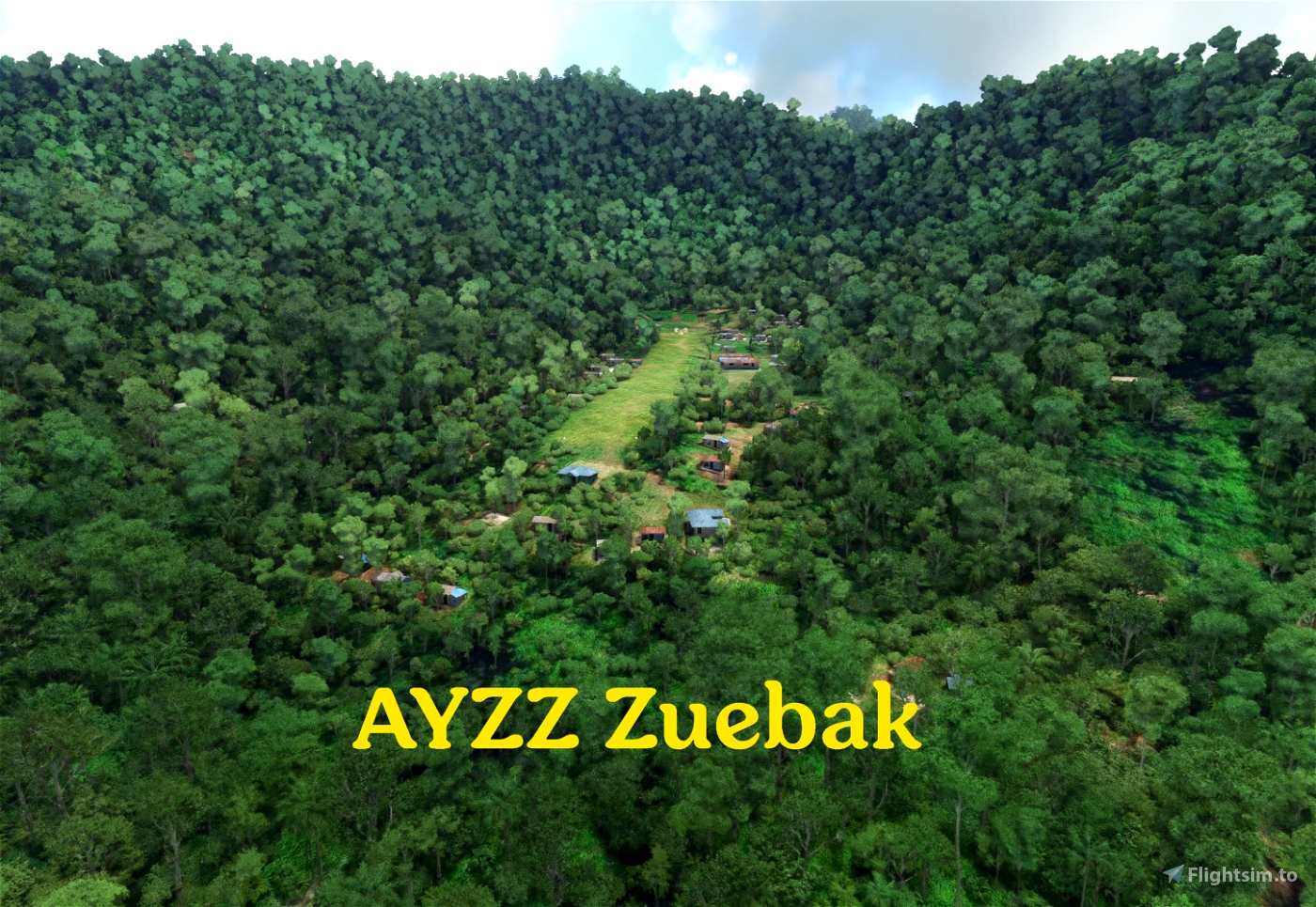
AYZZ Zuebak is in a side valley on the southern side of the Saruwaged Range, Morobe Province, at an elevation of 3400 feet. The sloped runway is 1220 feet long. This can be a challenging approach.
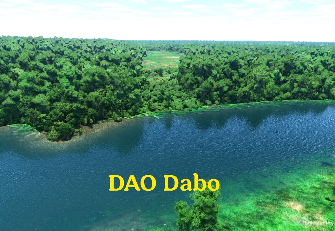
DAO Dabo lies at the base of the main range in Oro (Northern) Province at elevation 120' next to a winding river. The default MSFS runway is completely wrong!
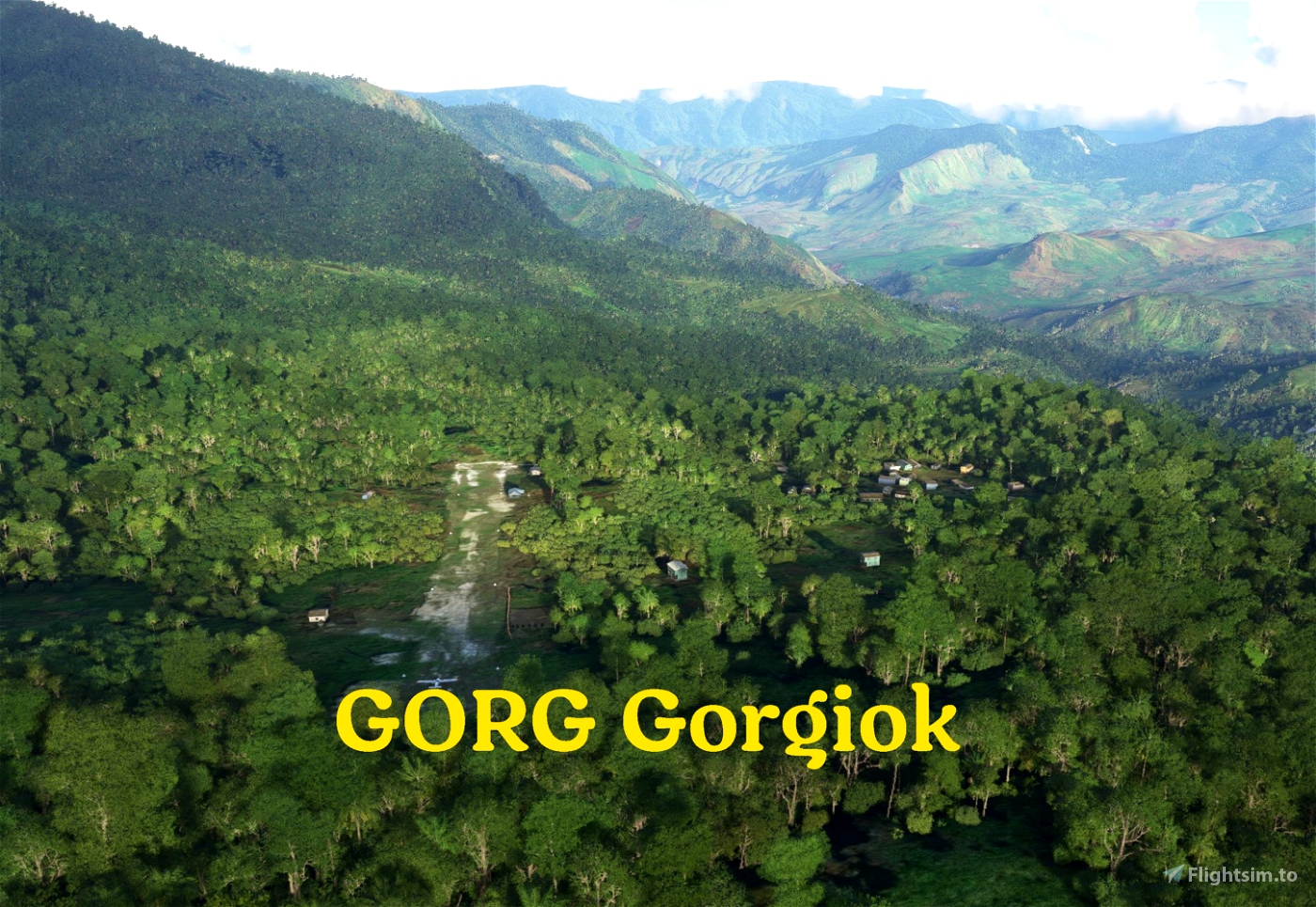
GORG Gorgiok airstrip is nestled high (5900') in an ocean-facing valley in the Saruwaged Range, Morobe Province. Other strips in the valley include AYDN Dinangat and AYUT Bunguwat. It appears to be maintained and in use but doesn't seem to have an ICAO code, so I used GORG.
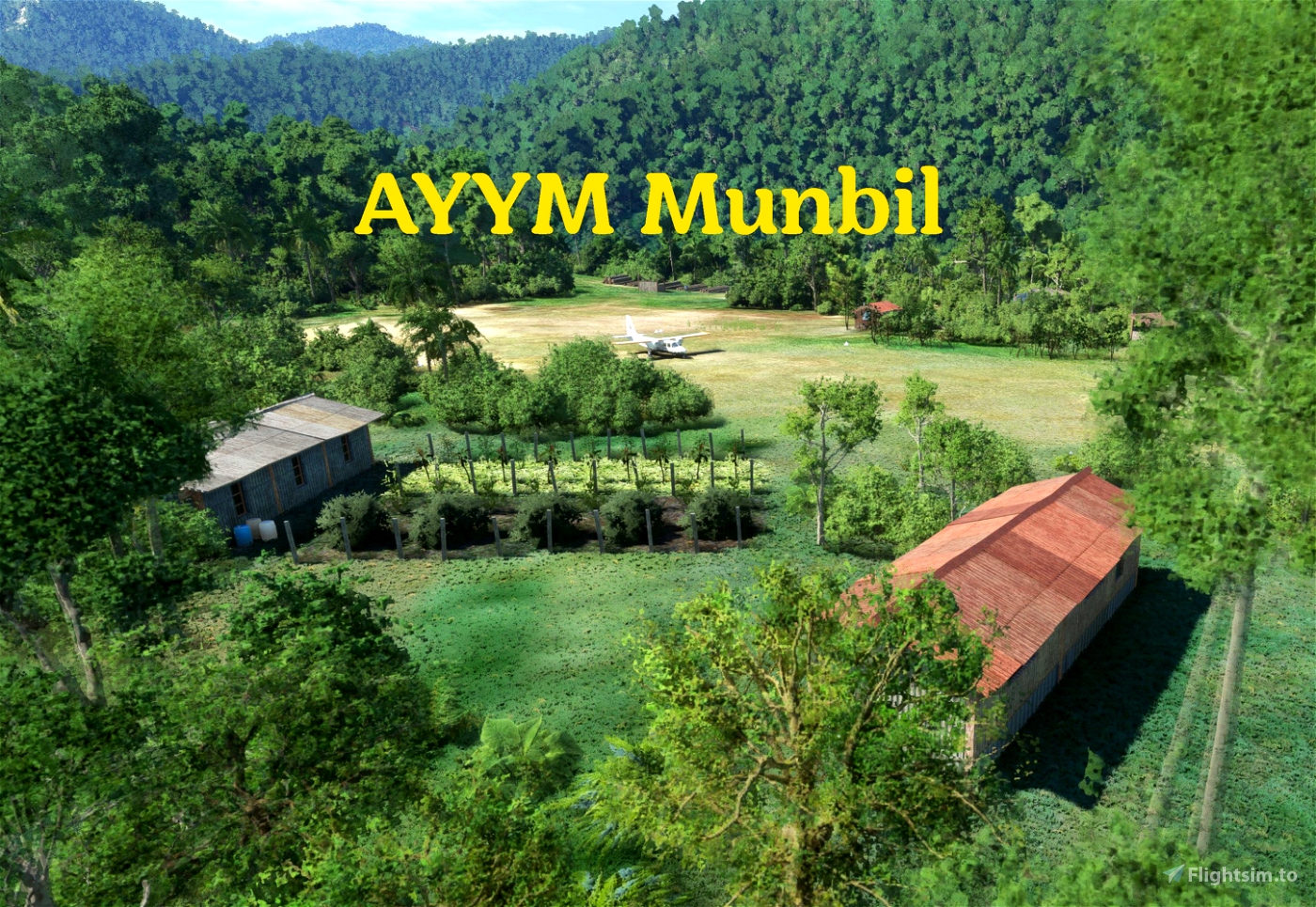
AYYM Munbil serves a tiny village in West Sepik (Sandaun) Province. It lies at 3200 feet elevation in rugged mountainous country, in the foothills of the central Highlands cordillera of New Guinea. A fundraising fly-together event, organised by Bush Divers and Missionary Bush Pilot, and held on 11/12 and 18/19 September 2021, ended at Munbil. Donations from the event went towards solar panels for a new community building in Munbil village, via Missionary Bush Pilot.
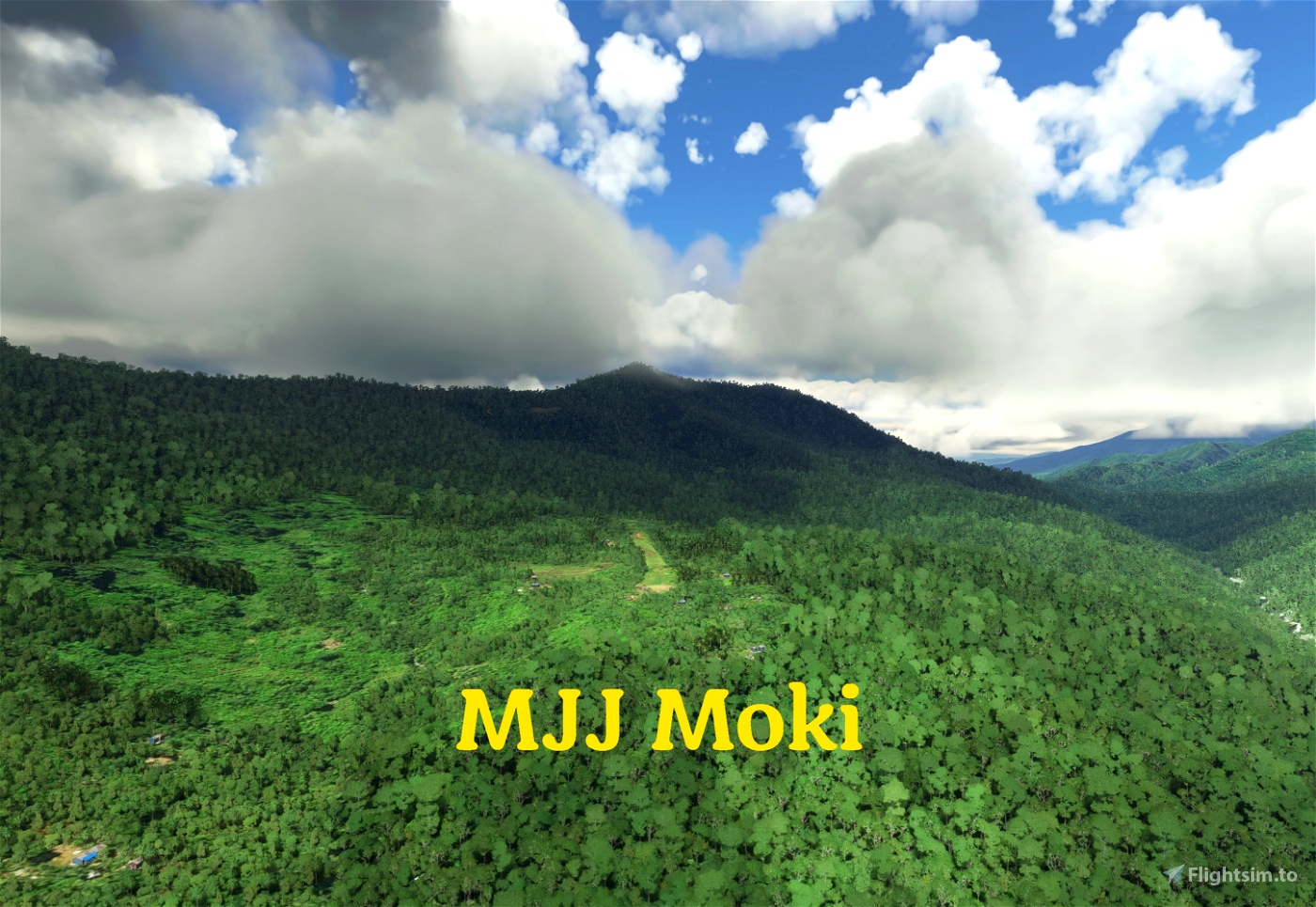
MJJ Moki is a small bush strip in Madang Province. Around 23nm north-west of Goroka, it lies at an elevation of 3000 feet in the foothills of the PNG Highlands. It's really close to BNT Bundi - just across the river on the other side of the valley. You can take off from runway 08 or runway 26, or start in the parking area. If you're lucky enough to get clear skies, you can see the peak of Mount Wilhelm, PNG's highest mountain, to the west.
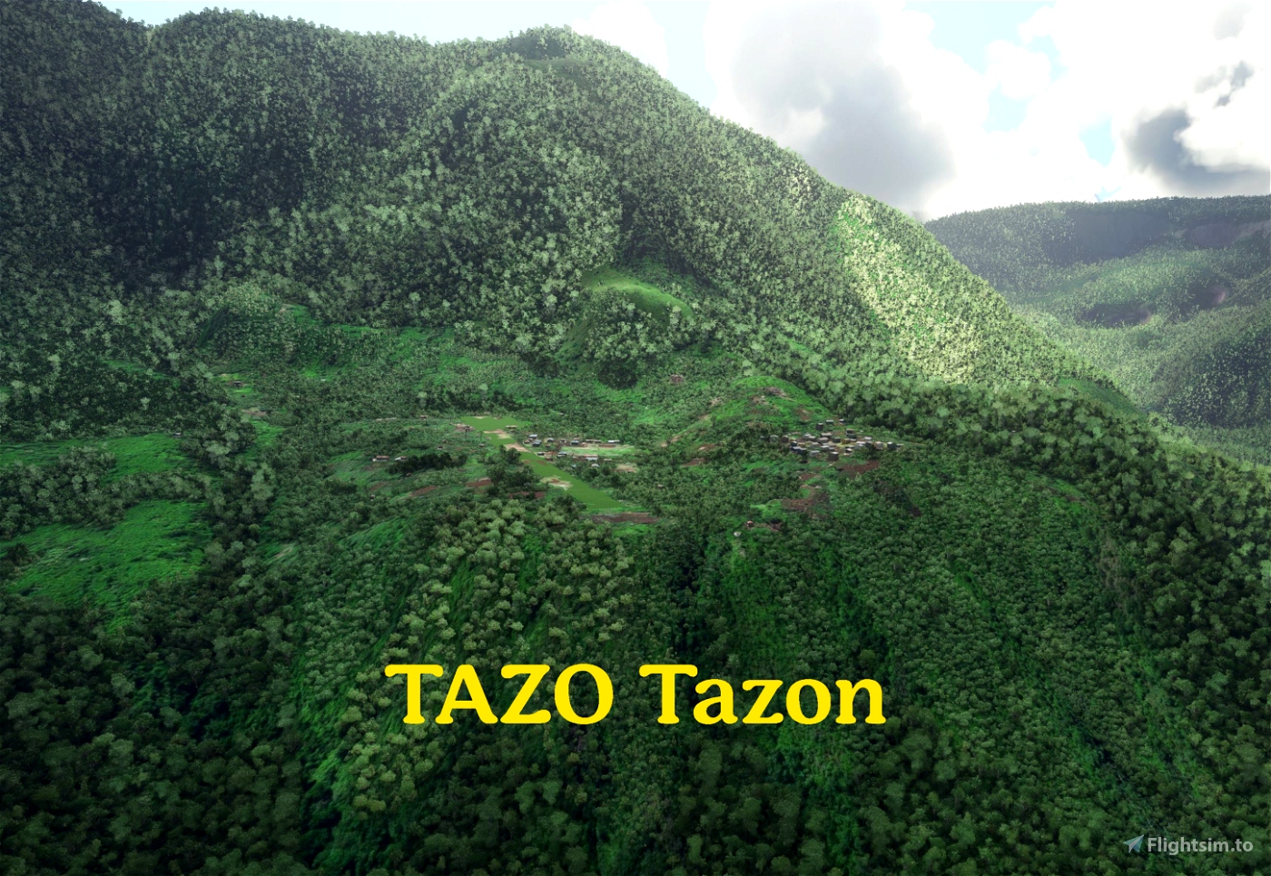
TAZO Tazon airstrip is at 3700' elevation in a spectacular little valley on the northern side of the Finisterre Range, Morobe Province. Further up the valley you will find AYIS Isan and AYTP Tep Tep, two of the highest elevation airstrips in PNG. The airstrip is not in MSFS default, and does not appear to have an ICAO, so I used TAZO. It does appear to be maintained and in active use.
If you enjoy bush flying in PNG, check out Bush Divers.
Hope you enjoy the airstrips. Leave a rating or comment if you can. Thanks to all the people who have bought me a coffee!
This mod is included in my mega mod for PNG and western New Guinea. If you download the mega mod, you can in future just update that single mod to get airfields, airstrip fixes, terrain fixes and more for Papua New Guinea and western New Guinea (Indonesian Papua province and other provinces), instead of having to update multiple mods.
You can then delete my other mods from your flightsim.to downloads list, so you only get notified about updates to the mega mod.

 wantok


lscism
wantok author
10 months ago