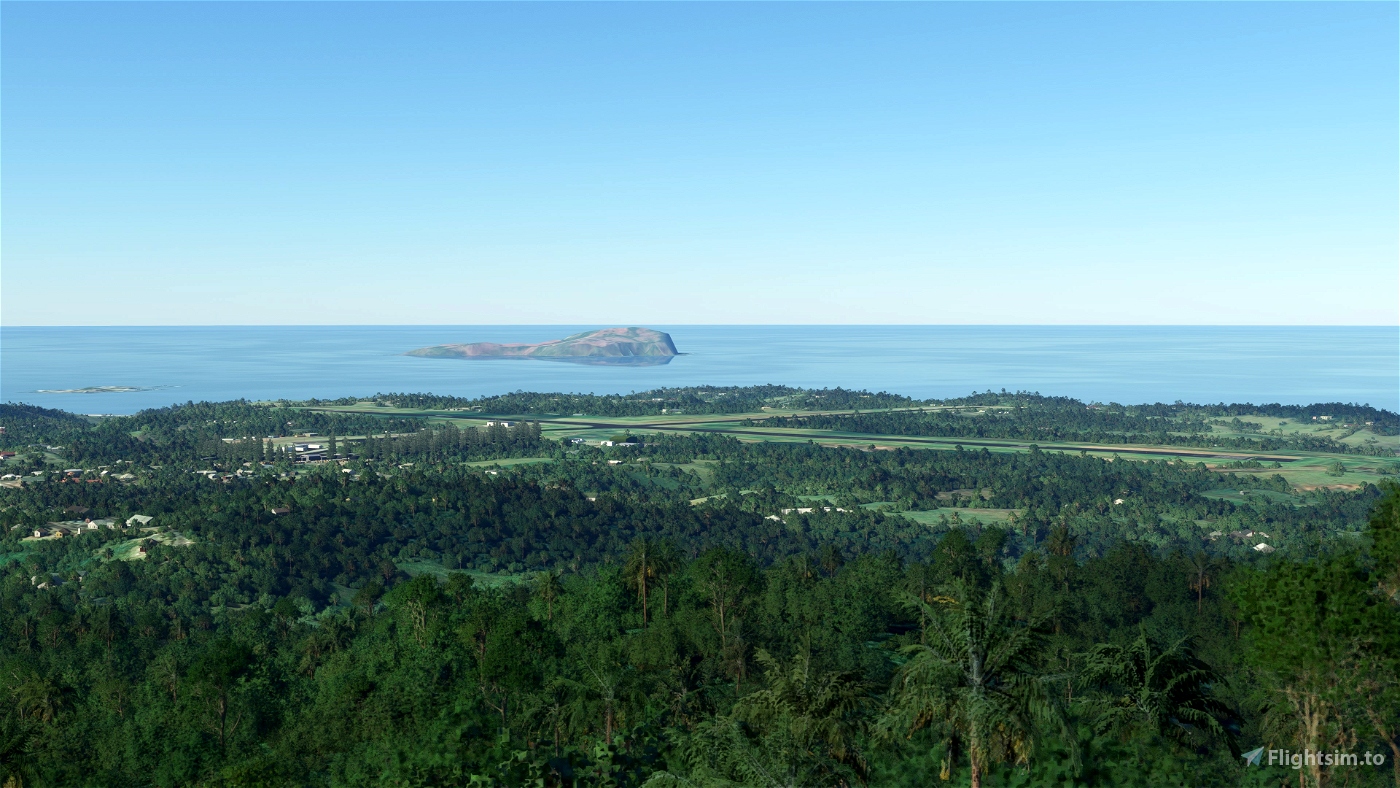
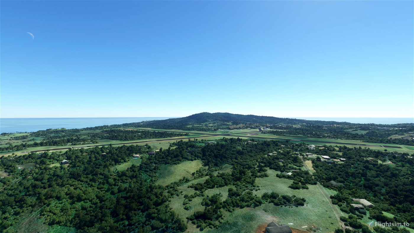
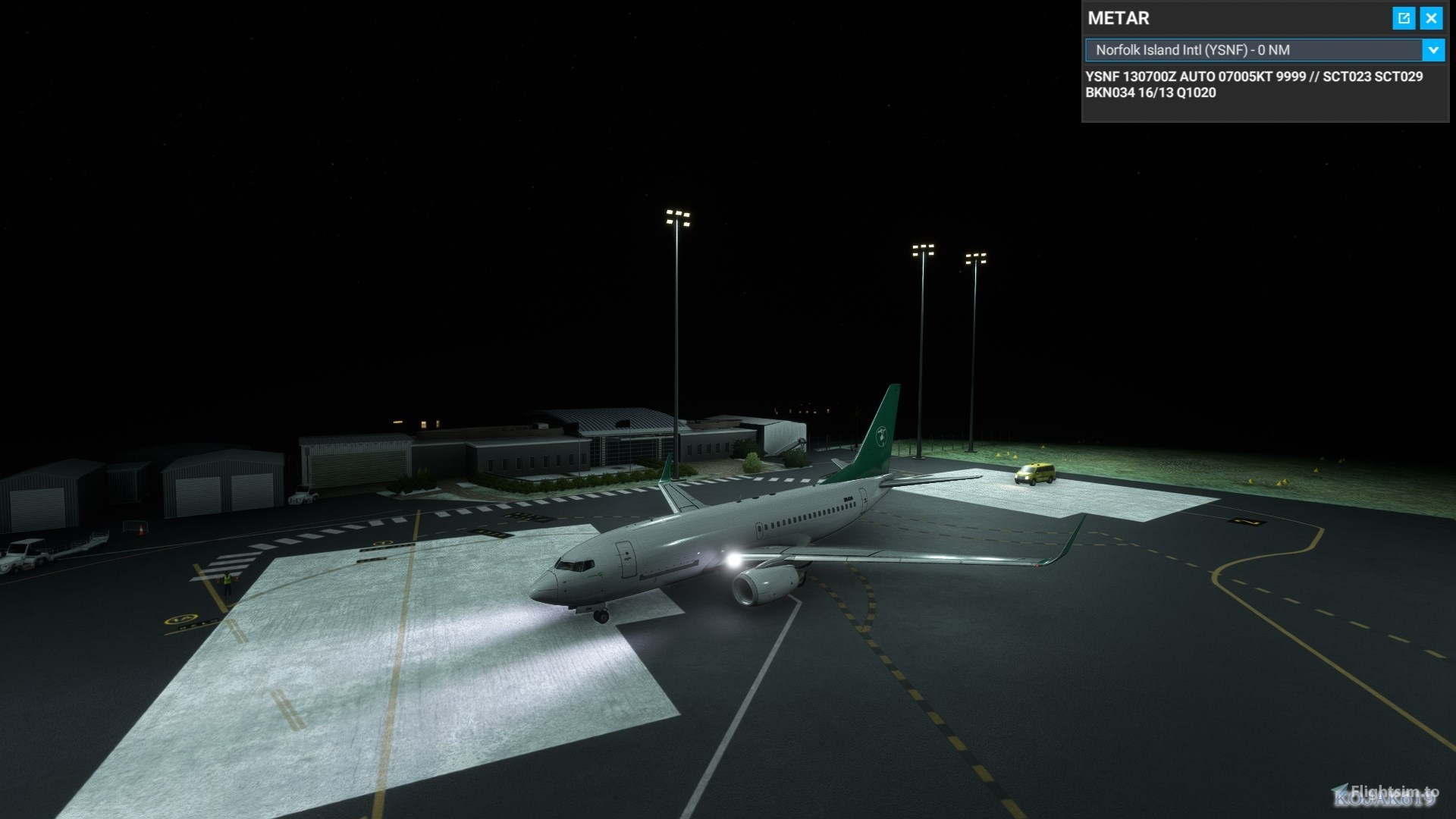
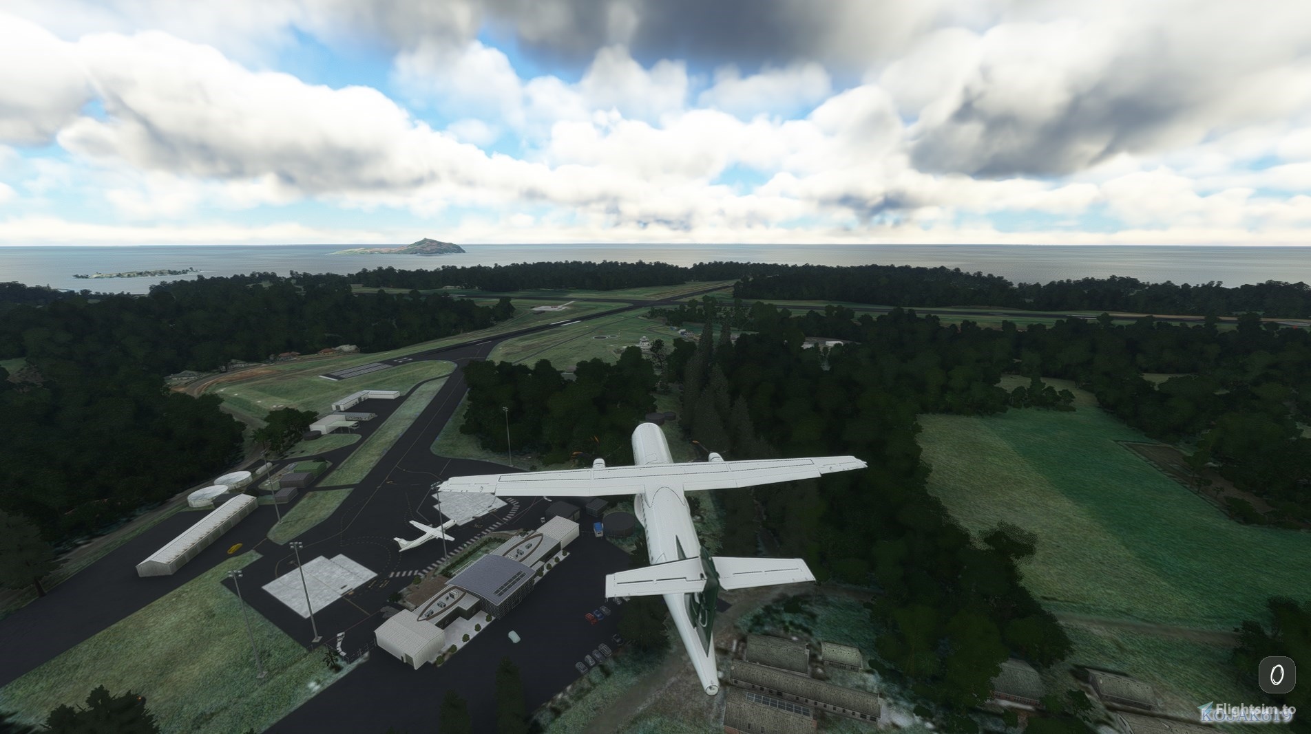
Norfolk Island Airport (YSNF), is located in the Pacific Ocean between Australia, New Zealand and New Caledonia. It's currently serviced by Qantas and Air Chathams for RPT, Toll Group for freight, and RFDS, and Aspen Medical/Avcair for aeromedical retrival and transport. It's utilised by GA as a transit and refueling point when crossing the Tasman.
Norfolk Island is 430nm from Noumea (NWWW), 588nm from Auckland (NZAA), 483nm from Lord Howe Island (YLHI), 791nm from Brisbane (YBBN) and 907nm from Sydney (YSSY).
Please note that this is a work in progress. Any feedback or resource material (photos, videos etc.) are very much appreciated.
Features:
- 5M DEM (elevation data) for Norfolk Island, and surrounding islands (Nepean Island and Flinders Island).
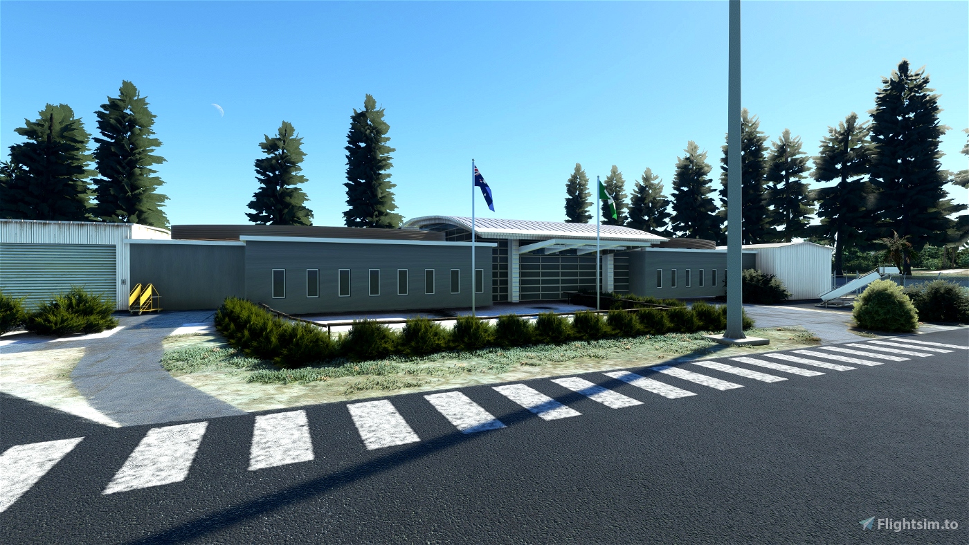
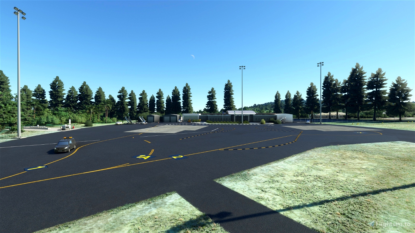
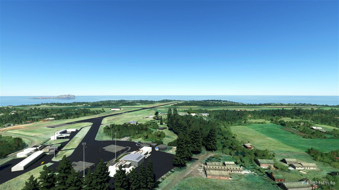
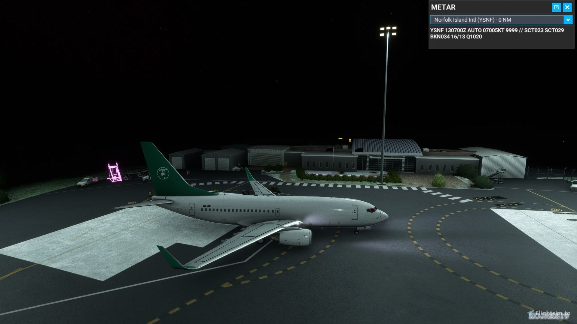
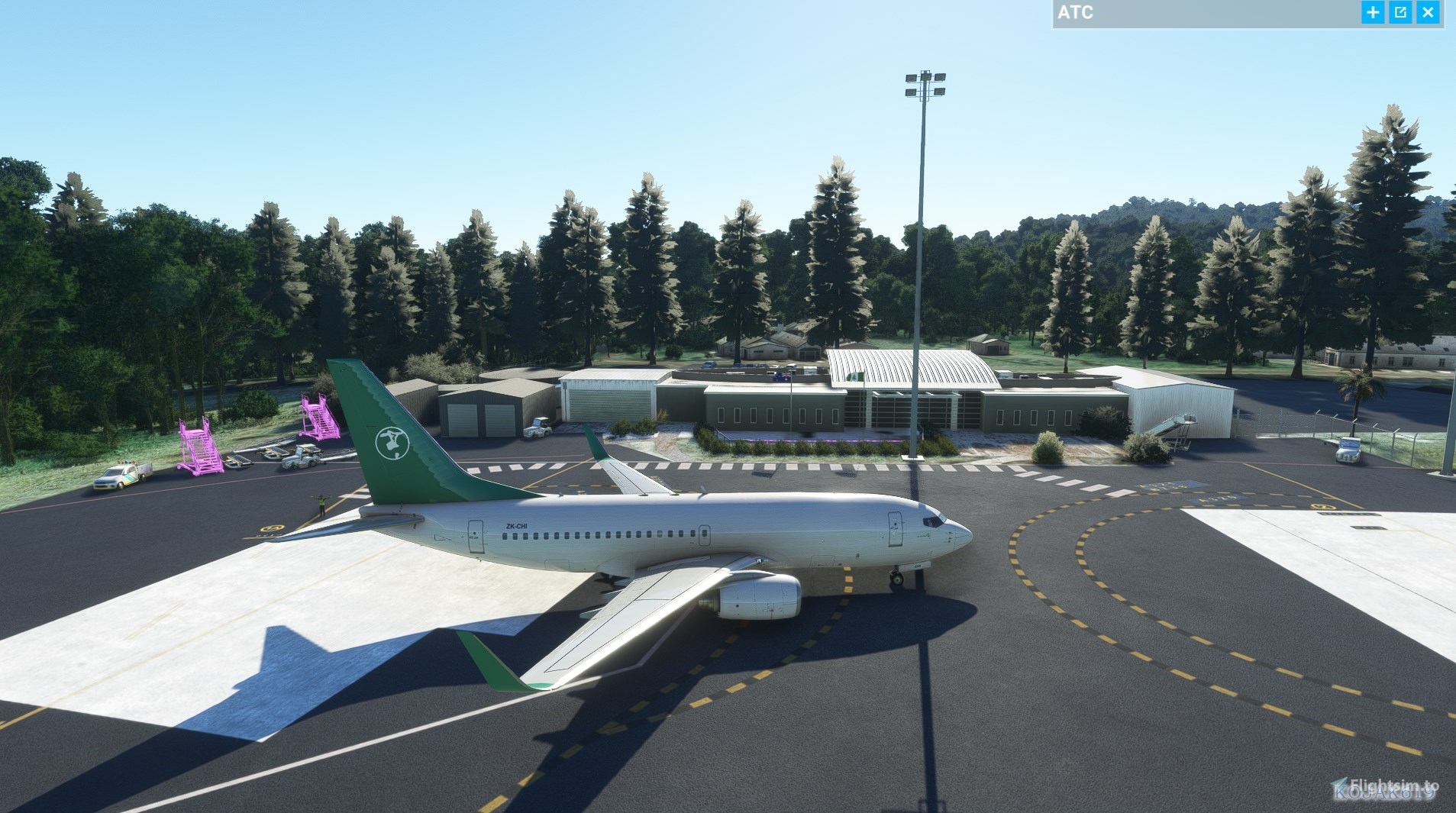
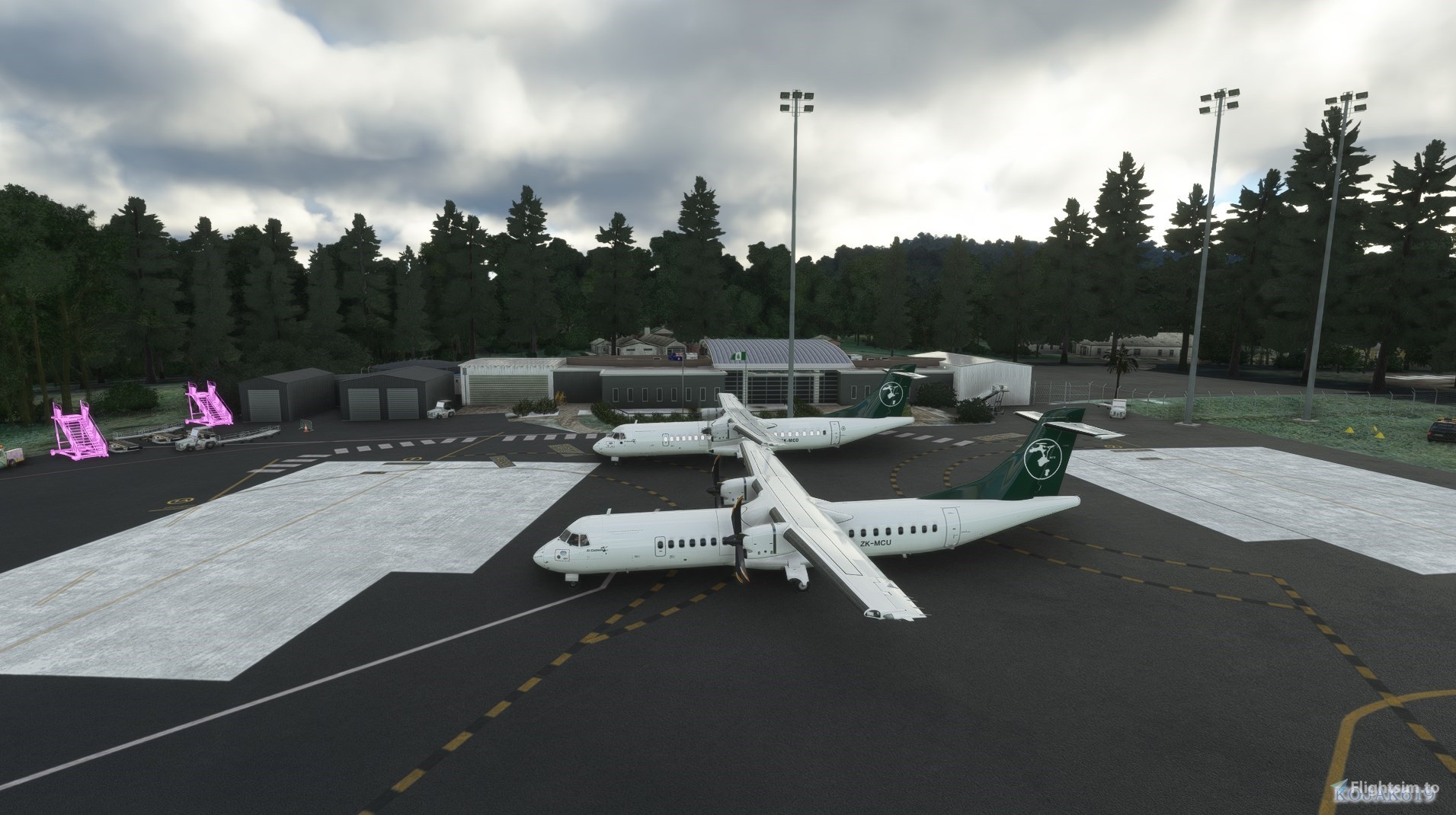
- Added Terminal, Meteorological Office, Emergency Services Centre, Fuel Facility, Waste Centre, Sewage Treatment Plant and Electricity shed.
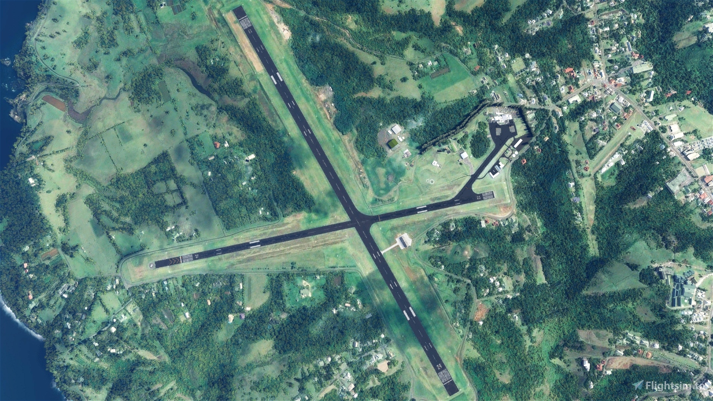
- Moved aerodrome beacon to Mount Pitt, 1.4nm to the north.
- Added VOR, DME and NDB infrastructure to the correct locations.
- Updated wind direction indicators (windsocks) and added lighting.
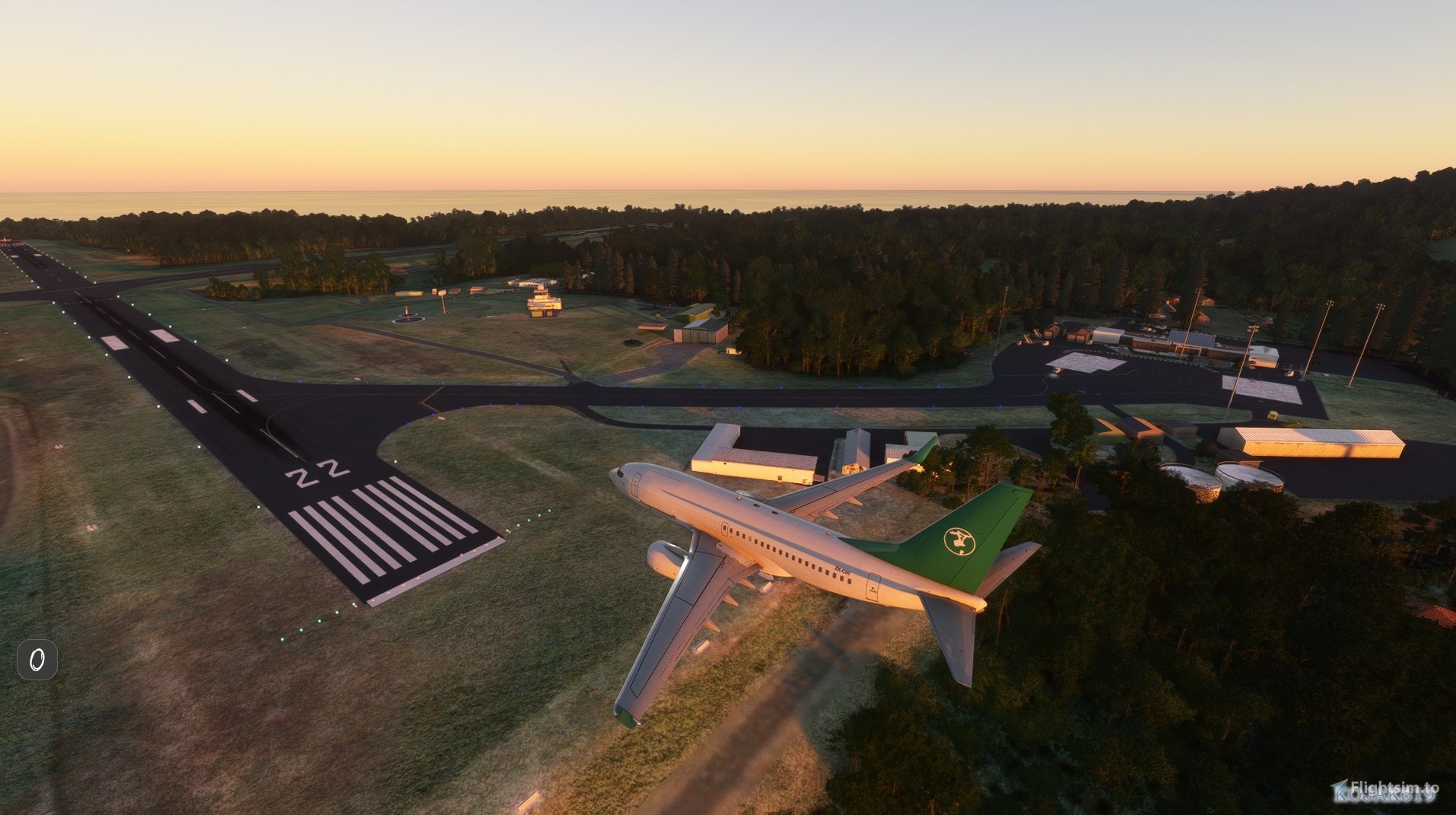
- Added taxi, stop bar, leadout line markings.
- Added apron lighting.
Dependencies:
World Update VII: Australia
Mikea.at - AssetPack
MSFS 2020 object library
Turtletank's Scenery Developer Objects and Material Library
Dave's Crooked Library
Pascal's library
EDHK Lights & Objects Developers Pack
Windy Things
Emerald Object Library
Known Issues and plans:
- Create custom buildings and clutter. Currently using library models.
- Vegetation needs extensive updating. I've fixed some of it, but there is a lot more work to do for it to be representative of the area.
- Improve runway, taxiway and apron lighting.
- Fences. Waiting until SU10 to utilise the Fence Tool.
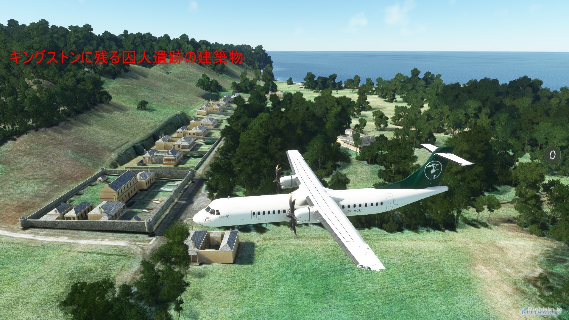
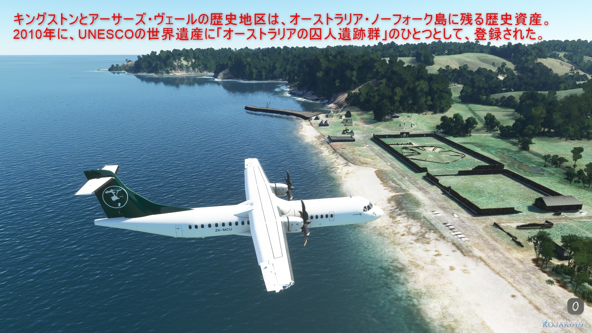
- Add Kingston's UNESCO World Heritage site as a POI.
Attributions:
- Elevation data created using MSFS Toolkit by Nool Aerosystems (https://msfs.nool.ee/)
- "Norfolk Island lidar" (https://data.csiro.au/collection/csiro:43016v1) by CSIRO is licensed under CC BY 4.0
Donations:
While no obligation, any donations will be used to create and maintain my sceneries.


RF86_kojak
とても素晴らしいシーナリーです。ありがとうございます。
It's a very nice scenery. thank you.
geekle author
よかった
I'm glad you liked it.
Thanks for submitting your images.
1 years ago
Ginete
Thank You!
Dave29
Hi,
An interesting feature you could add is the fact the the fire rescue team put up a score board and how the pilots landed. its in the corner of the small protruding building of the fire rescue building closet to the intersections of the runways.
Search "norfolk island airport pictures - Google Search", scroll down until you see the score board.
Regards Dave29
geekle author
It's on the list to do.
1 years ago
Godzilla32
When I link this airport using Addon Linker I suffer a CTD when loading the sim. If I unlike this addon the sim loads fine. Something happened in your last update.
geekle author
Thanks for the report. Can you recall what version you were running previously?
I'll attempt to reproduce it.
2 years ago
Crichton13
Hi there, just wanted to say that for my system, the way this map interacts with some others makes my Sim CTD.
Not a criticism - simply an observation.
I spent the past hour whittling it down and it's definitely this map that causes the crash.
Adelaideguru
same here?
2 years ago
179togs
Excellent work my friend, look forward to further new works.
coull
Sent a small donation as a thankyou.Appreciate you taking the time to do this.👍👍😁
geekle author
Cheers mate! Very much appreciated.
2 years ago
coull
Very nice and a vast improvement on the stock standard scenery.I used to go there for holidays as a child with my parents back in the early 70's.Had my honeymoon there.34 yrs ago.Lovely place.Fond memories.Cheers.
Transair
This looks really good. A lot of work already and promising for future updates. Can I suggest a slightly lighter coloured tarmac....it seems a little dark I reckon...
geekle author
Thanks for the kind words and the feedback.
I've added your suggestion to the Roadmap and should get to it shortly.
2 years ago