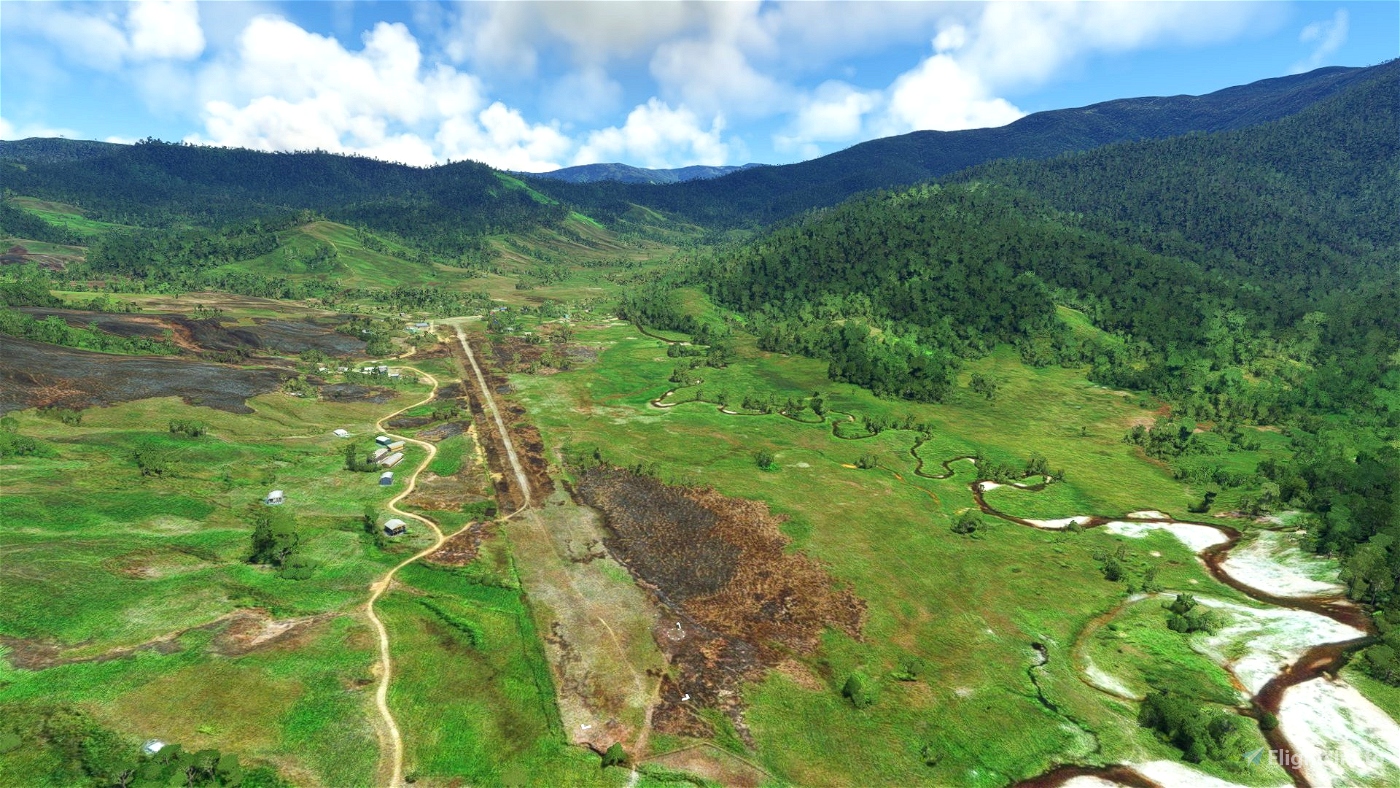
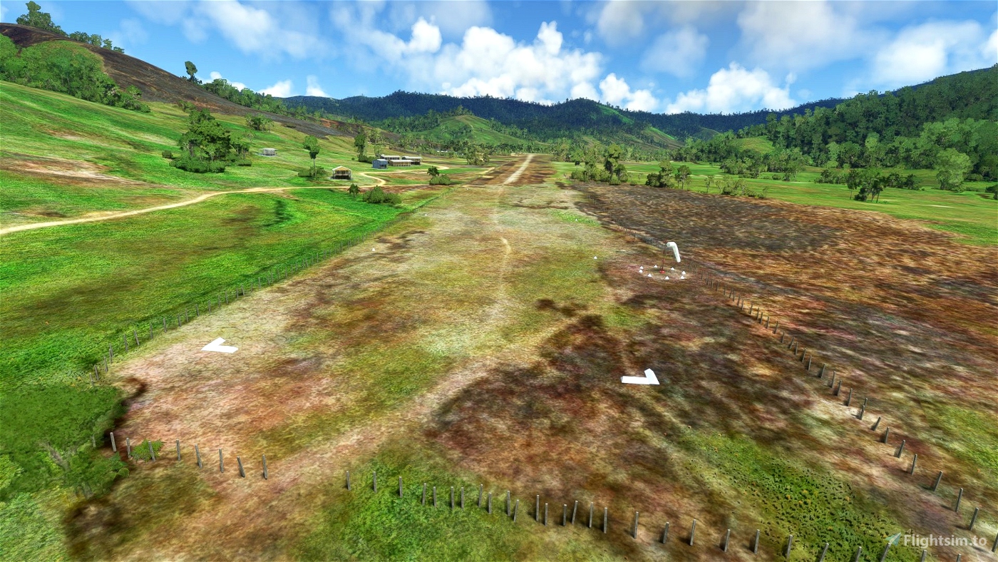
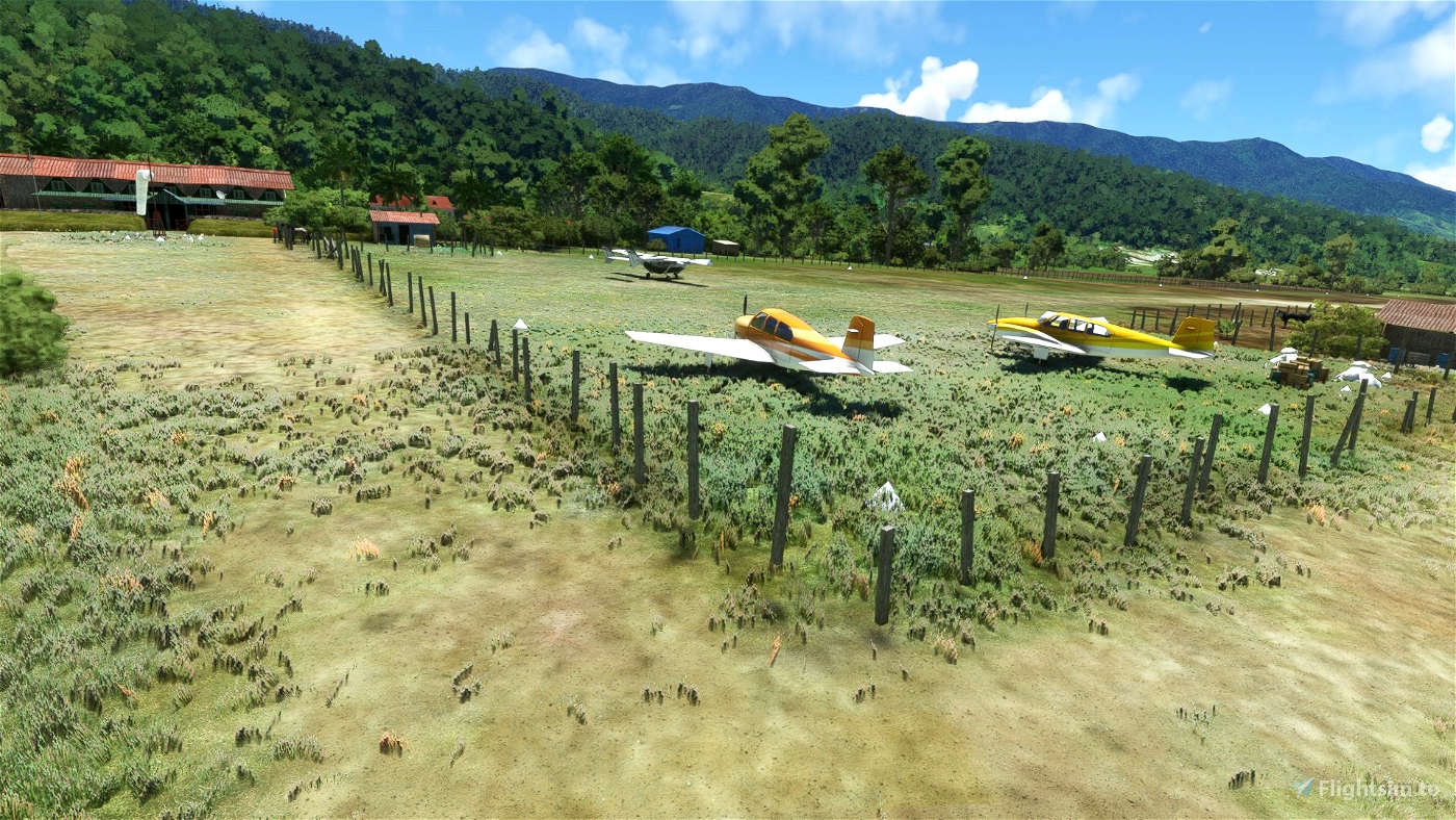
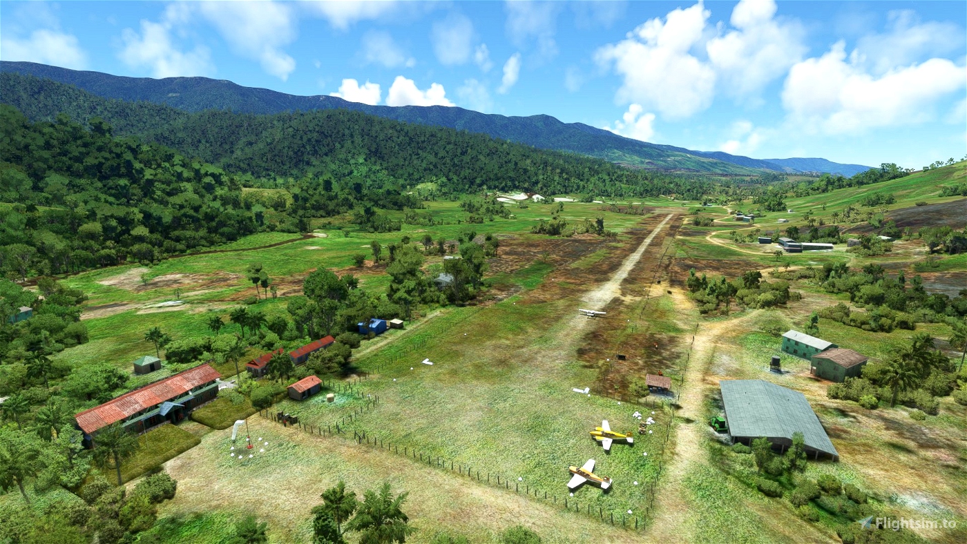
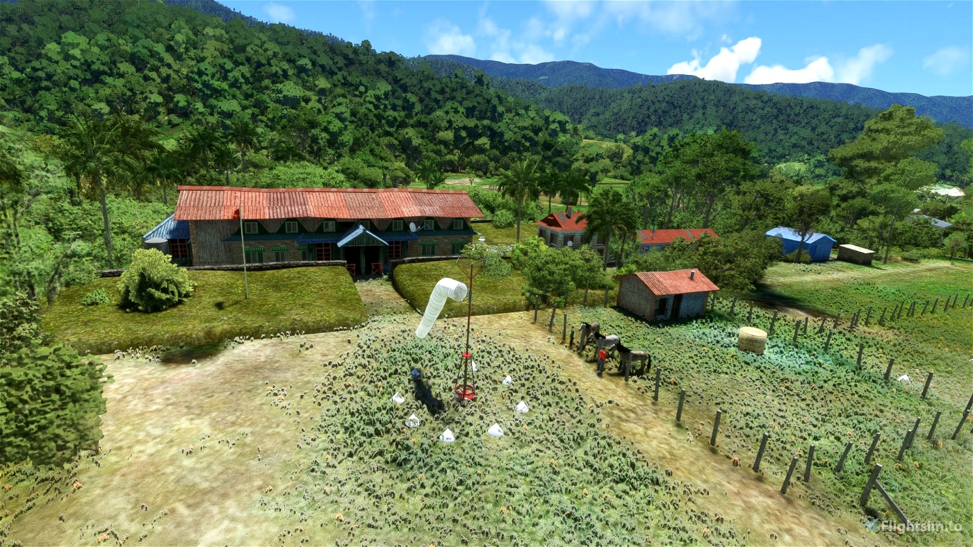
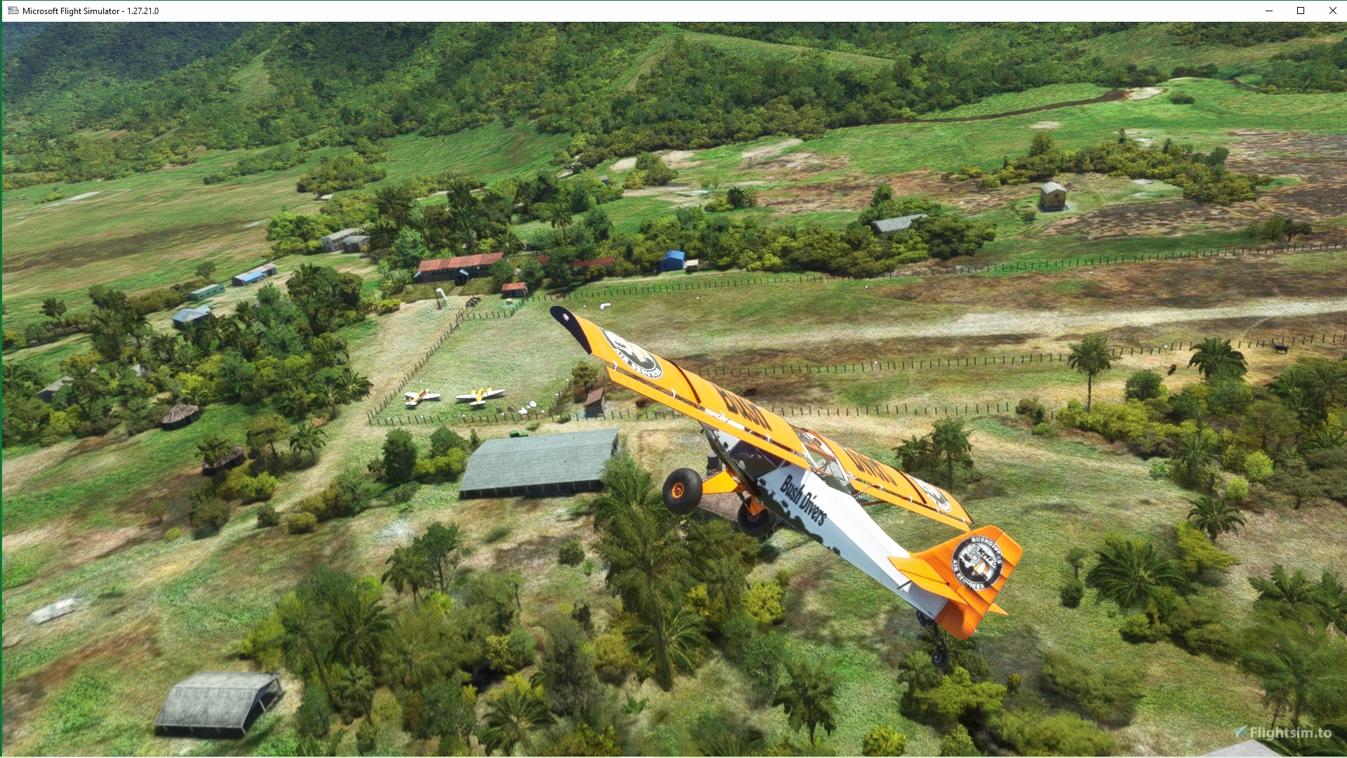
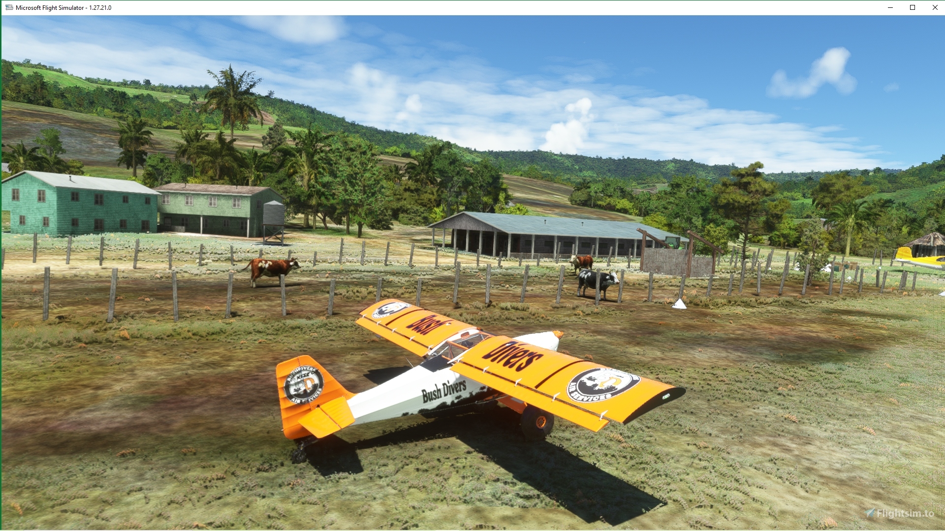
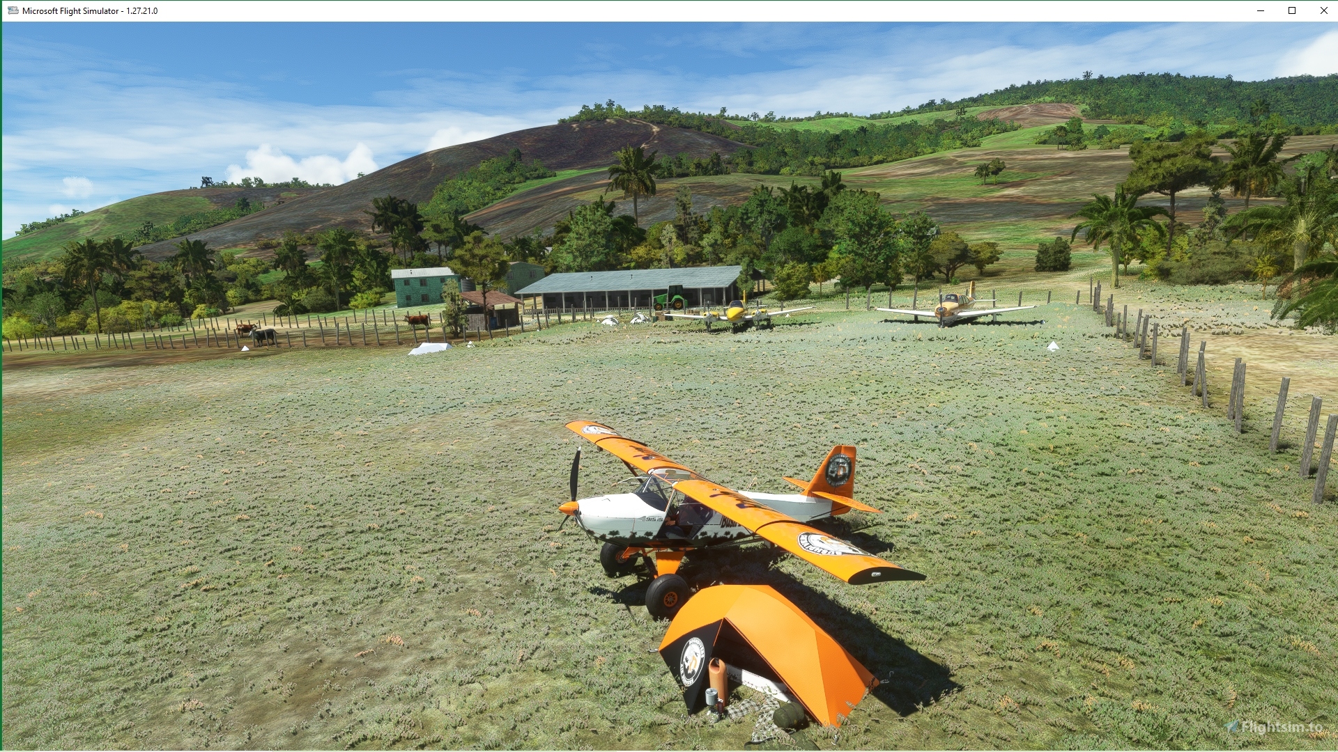
Woitape AYWT is the main airfield in Woitape Valley. My scenery is set in the late 60's/early 70's when flying vegetables from this beautiful valley to AYPY. The airfield is over 5000' altitude and in those days it was a very pleasant overnight trip to stay at rustic Woitape Lodge with a fireplace before hauing lettuce and cabbage to Moresby next morning! The good old days!
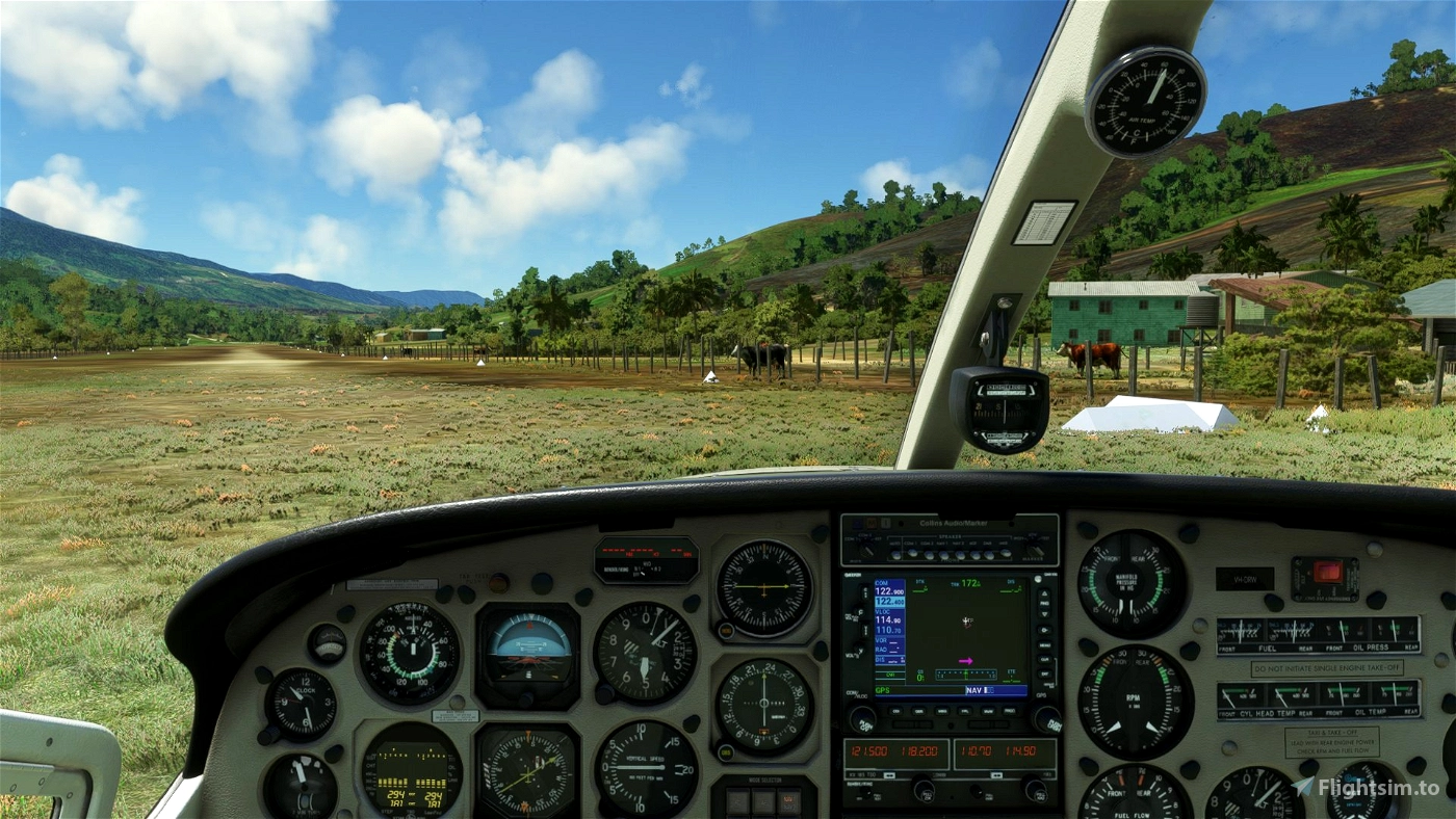
NOTAM: Strictly VFR (often socked in by 11.00)
Note: Constructed using deluxe edition of MSFS. Standard edition may not show some objects
Thanks as usual to Colinj for objects and TRSFTO for PNG flag. If you don't have these essential libraries thery are available here:
https://flightsim.to/file/14024/windy-things
I sincerely thank all who enjoy my scenery. Simply delete if you don't
Safe flying
Cheers

 Mountainair


fStopper
Thanks for all these airfields/strips/ports in this part of the world, and for keeping them very lightweight. Great for discovery flights.
Mountainair author
Thanks fStopper. Appreciate your support and grateful for your comments
Cheers mate!
2 years ago
PAPYDANIEL66
Bonjour,de France. Merci pour ce travail. Jolie scène
Mountainair author
Merci
2 years ago
sprunga
Rait Olgeta! Used to fly there, never got to stay there though! Downloading now. I see you have done Tapini as well so I'll down load that as well.
Mountainair author
Apinun sprunga! Mi hapi tumas yu laikim WTP😀 As a bored old PNG flyer I got a bit nostalgic a couple of years ago and started building scenery. Hope you will download a few more of my PNG airfields
Cheers mate
2 years ago
Cessna777
AYWT does not show up in the world map.
Mountainair author
MSFS label it as IATA code WTP. ICAO code is AYWT .Just go to "search" on your map of PNG and enter "Woitape" or "WTP". I have also designated it as a "star" airport to make it easy to find.
2 years ago