Installation and file info - there are 2 zip files to download - "Main File" is the scenery itself and "EPNT Nowy Targ Airport AERIAL" is the aerial photos of the airport and region. After unzipping place both folders in your community folder.
Seperating the scenery and aerial means that in case of an update there will be much less data to download which makes it convenient for everyone. The aerial file is not required to run the scenery but I recommend it highly as the default aerials in MSFS of that region are very poor quality.
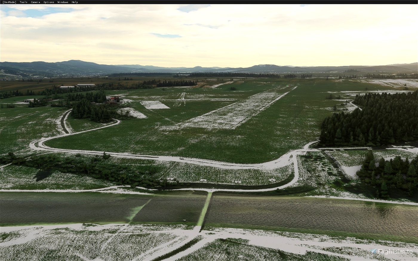
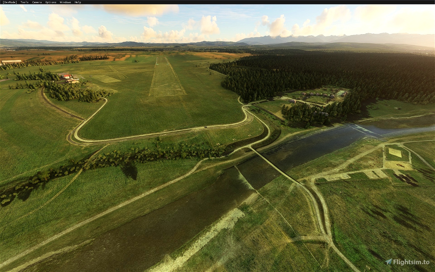
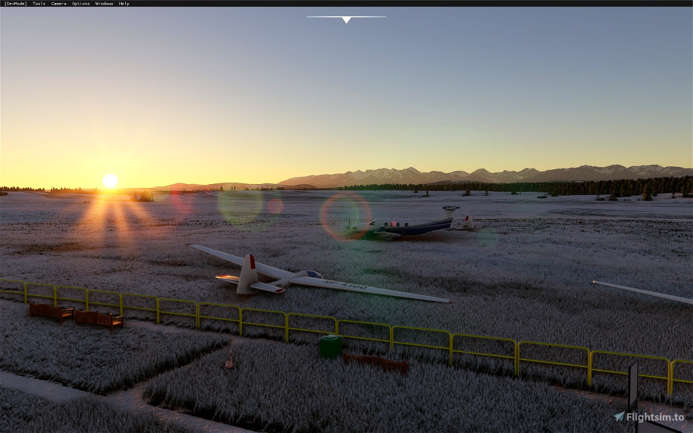
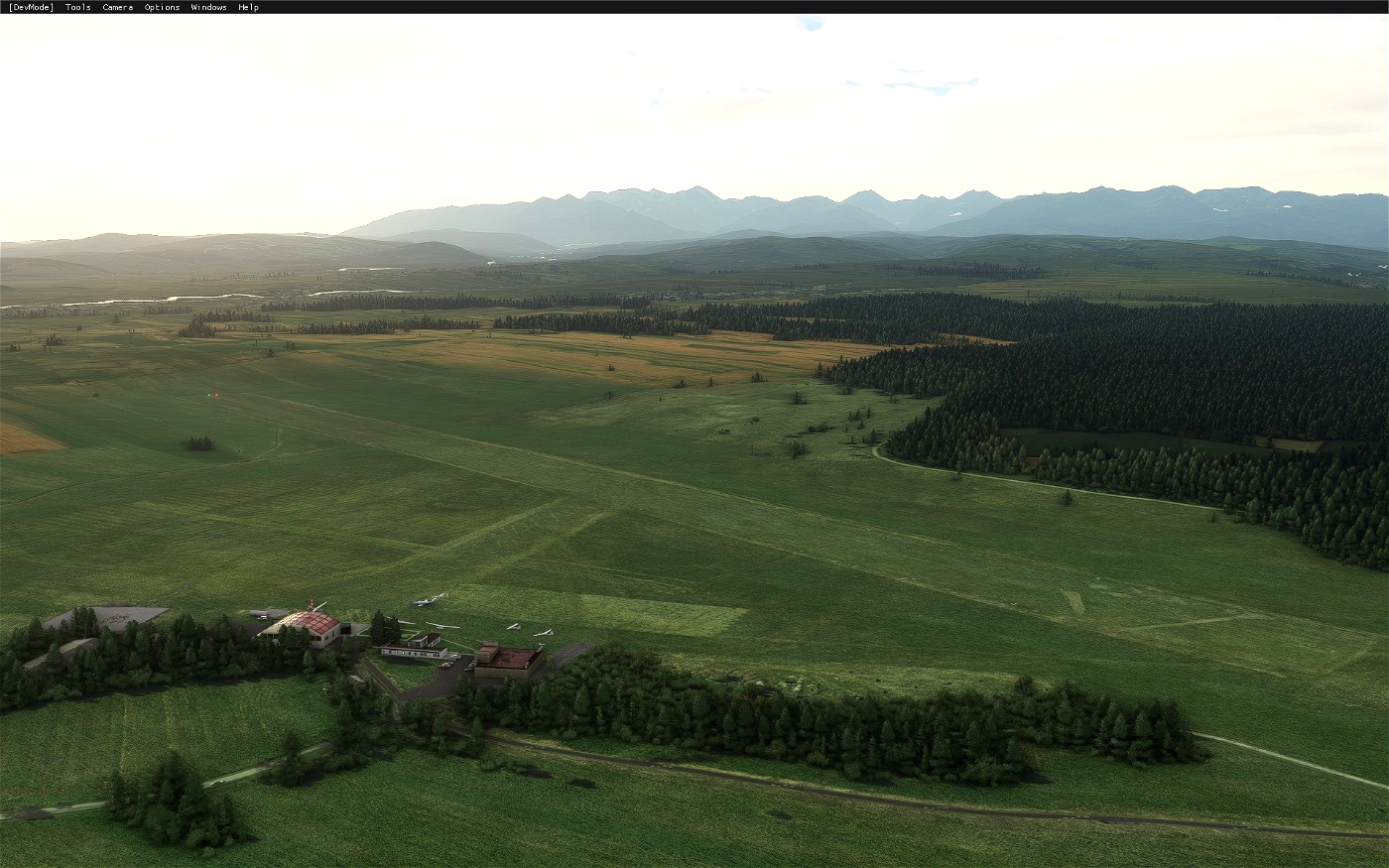
This is a scenery pack for a small airfield in the south of Poland in the city of Nowy Targ. The airport ICAO is EPNT. This it the highest (elevation wise) airfield in Poland. It has a grass runway 12/30. The airport is in close proximity of the Tatra Mountains.
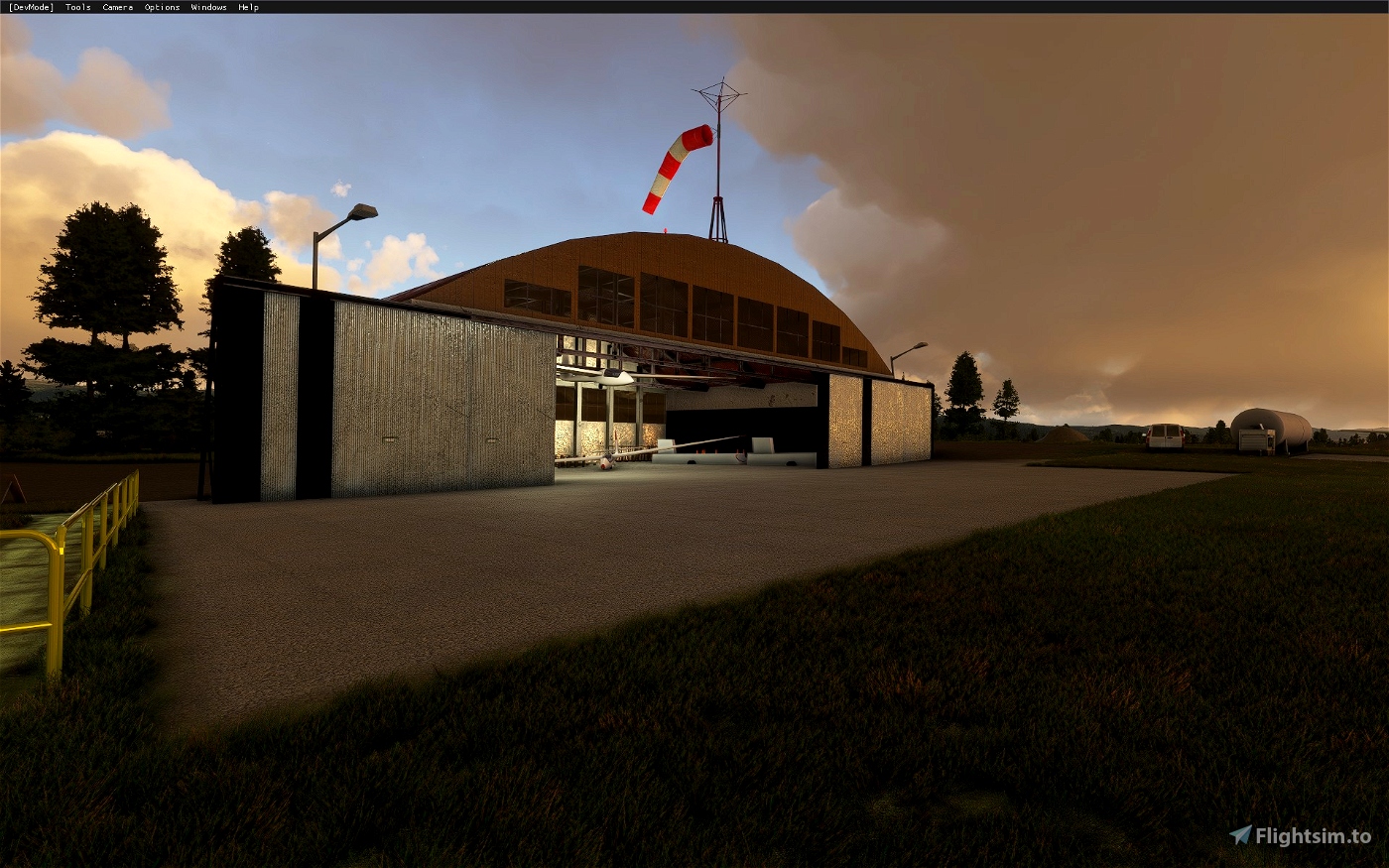
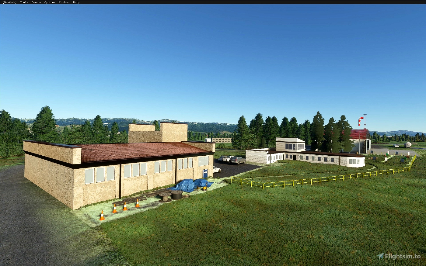
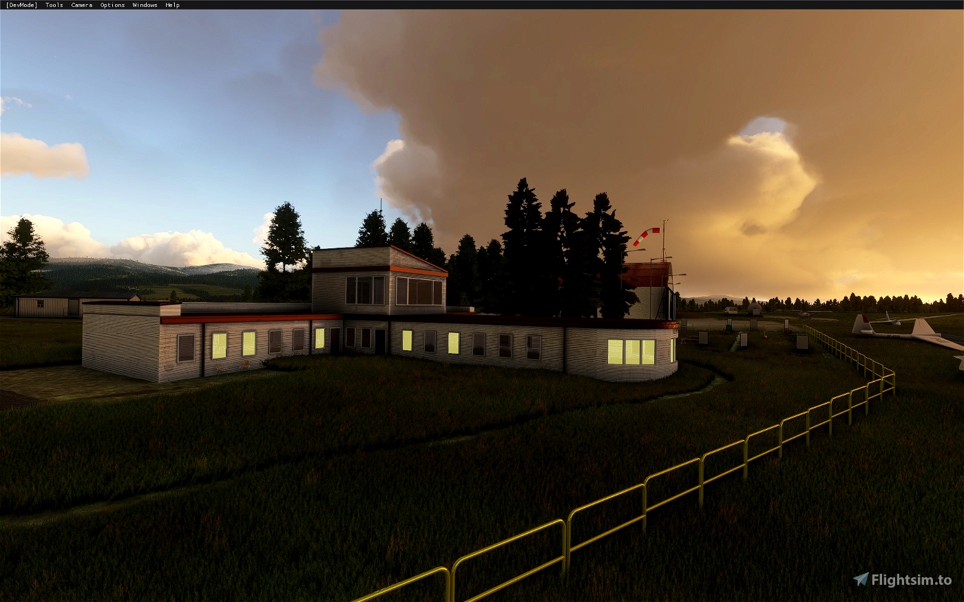
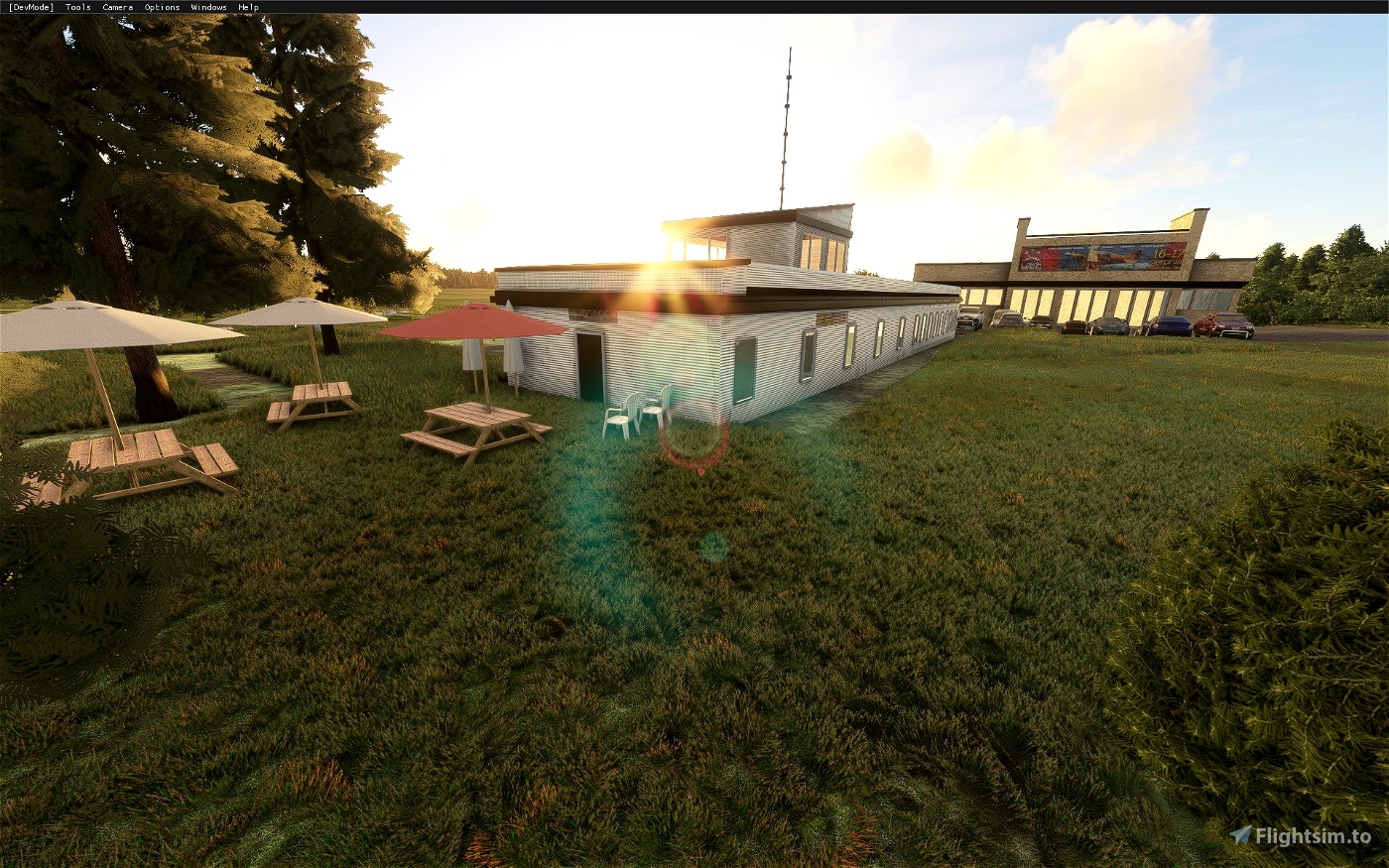
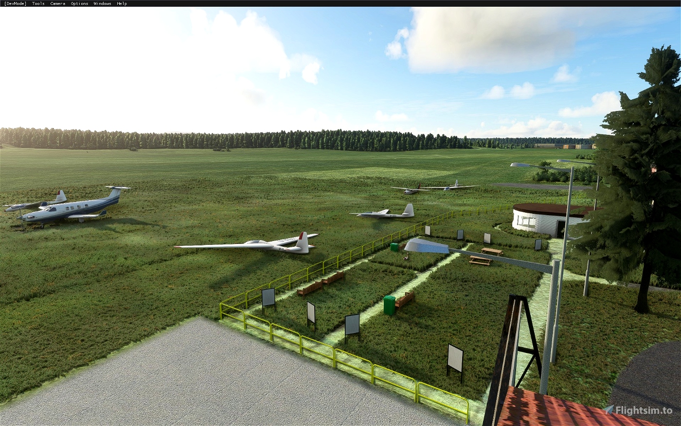
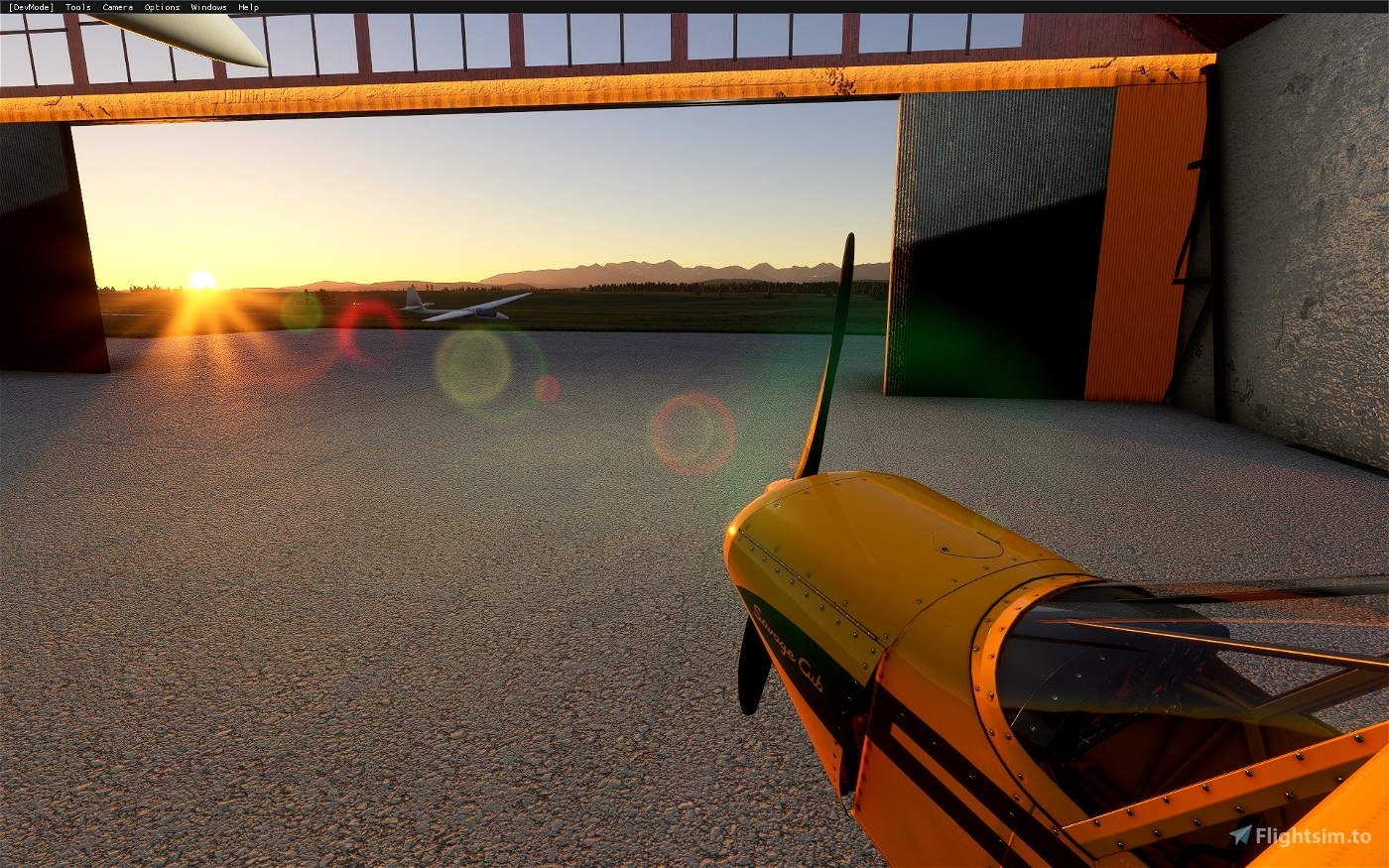
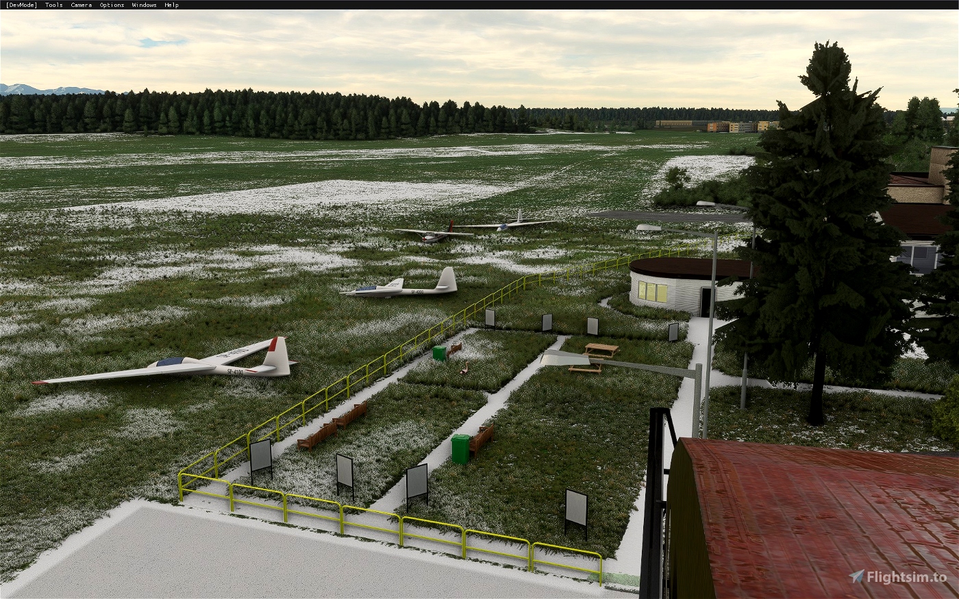
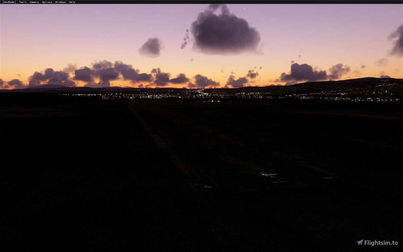
The scenery consists of a mix of assets - the most important buildings were built from scratch in Blender, some minor ones were added using default MSFS assets. The surroundings of the airport were also touched up. The custom buildings inlcude night lighting and PBR textures. Custom aerial imagery is included.
Custom created models include:
- Main hangar
- Main airport buidling
- Secondary airport building
- Fencing
- Static gliders
This is still a work in progress. Some models might be rough around the edges,
Happy flying!


CaptainMoonlight
pizzamonster
Super miejscówka! Tyle razy tam latałem 😊 Pytanko mam: podpisana wersja to 1.1.5, a w manifeście jest 1.3.0, to jakiś błąd?
Y0Y0
A tak przy okazji musisz zrobić updejt ściany hangaru, teraz jest malunek 😊. Chcesz fotkę?
Y0Y0
Mała prośba, mógłbyś poprawić Parking Spot 2, zerknij tu: https://i.imgur.com/yGa2dNy.jpg samolot ginie w zbiorniku, który jest tuż obok. Może trochę przesunąć parking spot a południe?
Y0Y0
Dzięki, a jak instalować? Oba pliki wstawić do Community? Czyli piotrkol-airport-aerial-epnt oraz piotrkol-airport-epnt-nowytarg ? To w sumie po co są podzielone, a nie jest to jeden plik? 😉
piotrkol author
Hej, tak jest, oba do community. Zdecydowałem podzielić bo aerial dużo waży (prawie 1gb), a nie ma sensu go pobierać za każdym razem jak wychodzi aktualizacja lotniska. Dzięki temu jak coś się zmieni na samym lotnisku to wystarczy pobrać te 70mb, a aerial zostawić w spokoju :) Poza tym prędzej czy później Asobo zaktualizuje mapy lotnicze okolicy i być może mój aerial stanie się zbędny.
3 years ago
PythonChan
Not compatible with update 5
piotrkol author
Thanks for the info. Works for me with no issues but just to be sure I rebuilt the package using SU5 and updated the file ;)
3 years ago
parasite
Świetna robota!
Smrek
makaroniarz
piotrkol author
4 years ago
Flanker1313
ChrisMaver
piotrkol author
4 years ago