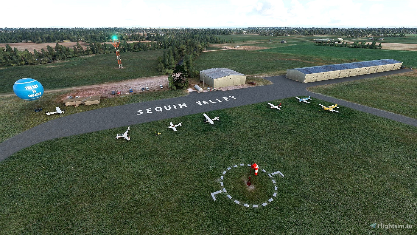
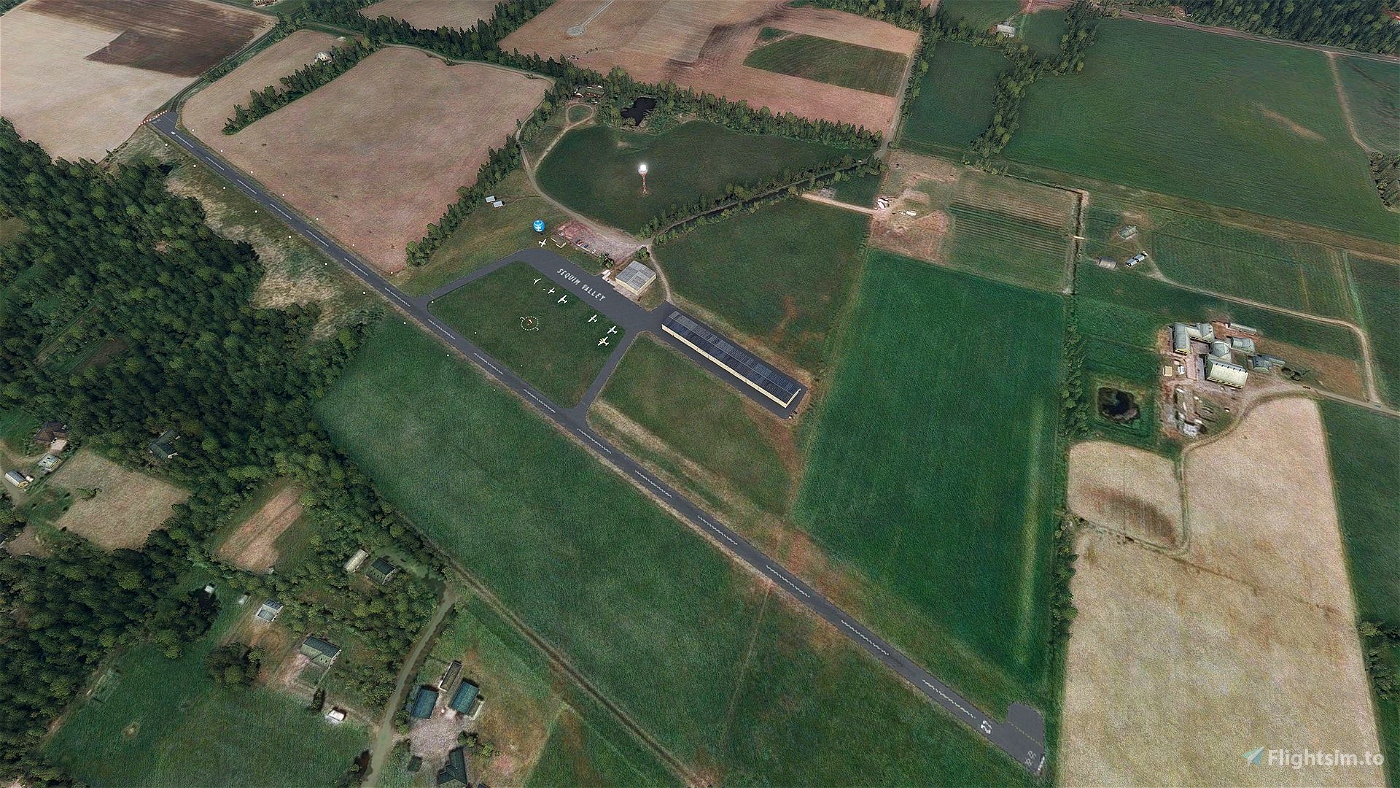

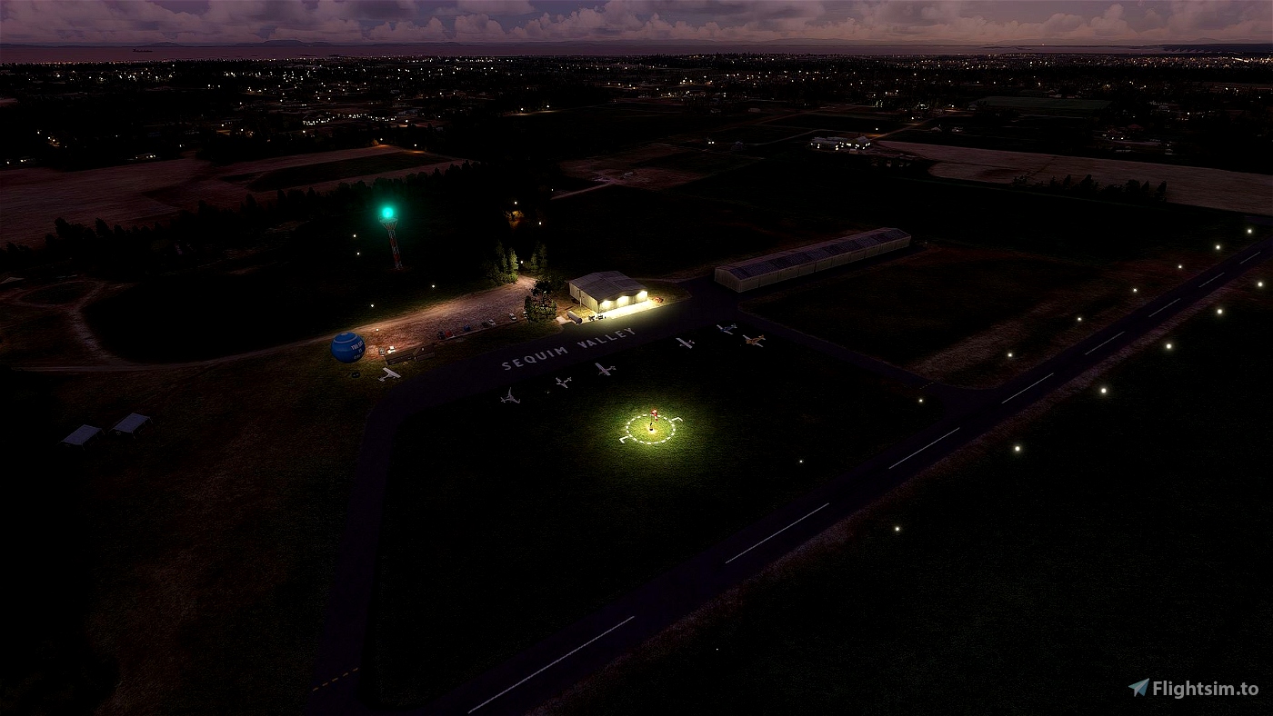
Sequim Valley Airport (W28) is a privately owned, open for public use airport and residential airpark located in the rain shadow of the Olympic Mountains, three miles northwest of sunny Sequim, Washington.
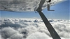
The airport is a stone throw away from Sekiu (11S), Friday Harbor (KFHR), Orcas Island (KORS) making for some very interesting flights to the San Juan Islands, Olympic Range (see Mt. Olympus at 8000ft) and Juan de Fuca strait.
Seattle is 50nm and Mt. Rainier is 80nm, both at roughly 120° out of W28
Mt. Baker, Eldorado Peak and Glacier Peak east of Penn Cove VOR (CVV, 50° 20nm).
Another very scenic flight is to start from ORBX OG20 (Fairways Airport, freeware) and navigate either the coast or do VOR navigation.
Airport Information
- https://sequimvalleyairport.com/
- https://sequimvalleyairport.com/about-us/ (runway and important obstruction information)
- https://www.airnav.com/airport/W28
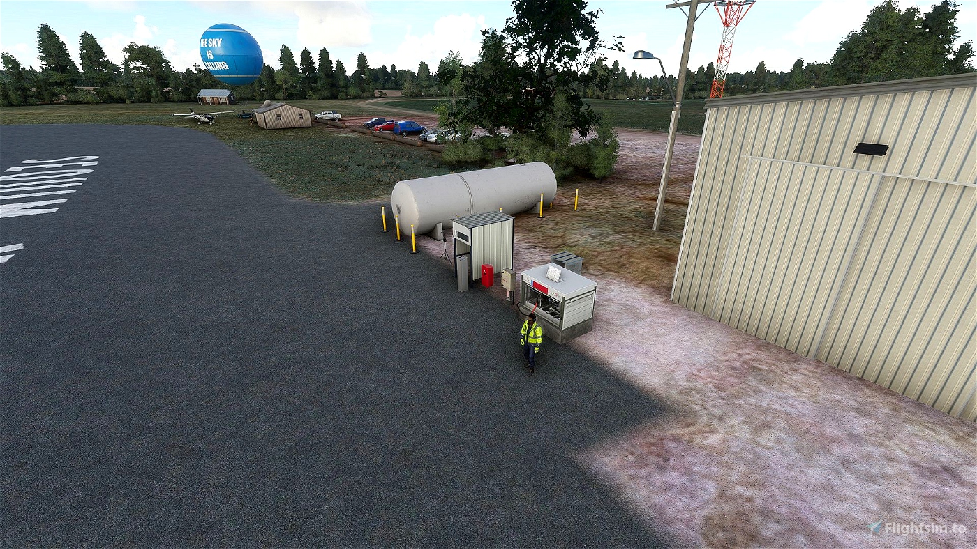
- AVGAS available near the main hangar
- Lighted windsock
- Beacon: white-green (lighted land airport)
About the scenery
The download is small because I'm using regular SDK objects.
I removed also WN23 (Grand View International) as that small grass strip is no longer operational.
In real life there are two windsocks, a regular Windsock and a Wind Tetrahedron but I'm not good in 3D modeling and I'm not able to create a 3D model that interacts with the ingame wind.

 quelcertoleo


TommyvercettyGT
Great aiport made with love
quelcertoleo author
thank you :)
3 years ago
pmacb
quelcertoleo author
3 years ago
Bony
quelcertoleo author
4 years ago
Tailstriker
quelcertoleo author
4 years ago
JustSeanC
Did you make your own segmented circle or get it from somewhere?
quelcertoleo author
4 years ago