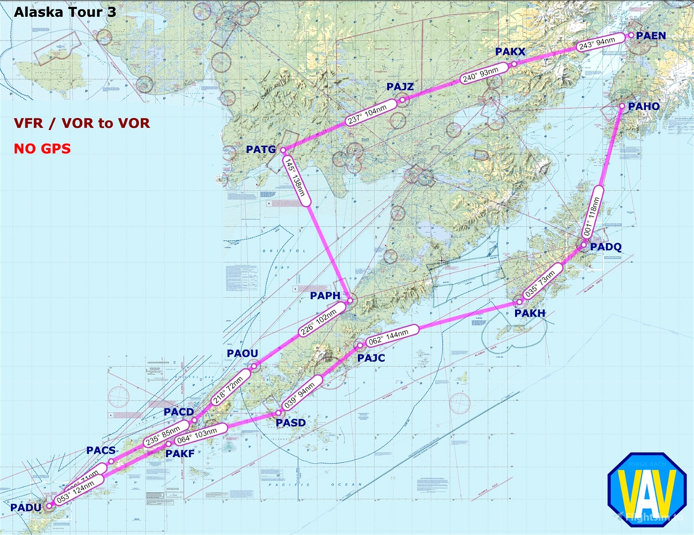

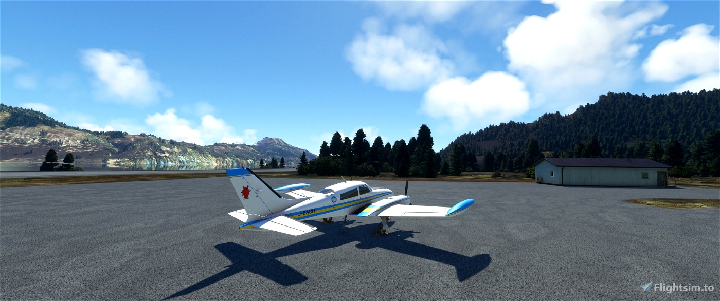


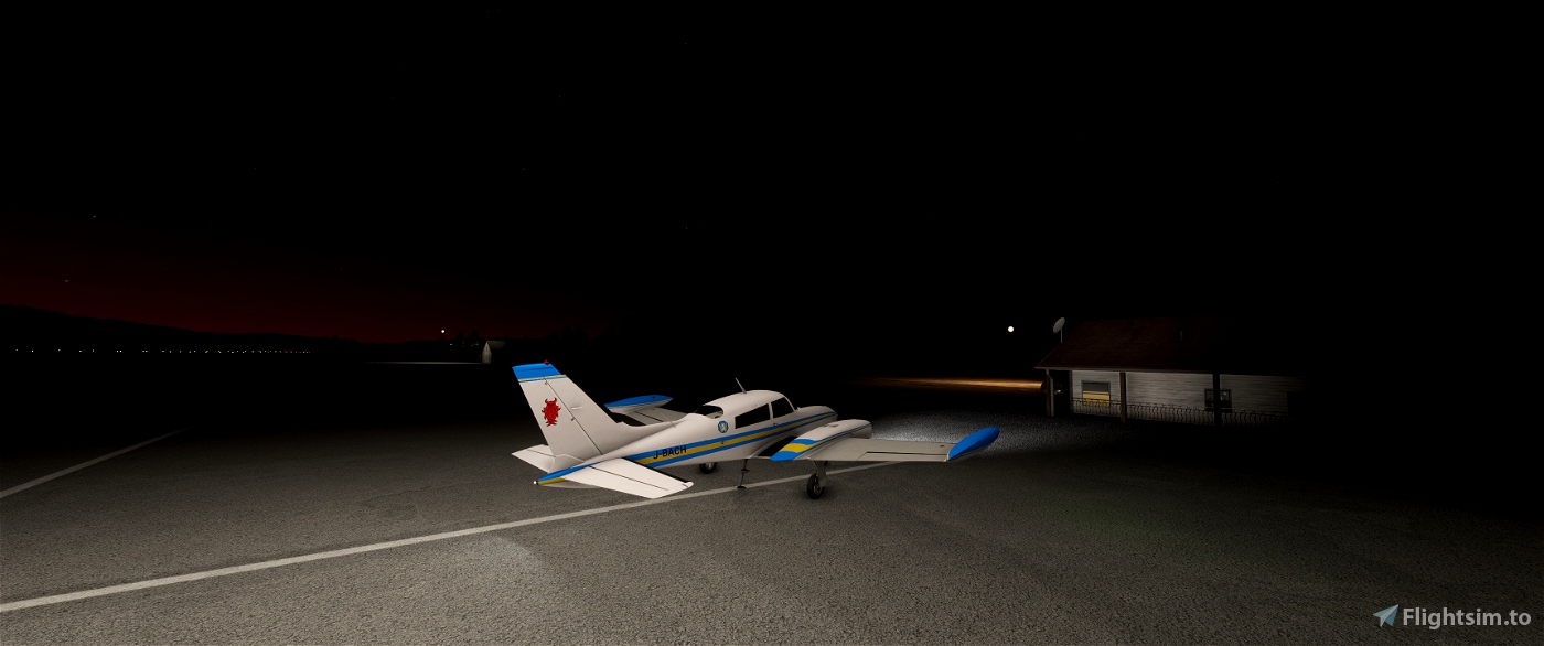
This flight plan links: Kenai (PAEN) with Homer (PAHO) with 14 short legs, less than 150 NM each. Must be done with live weather, using a general aviation aircraft. I've made it with the Blackbird C310R, she is a very appropiate aircraft for this sort of trips.
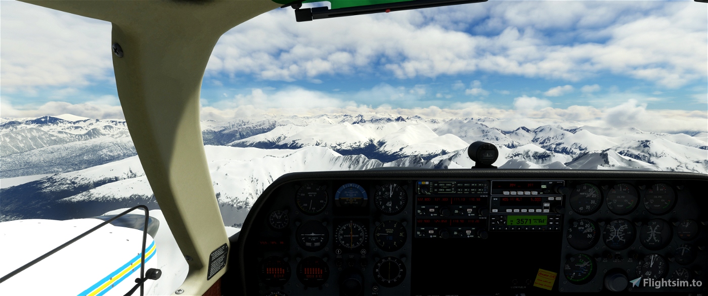
To increase the challenge, don't use satellite navigation (GPS). Only VFR and VOR / DME / NDB.
The map of the route, the navlog and some charts of the airfields are included. All the data was obtained from Sky Vector.
On the video is shown the first leg. The other legs will being upload daily at my YouTube channel:
https://www.youtube.com/@ViejoAviadorVirtual/videos
To install: uncompress the file, copy the folder vav-airport-pajc-chignik on the comunity folder, and put the other folders wherever you like.
Also I encourage to install the Unalaska airport from:
https://flightsim.to/file/44772/unalaska-dutch-harbor-padu
Some airfields are really complicated. ¿Do you accept the challenge?

 RoloBach

