

ENGLISH
Introduction:
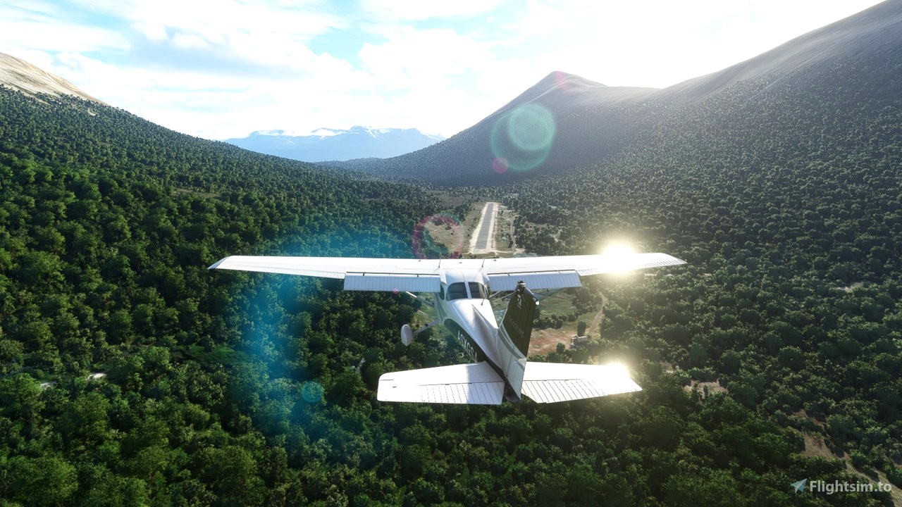
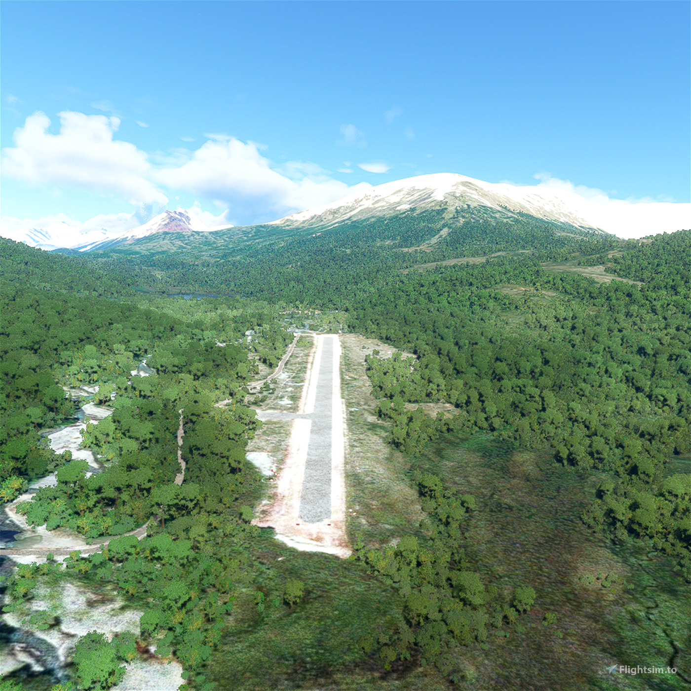
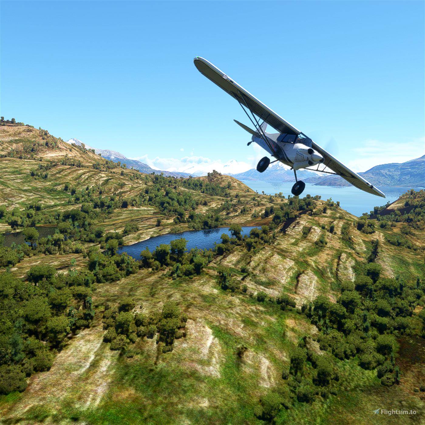
Laguna Redonda Airfield is the southernmost air terminal in the Aysén Region in Chile, located approximately: 10 km (5.4 nm) South of the small settlement of Candelario Mancilla, 60 km (32 nm) Southwest of Villa O'Higgins and 3 km (1.6 nm) North of the border with Argentina. It is also located in the middle of the Villa O'Higgins - El Chaltén tourist route, where more and more people cross from Chile to Argentina by land and water, crossing Lake O'Higgins and Lago del Desierto, usually with the objective of reaching the foot of Mount Fitz Roy in Argentina.
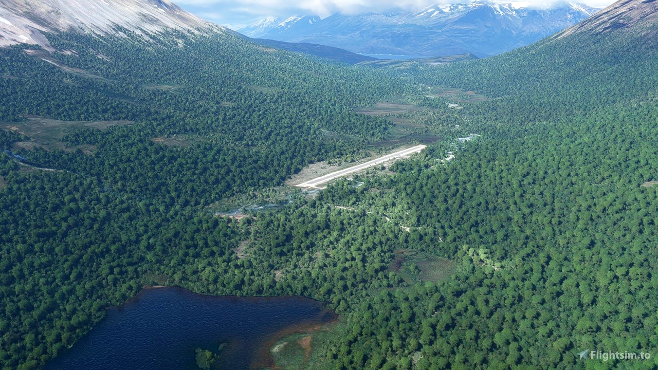
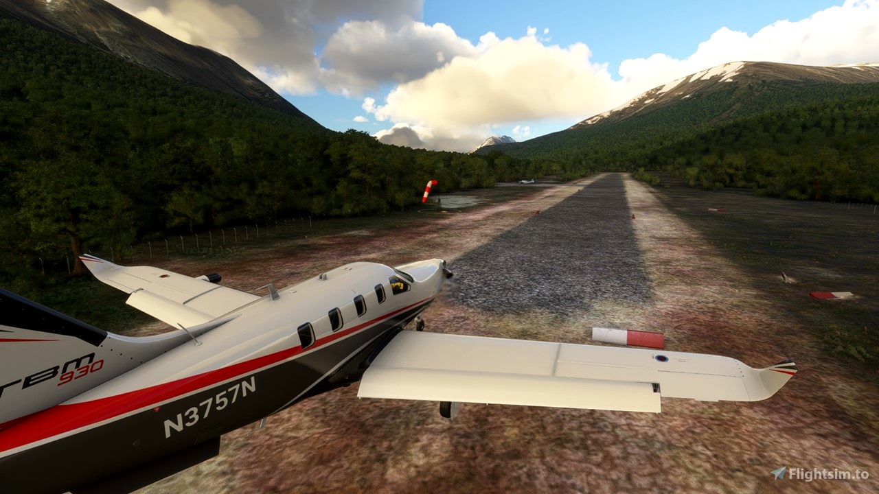
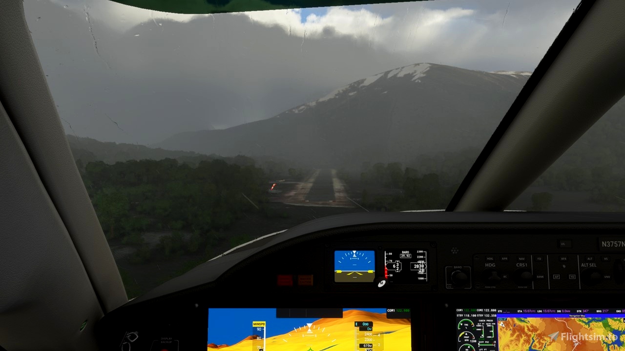
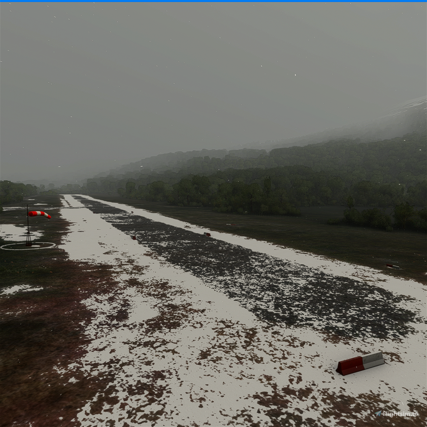
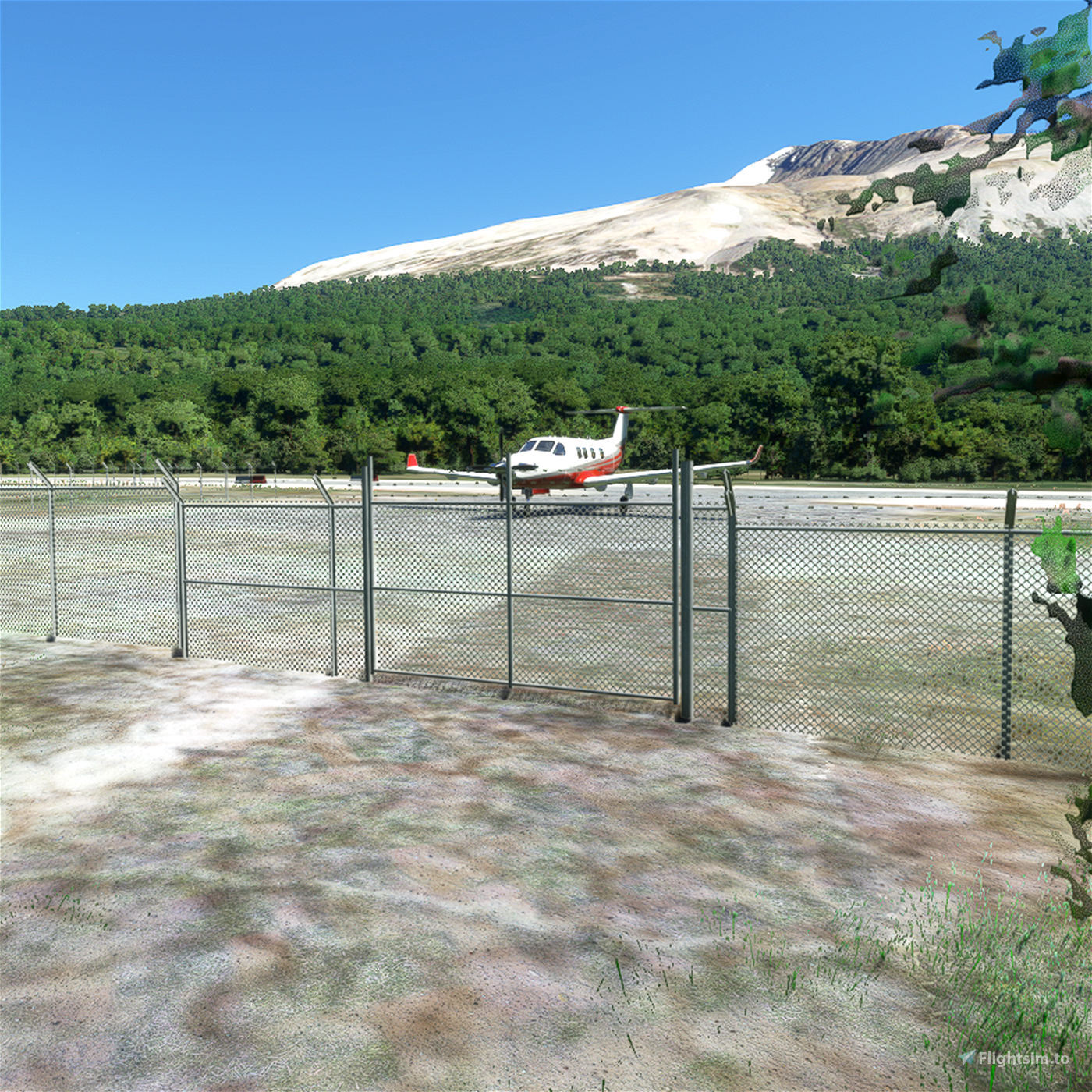
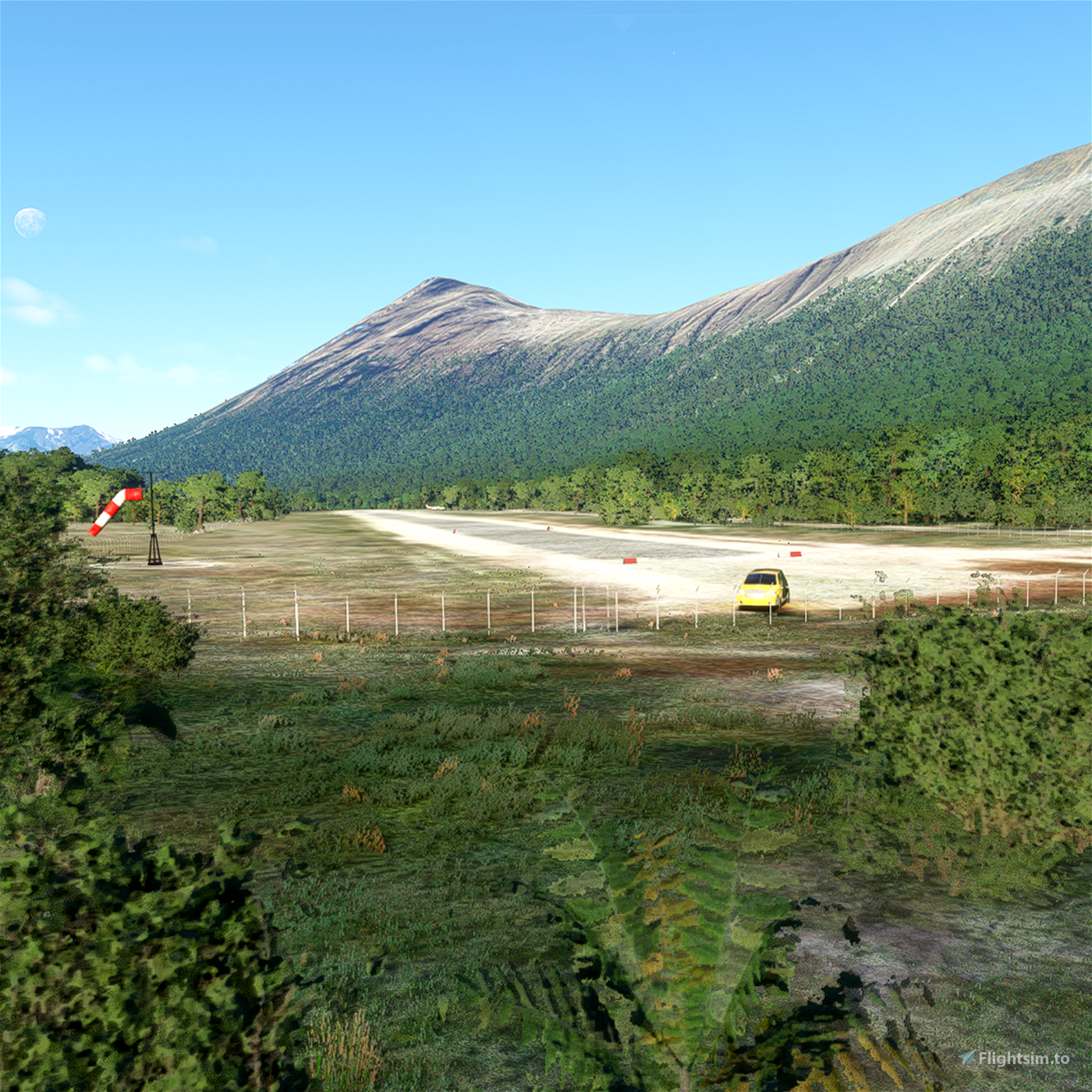
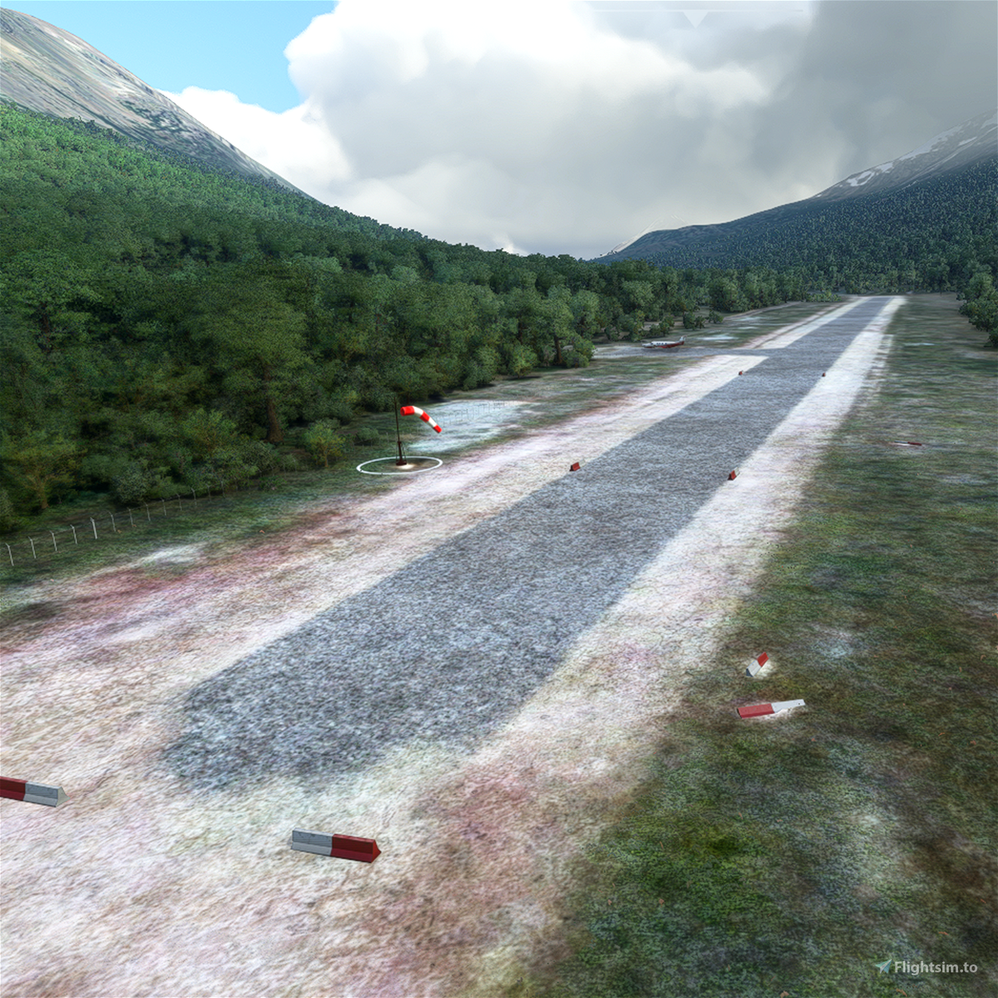
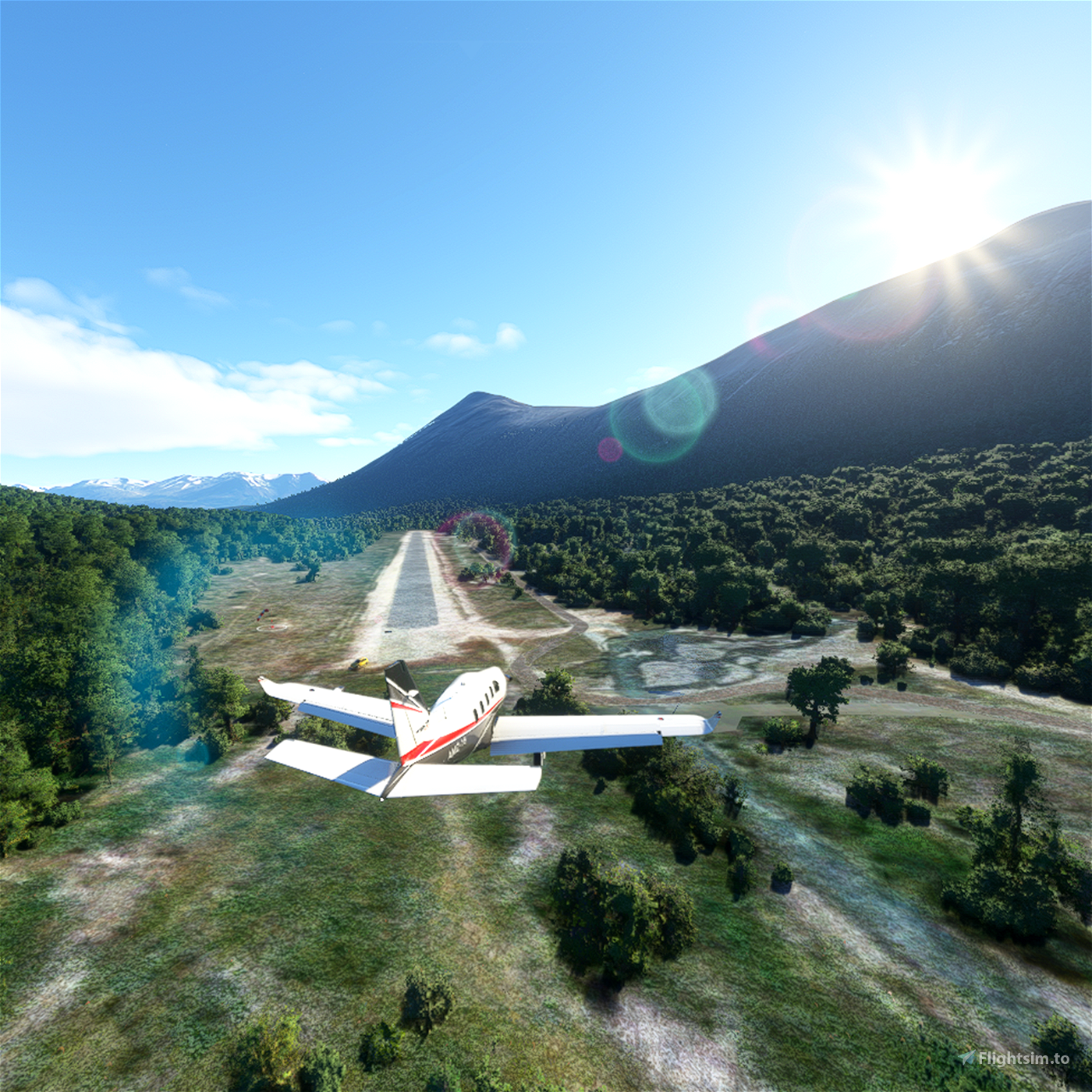
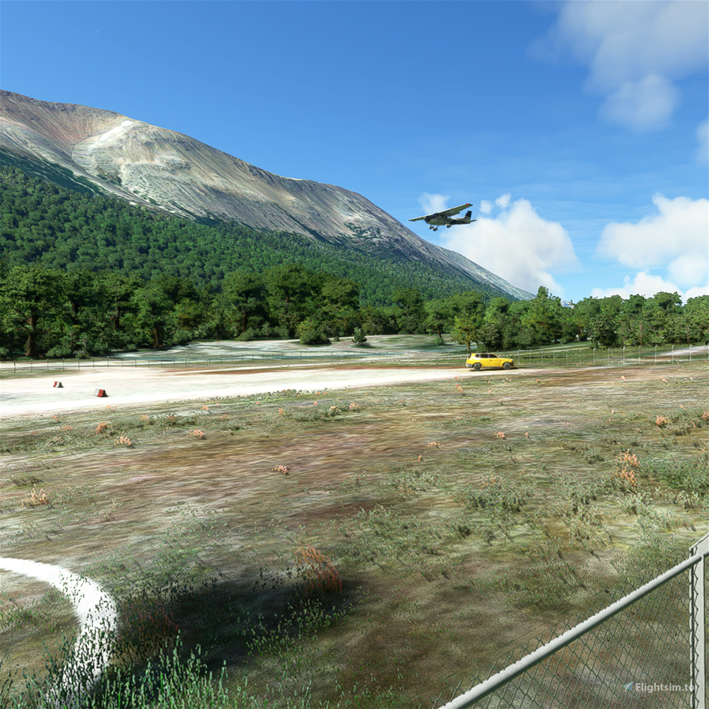
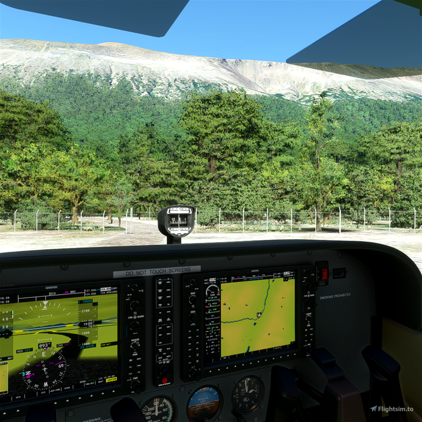
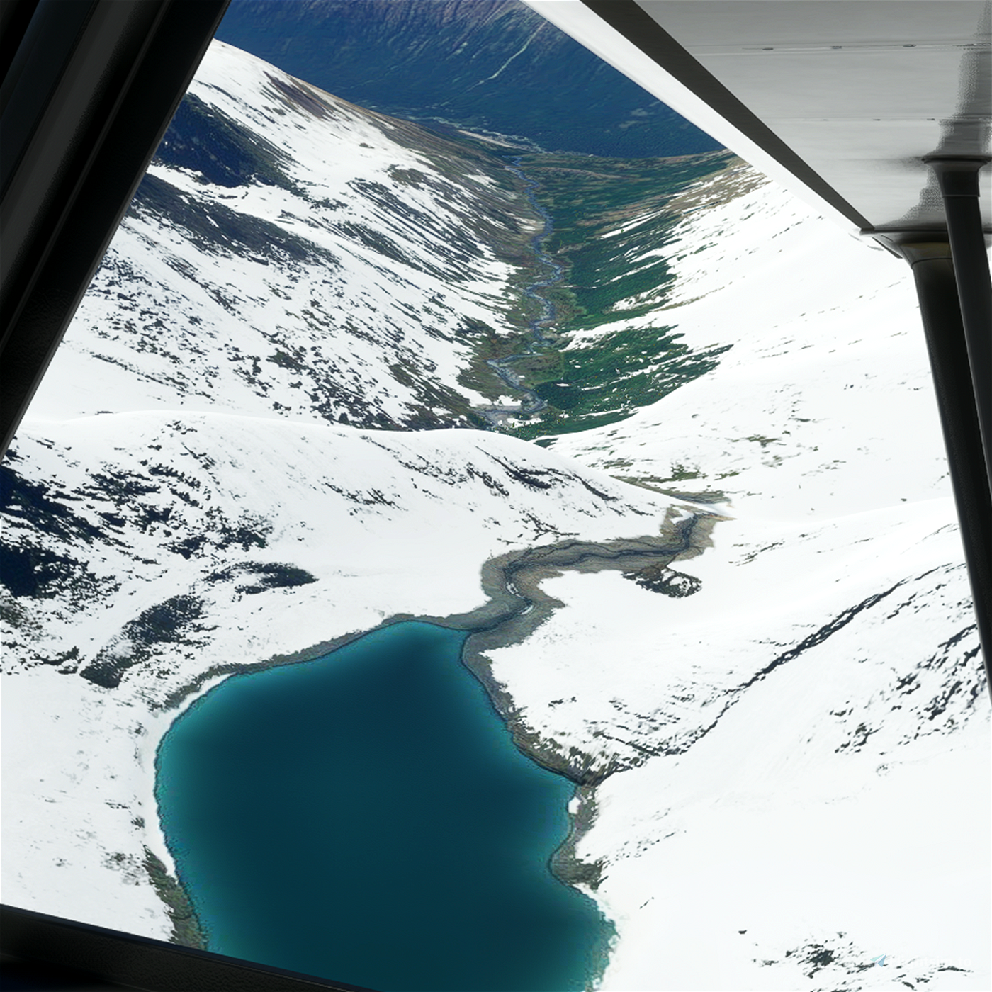
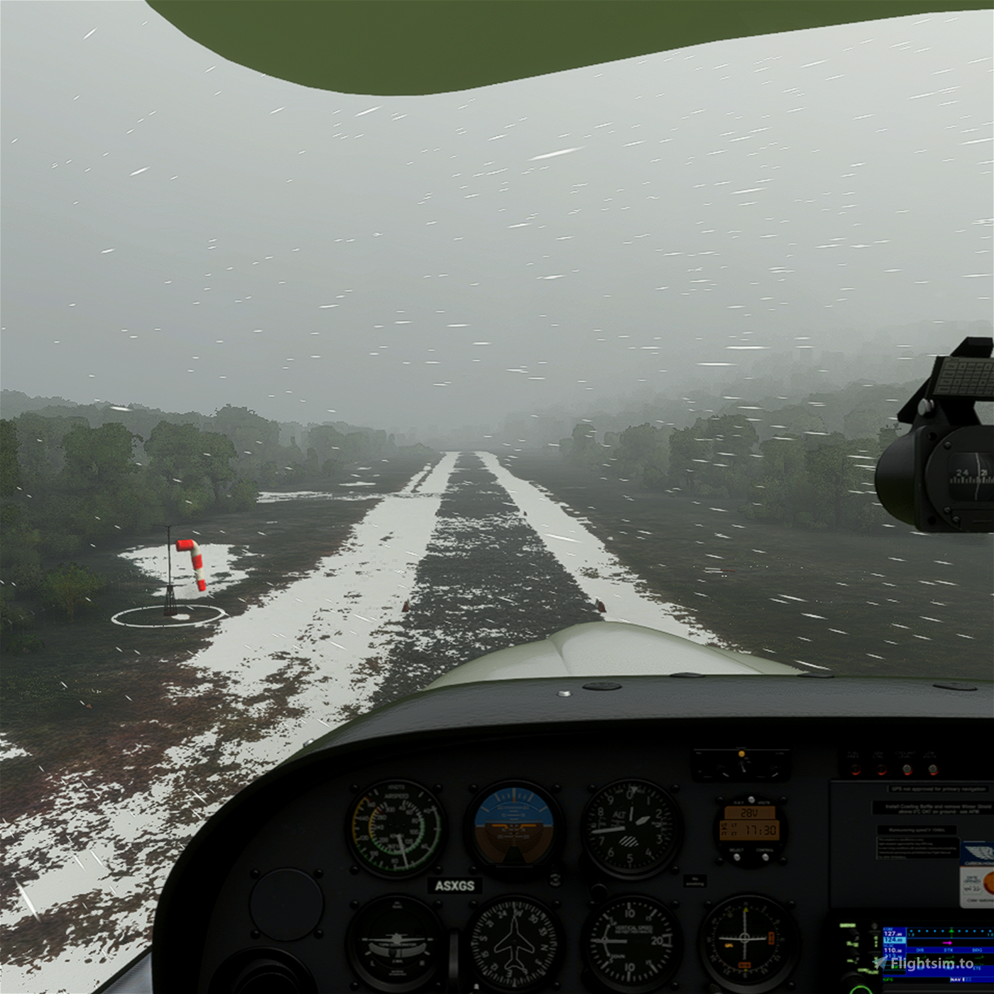
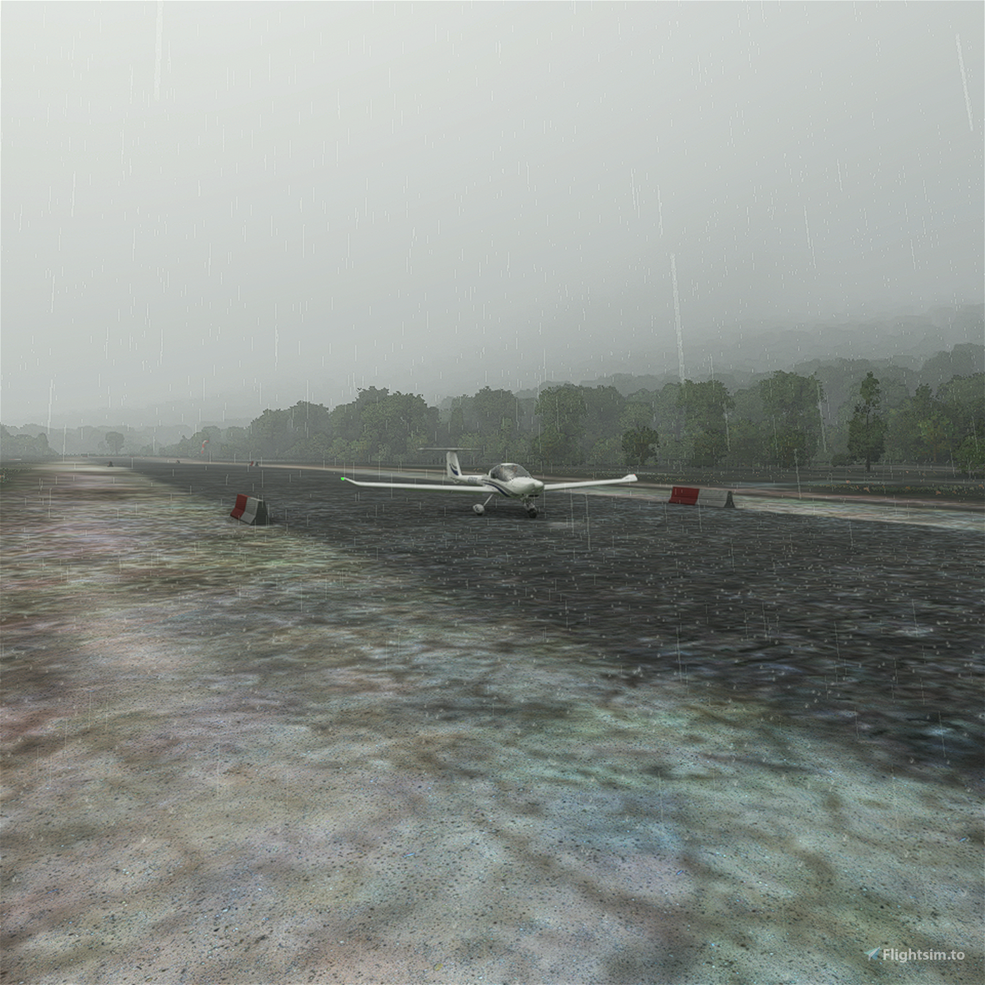
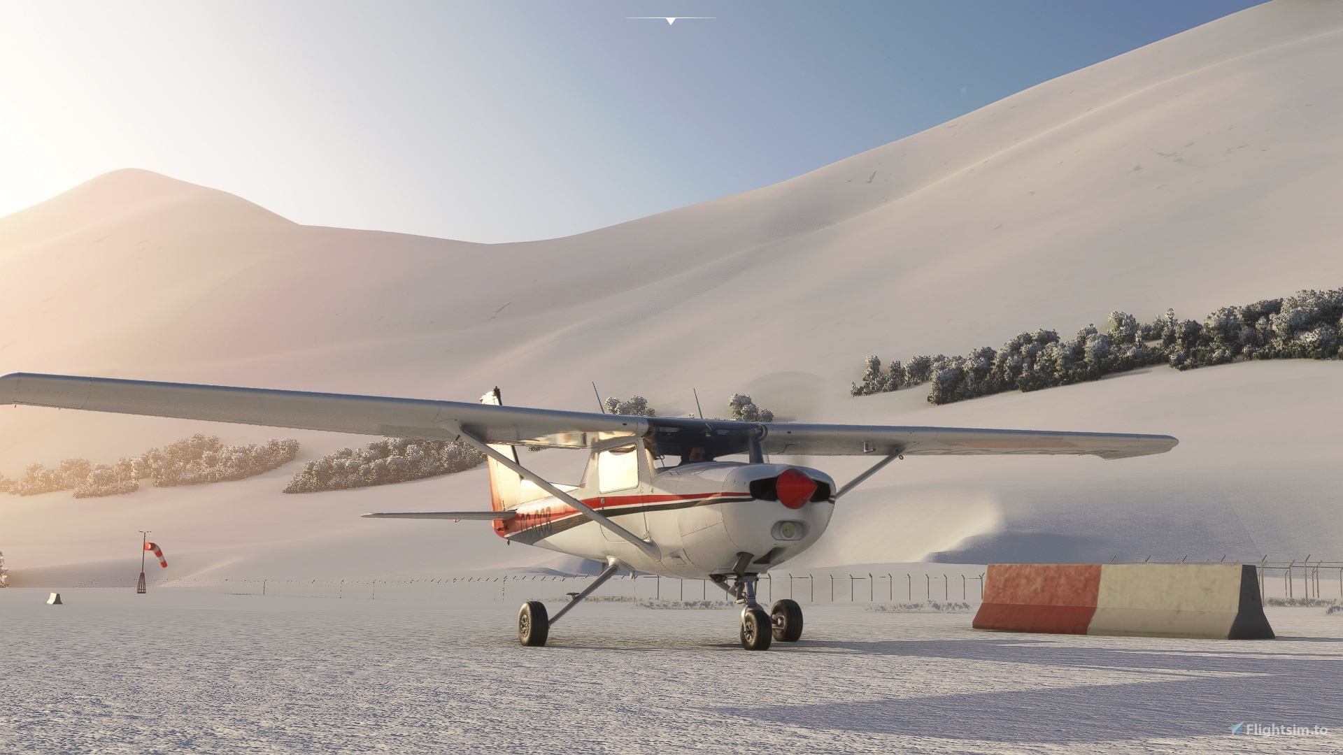
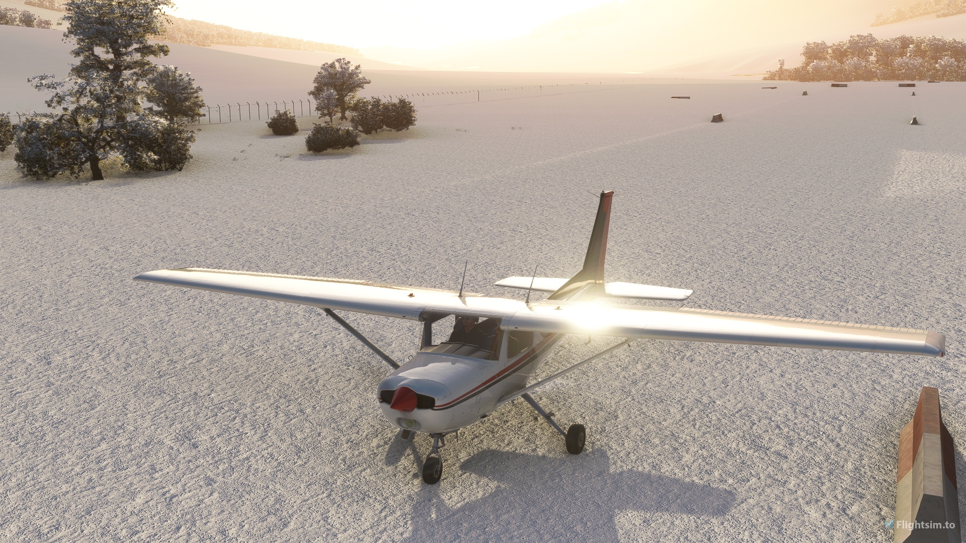
This airfield is located in the middle of a montainous and narrow valley, which is commonly accompained by crosswinds and low clouds, often being a challenge for landing and manouvering. Its runway (04/22) of dimensions 700 m x 18 m (2300 ft x 59 ft) has a slight slope (2.1°) and is made of gravel, as well as the small parking spot that exists for 1 airplane. As markers, the track has small red and white barriers every 100 m approximately, in addition to the ocassional one in the vicinity that was blown away by the wind. It is an airport for day operations given the lack of lights of any kind. In MSFS, SCIO is part of the 10th (from SCDV) and 11th leg (to SCOH) of the Los Cerros to Cochrane Bush Trip.
Important: This scenery does not include SCOH, SCTP or mayor fixes to the whole Lake O’Higgins area as in my newer upload “Lake O’Higgins Project”, so I recommend you to go check that one out in case you were interested. This scenery won’t be updated any further given my new upload (Lake O’Higgins Project) that includes everything here and much more.
To install: Just drop both folders included (the airport scenery folder and MrMo's EDHK library folder), into your community folder.
Version 1.0:
- New runway closer to reality (made of gravel instead of asphalt and with dimensions according to satellite images and DGAC). In addition, the boundary markers described in previously were added.
- A gravel parking space (apron) is also added, as well as a fence around the entire perimeter of the airfield.
- The two corresponding windsocks were added each to each end of the runway.
- The two default bridges that expanded over the Obstáculo River were removed given that they were too large and poorly located. They were replaced only by the new road segment that was added in the vicinity of the airport.
- The water was erased from one of the tributary streams of the Obstáculo River to the north of the runway as it was excessively wide and it distorted the forest.
- Water was added to a more than 200 Chilean and Argentinean lagoons/ponds and lakes not well represented originally in the vicinity of the aerodrome (including the mountain range) and edges of Lake O'Higgins. Plus, many other bodies of water present by default were fixed.
- Forest was added to the west slope of the valley since it was missing more than half of it.
- A yellow car was added near runway 04 as it was present in Bing Maps.
- Improvements to the Obstáculo River were made in the vicinity of the aerodrome, narrowing the channel and correcting the terrain and the adjacent forest.
* Posterior version's descriptions are included in the changelog and guide included in the download.
ESPAÑOL
Introducción:
El Aeródromo de Laguna Redonda es el terminal aéreo más meridional de la región de Aysén en Chile, ubicado aproximadamente a: 10 km (5,4 nm) al sur del pequeño asentamiento de Candelario Mancilla, 60 km (32 nm) al suroeste de Villa O'Higgins y 3 km (1,6 nm) norte de la frontera con Argentina. También se encuentra en medio de la ruta turística Villa O'Higgins - El Chaltén, donde cada vez más personas cruzan de Chile a Argentina por tierra y agua, cruzando el Lago O'Higgins y el Lago del Desierto, generalmente con el objetivo de llegar a los pies del Monte Fitz Roy desde Argentina.
Este aeródromo se encuentra en medio de un valle estrecho y montañoso, que comúnmente se acompaña de vientos cruzados y nubes bajas, siendo a menudo un desafío para el aterrizaje y maniobras. Su pista (04/22) de dimensiones de 700 m x 18 m (2300 pies x 59 pies) tiene una ligera pendiente (2.1°) y está hecha de ripio, al igual que el pequeño puesto de estacionamiento que existe para 1 avión. Como marcadores, la pista tiene pequeñas barreras rojas y blancas cada 100 m aproximadamente, además de una que otra en las inmediaciones que fue soplada por el viento. Es un aeropuerto para operaciones exclusivamente diurnas dada la falta de luces de cualquier tipo. En MSFS, SCIO es parte del 10° (desde SCDV) y 11° tramo (a SCOH) del Bush Trip de Los Cerros a Cochrane.
Importante: Este scenery no incluye SCOH, SCTP o cambios mayores para el área del Lago O’Higgins como sí lo hace mi nuevo scenery “Lake O’Higgins Project”, así que les recomiendo que le echen un ojo en caso de estar interesados. Probablemente este scenery no será actualizado más dado que mi nuevo upload (Lake O’Higgins Project) incluye todo lo que hay aquí y mucho más.
Para instalar: Tan solo mueve ambas carpetas incluídas (el scenery del aeropuerto y la carpeta de MrMo EDHK library) a la carpeta Community.
Versión 1.0:
- Nueva pista más cercana a la realidad (hecha de ripio en lugar de asfalto y con dimensiones según imágenes satelitales y la DGAC). Además, se agregaron los marcadores descritos anteriormente.
- También se añade un apron de ripio (estacionamiento para un avión), así como una cerca alrededor de todo el perímetro del aeródromo.
- Los dos windsocks correspondientes se añadieron a cada extremo de la pista.
- Los dos puentes predeterminados que cruzaban sobre el río Obstáculo fueron retirados dado que eran demasiado grandes y estaban mal ubicados. Sólo fueron reemplazados por el nuevo segmento de carretera que se añadió en las inmediaciones del aeropuerto.
- El agua fue borrada de uno de los arroyos afluentes del río Obstáculo al norte de la pista, ya que era excesivamente ancho y distorsionaba el bosque.
- El agua se añadió a más de 200 lagunas/estanques y lagos chilenos y argentinos que no estaban bien representados originalmente en las cercanías del aeródromo (incluida la cordillera) y los bordes del Lago O'Higgins. Además, muchos otros cuerpos de agua presentes por defecto fueron reparados.
- Bosque se añadió a la ladera oeste del valle ya que faltaba más de la mitad.
- Se realizaron retoques y cambios en términos de terreno, barcos y edificios en Calendario Mancilla y alrededor del Lago del Desierto.
- Un vehículo amarillo fue añadido cerca de la pista 04, ya que estaba presente en Bing Maps.
- Se realizaron mejoras en el río Obstáculo en las cercanías del aeródromo, estrechando el canal y corrigiendo el terreno y bosque adyacente.
* La descripción de versiones posteriores está incluida en inglés en el changelog y en español en la guía que incluye esta descarga.


theitaliancat
werepug author
3 years ago
DanielMSFS
nelmonteal
werepug author
3 years ago
figue52
werepug author
4 years ago