


Bastia is a commune in the department of Haute-Corse, Corsica, France. It is located in the northeast of the island of Corsica at the base of Cap Corse. It also has the second-highest population of any commune on the island after Ajaccio and is the capital of the Bagnaja region and of the department.
Bastia is the principal port of the island and its principal commercial town and is known for its wines. The inhabitants of the commune are known as Bastiais or Bastiaises. Approximately 10% of the population are immigrants. The commune has been awarded three flowers by the National Council of Towns and Villages in Bloom in the Competition of cities and villages in Bloom.
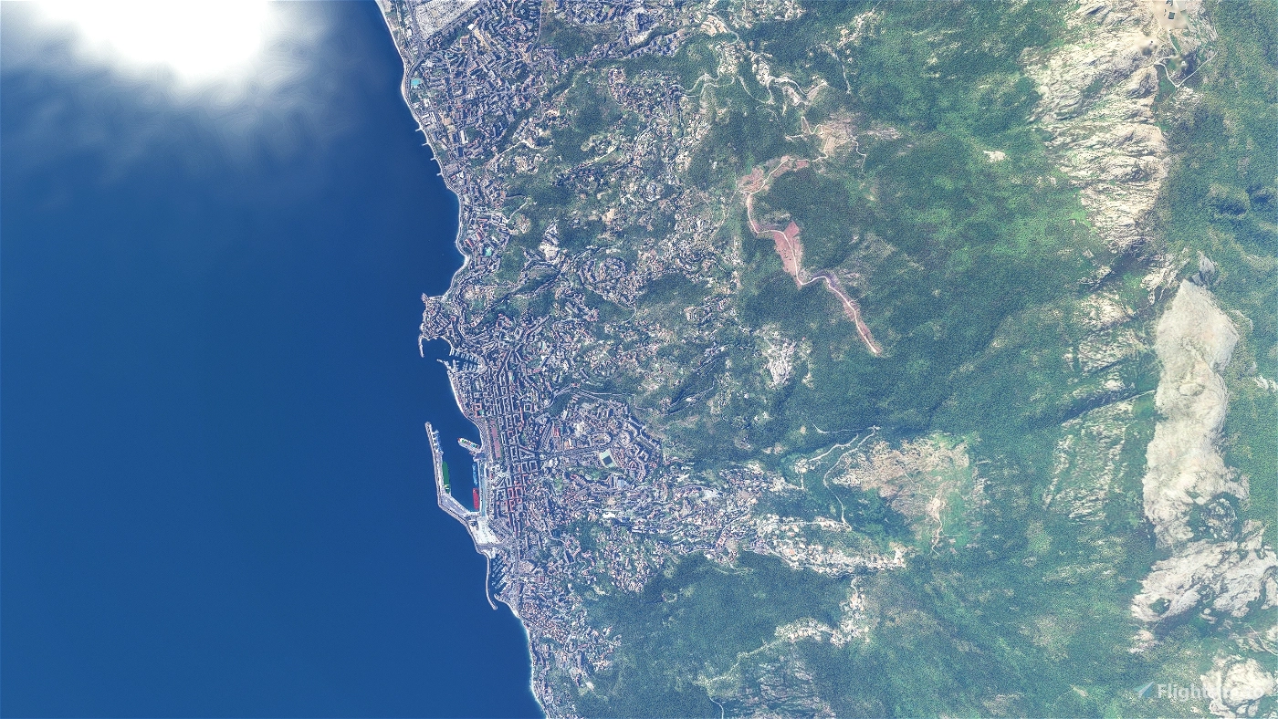
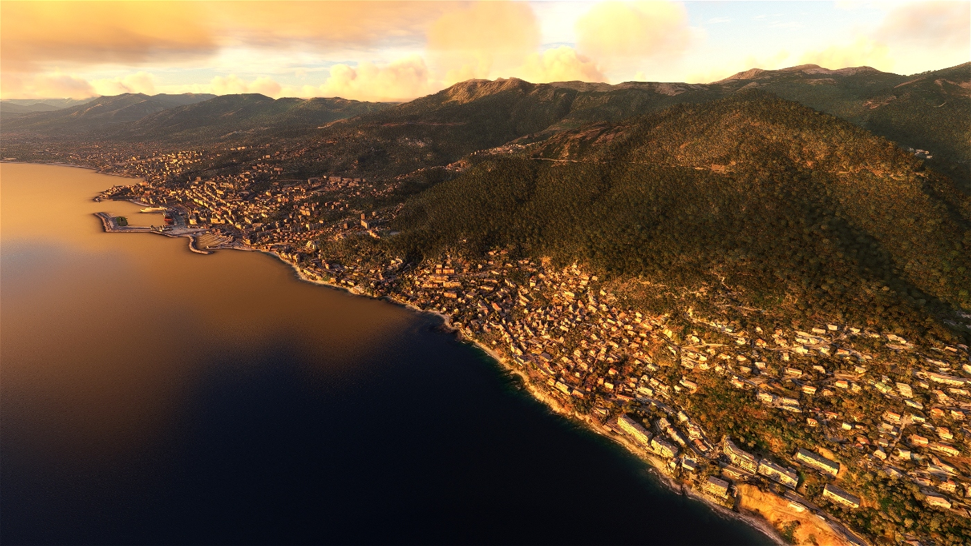
Located in the North-East of Corsica at the base of the Cap Corse, between the sea and the mountain, Bastia is the principal port of the island. The city is located 35 km (22 mi) away from the northern tip of the Cap Corse, 50 km (31 mi) west from Elba, an Italian island, and 90 km (56 mi) away from continental Italy which can be seen a few days per year when visibility is excellent.
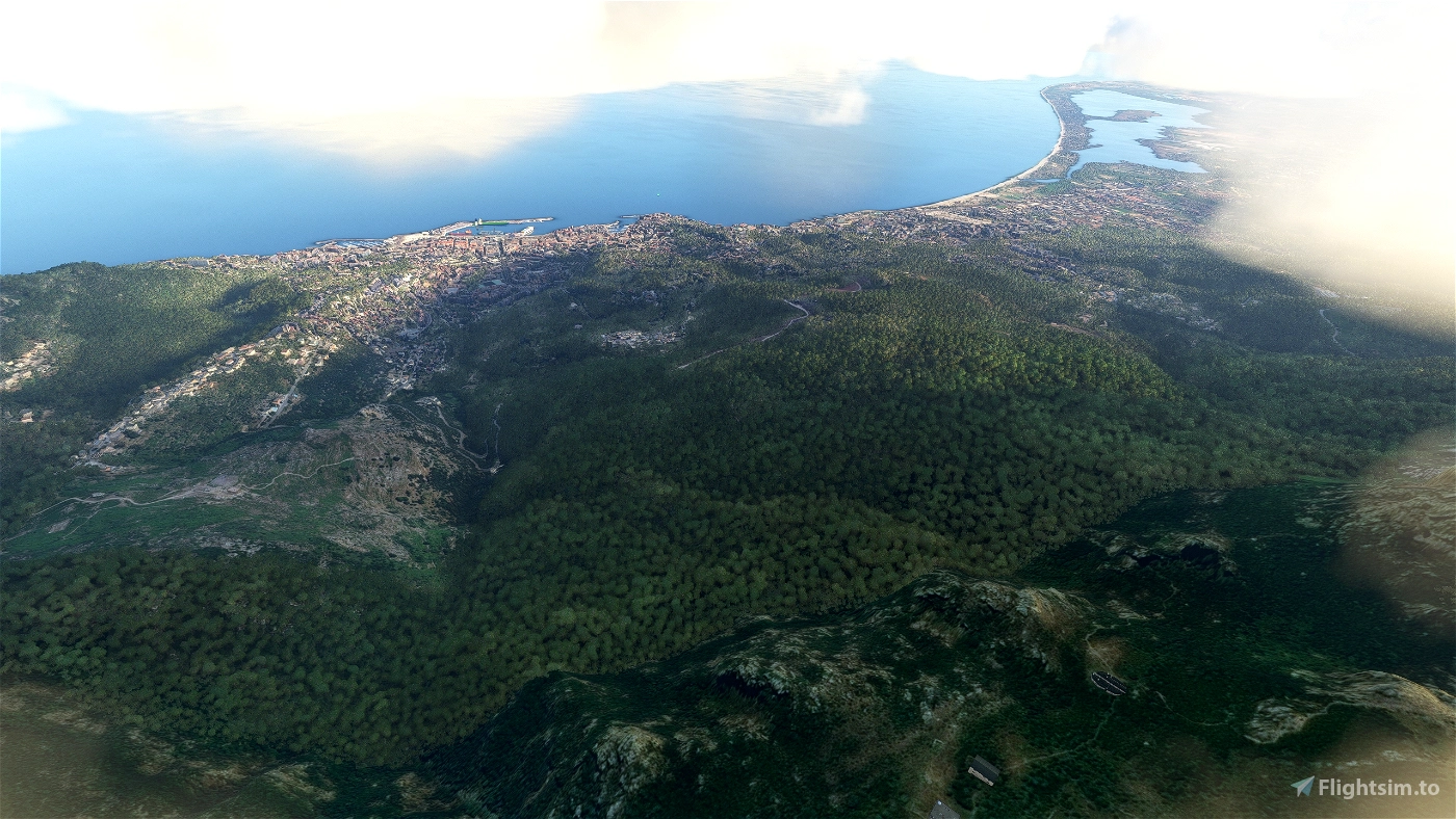
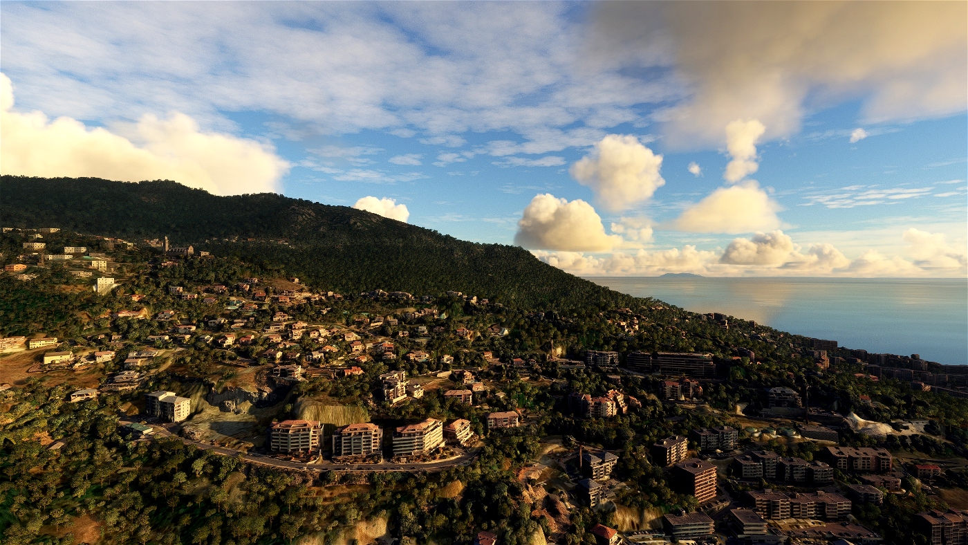
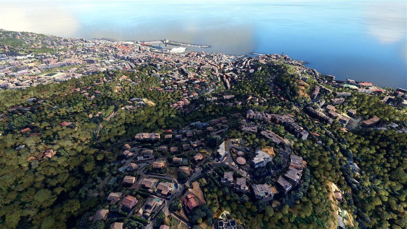
In terms of geography, Bastia is defined by its position between the sea and the mountain. The city is located on the Eastern side of the "Serra di Pignu", a 960 m (3,150 ft) mountain (see photo opposite). This steep mountain and several hills in the city shape a relief typical of the Cap Corse. This pronounced landscape caused the city to develop mostly on a coastal band about 1.5 km (1 mi) wide, which is a very limited part of the 19.38 km2 (7.48 sq mi) that the commune has.
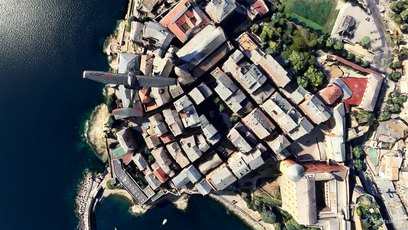
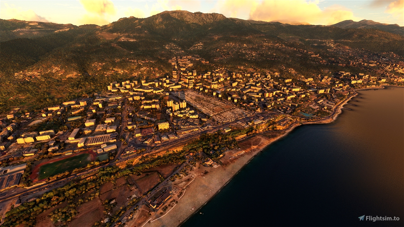
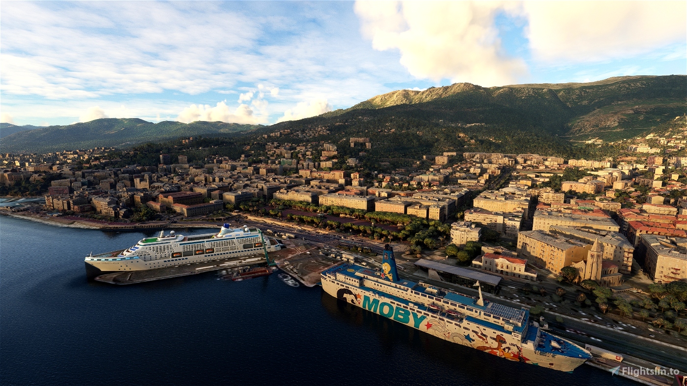
Above all, Bastia is a port, and the sea has of course a significant role in the spatial organization of the city. Bastia possesses nowadays three different ports. The old port ("Vieux Port" in French and "Portu Vechju" in Corsican), located in a remarkable and narrow cove, offers good natural shelter against the climatic hazards of the Mediterranean Sea. Thus, it was at the core of the initial development of the city. Nowadays, many pleasure and fishing boats are still there, but it is not as economically vital than the other more modern ports, although its touristic and aesthetic charm almost makes the old port the official emblem of the city. In fact, many cafés, bars and restaurants have moved to its docks to which access is granted by the city for pedestrians only during summer evenings.
GPS: 42° 42′ 2.88″ N, 9° 27′ 1.08″ E
Credits:
Microsoft and Asobo for this fantastic MSFS software.
This scenery has been extracted from Google Maps, hence all 3D credits goes to Google.
This scenery has been generated with the Google Earth Decoder tool (credits to /u/Jonahex111):
This scenery has been optimized and integrated to MSFS with my tools.
https://www.reddit.com/r/FS2020Creation/comments/j3faaj/google_earth_decoder_now_userfriendly/
Addon history:
v1.0: initial release
Installation:
Download the main file. Extract the content of the archive into the Community folder.
If you want to donate, you will always be welcome to help me continue with more projects and update the existing ones https://paypal.me/Thalixte.

 Thalixte


Canarias
yoyo2a
Thanks for ur work 😉
prevenchere
Thalixte author
7 months ago
Archer374
Thalixte author
7 months ago