Summary AI Generated
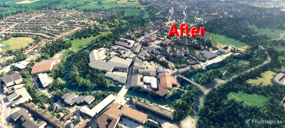
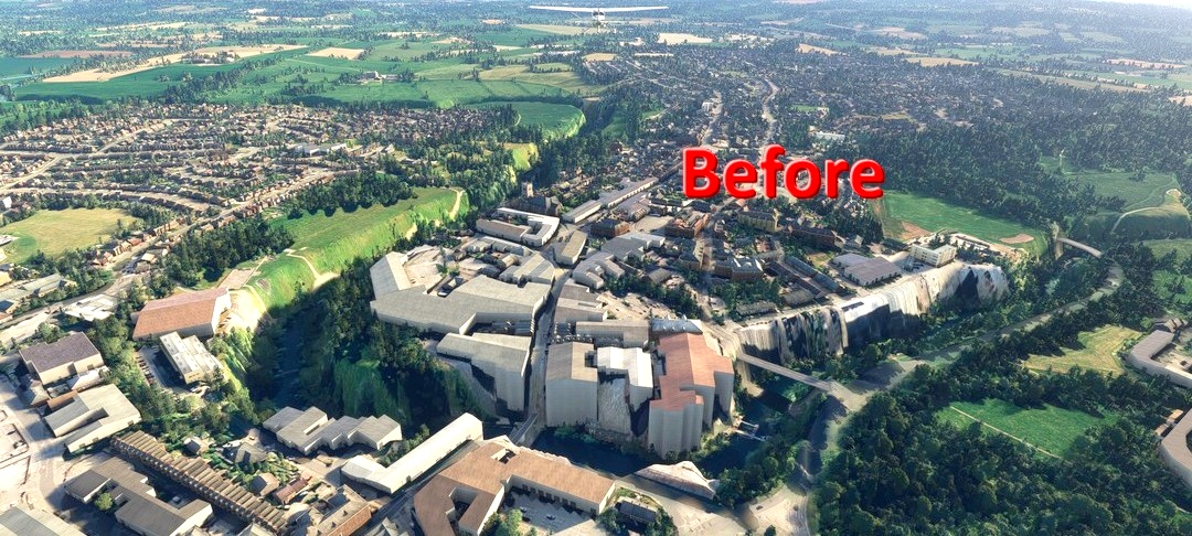
A correction for the River Avon elevation data at Chippenham, Wiltshire in MSFS, flattening the ground level for 200m around the river. The fix eliminates the deep trench running through the town, with only minor discrepancies in surrounding fields. Compatible with custom scenery within the specified range, this add-on covers from Lacock in the West to the Railway Path in the East.
