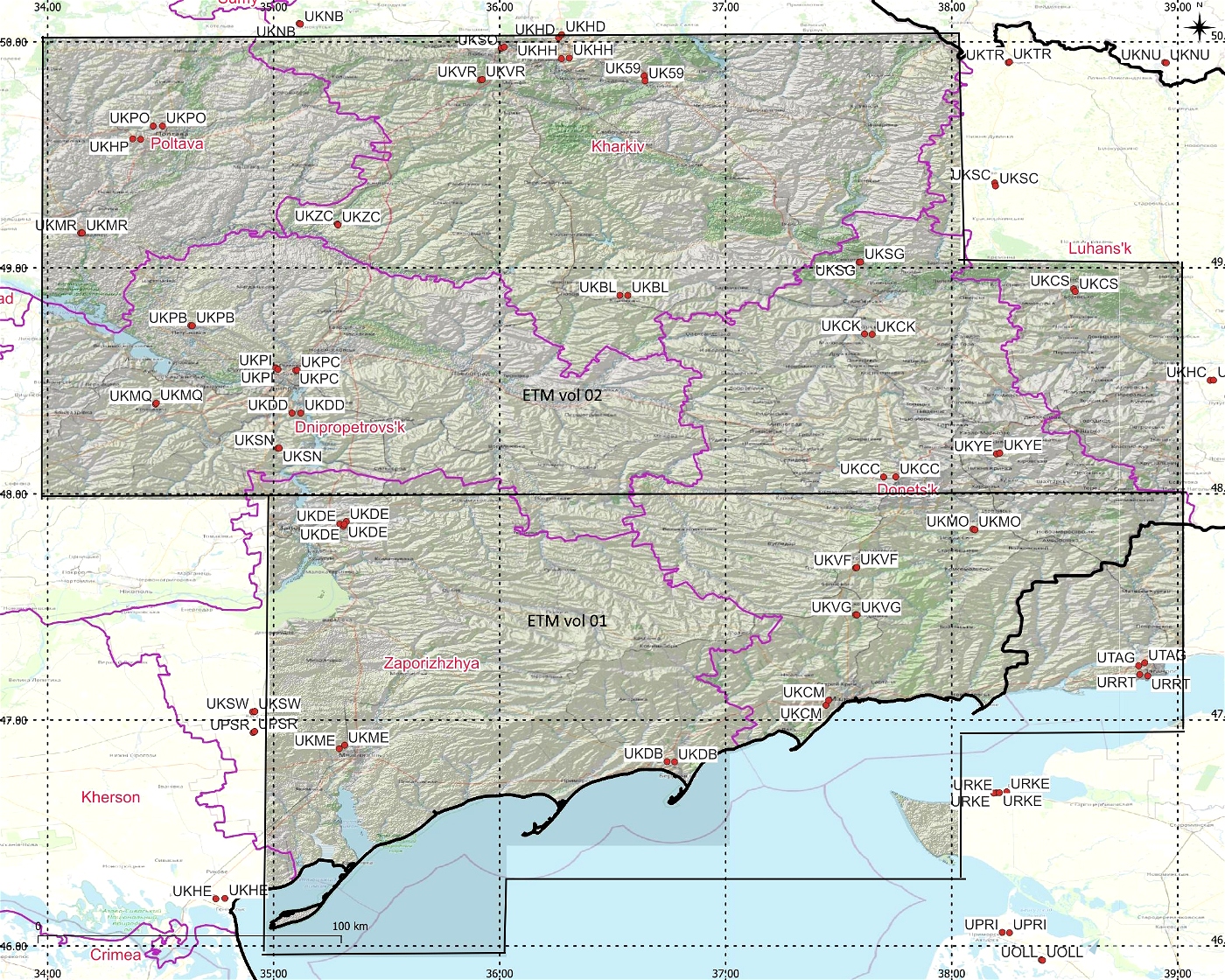
DEM / ETM10 Enhanced Terrain Mesh 10m for Ukraine vol 02 Kharkiv - version 2.0.1
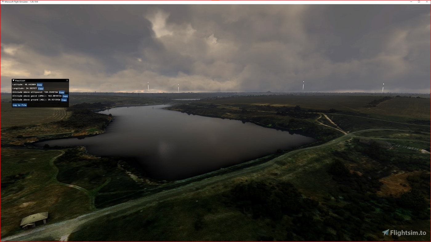
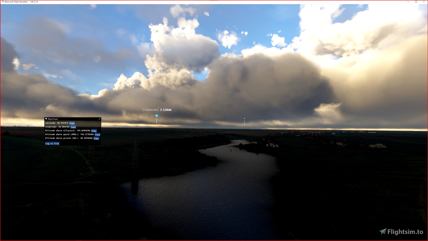
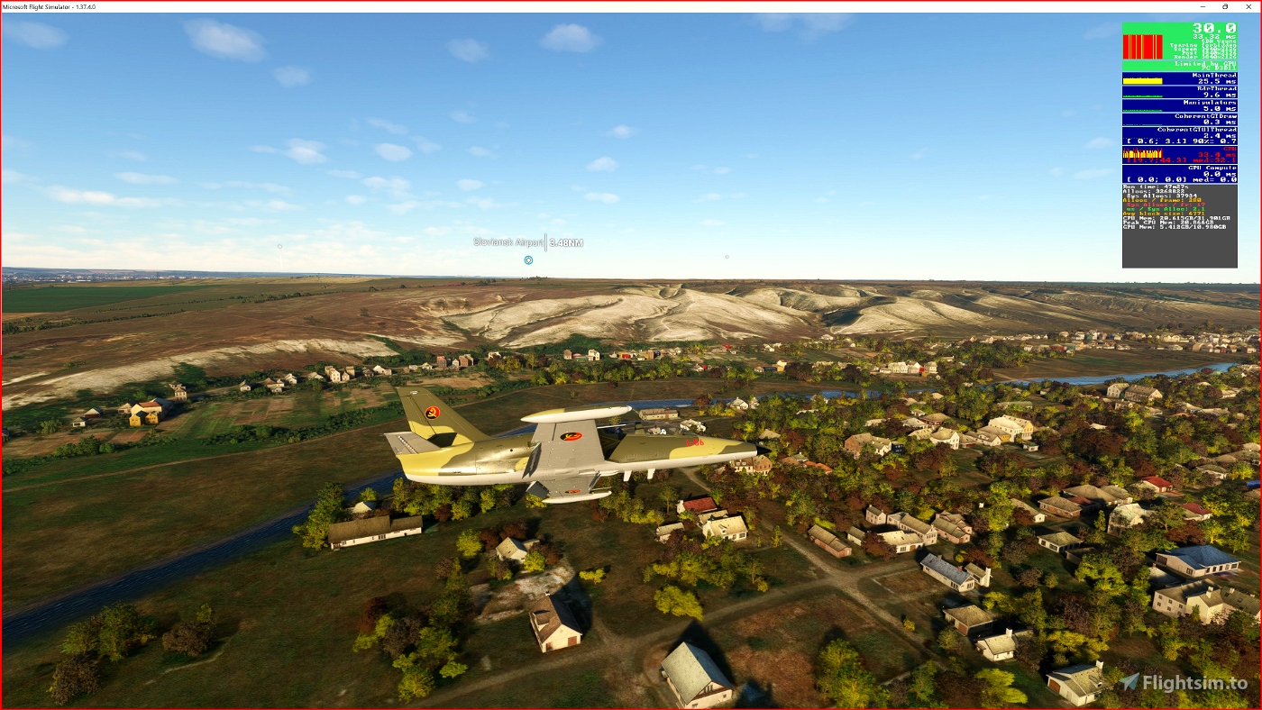
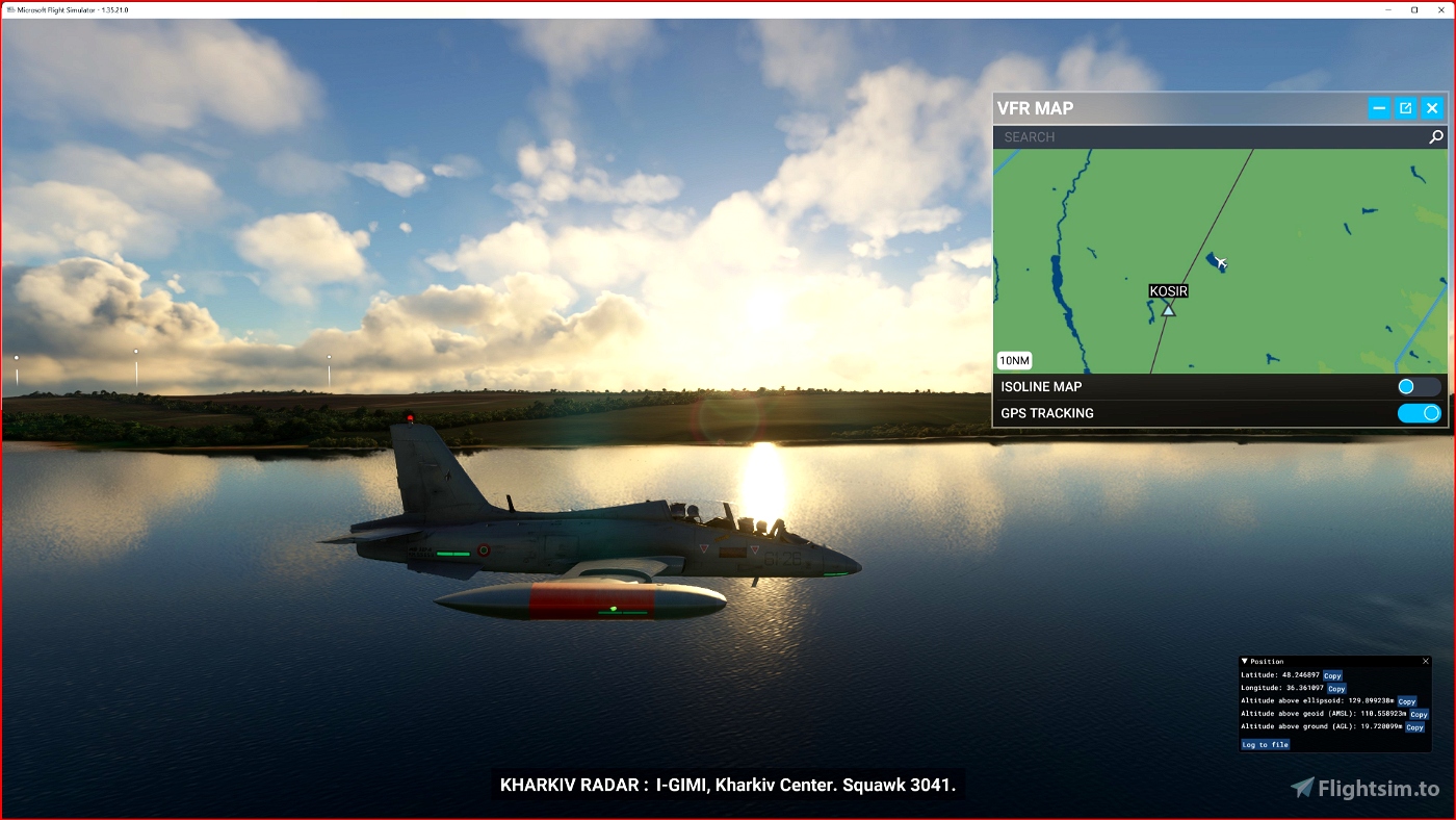
This is an Enhanced Terrain Mesh derived from Sentinel-1A mission of the European Radar Observatory for the Copernicus joint initiative of the European Commission (EC) and the European Space Agency (ESA), 10 meters. Mainly the area covered by this terrain mesh is related to the region of ... see coverage map.
Affected Sceneries
Any large Payware and Freeware Airport I could think of, has been excluded from the mesh. So hopefully the glitches will be minimal.
Please report any bugs with sceneries or airports and I will see what I can do!
Created using MSFS Toolkit by Nool Aerosystems (MSFS Toolkit).
This release introduces flattening for all bodies of water. (Thanks to @Henrikx)
On Discord: ItalianCharter Team // Gjanosh61#9850
Please don’t feel as though you have to, but if you wanted to buy us and the team a coffee to support the work. Thank you very much.
https://www.buymeacoffee.com/gjanosh

 Gjanosh61


ThelynxPA
Gjanosh61
FlyingCossack
4 months ago
iker84
51.35461248143853, 30.03905228233831
(a little more down is kyiv if you want too, but with this zone in link im the most happiest person in universe 😊)thanks man
Gjanosh61 author
5 months ago
Andrew99030
Gjanosh61 author
5 months ago
iker84
you can make mesh from chernobyl zone? thanks!!!
Gjanosh61 author
5 months ago
JohnG
Slava Ukraini!
Gjanosh61 author
5 months ago
FlyingCossack
Gjanosh61 author
5 months ago