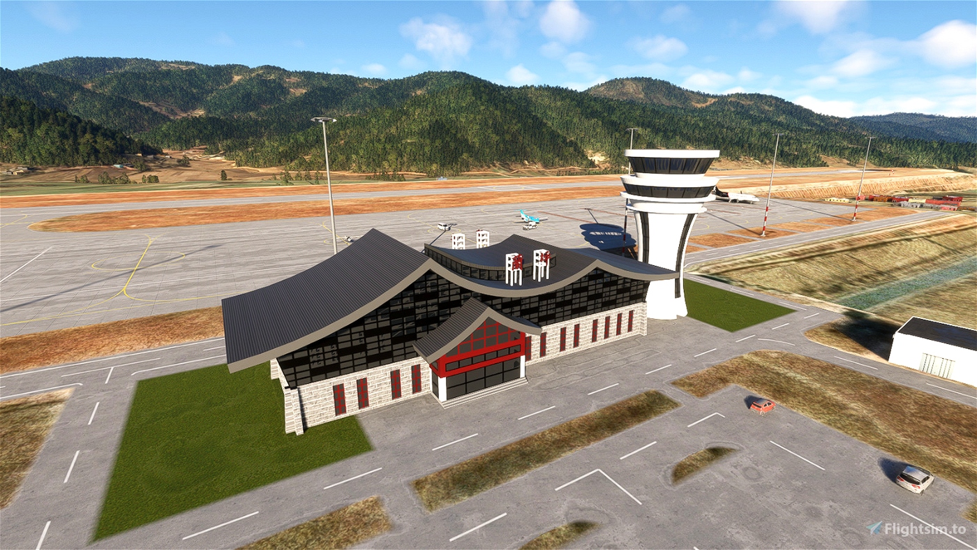
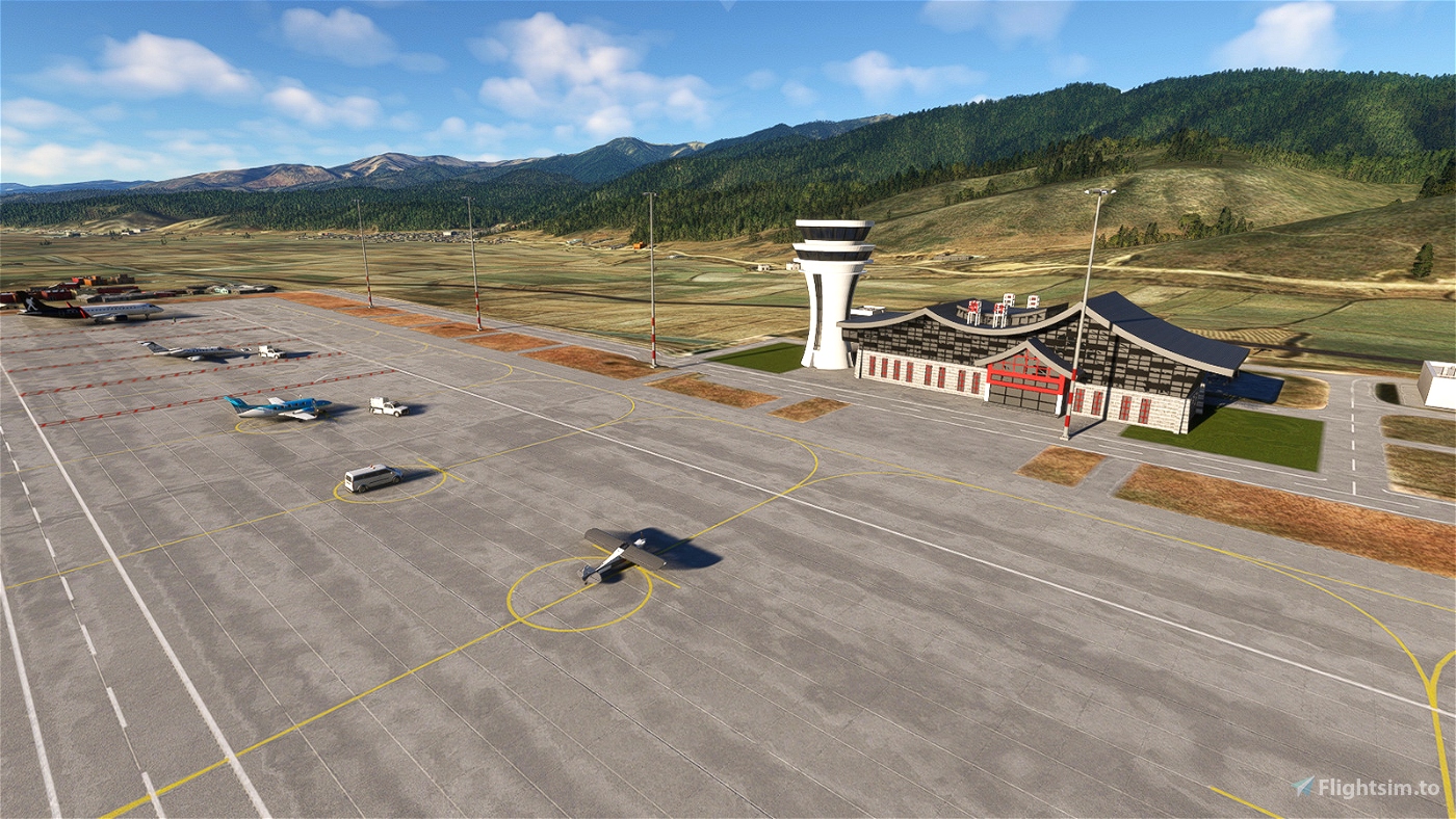
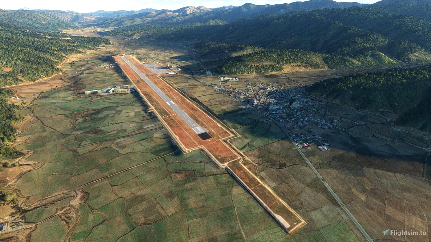
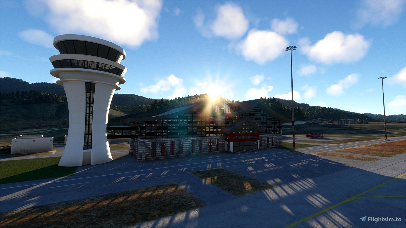
Lanping (Fenghua) Airport is a GA airport in Yunnan Province of China, located in vicinity of the border between China and Myanmar. Although it is classified as a GA airport, it features a formal terminal as well as control tower, with complete ground services. No radio based navaids like ILS or VOR are observed around airport area, but there should be some kind of instrument approaches in view of approach lighting and the landscape surrounding the airport, where high mountain ridges are present at both sides of the airport. Arbitrary tower frequency and ICAO ident (ZPLP) are assigned as the real one is unknown.
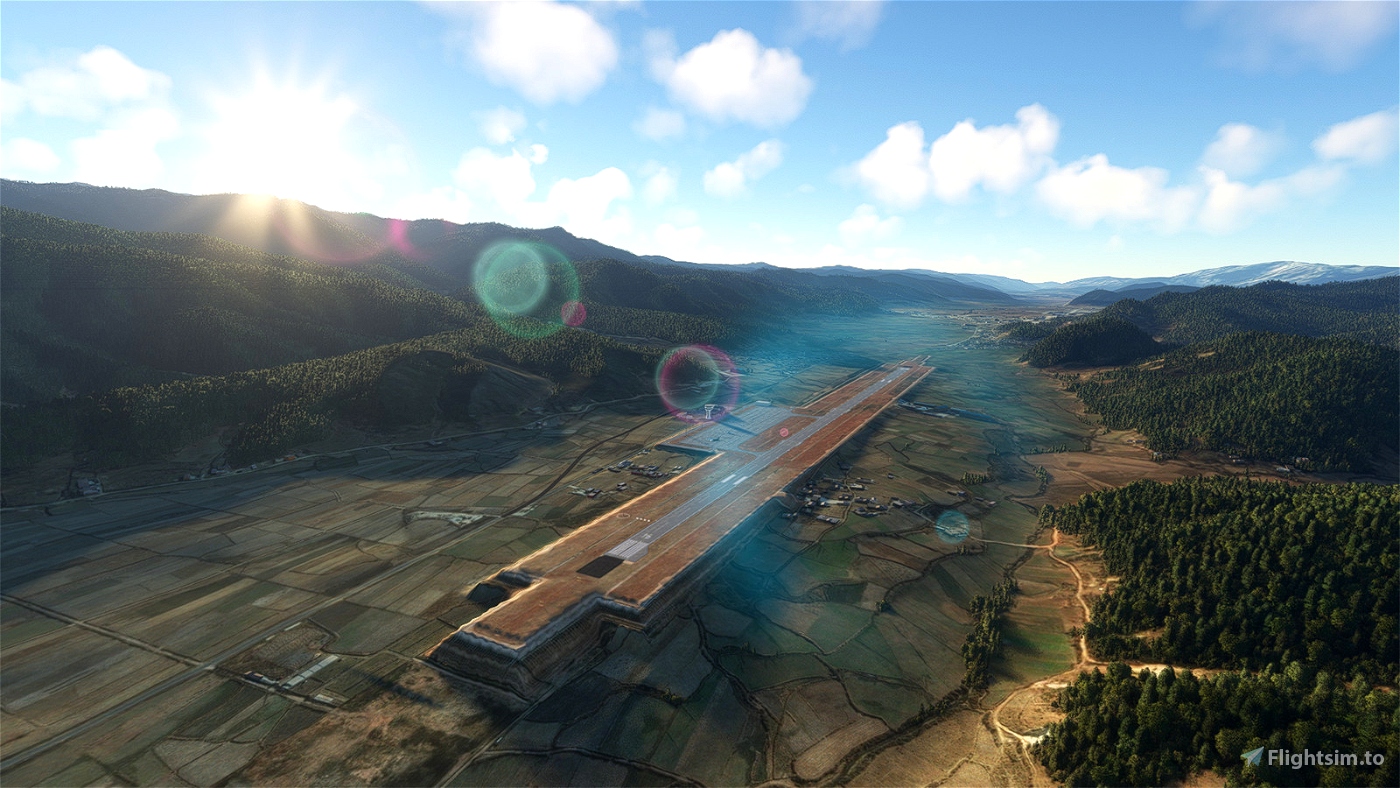
Although the runway of the airport is as long as 1800m, the largest aircraft you can takeoff is ATR42 with some penalty on takeoff weight as the elevation of the airport is above 8000ft. There are hilly terrain just beyond the north end of the runway, I don't know whether it is allowed to takeoff from Runway 34 and landing on Runway 16, but it is not straight-in (or straight-out) and only Category A aircraft can do it safely according to test flights.
Limitations:
- Terraforming at the north end of the runway (threshold of Runway 16) doesn't look good when looking close. Looking for new methods to make it better.
- No instrument procedure is provided at the moment as I need to "design" them by studying the landscape for possible routes. I know nothing about the real one as the aeronautical information about domestic airports in China are classified as national secrets.
Navigation
You can get into the airport from "LJA" VOR, or waypoint "UKDAB" or "NIVUX" along airway L888. You are advised to fly above 16000ft and start your descent when you arrived the valley where the airport is located.
You may also have interest on the other Chinese airports made by me:
--
Welcome to subscribe my channels for MSFS live game-play:
https://www.youtube.com/channel/UC21efZOlIujoYpzzCGoiYfQ
https://www.twitch.tv/kychungdotcom

 kychungdotcom


Wakanda
dovanCSN6901