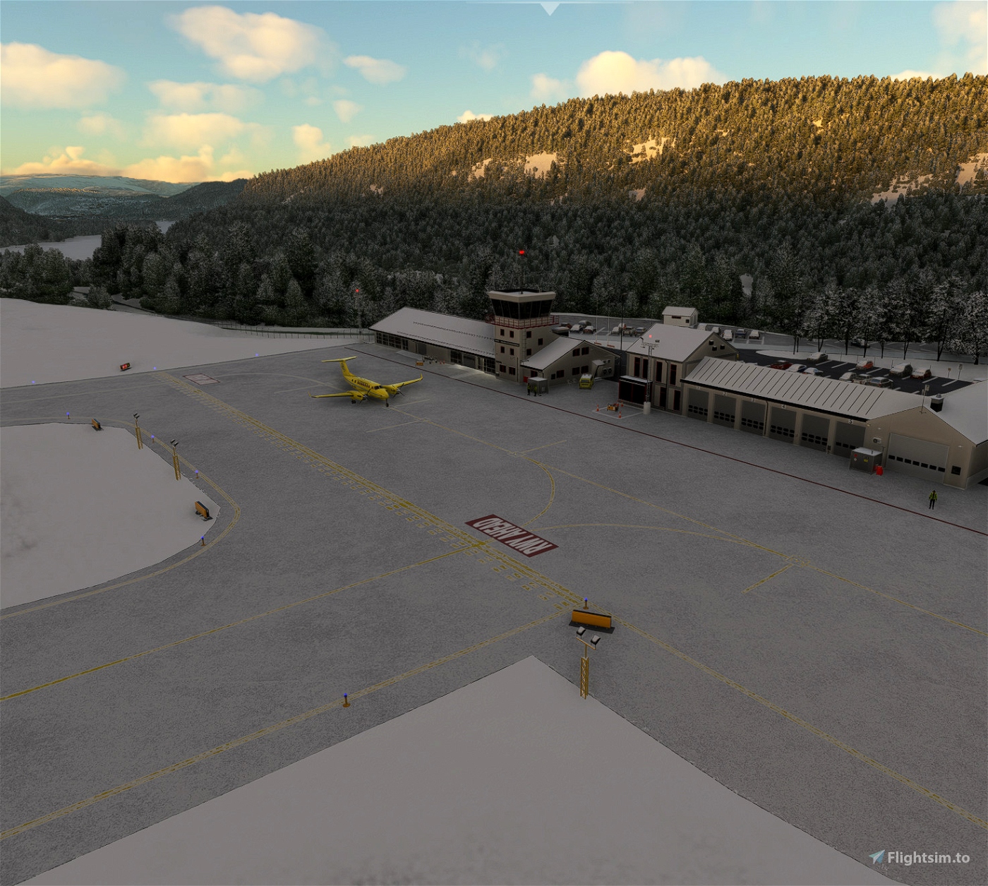
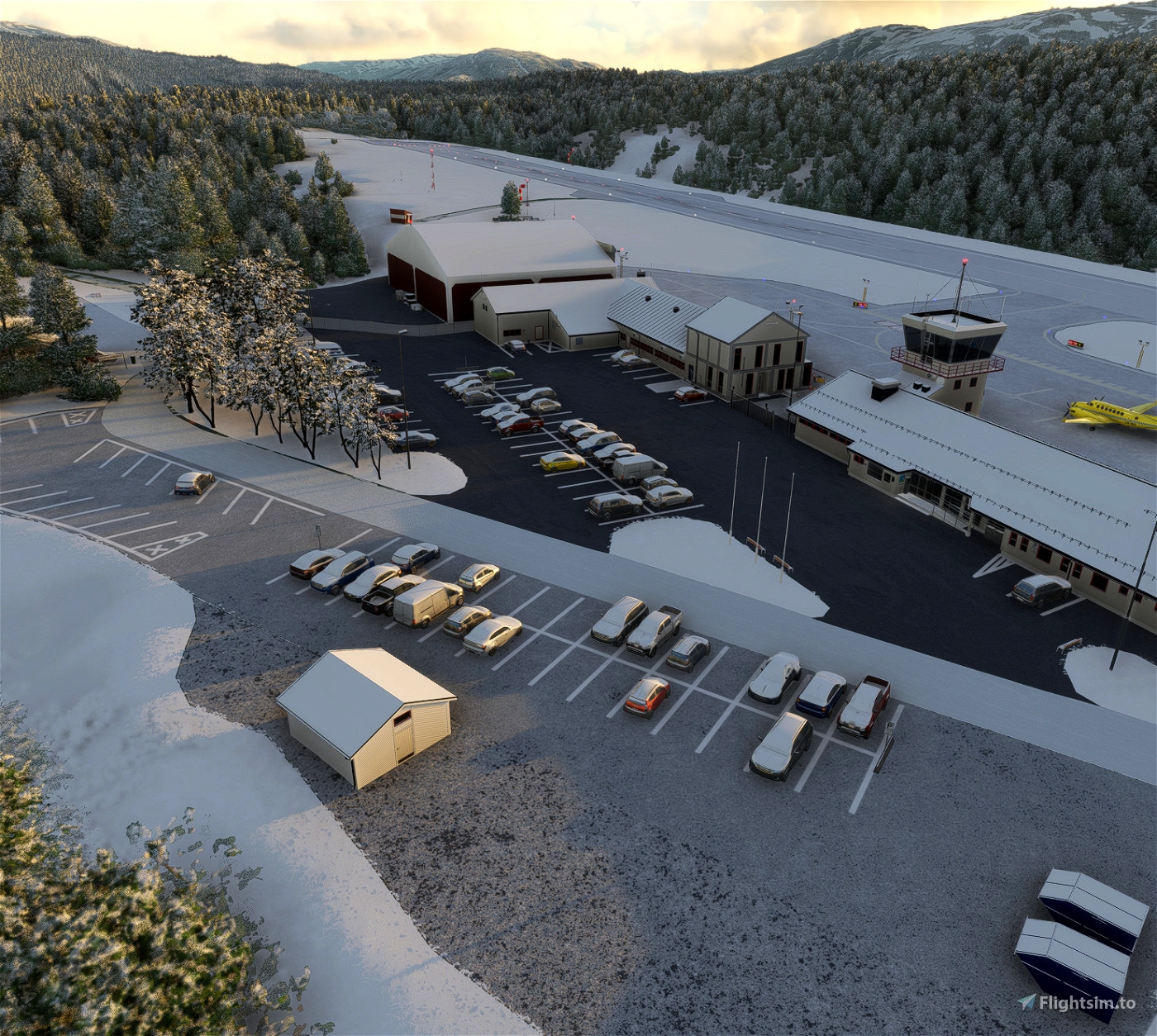
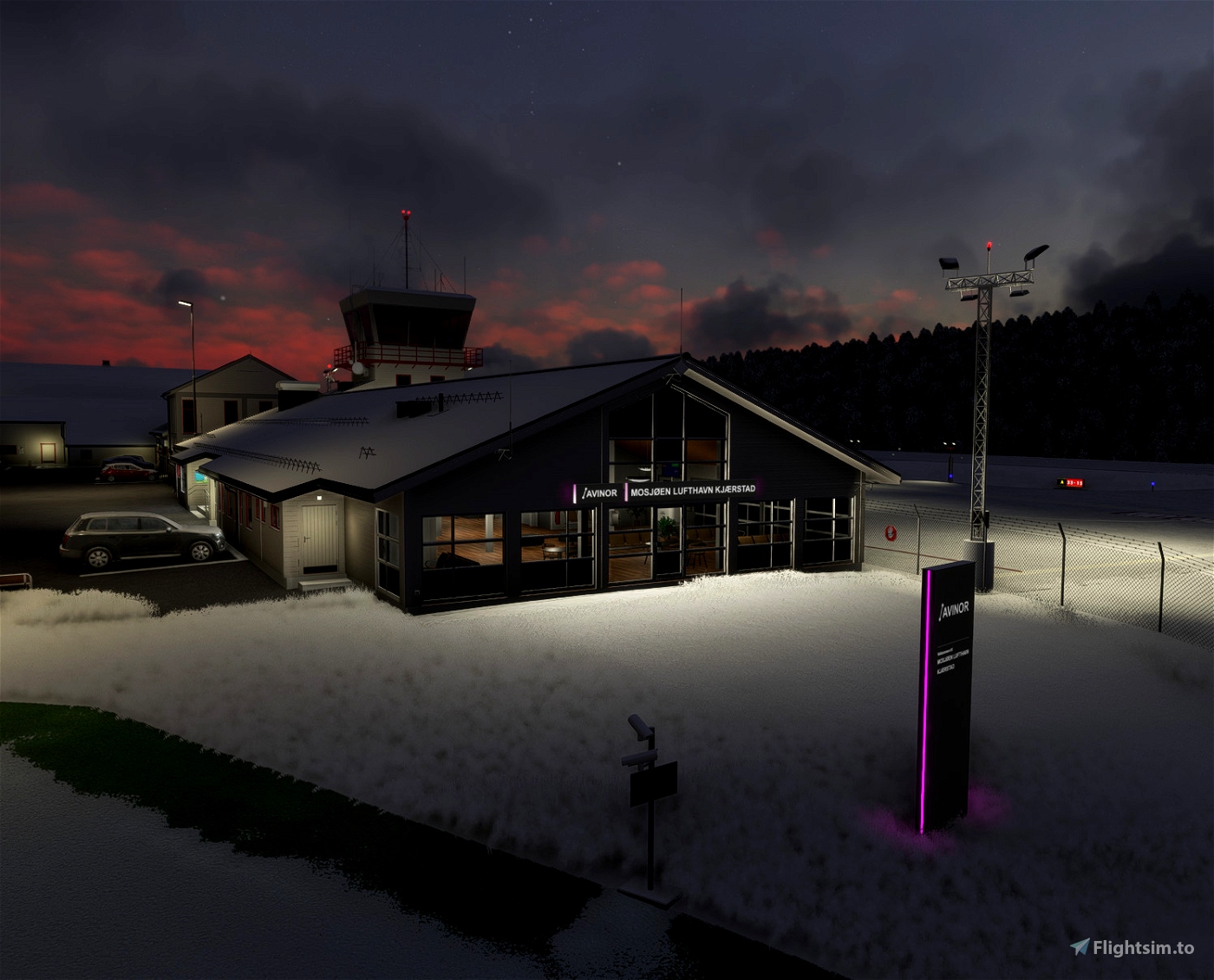
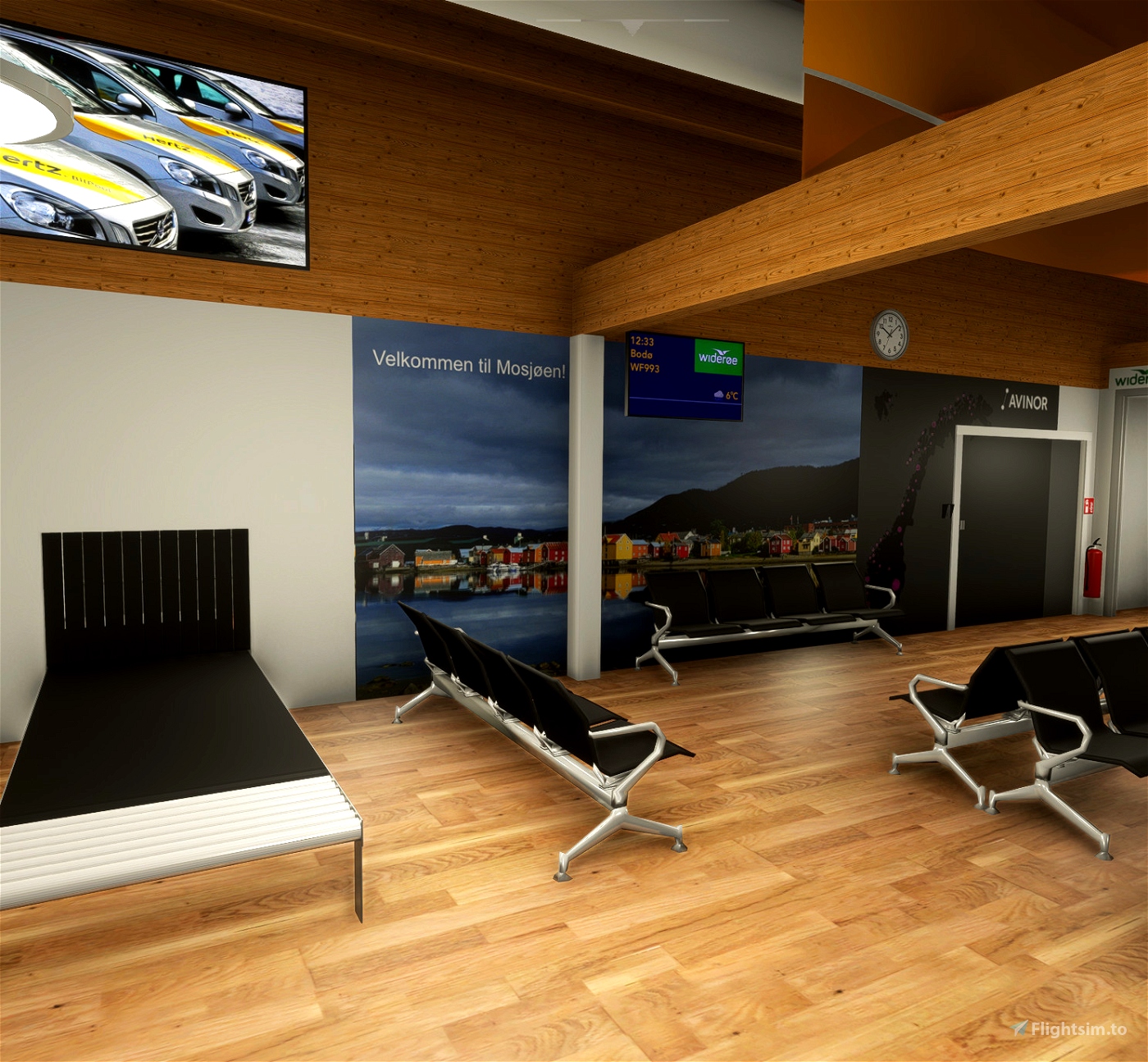
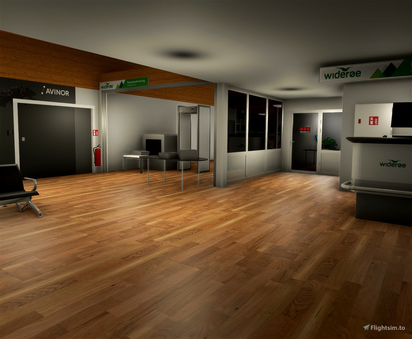
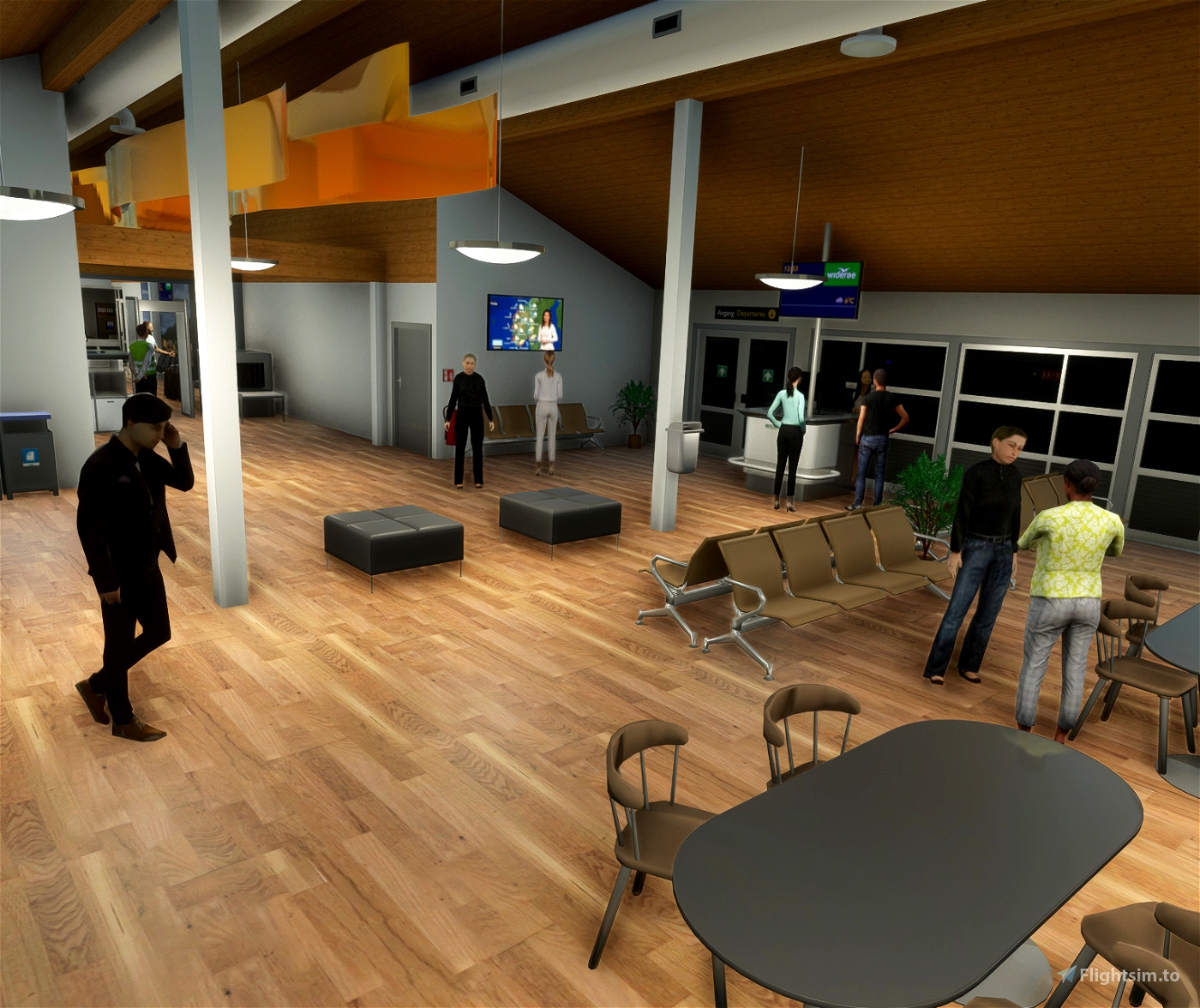
ENMS - Mosjøen airport.
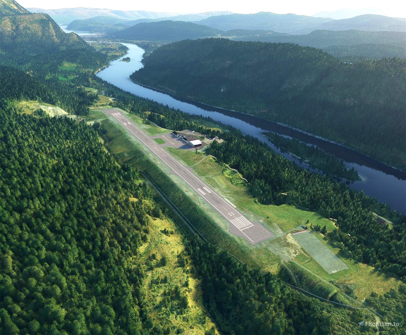
Mosjøen Airport is a regional airport serving the town of Mosjøen in Vefsn Municipality in Nordland county, Norway. In 2014, Mosjøen Airport had 61,480 passengers. It is owned and operated by the state-owned Avinor.
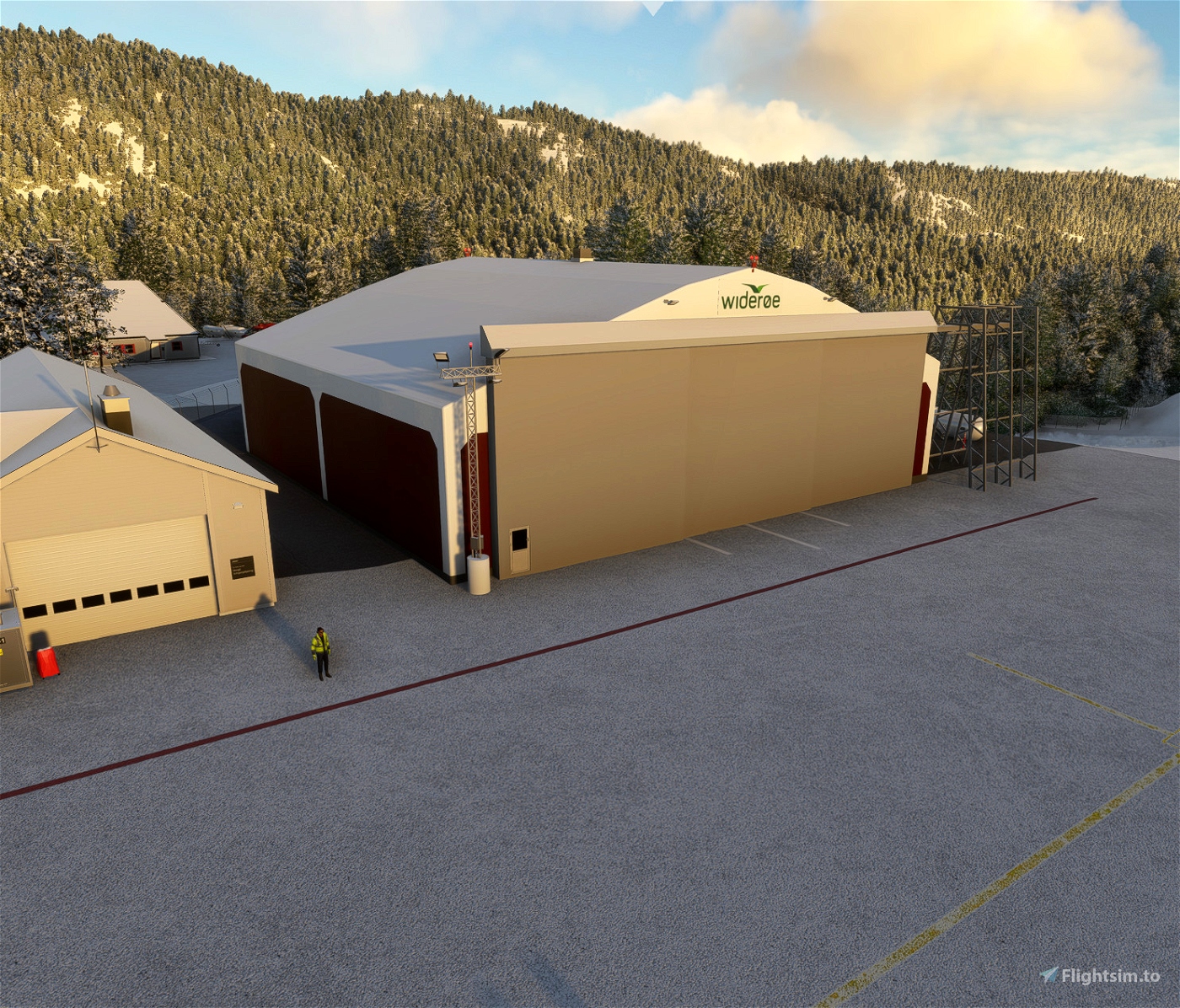
The airport is served by Widerøe with Dash 8 aircraft connecting the community to the nearby towns of Bodø and Trondheim. The routes are operated on public service obligation with the Ministry of Transport and Communications.
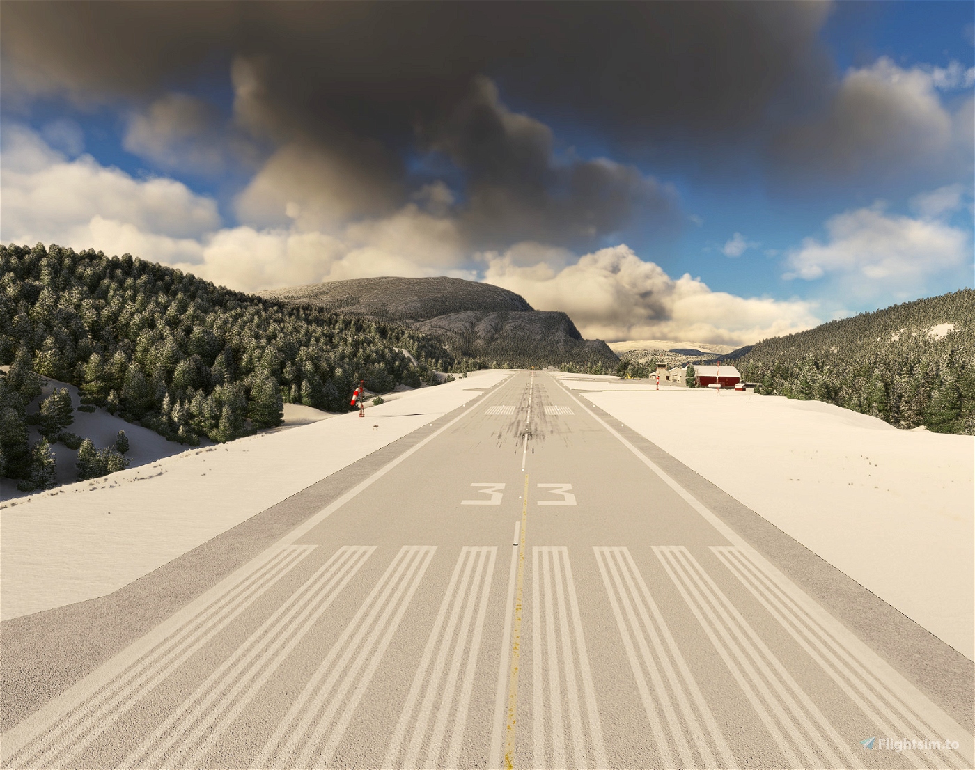
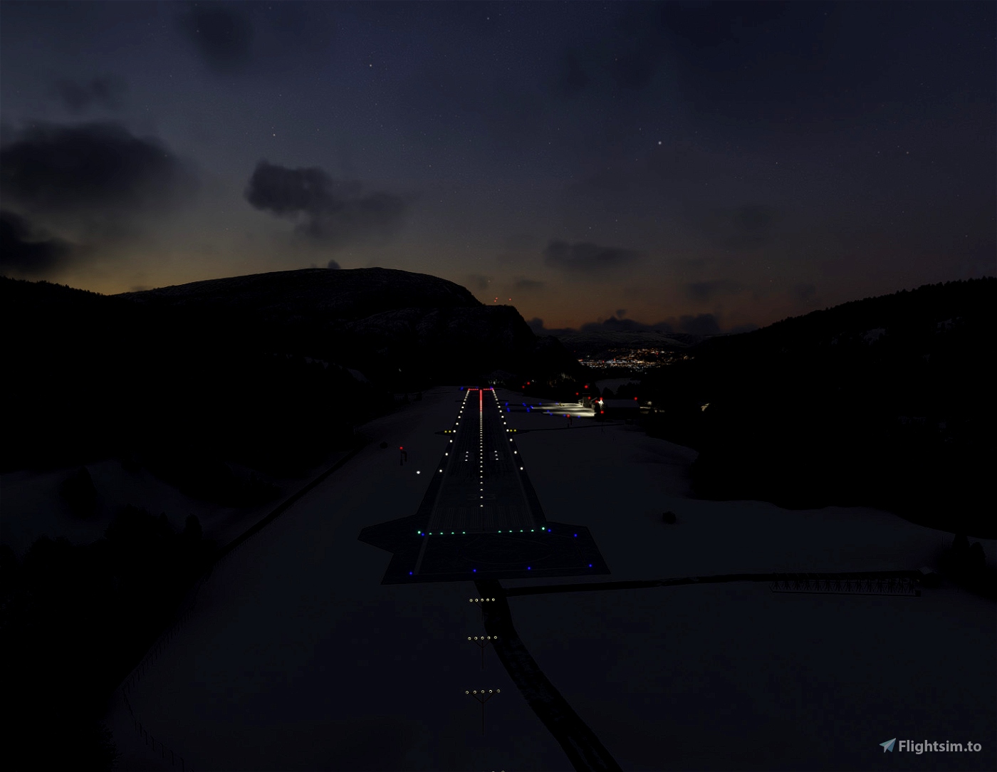
The location of the airport can make approaches difficult during low visibility. To the north of the airport at a range of apx. 2,9 nm, you find the montain Stortuva with an elevation of 818,9 m. Approach to RWY 15 and departure from RWY 33 must be done with a offset to stay clear of the high terrain.
Package content:
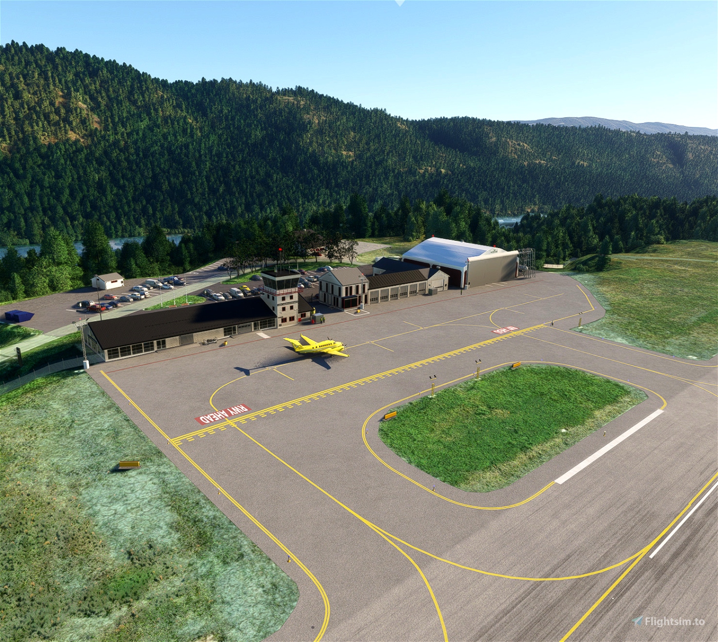
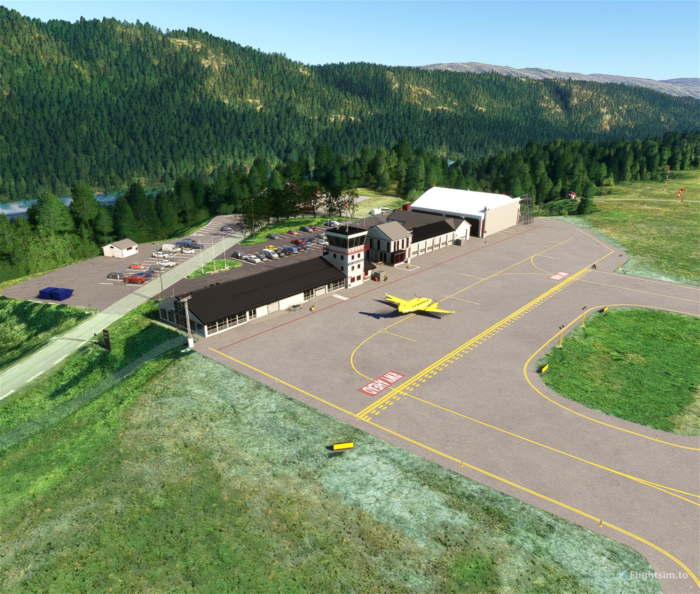
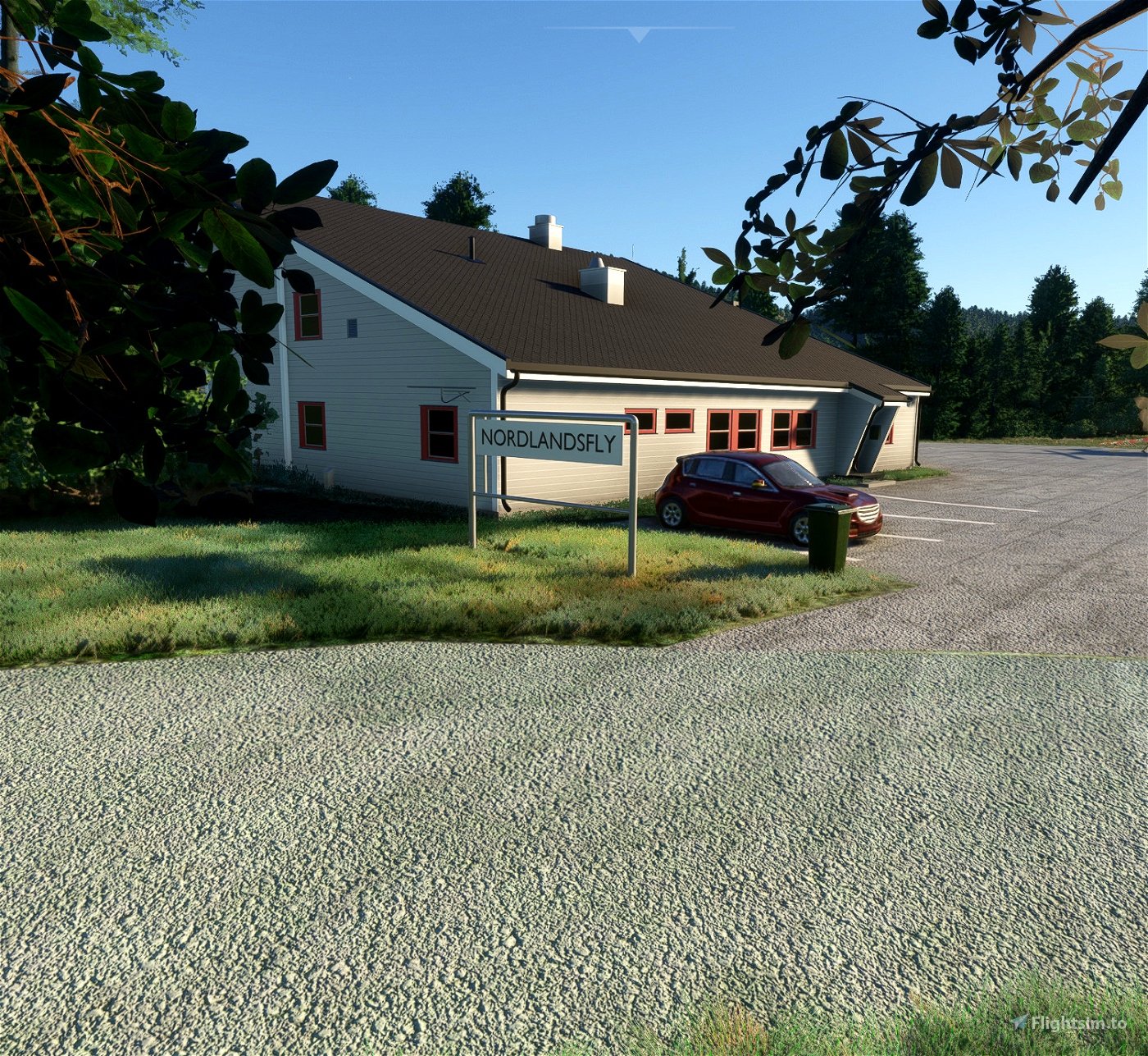
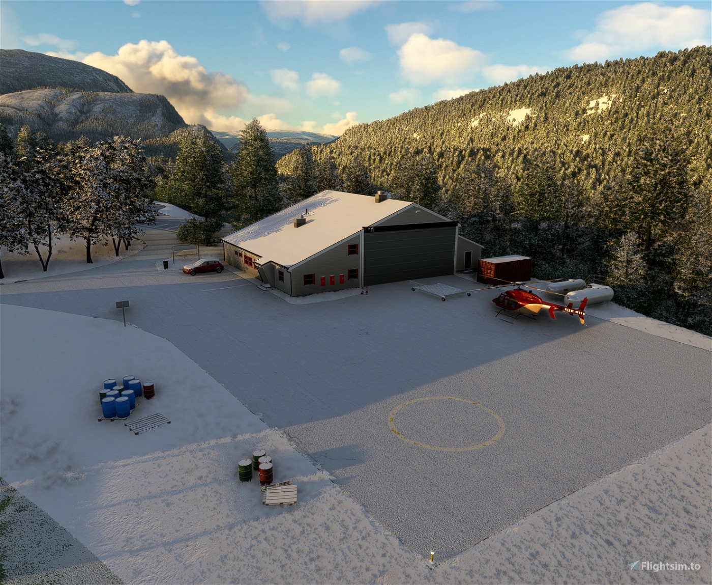
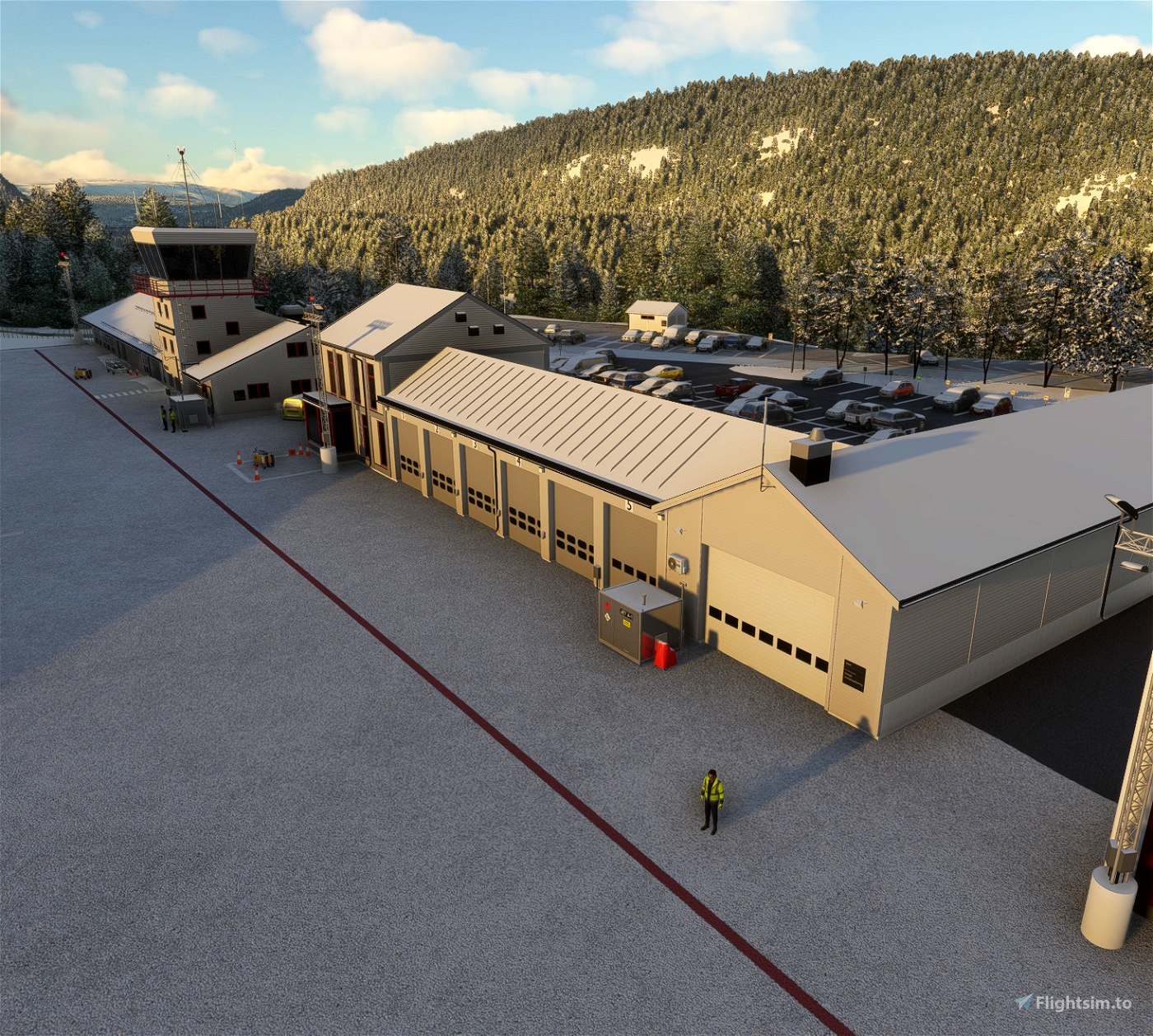
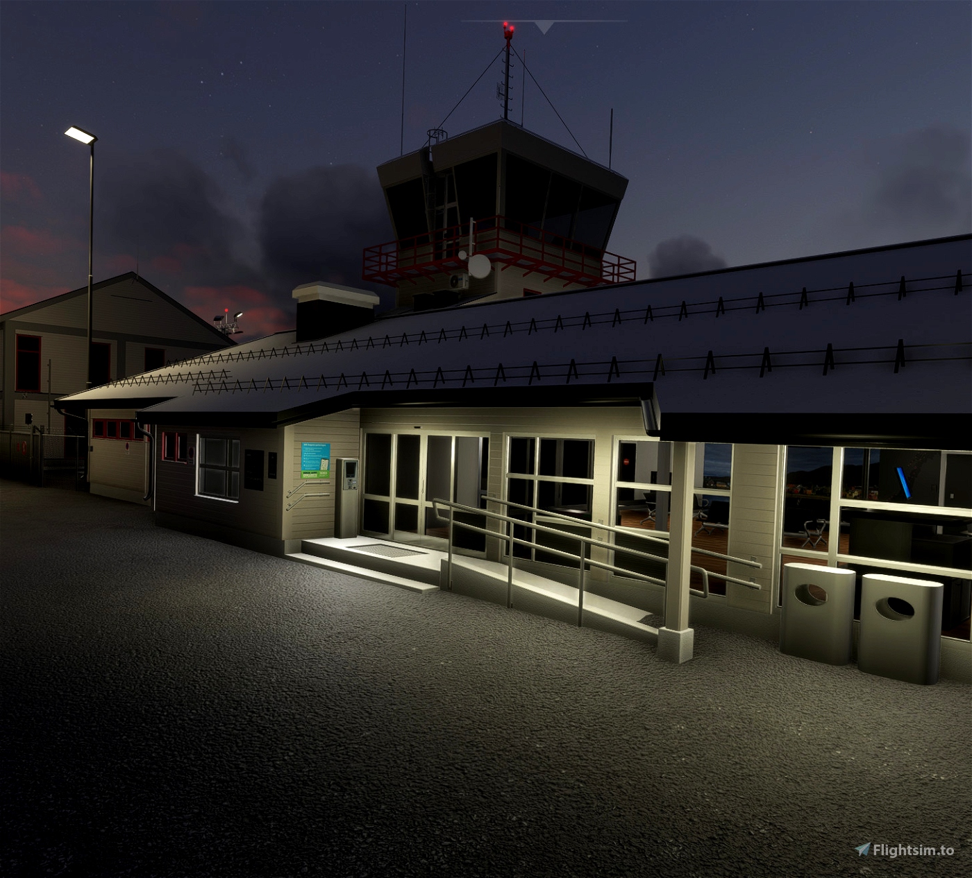
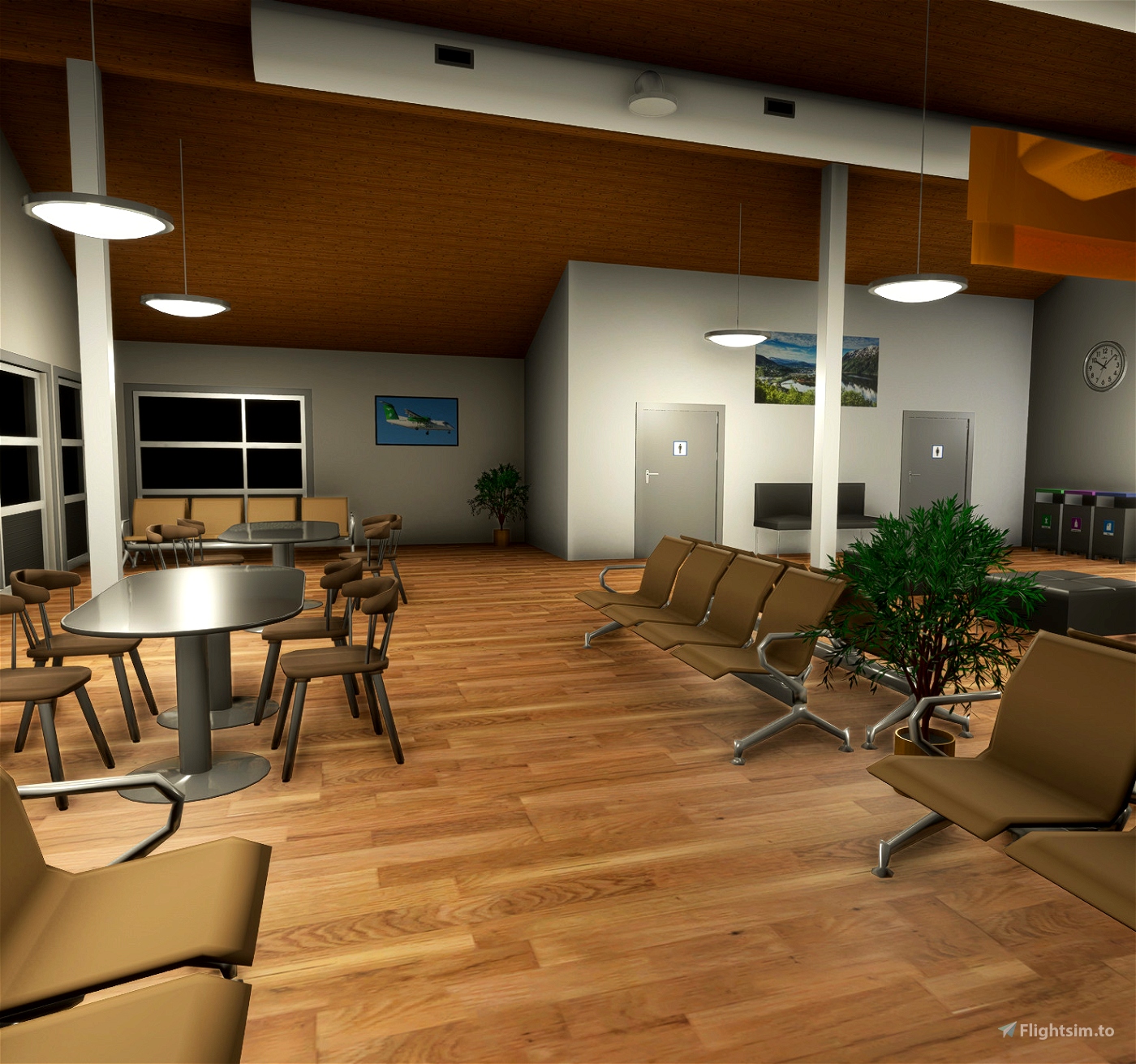
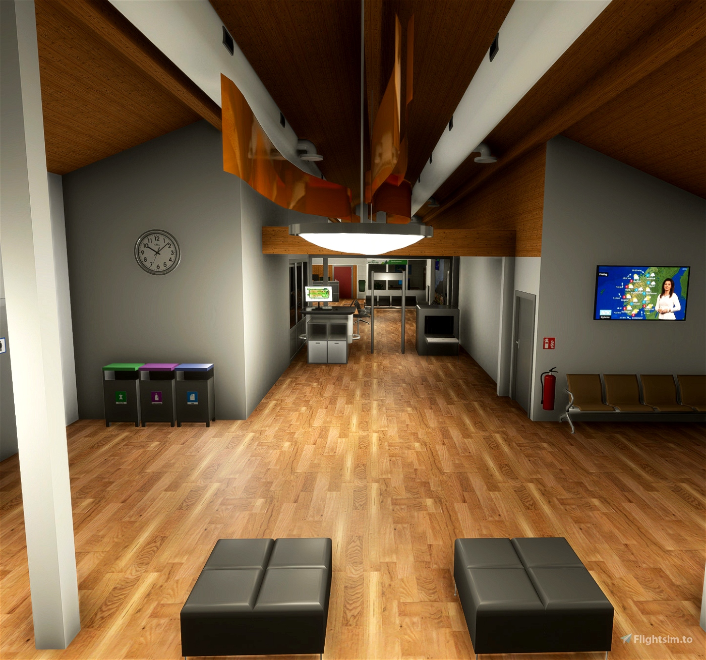
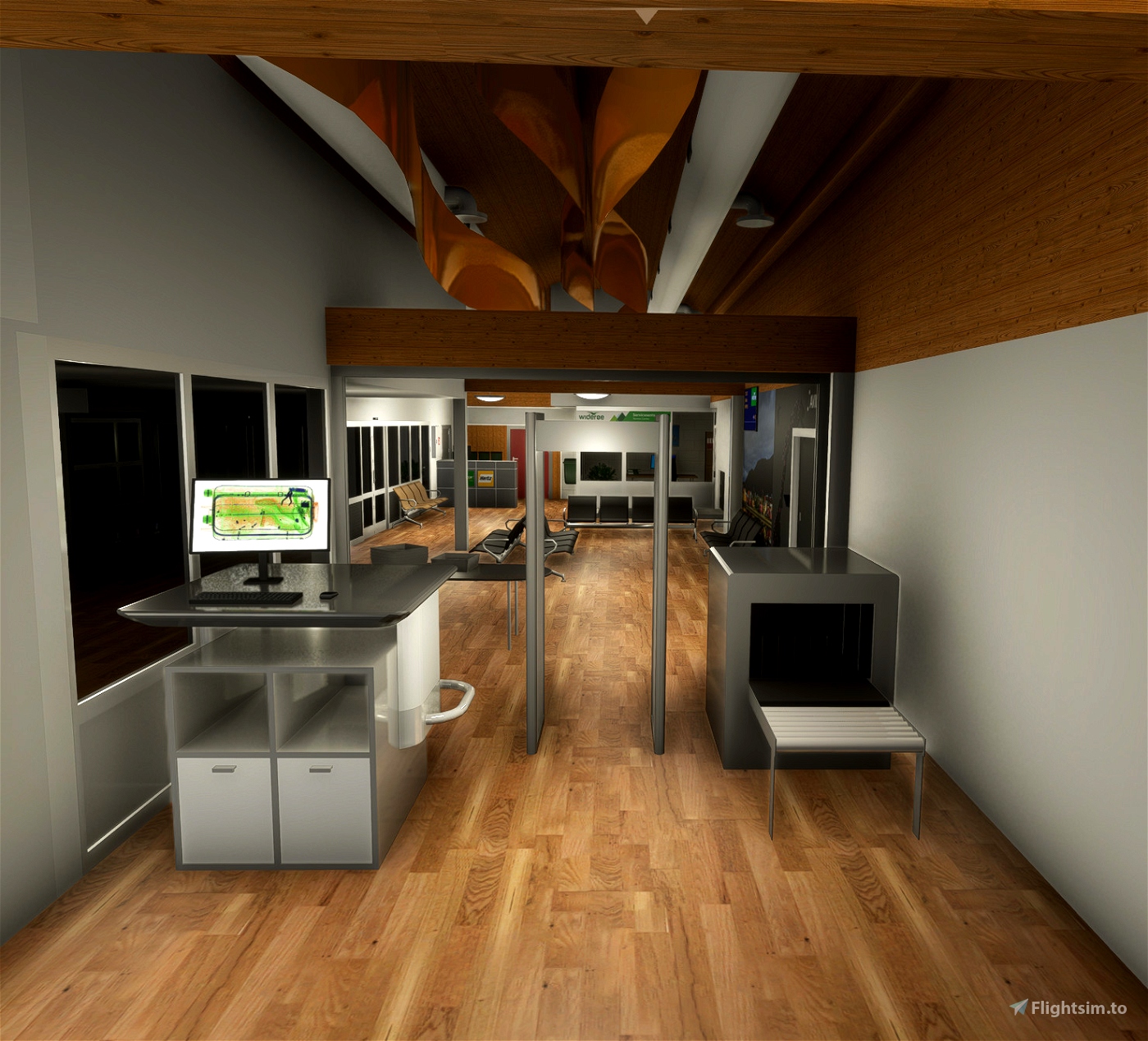
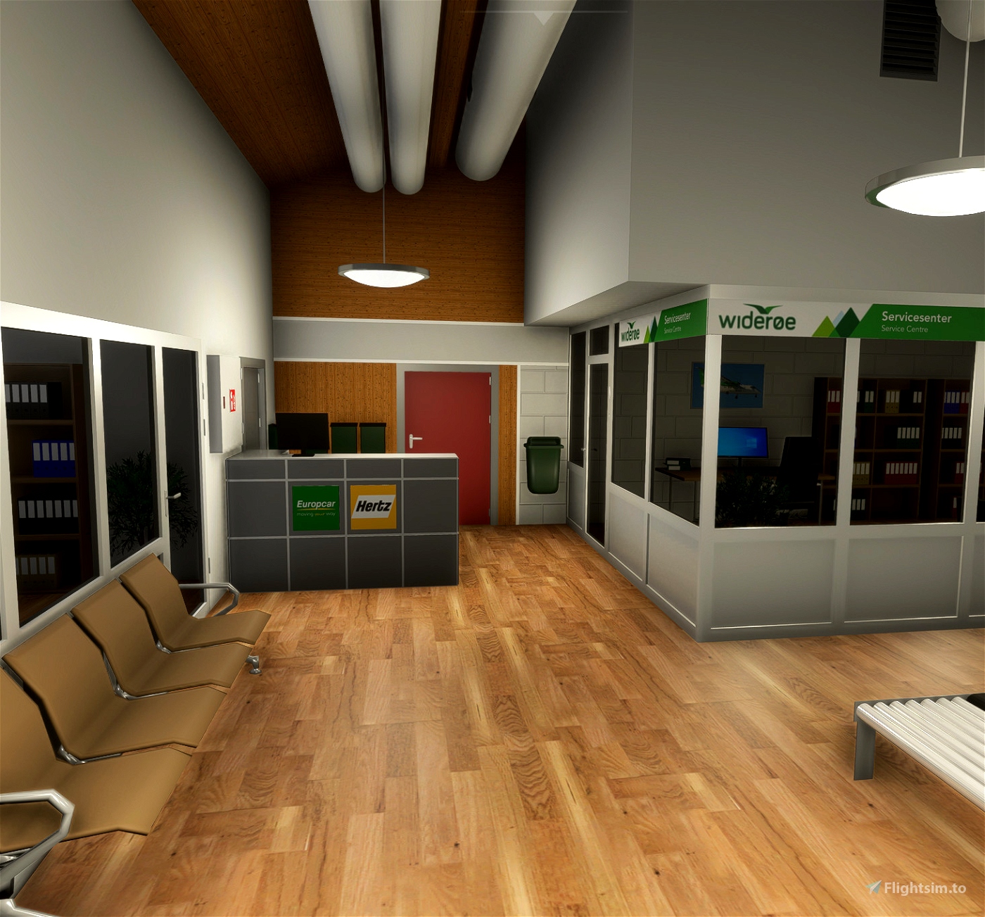
- Custom made buildings and objects.
- Custom made elevation mesh for the area around the airport with 1m resolution.
- Custom aerial imagery for the airport and close area.
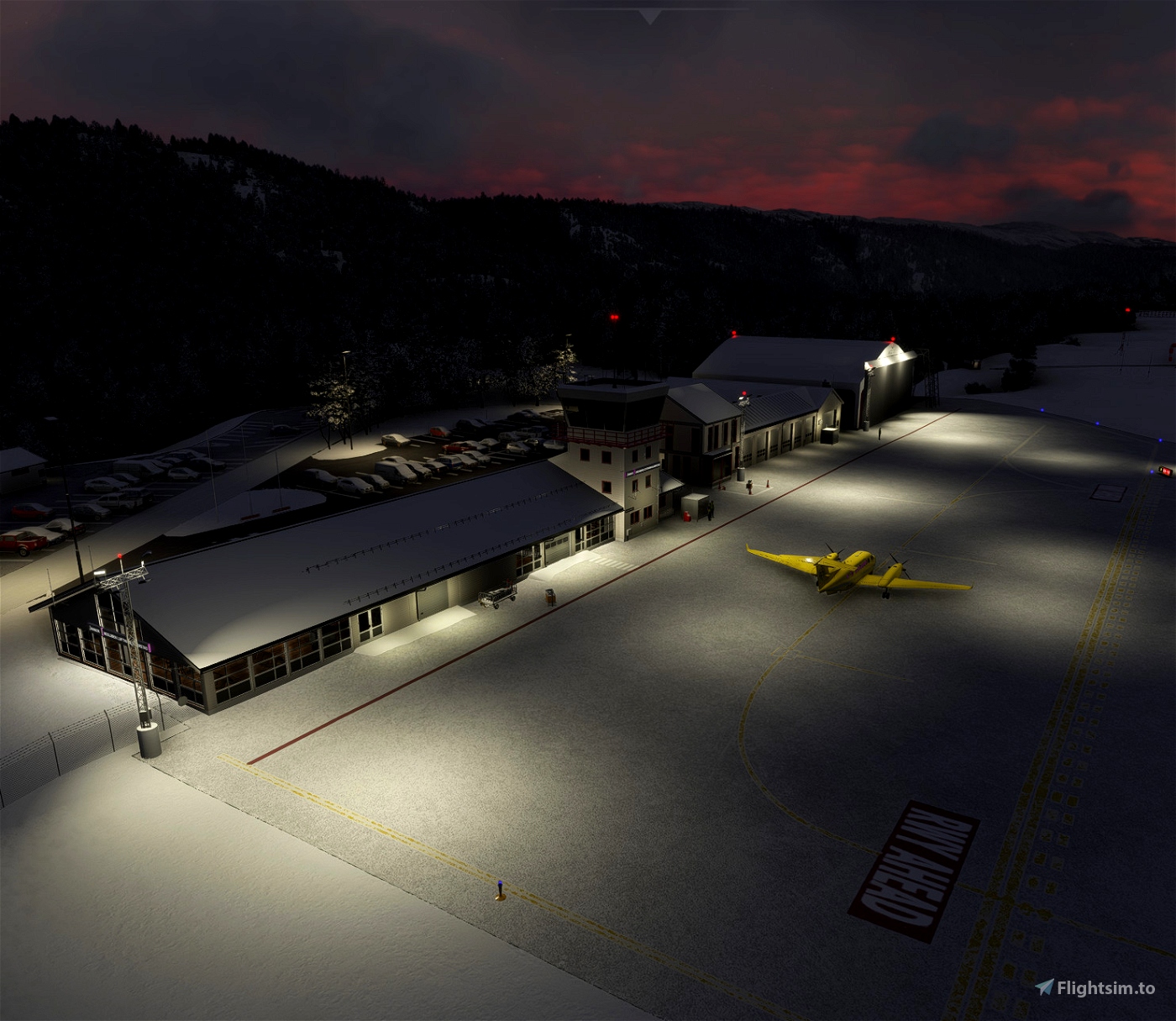
- The airport is made with runway/taxiway lights, leading lights, ground markings etc. as true to life as current information makes possible. If you discover errors, things that can be improved or things that is missing, please notify me so I can fix it for later versions.
Version 1.1:
- Removed trees from south end of helicopter ramp.
- Added texture to field in front of localizer antennas.
- Minor changes to some 3D models.
- Changed parking areas to general aviation to prevent large airliners to spawn.
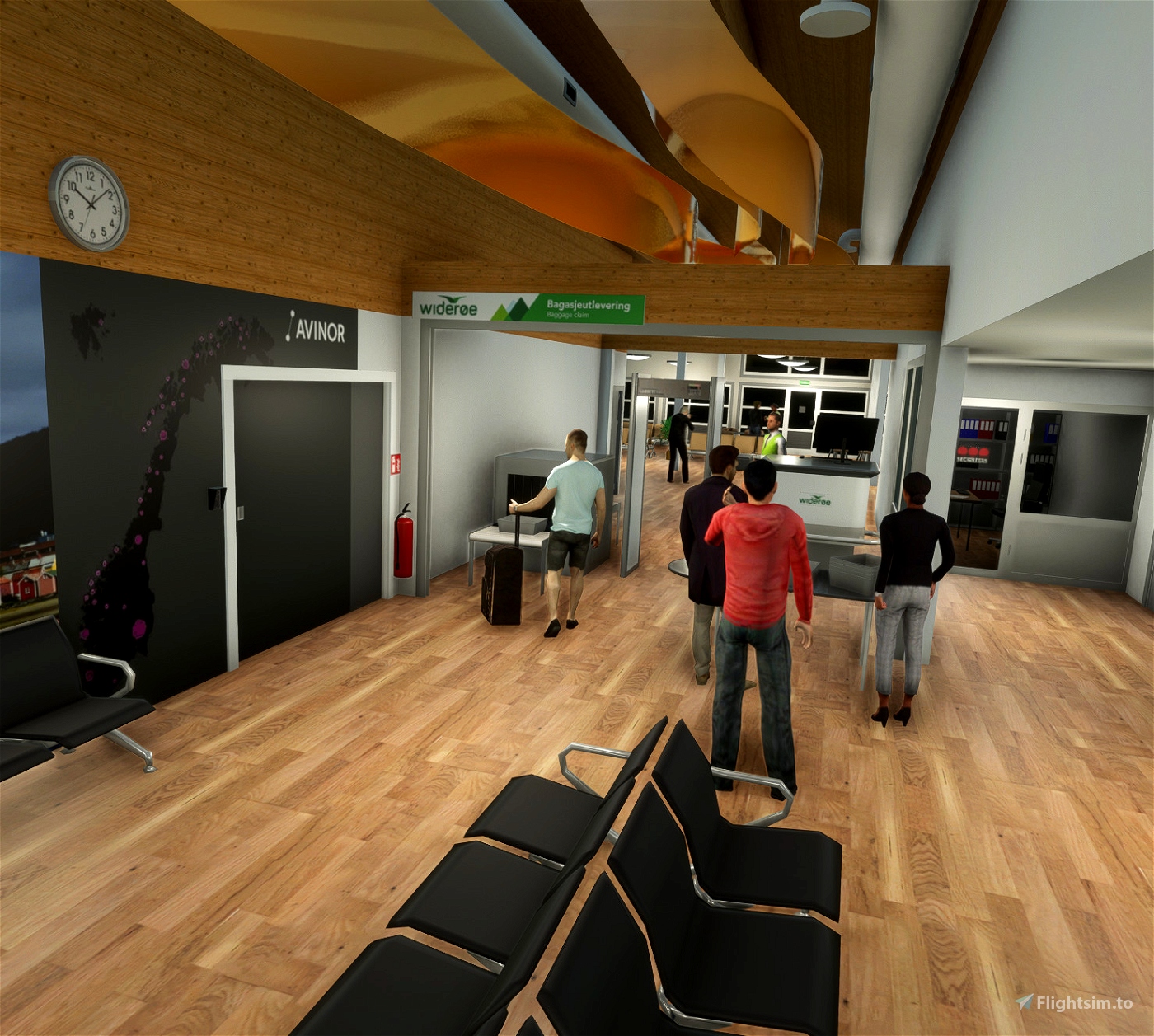
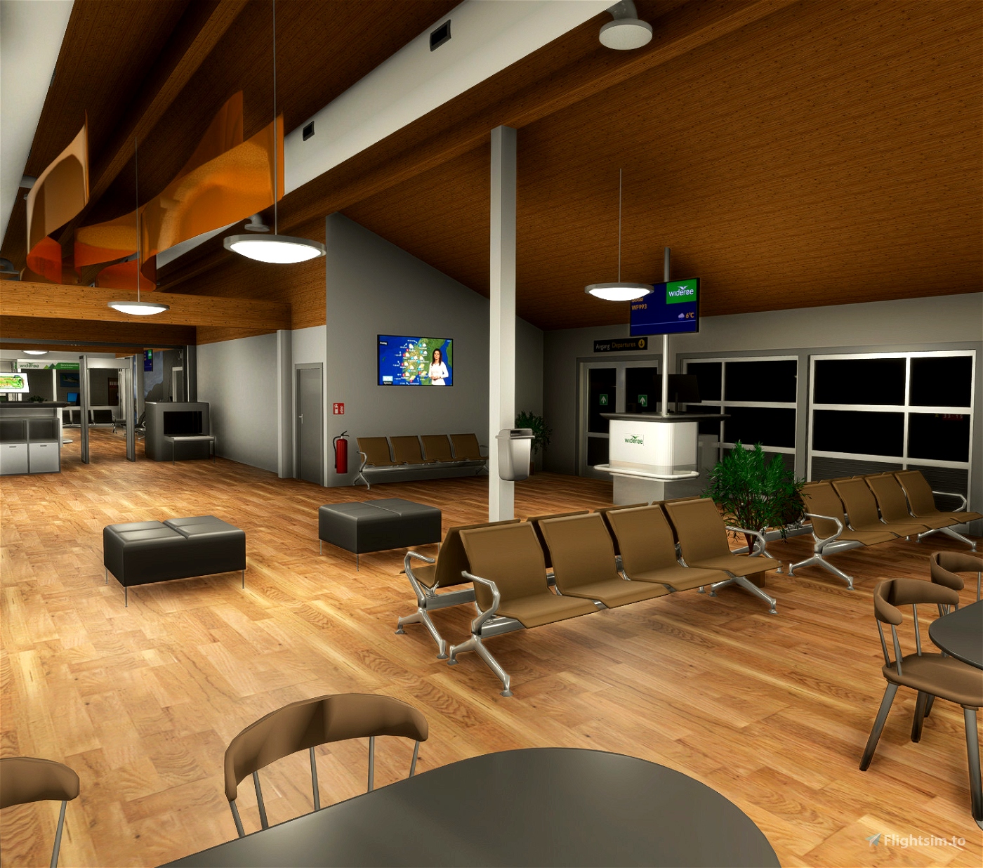
- Added people inside/outside of airport.
- Added circling lights to RWY 15 and flashing lead lights to RWY 33 and RWY 15.
- Added more red anti-collision lights for the area.
Installation:
Make sure to delete earlier versions if installed. Then, just unpack .zip file and drag scenery folder into the community folder.
Also check out my other work/contributions:
Andøya Airport (ENAN)
Andøya Scenery Pack (ENAN)
Harstad/Narvik Evenes airport (ENEV)
Evenes Scenery Pack (ENEV)
Tromsø Scenery Pack (ENTC)
Kjeller Scenery Pack (ENKJ)
Stavanger Scenery Pack (ENZV)
Honningsvåg Airport, Valan (ENHV)
Røst Airport (ENRS)
Scenery elevation mesh (C) Norwegian Mapping Authorities


 Sauron


CaptainMoonlight
Sauron author
3 months ago
Ivannn_08
Sauron author
3 months ago
joherszch
Sauron author
3 months ago
Selsbakk
Sauron author
3 months ago
florentmoreau
Sauron author
3 months ago
Tom_L
Sauron author
3 months ago
alfme
Sauron author
3 months ago
BostonElf
Sauron author
3 months ago
BJM62
Sauron author
3 months ago
Snoopy7412
Sauron author
3 months ago
flyingfish7
Sauron author
3 months ago
eddrik84
Sauron author
3 months ago
JockoFlocko76
alfme
Sauron author
4 months ago
Funky1106
Sauron author
4 months ago