Update: if you have the aerosoft-landmarks-north-sea scene and want to delete duplicates, this version 2 solves the problem.
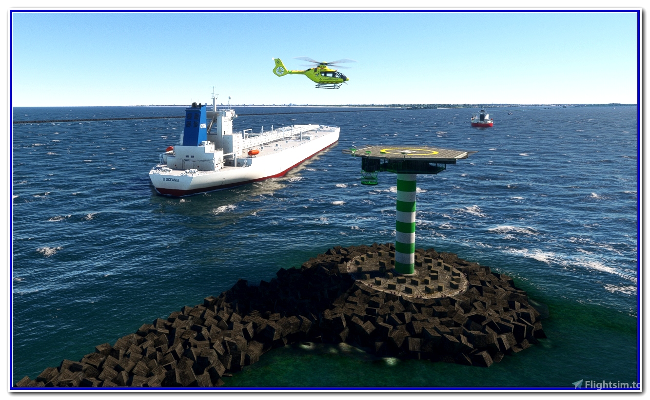
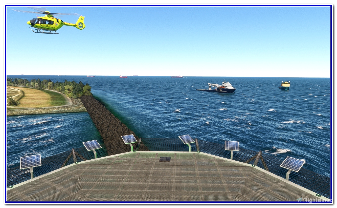
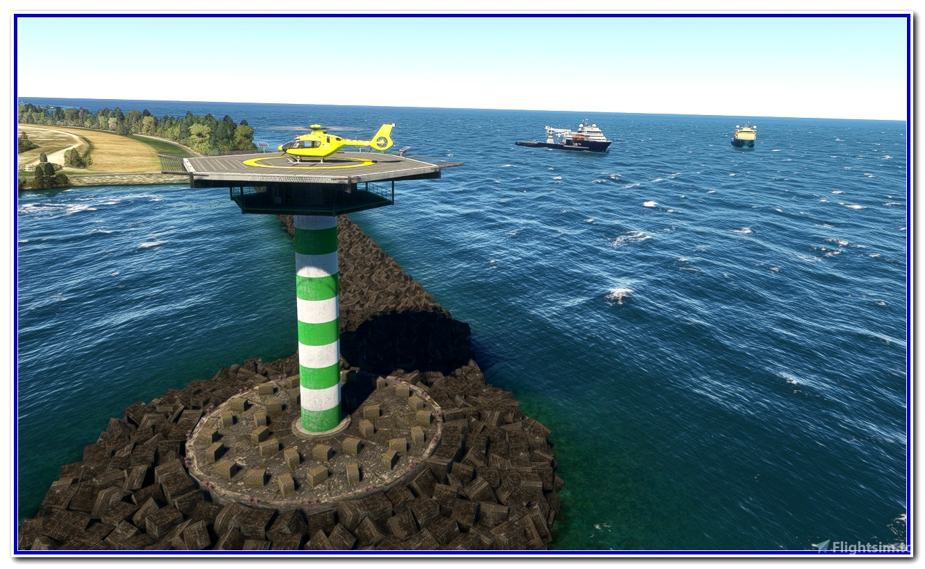
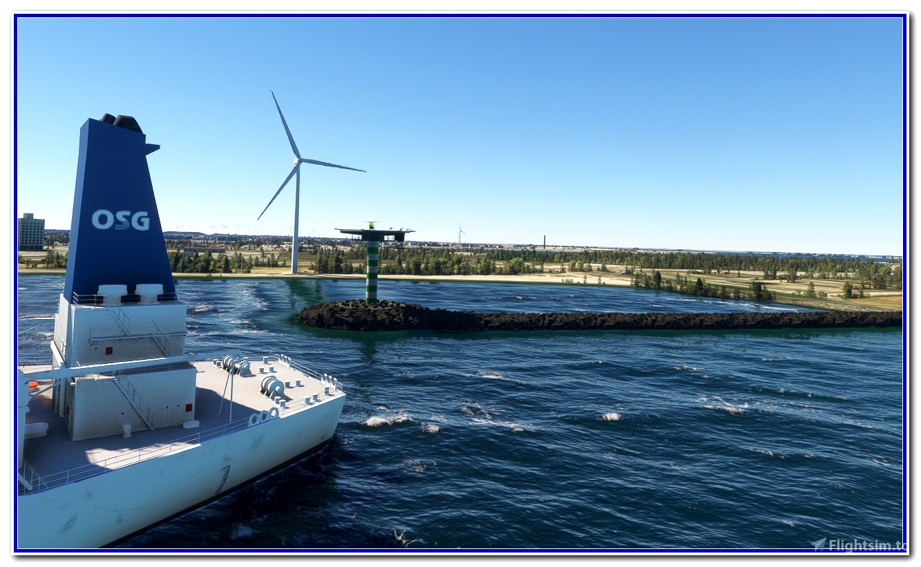
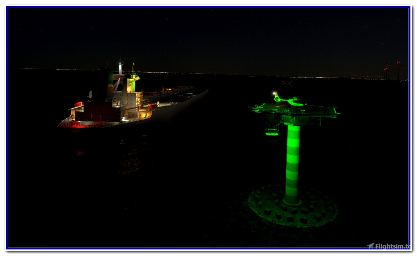
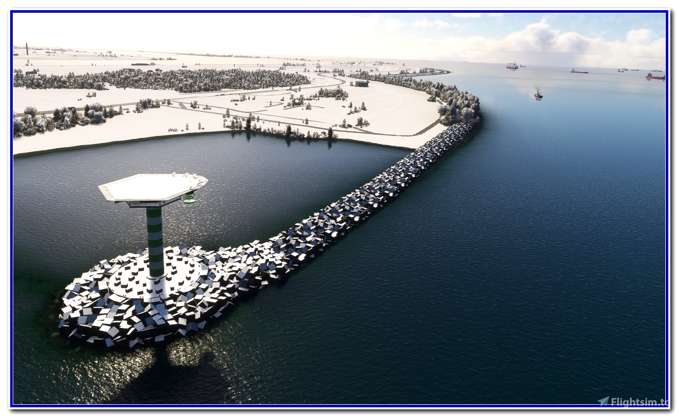
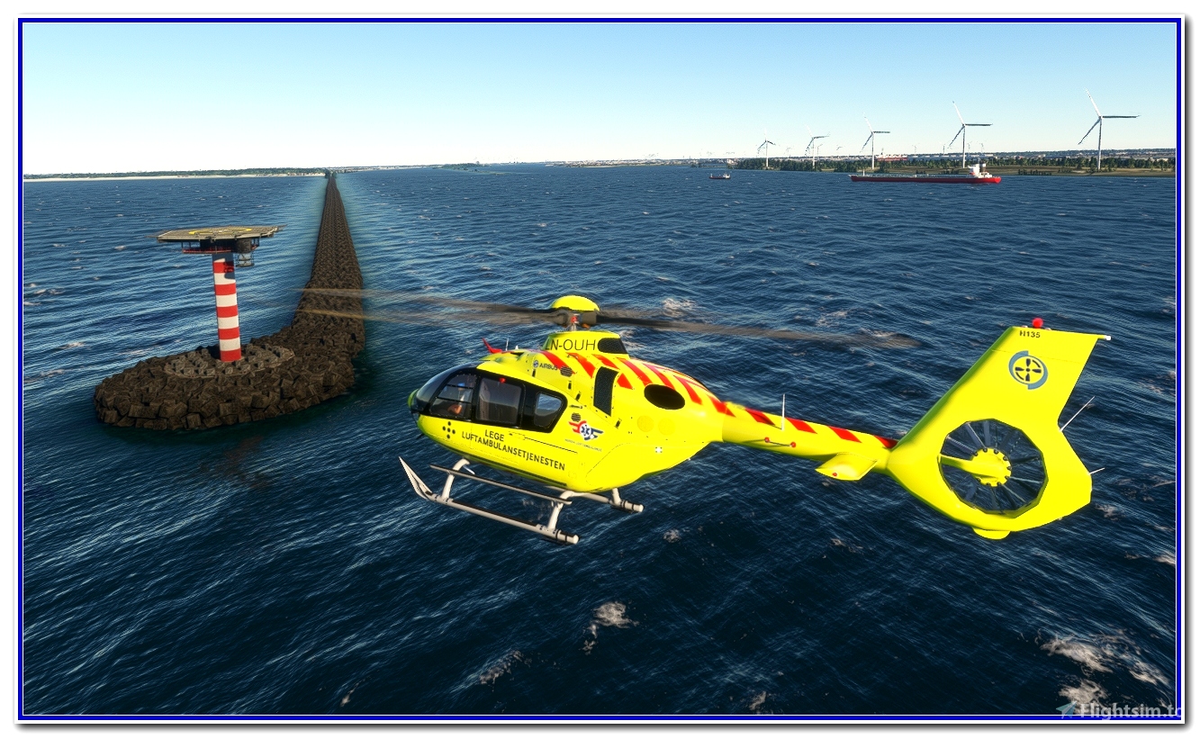
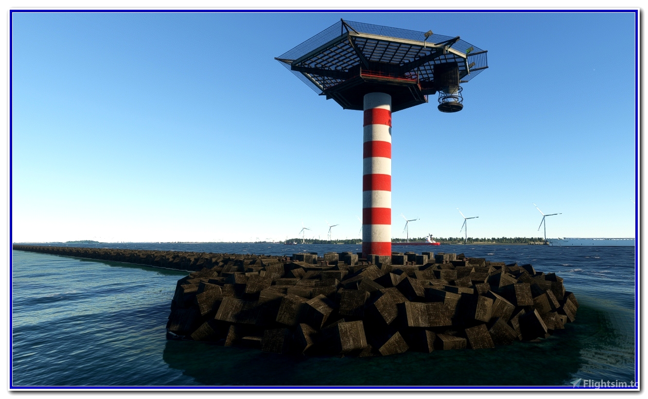
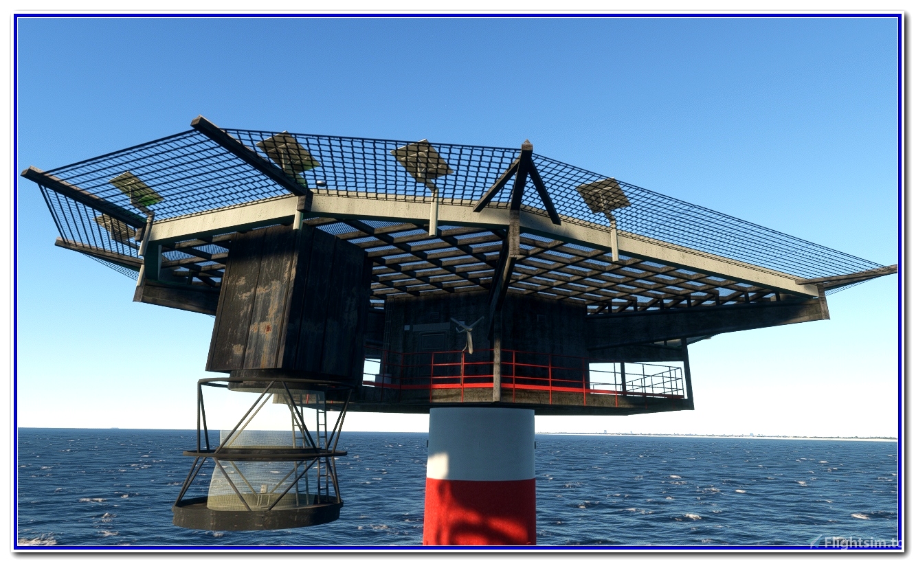
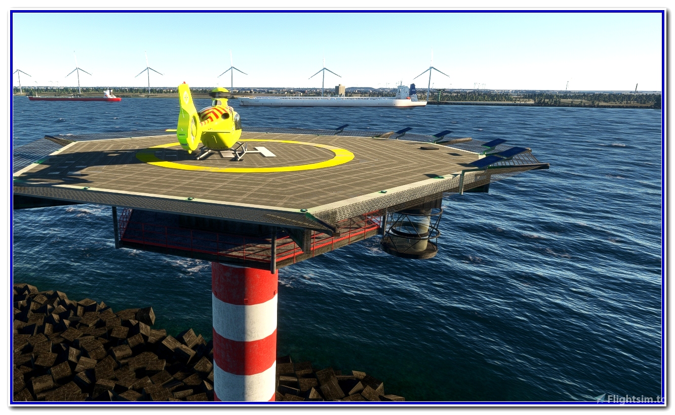
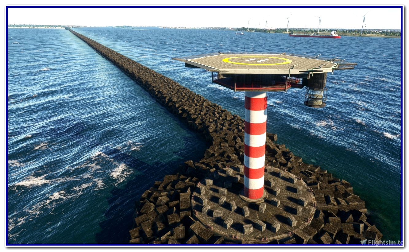
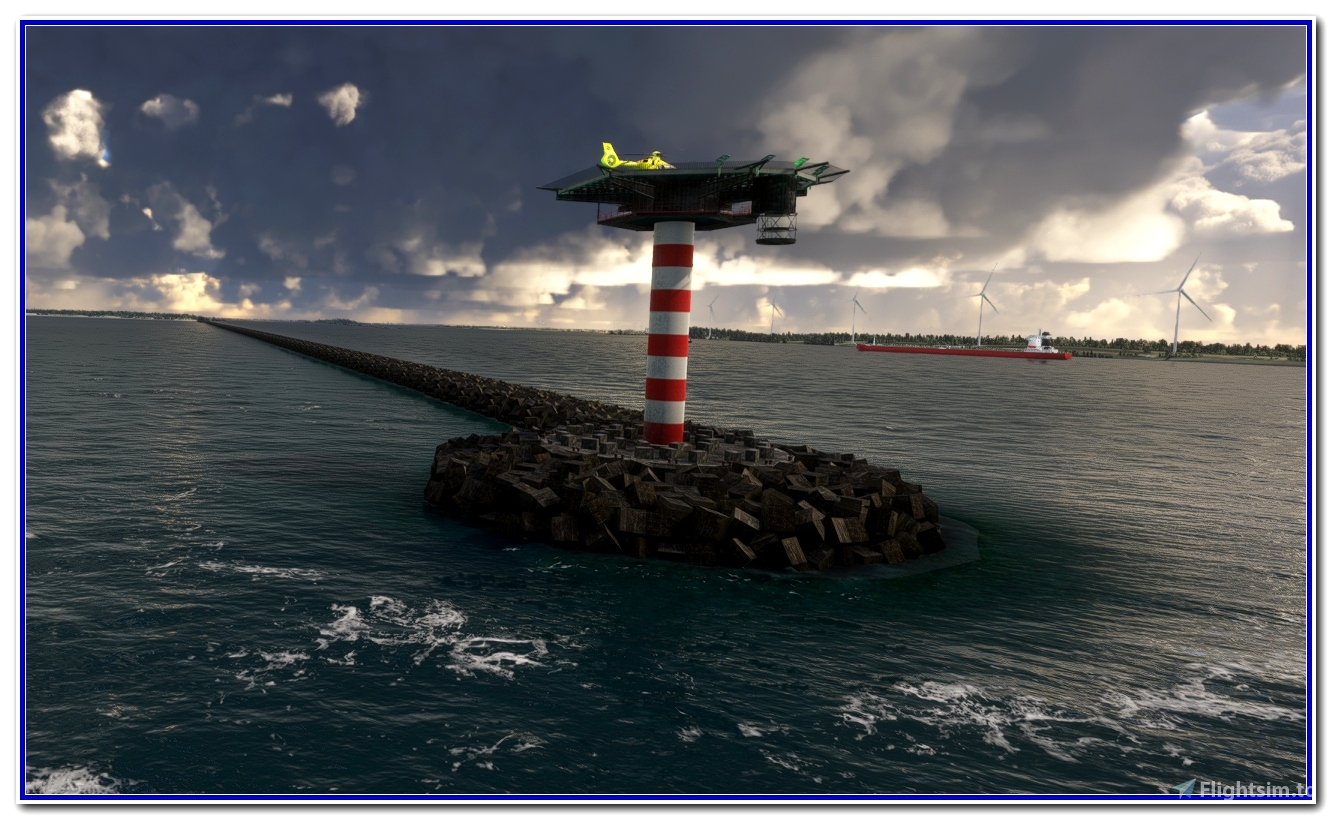
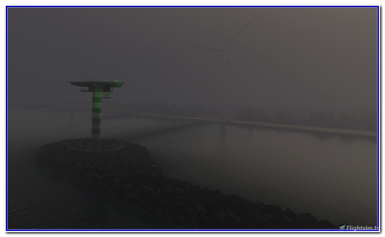
Located in the Netherlands, these two helicopter platforms, then commonly known as "mushrooms", flank the entrance to the Rotterdamsche Waterweg, the commercial mouth of the Meuse at Maasvlakte. Erected in 1970, active, focal plane of 25 m (82 ft), continuous red and green light.
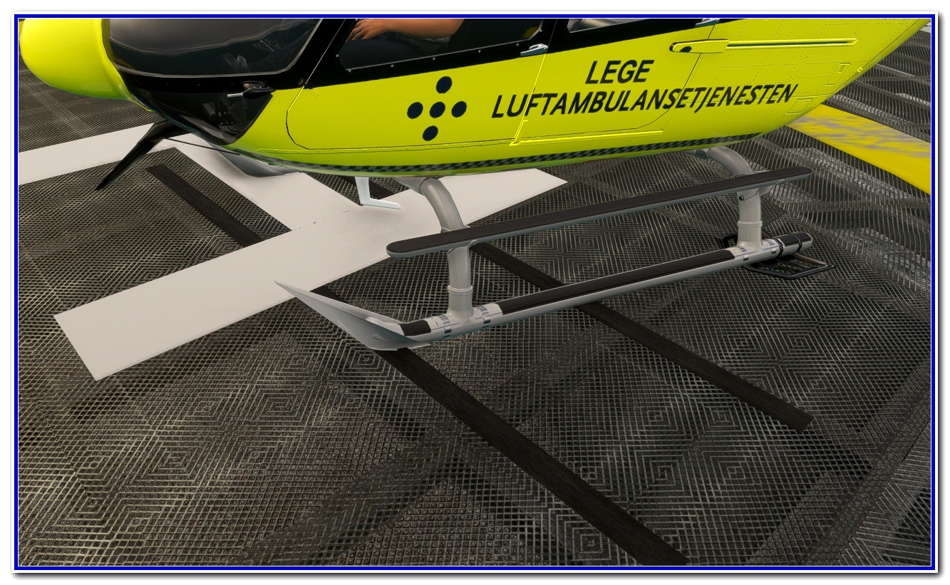
Two round cylindrical concrete towers, 31 m (102 ft) high, topped by a square technical room and a helipad.
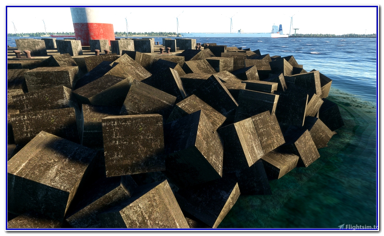
Each tower is painted with horizontal stripes of white red (North) and white green (South), spaced 1000 m (3280 ft) apart. The northern breakwater is 2,700 m (8,858 ft) long and made up of thousands of marine concrete blocks. These structures are closed to the public.
Good flights
To be continued ...
Requires: https://flightsim.to/file/55180/airport-lights-replacement and EDHK Lights & Objects Developers Pack
Mise à jour : si vous possédez la scène aerosoft-landmarks-north-sea et pour supprimer les doublons, cette version 2 résout le problème.
Bons vols
Situées en Hollande, ces deux plateformes hélicoptère puis communément appelées "champignons" encadrent l'entrée de la Rotterdamsche Waterweg, l'embouchure commerciale de la Meuse à Maasvlakte. Erigées en 1970, actives, plan focal de 25 m (82 ft), lumière rouge et verte continue.
Deux tours cylindriques rondes en béton de 31 m de haut (102 ft) surmontée d'un local technique carré et d'un héliport.
Chaque tour est peinte avec des bandes horizontales rouges blanches (Nord), vertes blanches (Sud) distantes de 1000 m (3280 ft). La digue nord (brise-lames) d'une longueur de 2700 m (8858 ft) est constituée de milliers de blocs de béton marin. Ces ouvrages sont interdits au public.
Bons vols
A suivre ...
Nécessite : https://flightsim.to/file/55180/airport-lights-replacement and EDHK Lights & Objects Developers Pack


 AlroCreation


smoothflyer
smoothflyer
What is the longitude and latitude of the 2nd one?
AlroCreation author
2 months ago
FlyingCossack
Deleted Account