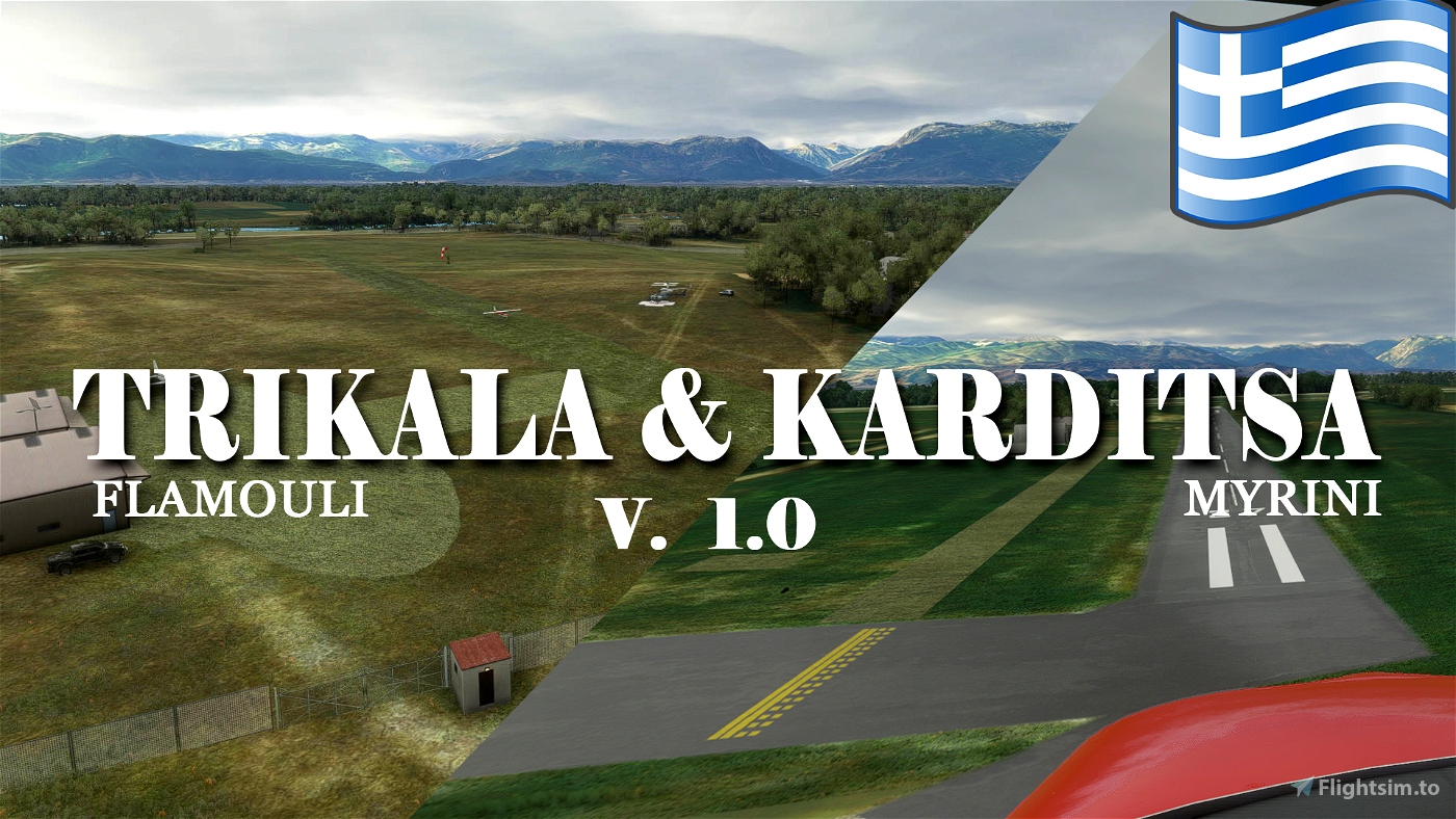
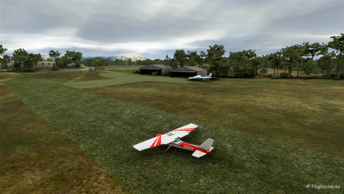
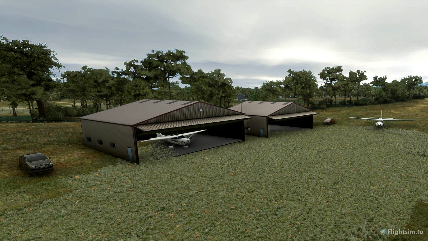
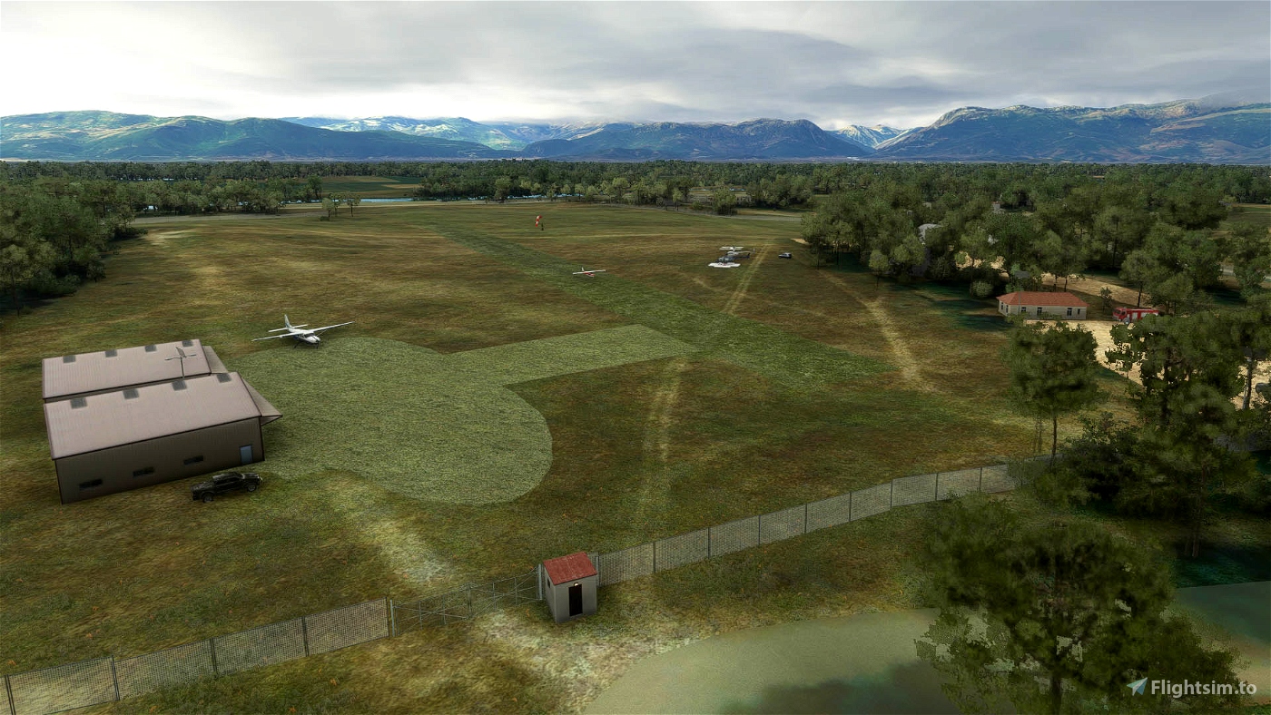
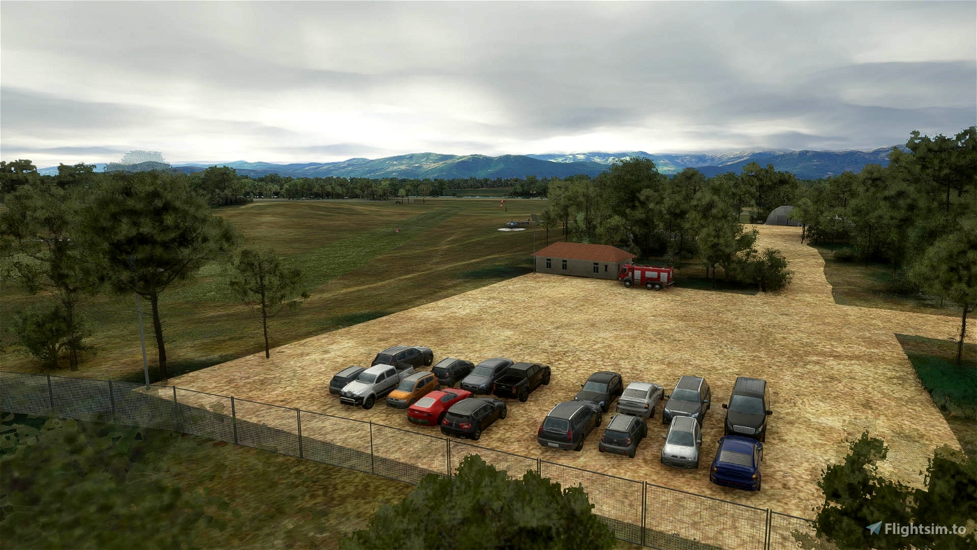
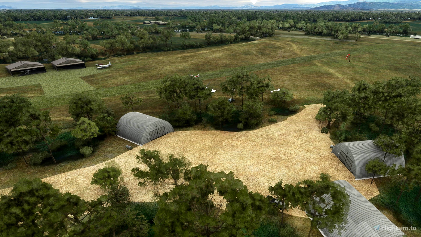
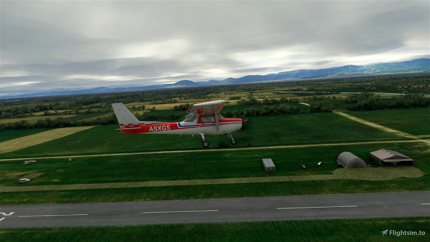
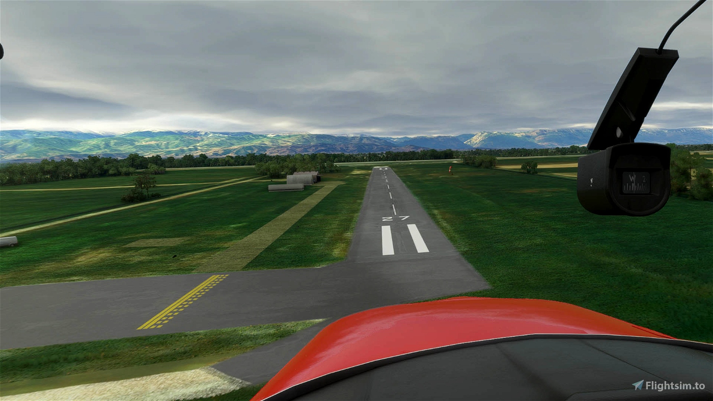
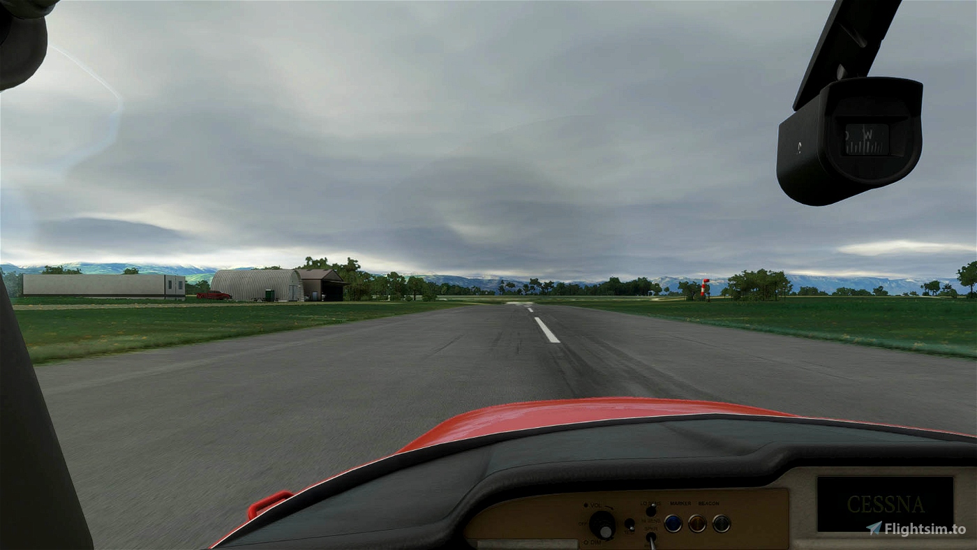
1. Myrini Airfield of Karditsa in Western Thessaly region of Greece.
- Corrected altitude of e-65 national road next to airfield
- Placed two hangars as they are in real airfield
2. Flamouli Airfield of Trikala in Western Thessaly (closed nowdays)
-
Coordinates: 39 ° 31.23 ′ N 021 ° 45.49 ′ E (estimated from Google Maps).
ICAO code: Not assigned.
Year of foundation: It is not known when the makeshift Flamouli corridor was first organized. What probable date should we take the year 1956, a year when at the beginning, in February, the 197 M.EPAR was formed
Abandoned airport. It does not exist today. The corridor length data refer to its operating period.
1956-1960: The airport under the jurisdiction of the General Staff. The 197 M.EPAR is based there.
1960: With the dissolution of 197 MEPAR, the airport ceases to operate used as a makeshift runway, by other MEPAR, mainly the 190 200 of Volos.
UNTIL TODAY: The airport was converted into a Camp (Lieutenant Colonel ATHANASIOS SISKOS), at least until 1990, the headquarters of a Supply-Transport Unit and later abandoned.
INSTALLATION: Unzip and place the 2 folders into your Community Folder

JiannisCamel
DespotasAirlines
SxPetros1981