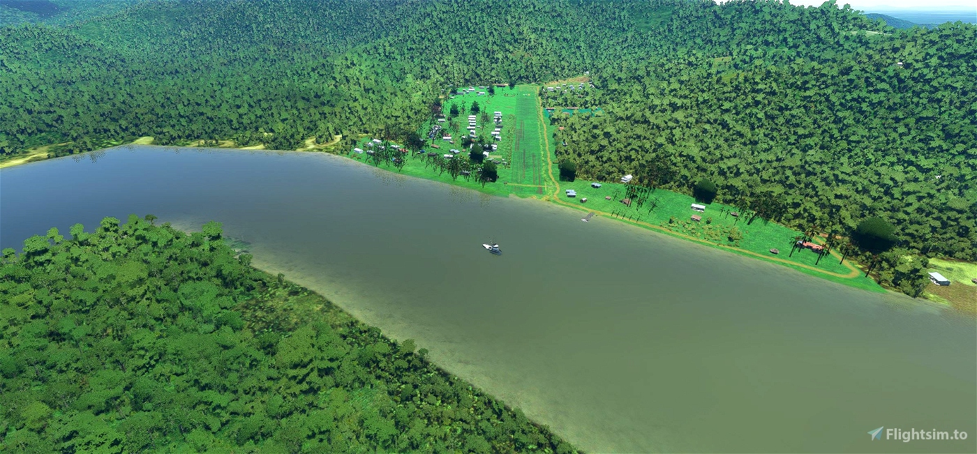
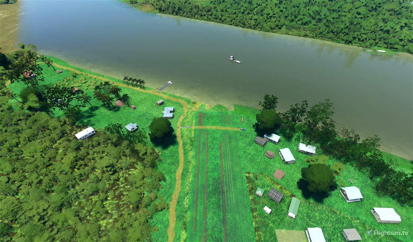
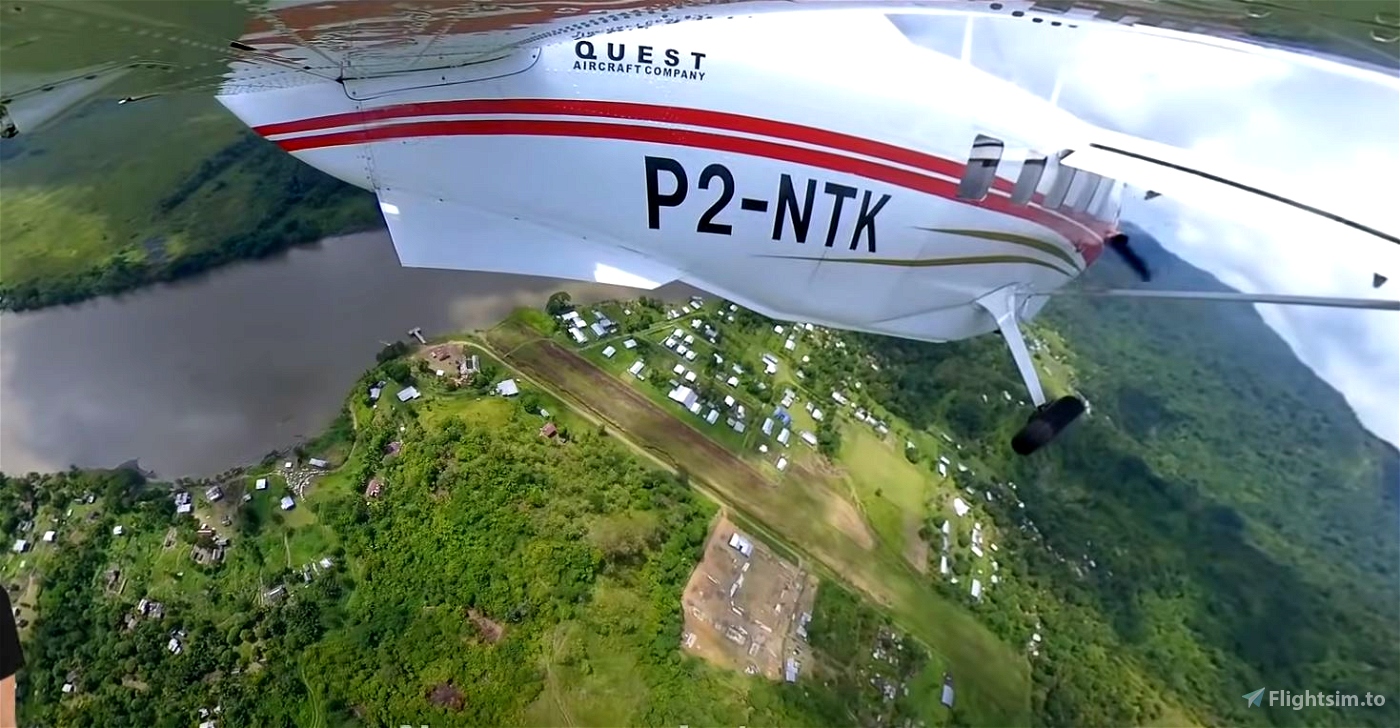
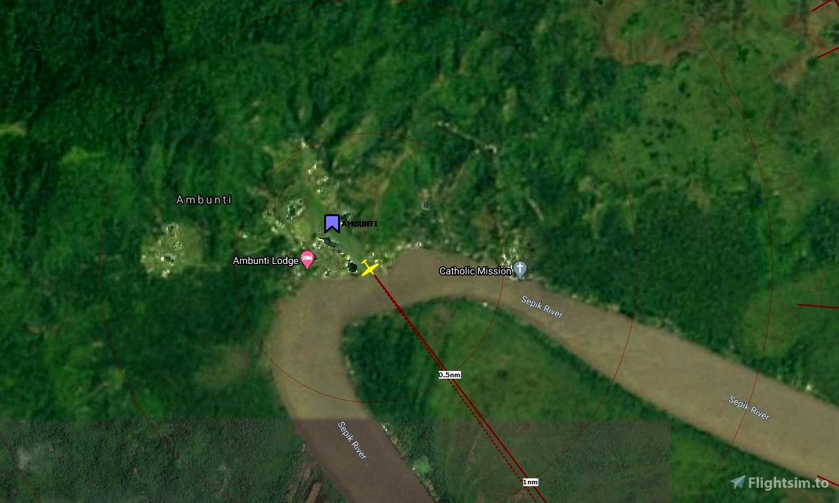
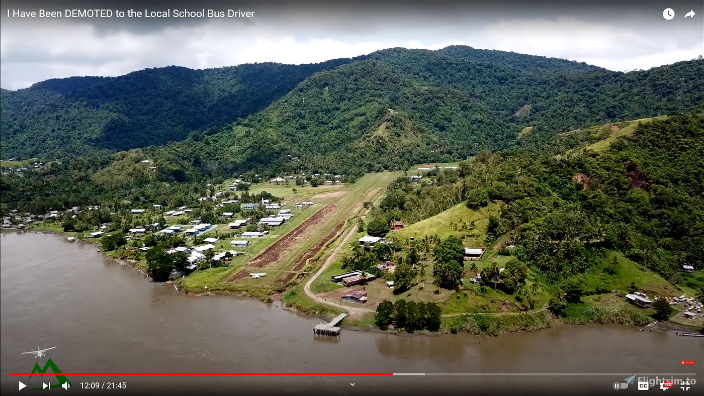
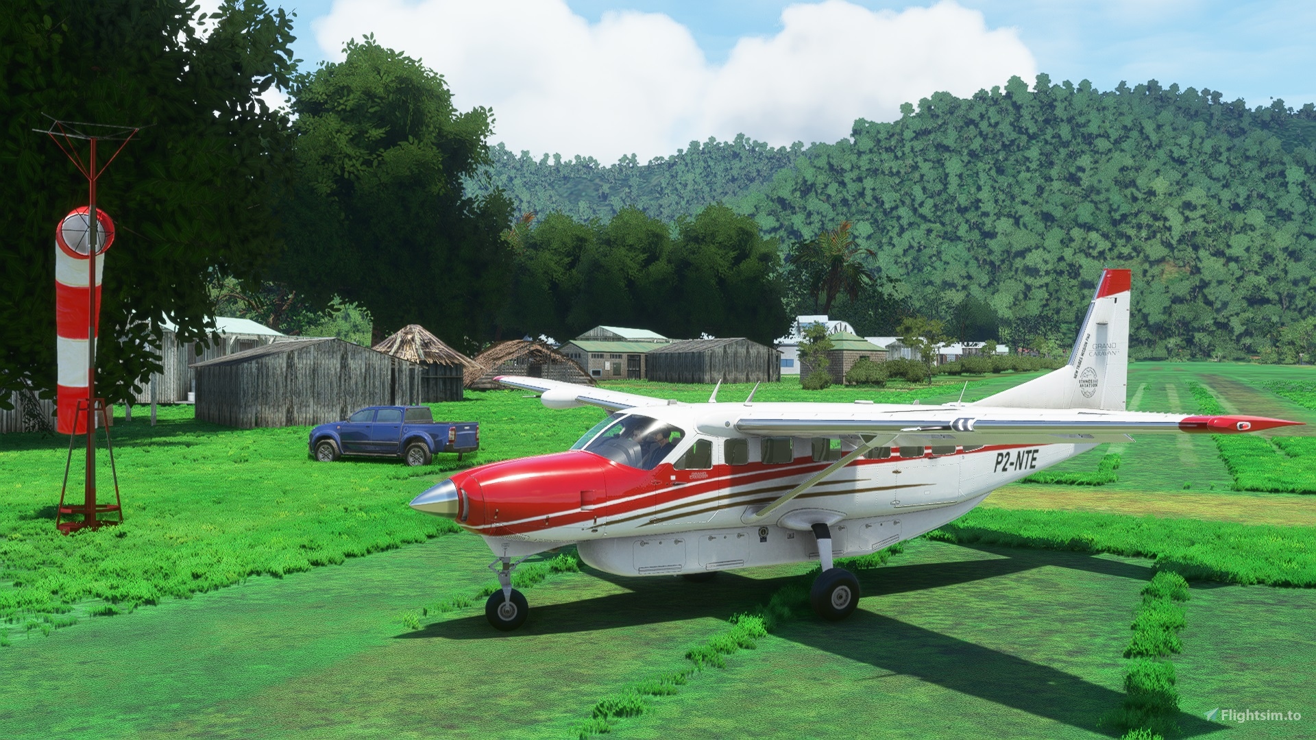
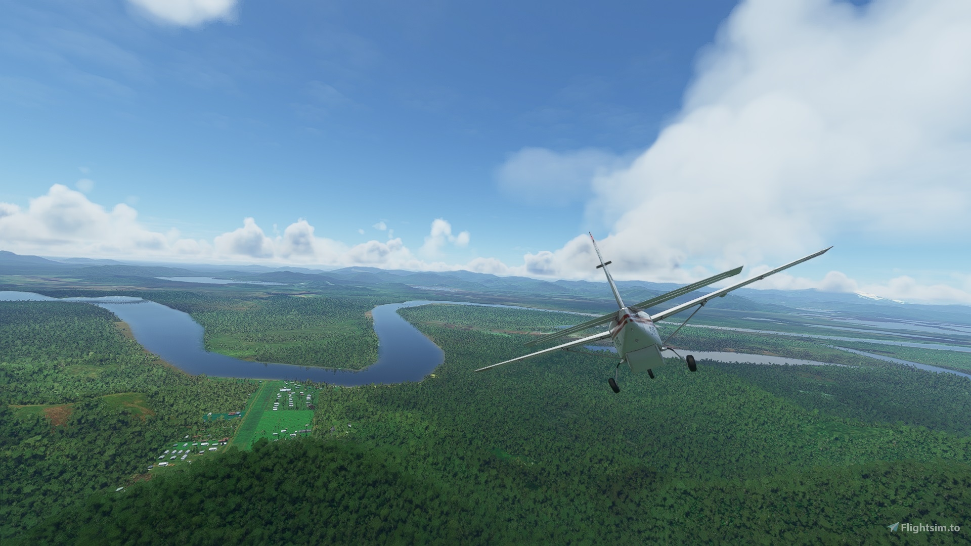
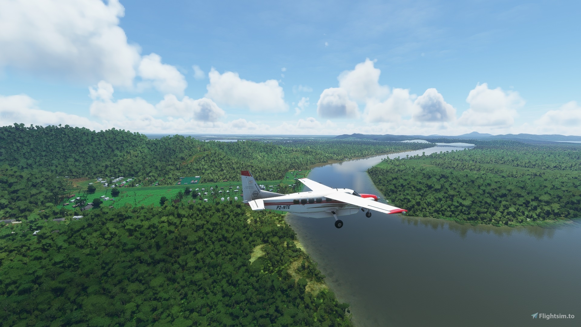
Ambunti is a town in Ambunti-Dreikikier District of East Sepik Province in Papua New Guinea, and the airstrip is located directly next to the Sepik river. Ambunti has a population of approximately 2,110. It is 190 nm from the Missionary Bush Pilot’s base of Goroka.
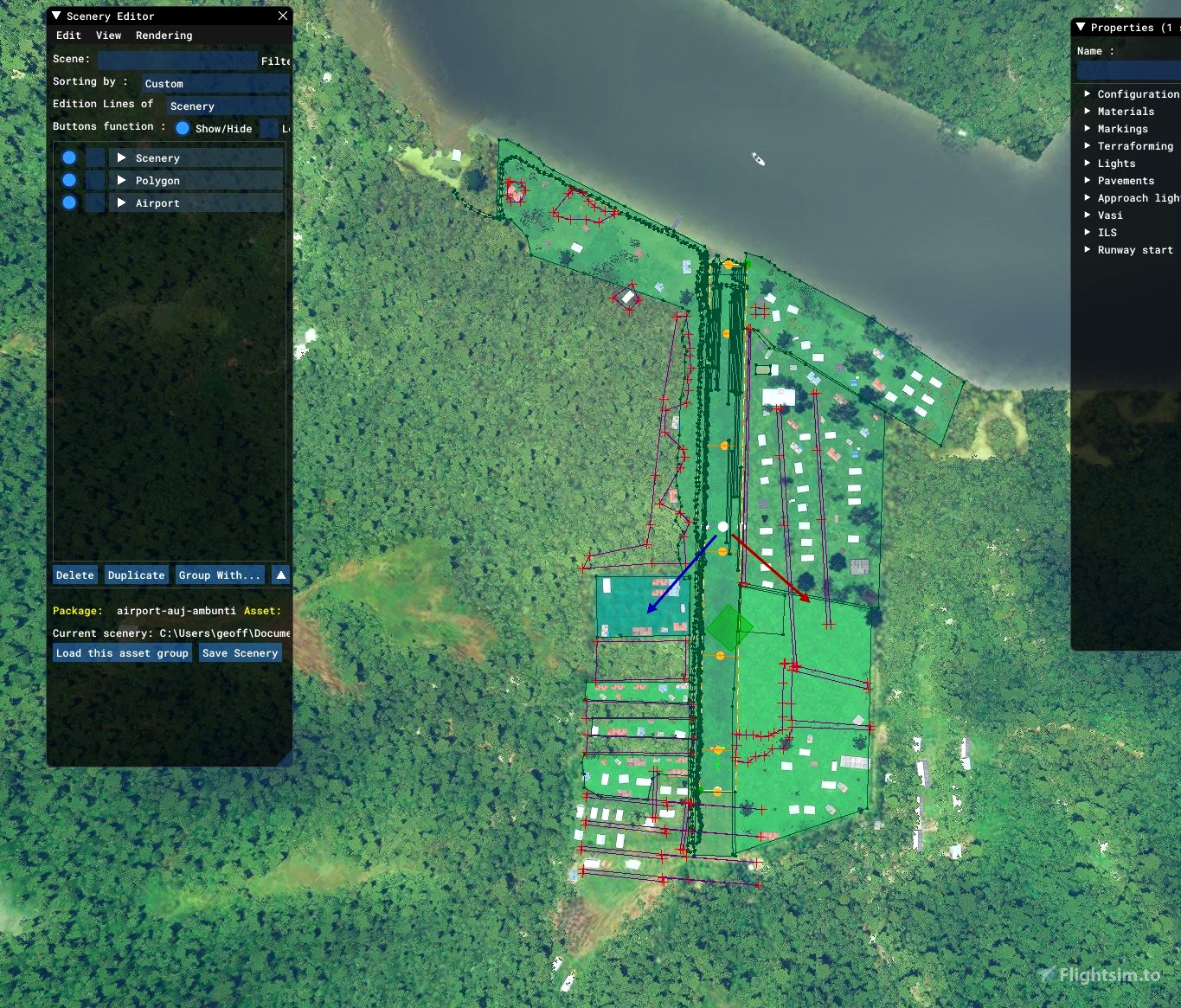
The airstrip in real life has an ICAO code of AYAT. But, MFS incorrectly allocated this code to another airstrip, Kabori, Aitape, (ICAO=AYOR). Previously, MFS did not have the Ambunti airstrip in their scenery, So I assigned its real world IATA code of AUJ. I created the strip from studying pics from Missionary Bush Pilot, Ryan, and any missionary details I could find, and built it out of the forest in the exact location after superimposing the to be built airstrip over that of satelite views.
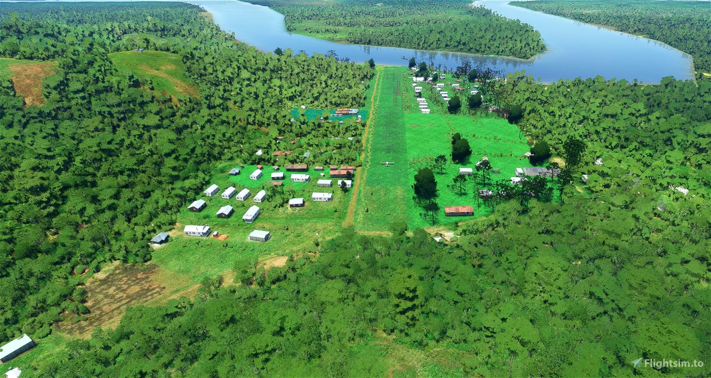
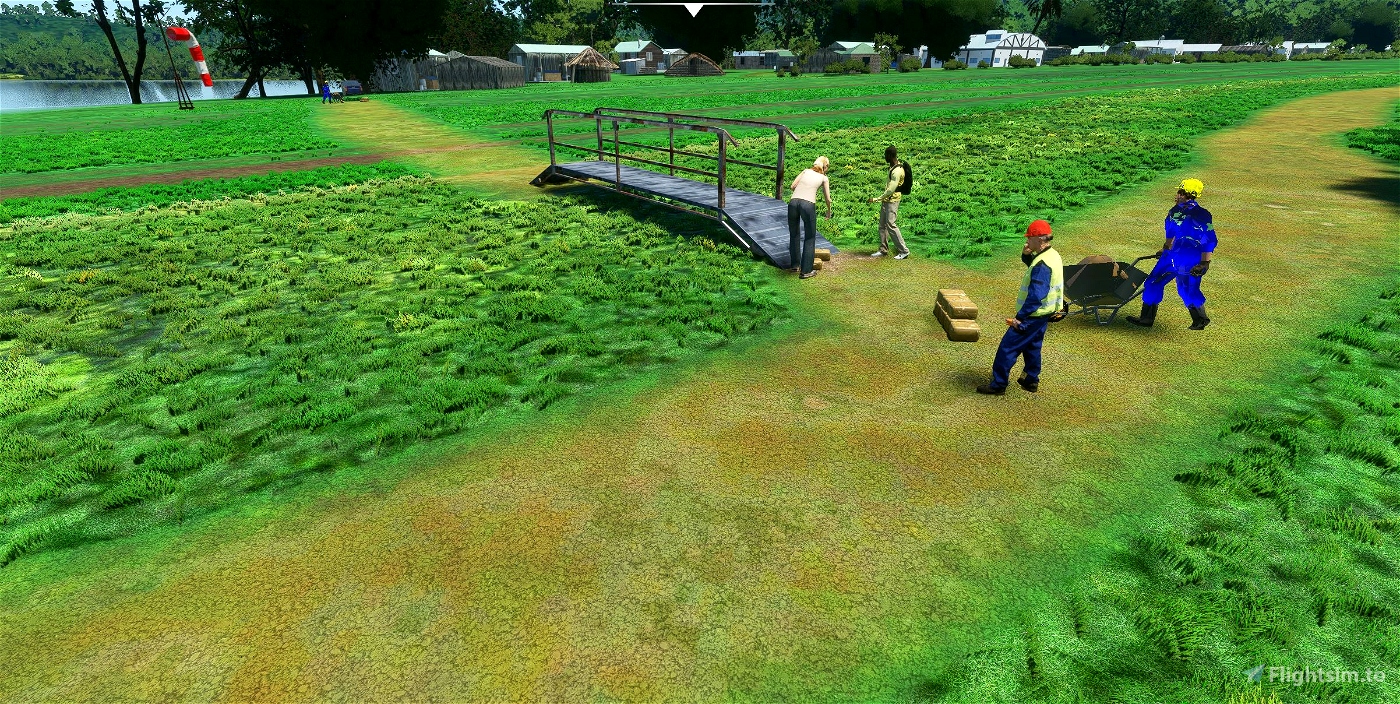
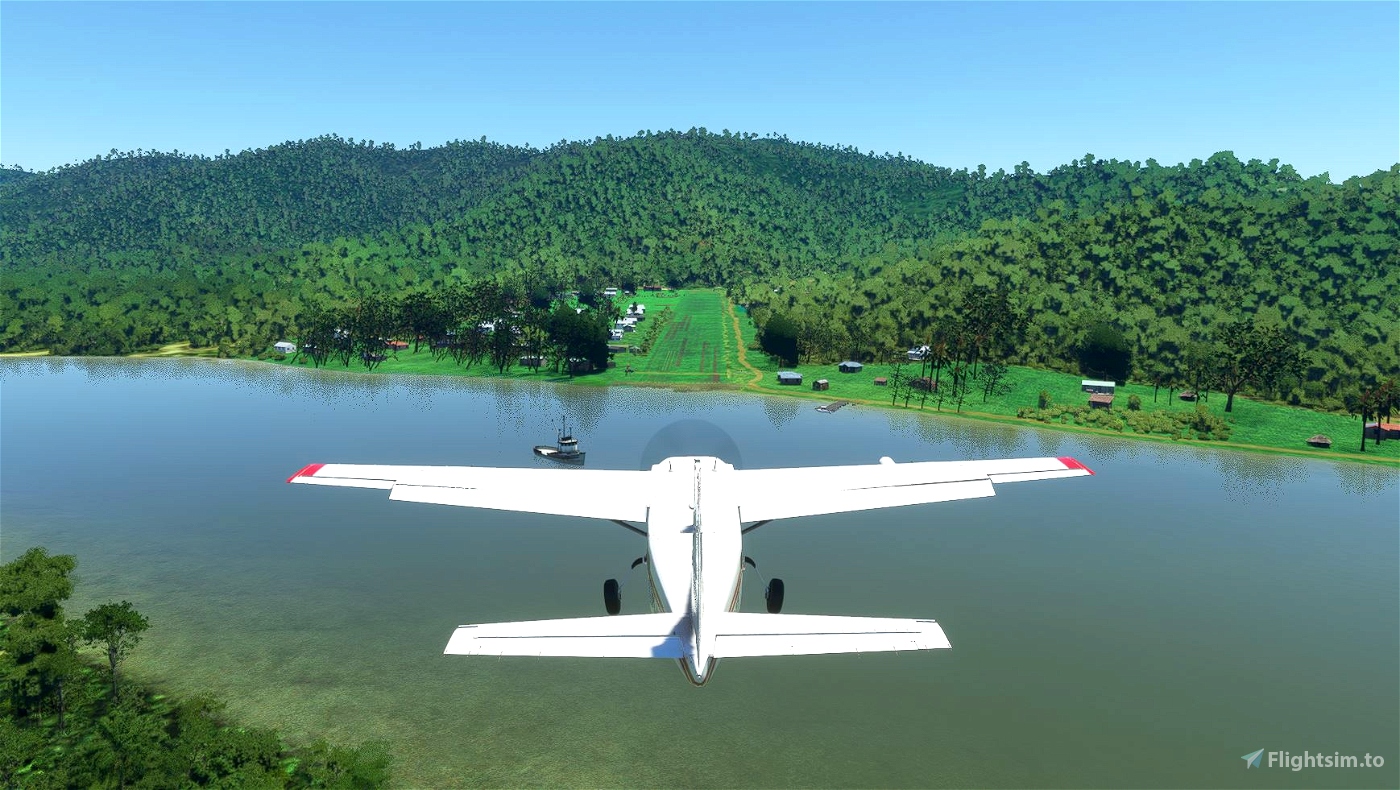
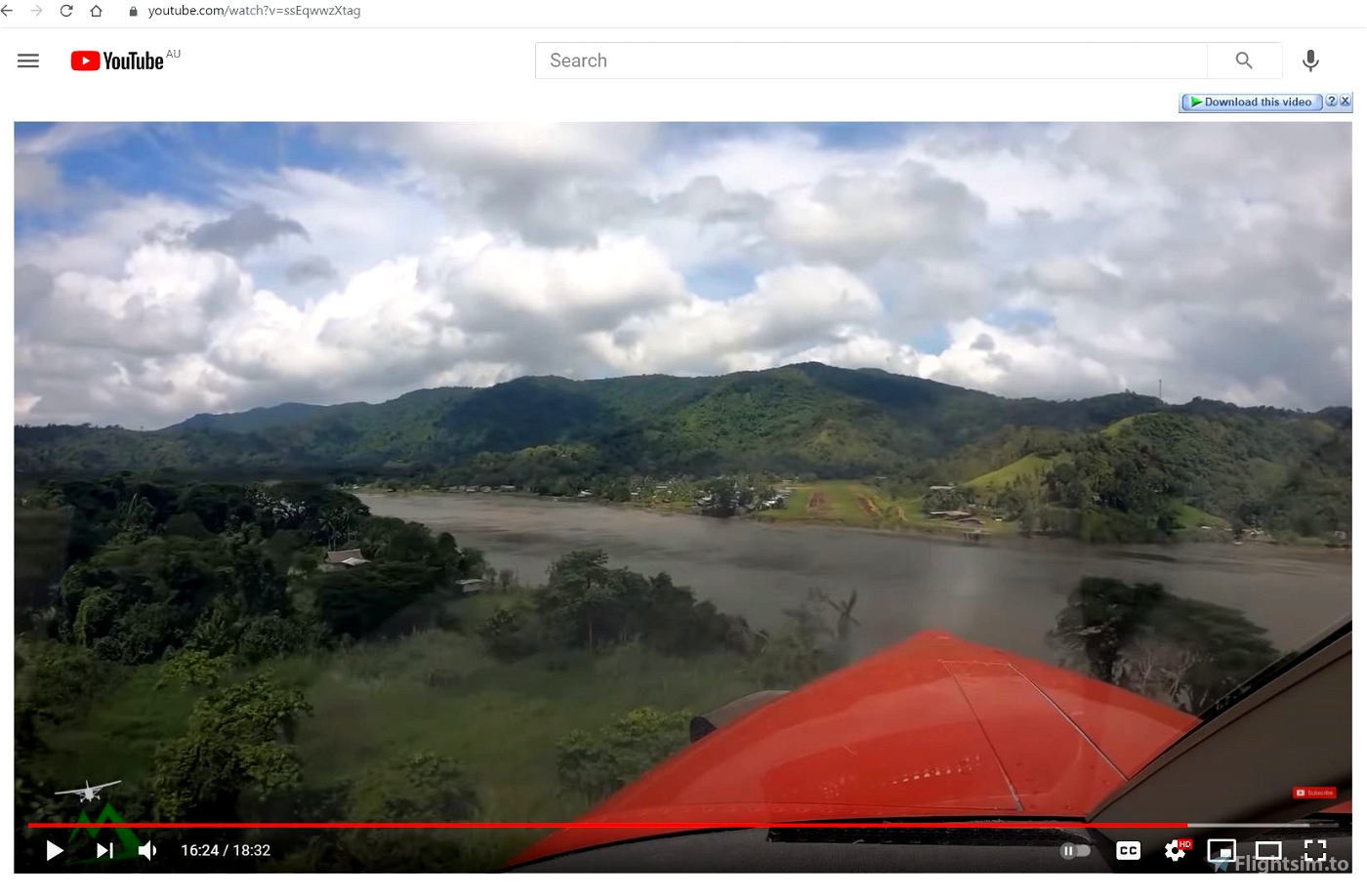
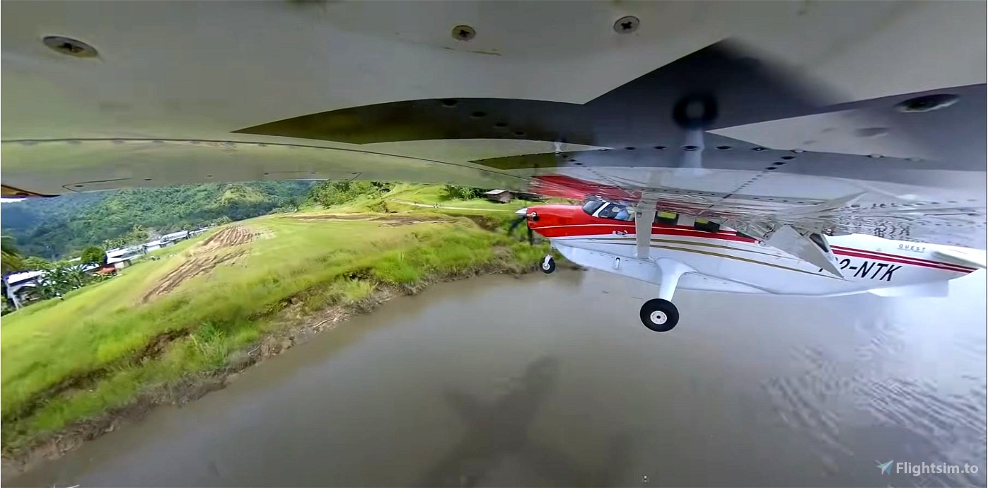
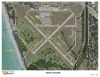
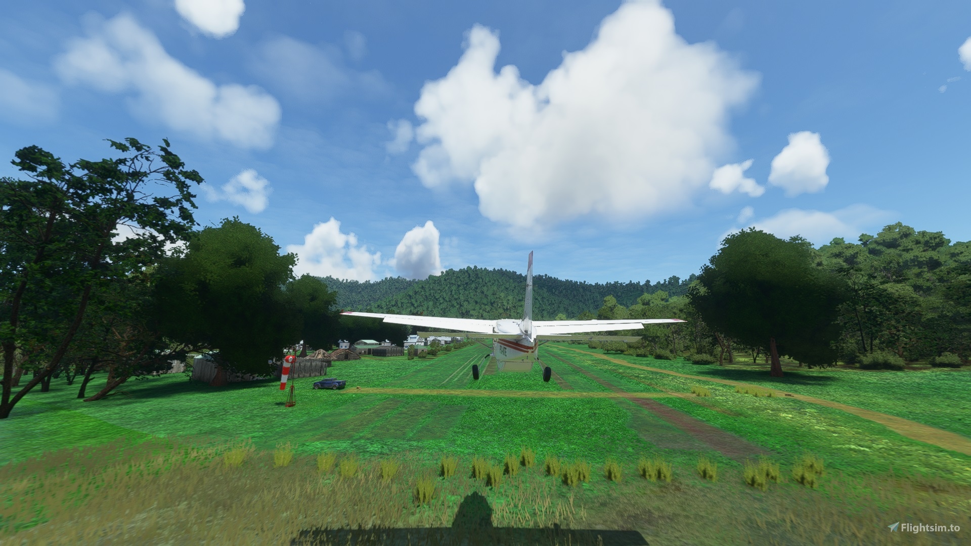
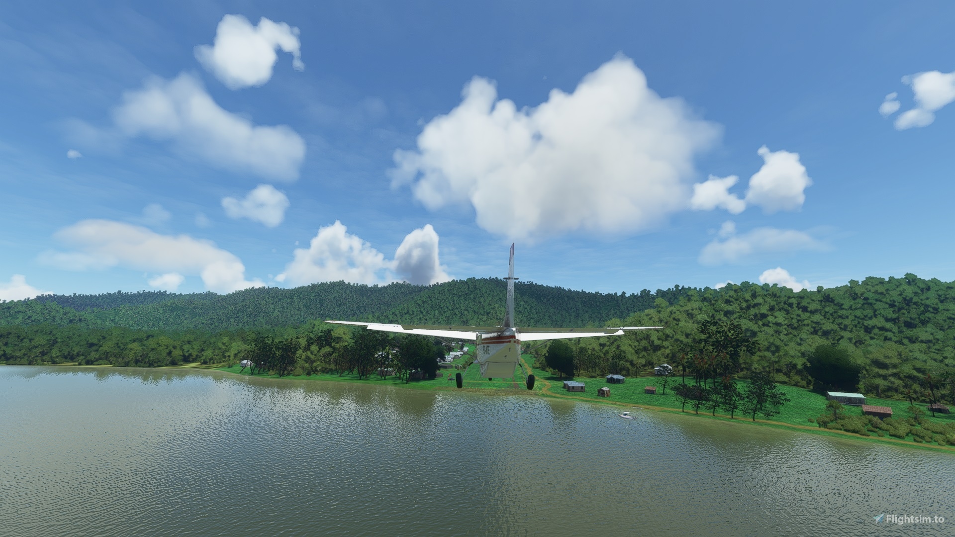
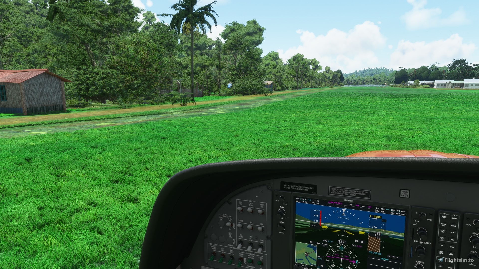
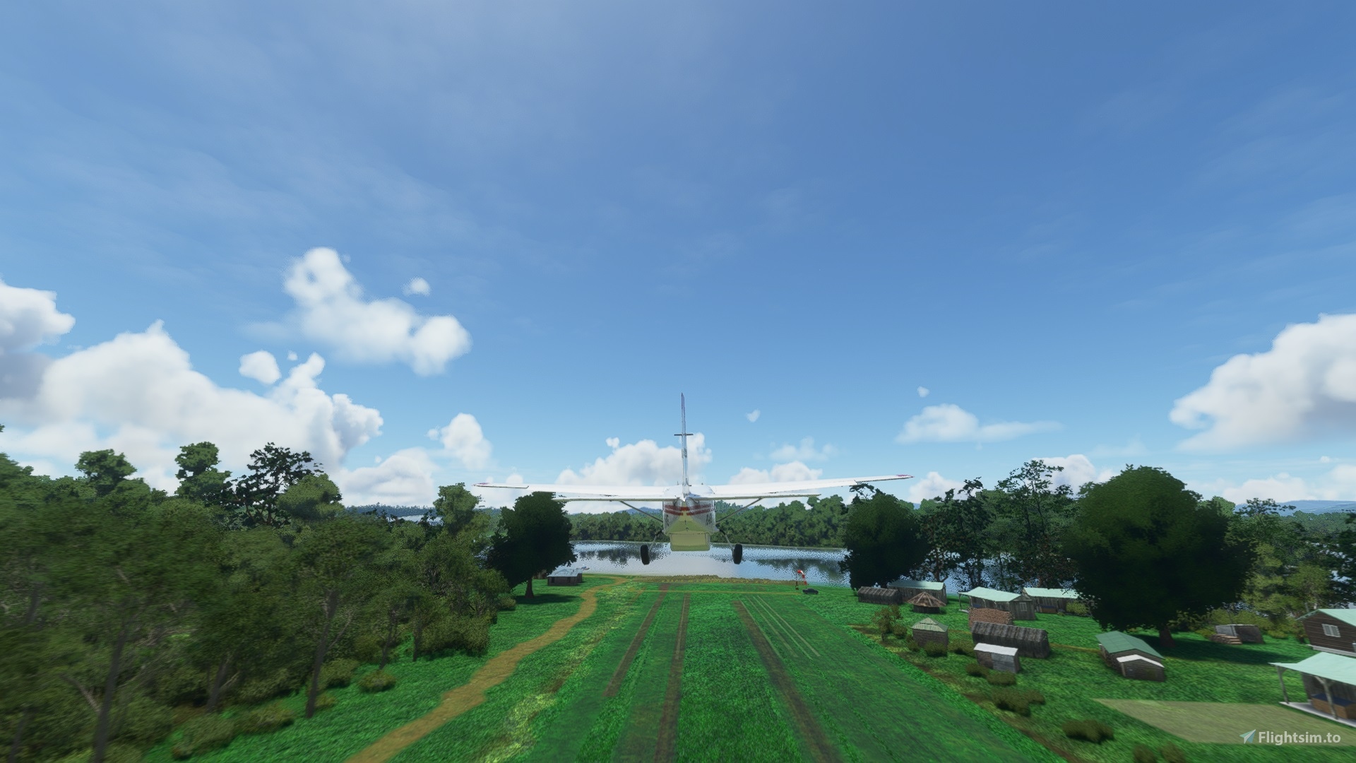
The airstrip is 720 metres long and 30 metres wide. It has a 1.8% upslope from runway 32 to 14. Coverage is grass, and is usually wet. You must land/take off in the runway centre. On both sides, there are many black skid marks from aircraft wheel damage to the wet runway surface. On the right side when looking up runway 32, there is a rocky water filled drainage trench on the right. It is very important to remain in the middle of the strip for landing and takeoff. The population use a small foot bridge over the drainage trench at the 32 end to cross the runway. There is also a jetty used by village people to move about the area by river. I have included some pics of the actual runway to show the runway landing area.
When the MFS 2020 SDK Terraform (land height changes) tool matures, I will cut a narrow twisting rock filled trench.
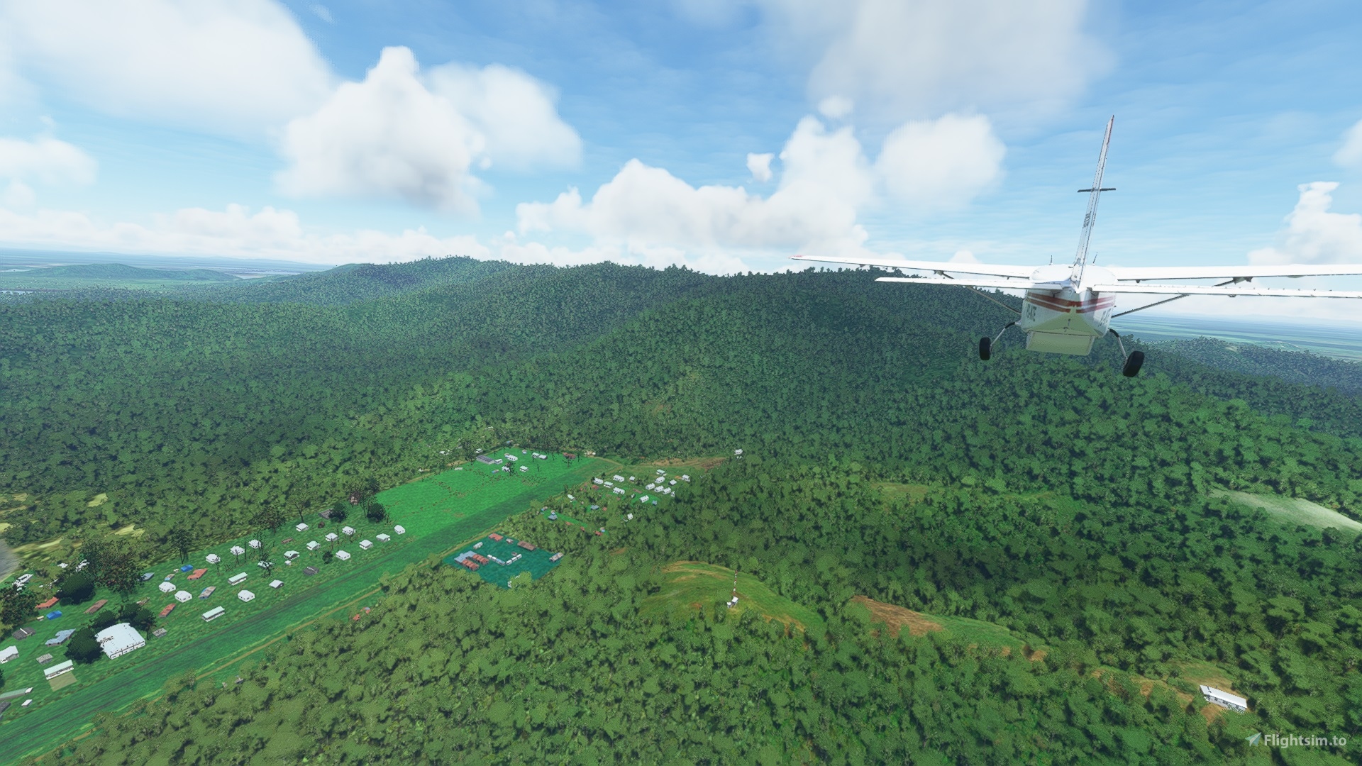
Because of the slope and the tree filled hill at the 14 runway end, the airstrip is one way. Land on 32, take off on 14. The circuit is left hand. If performing a go round, turn to the left, due to the tree covered hill on the right.
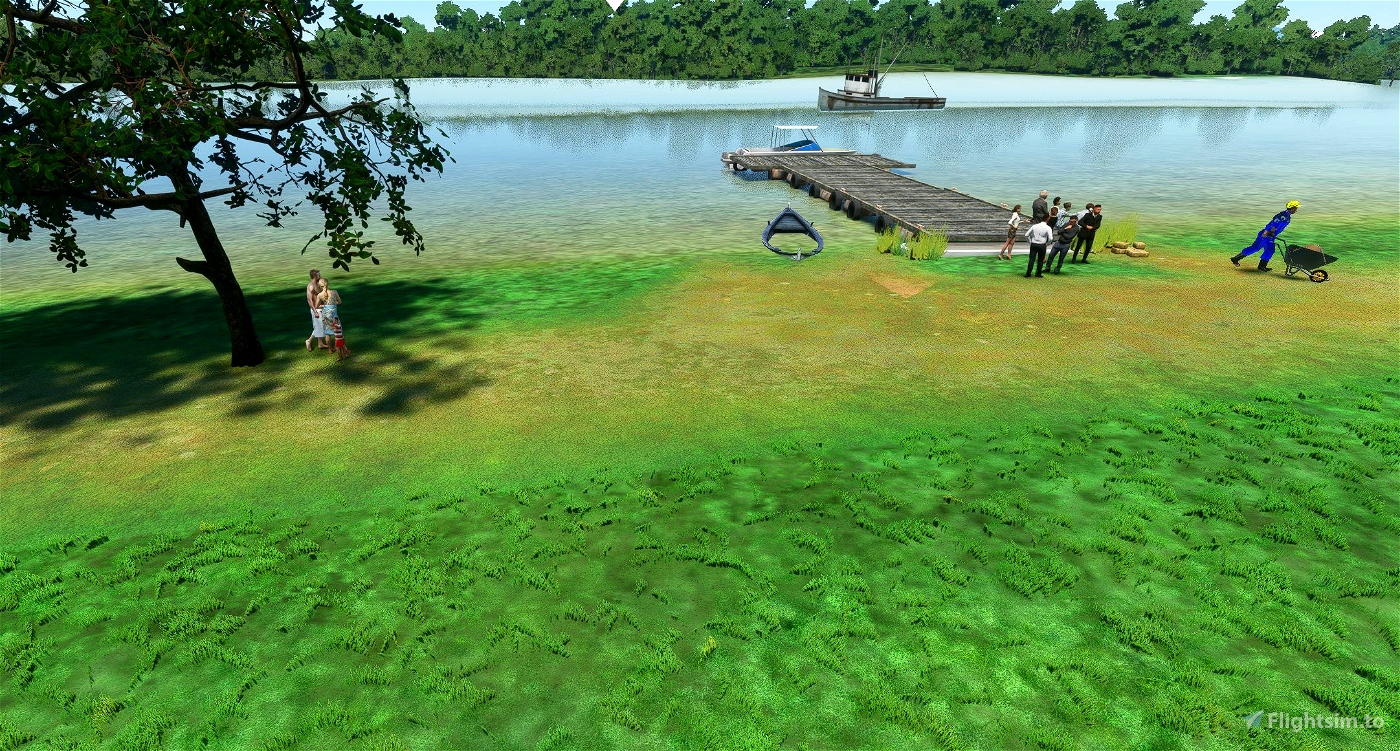
On the approach, opposite to the runway on the river bank, there are some trees you have to clear before final descent. As the runway is long, with a slight slope, this poses no issues. Don't hit the fishing boat. Often, the Missionary Bush Pilot will taxi back to the beginning of the runway 32 to meet the missionaries near the boat jetty. The missionaries may journey some 8 hours by boat to pick up air drop supplies.
Please make sure you place the downloaded package file into your Community Folder.
To be able to see the additional scenery items I have added, please make sure you also download and add these packages to your Community Folder:
https://flightsim.to/file/4696/dave-s-crooked-library
https://flightsim.to/file/1923/mikea-at-assetpack
https://flightsim.to/file/5452/dave-s-3d-people-library
https://flightsim.to/file/8157/jhscenery-master-library
https://flightsim.to/file/5806/fisherman-dave-s-seaplane-base-object-library

 por930


Koschi
robroy
por930 author
3 years ago
CaptJohnCoPPickles
por930 author
3 years ago
Cessna777
por930 author
3 years ago
bstikkel
First, I really love it, you started creating content for Papua New Guinea.
This land, so depending on the many airstrips, deserves attention.
Is it possible to re-coulor the groundpicture(s) in that way it does fit just a bit more in the surroundings? I think it could have a less blue in it and maybe a bit more yellow and red.
Times ago I have been develloping some airports myself, and one of the things I did, was varying bushobjects in size and in direction. That way it is less recognizable it are actually the same objects. Just two tips.
Keep enjoying creation (dubble meaning) 😉
Kind regards
Bram Stikkel
por930 author
3 years ago