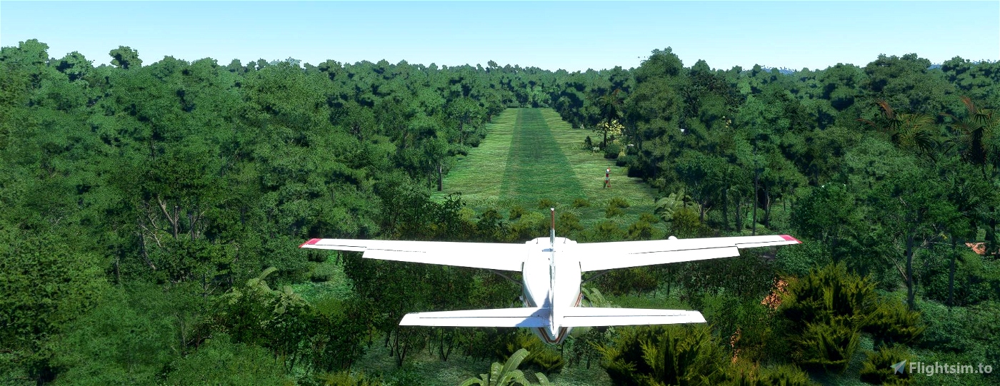


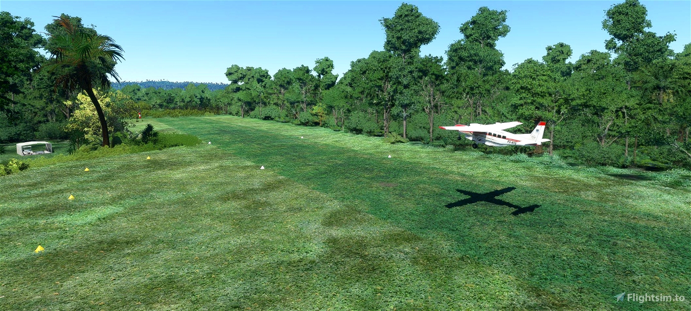
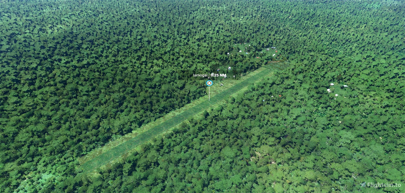
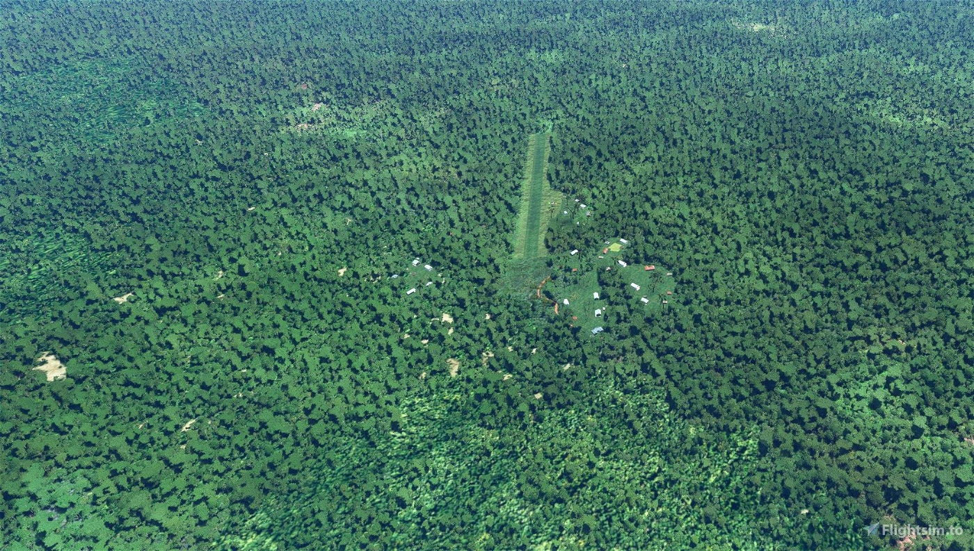
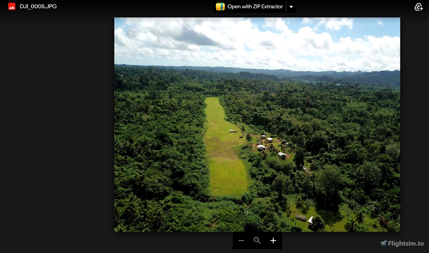
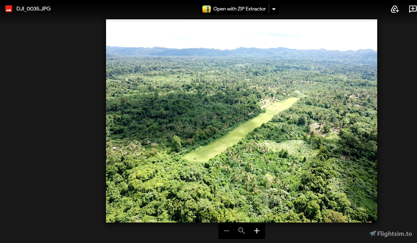
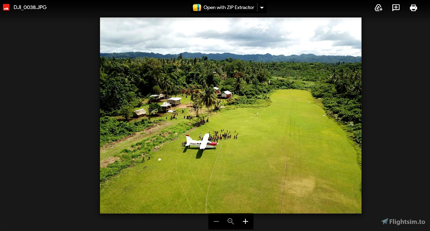

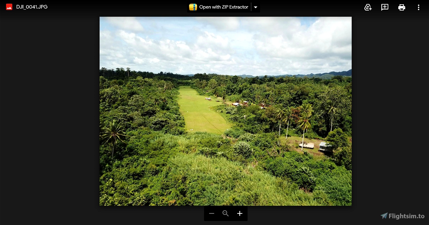
Lamogai, ICAO code of AYLJ is located in the west of New Britain PNG, surrounded by a dense forest. It is 595 metres long by 28 metres wide. It has a 1% slope up to the NE. The actual airport has an elevation of 500 feet. My rendition is indicating 526 feet. When my Terraforming ( land heights tool) ability improves, I will amend the airstrip height.
The closest airstrip to Lamogai is Mok, AYMK, some 15nm to the west. Two other larger airstrips are Hoskings AYHK 69NM to the east and Kandrain AYMK 26NM, to the south east. Goroka, the Missionary Bush Pilot's home base is some 235nm to the West.
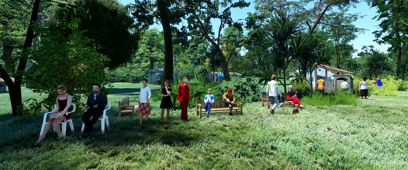
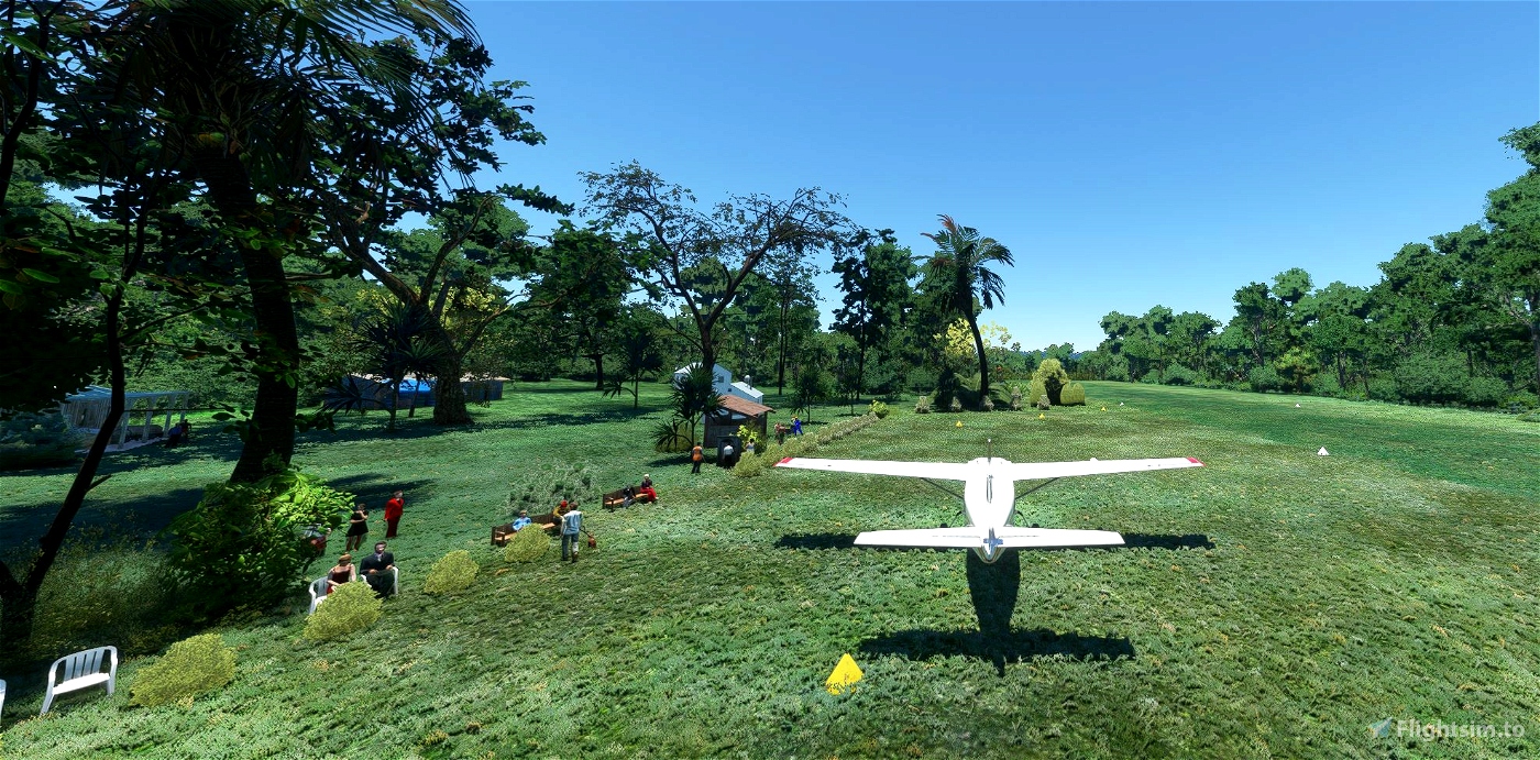
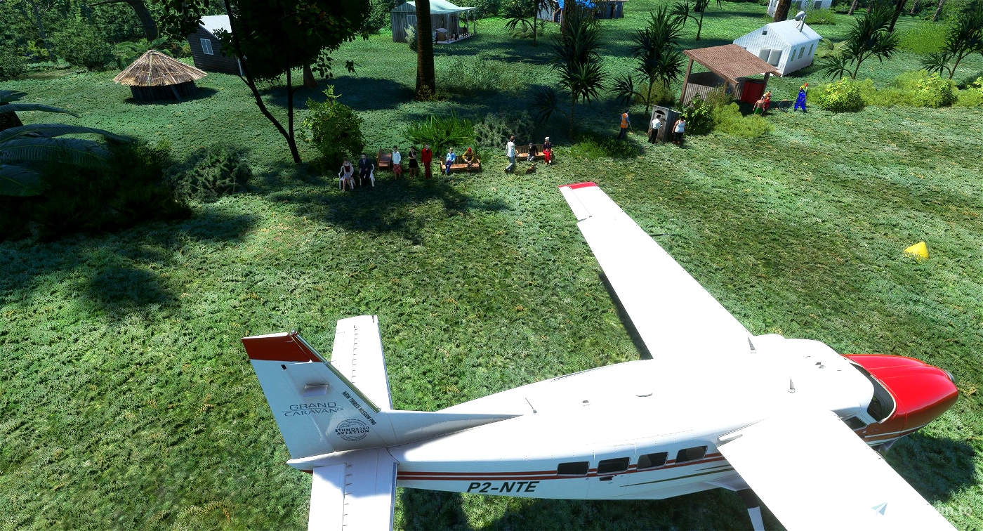
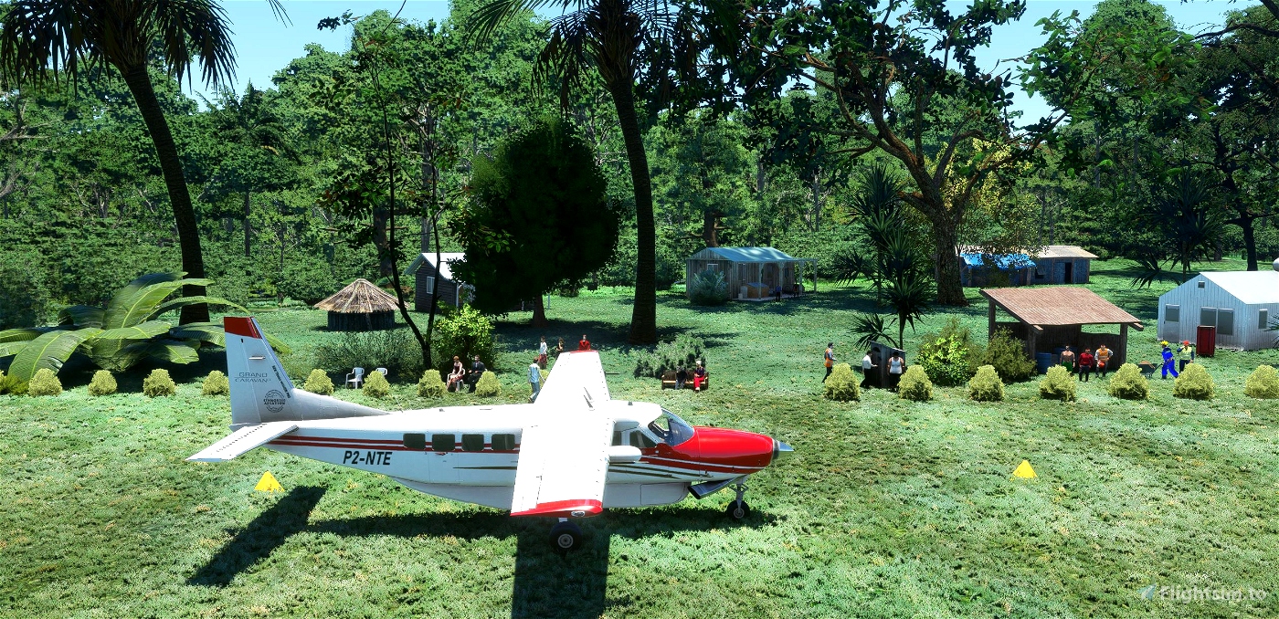
The Lamogai airstrip is one way. Meaning, you approach and land on runway 04 to the east, and due to the high trees at the end of runway 22, all take off's are from runway 22, to the west. There is a parking area on the eastern side of the airstrip, where some of the village houses and maintenance sheds are located.
Lamogai is not represented in MSFS by its ICAO code of AYLJ, (MSFS incorrectly shows Gasmata Island Airport) so I have created a MSFS code called Lamo to find the airstrip.
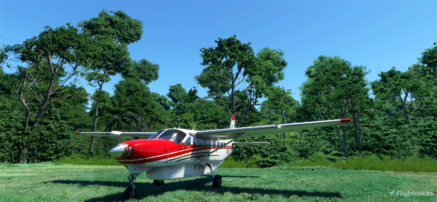
I have provided some pics of the actual airstrip (provided by Ryan, Missionary Bush Pilot) as well as some of my pics of the MSFS version.
I had to create the entire airstrip from amongst the forest, as well as the villages. When MSFS provides a better grass, I will upgrade the runway. When you download the package file, please install it into your community folder.
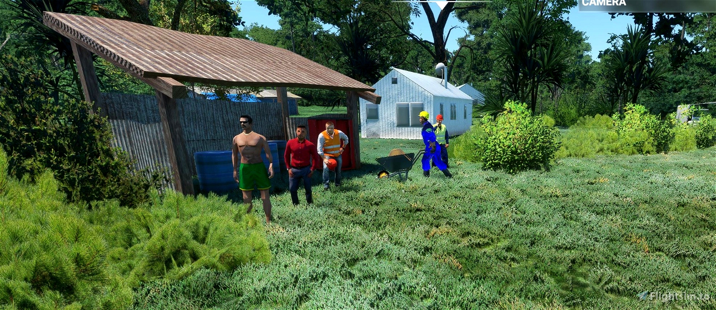
To be able to see all the buildings and people in this scenery file, you will have to also download these files from these very talented owners.
https://flightsim.to/file/4696/dave-s-crooked-library
https://flightsim.to/file/1923/mikea-at-assetpack
https://flightsim.to/file/5452/dave-s-3d-people-library
Place all packages into your community folder.

 por930


CaptJohnCoPPickles
Can't wait to try, Thank-You! 😀
robroy
por930 author
3 years ago
por930