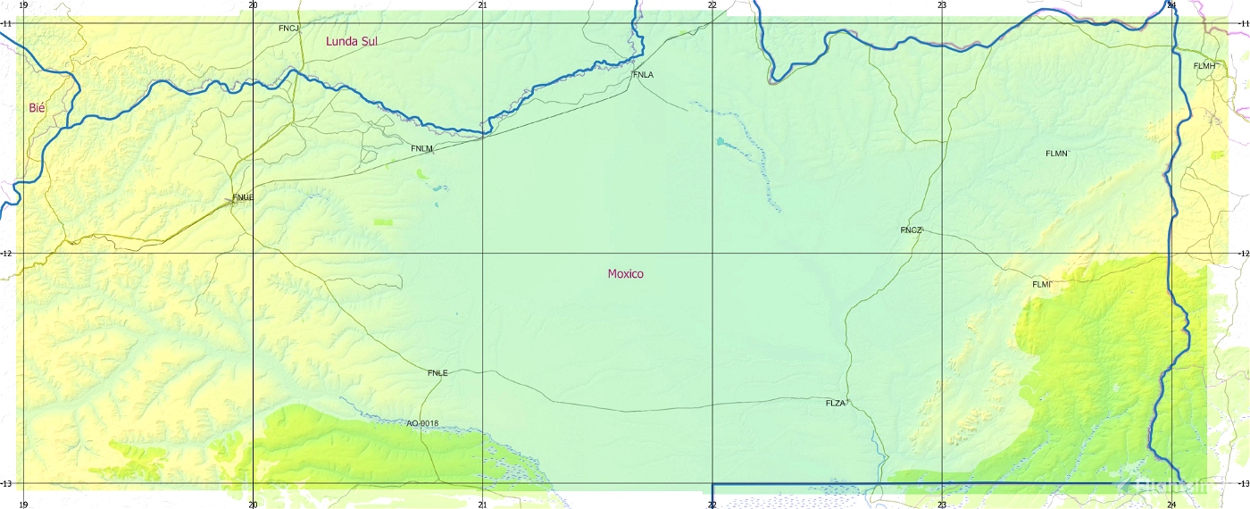
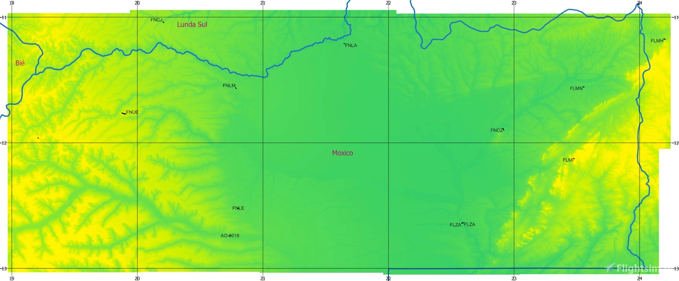

ASF ETM12m Angola - Enhanced Terrain Mesh 12m for Angola vol. 07 – Moxico - version 1.00
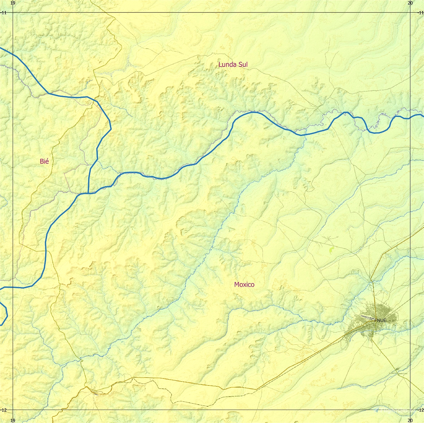
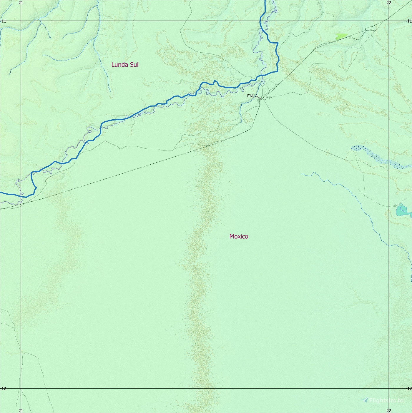
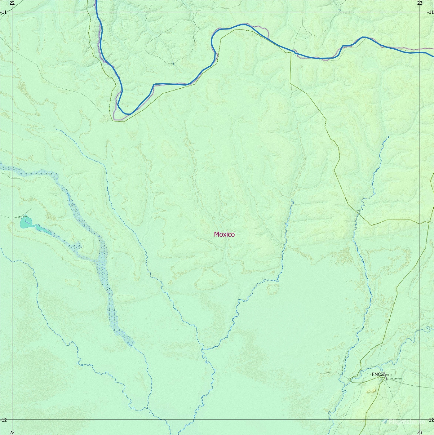
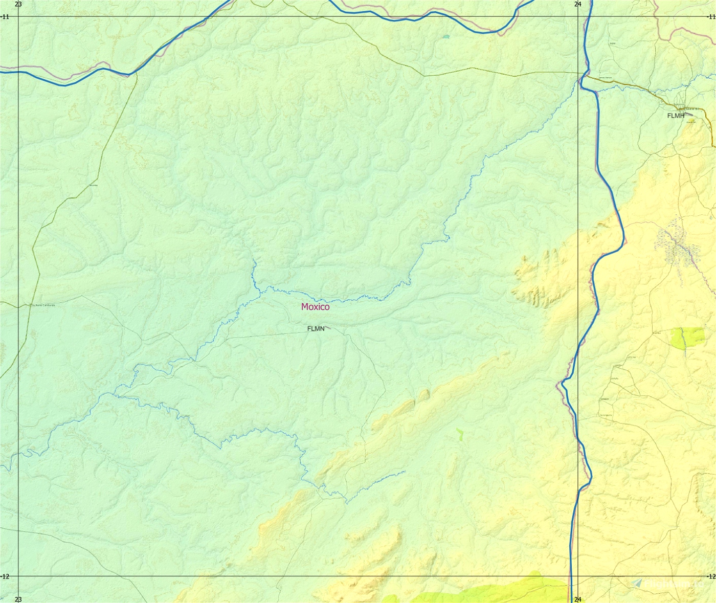
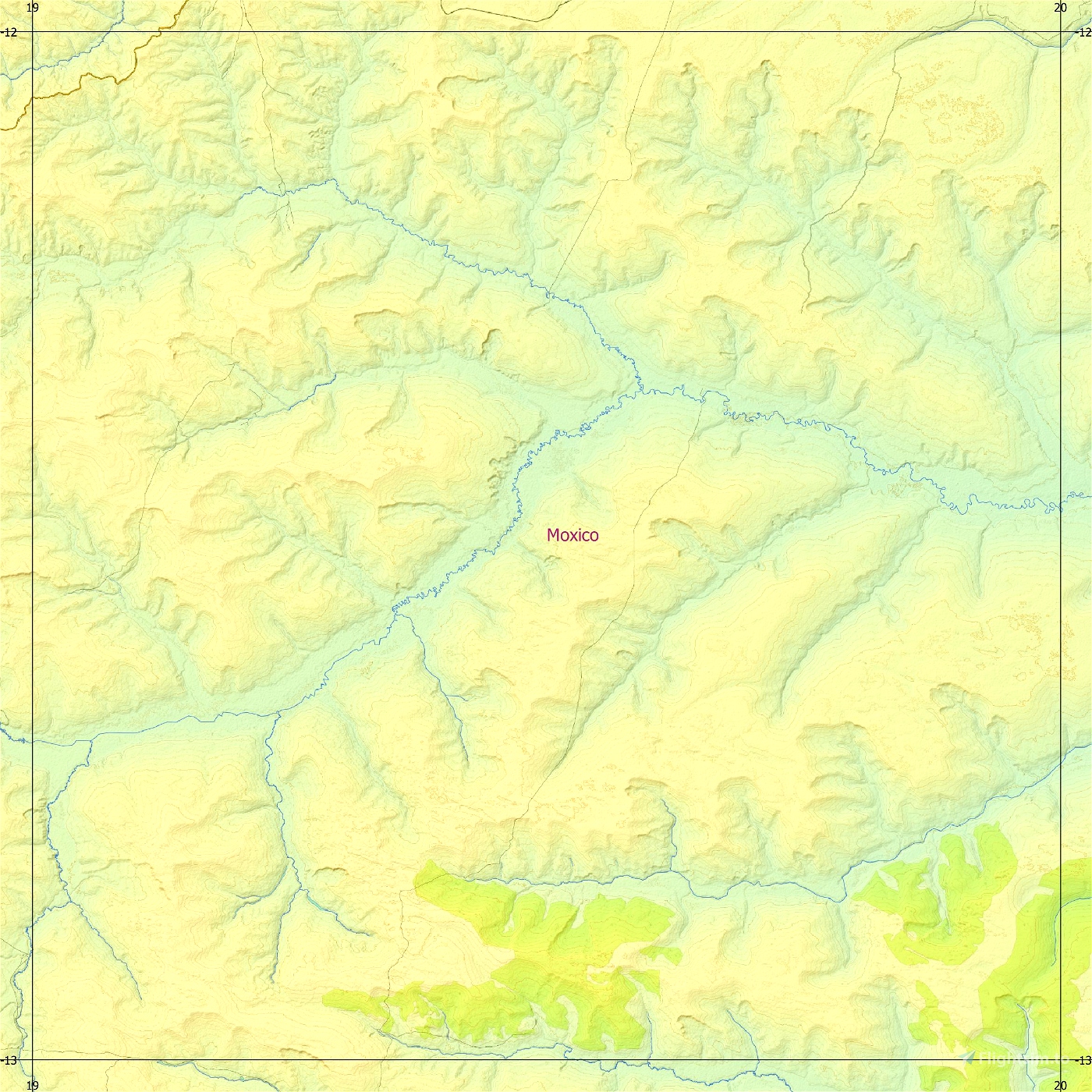
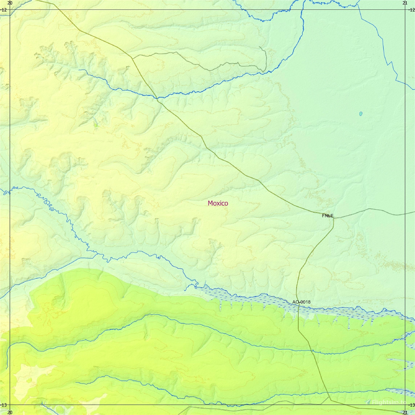
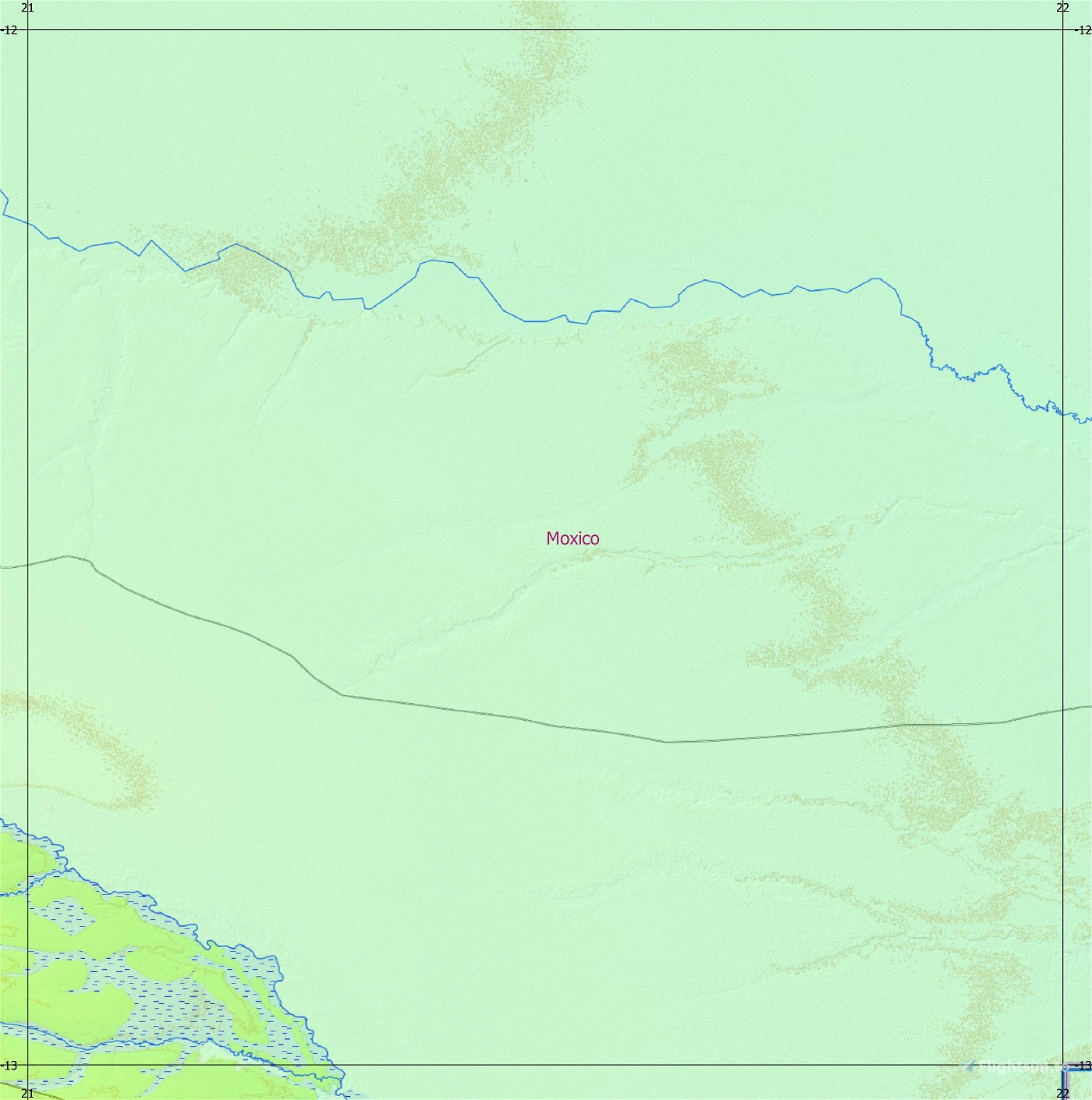
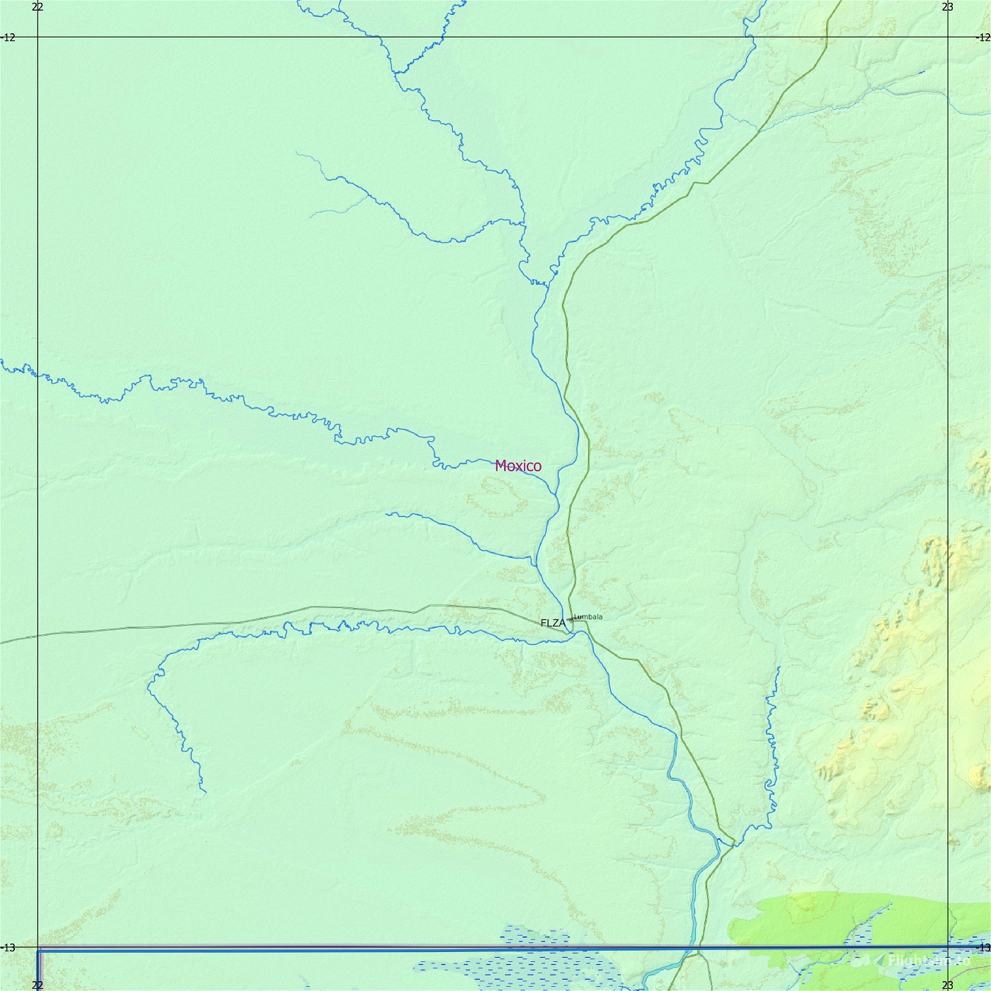
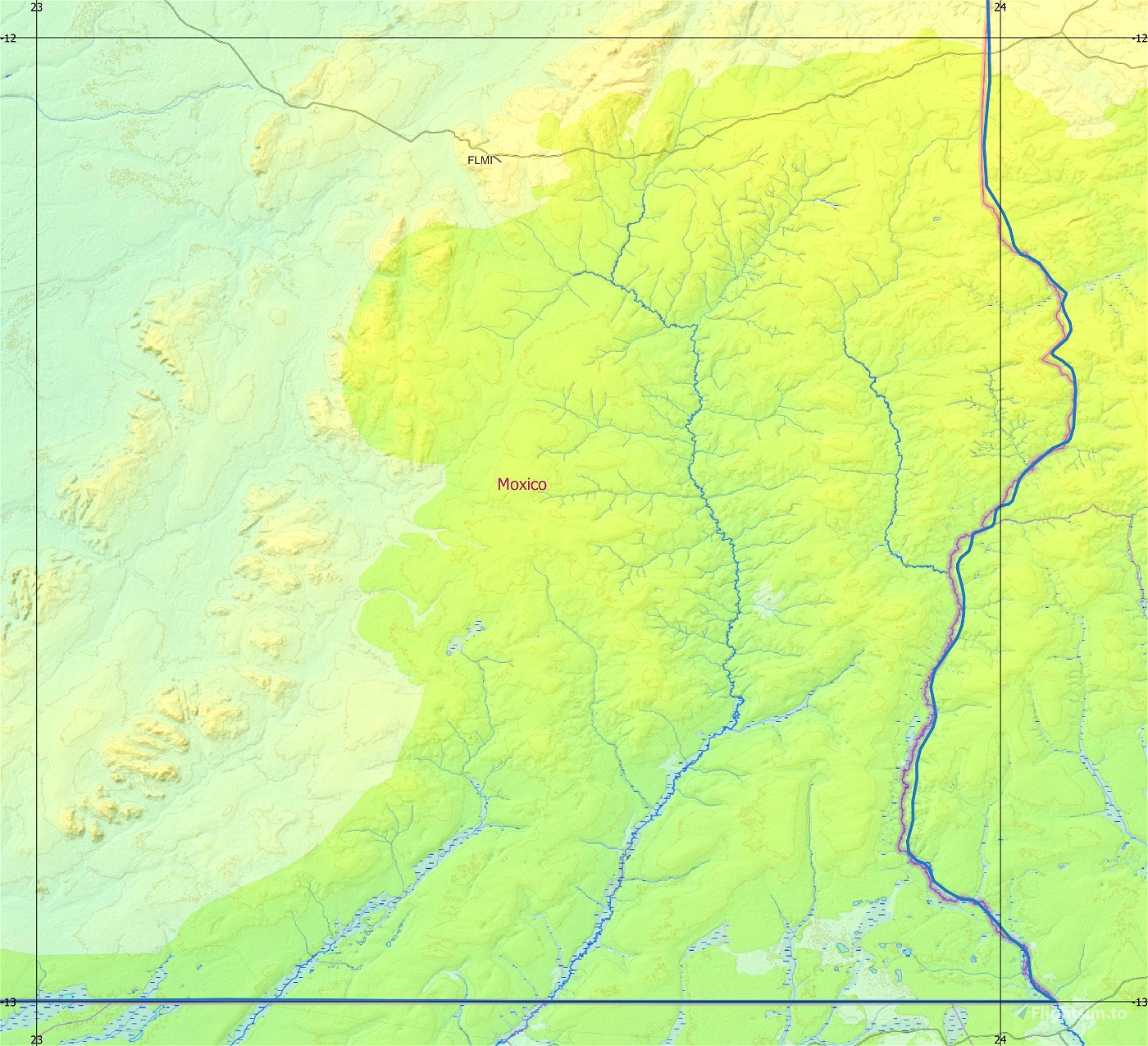
This is an Enhanced Terrain Mesh ALOS PALSAR RTC 0,41 arc sec (12,50 meters). Mainly the area covered by this terrain mesh is related to the region of ... see coverage map.
This project is part of a larger work, for those who are more practical, I recommend to install everything in a single folder \ italiancharterteam-ao-dem the various volumes of the forthcoming publication and then to update the layout.json file with this HughesMDflyer4 / MSFSLayoutGenerator , If you install each volume separately, nothing needs to be done.
There are some recommended files for this add-on. See here "Dependencies"
Angola North, Part Three by Frontech and Angola West by Frontech ; a bush trip.
Affected Sceneries
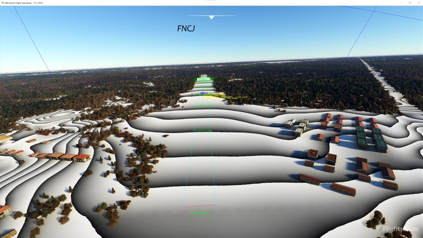
Any large Payware and Freeware Airport I could think of, has been excluded from the mesh. So hopefully the glitches will be minimal. The coastline should be completely redesigned .... it could be the subject of a separate project.
Please report any bugs with sceneries or airports and I will see what I can do!
ACKNOWLEDGEMENT
Alaska Satellite Facility
Dataset ALOS PALSAR_Global Radar Imagery (2006-2011) Radiometric Terrain Corrected (RTC) DEM 12.5mt
Created using MSFS Toolkit by Nool Aerosystems (MSFS Toolkit)
Thank you both and for anyone reading this: Please go ahead and support them!
Enjoy your VFR flights above the Angola!
Ivao Angola and Aeroplano Virtual - The African Flyer
On Discord: Gjanosh61#9850
Please don’t feel as though you have to, but if you wanted to buy us and the team a coffee to support the work. Thank you very much.

 Gjanosh61


TheAfricanFlyer
Top