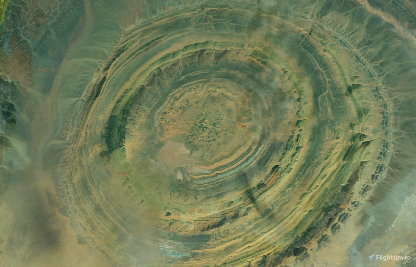
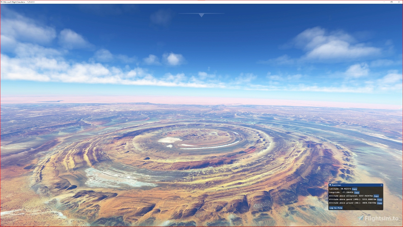
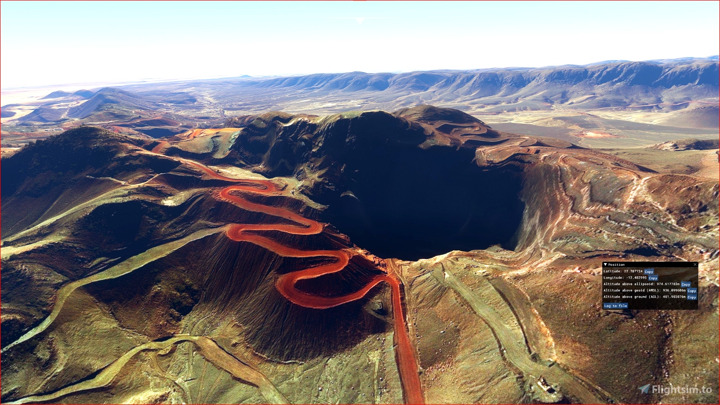
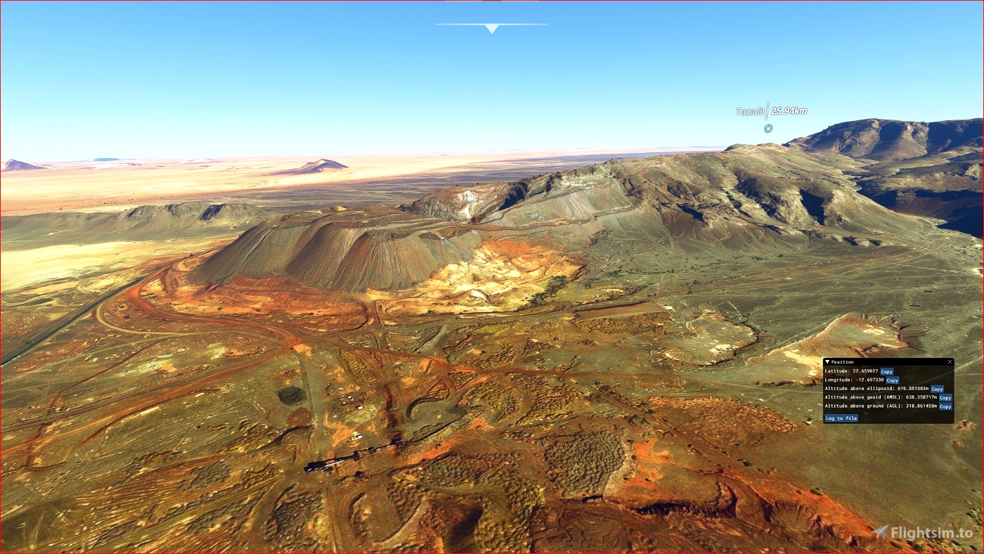
ETM10 Enhanced Terrain Mesh 10m for Mauritania - Eye of Sahara vol.01 - version 1.0.0
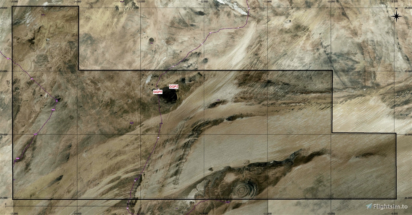
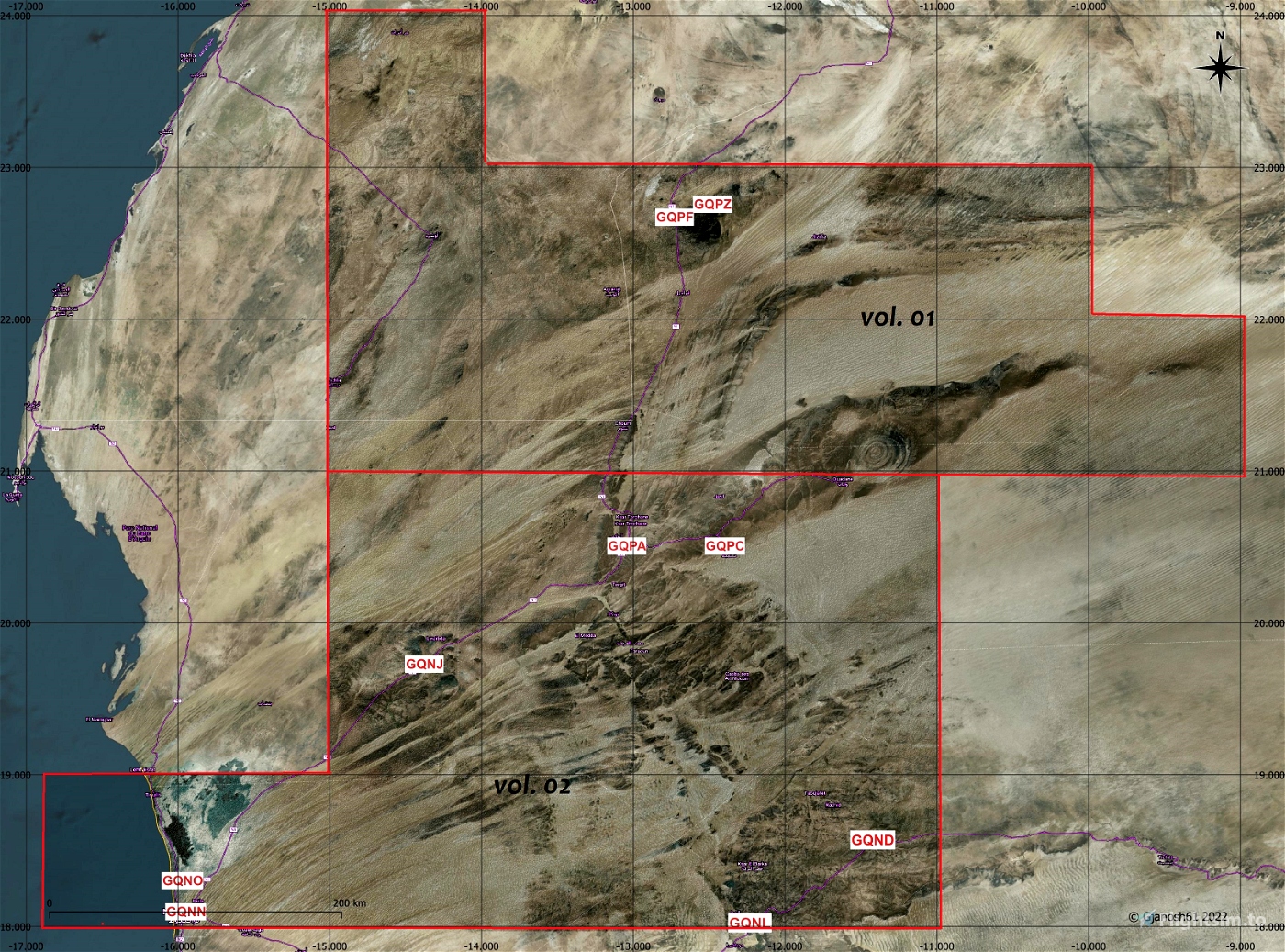
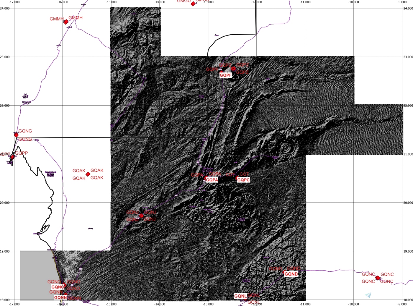
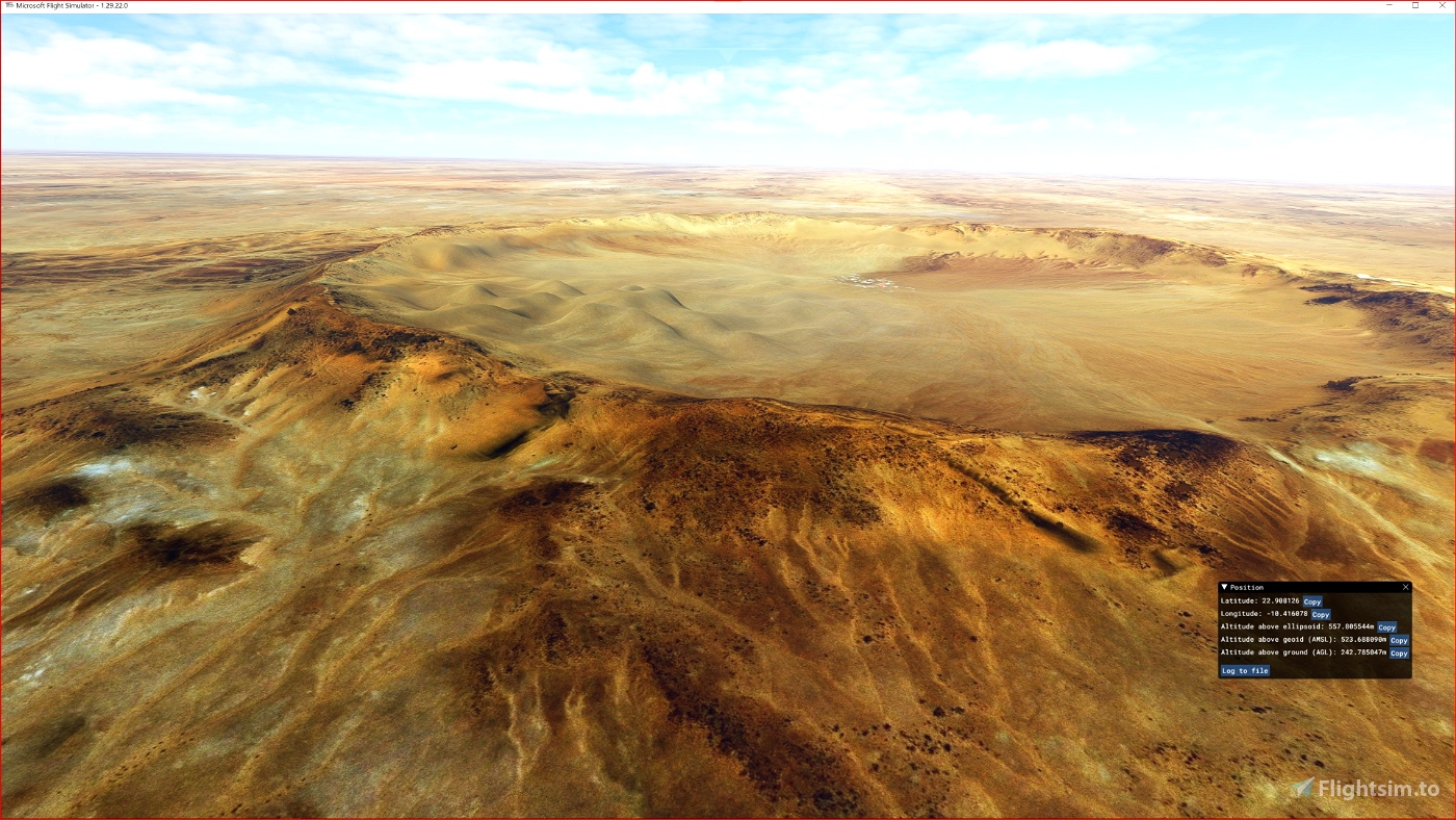
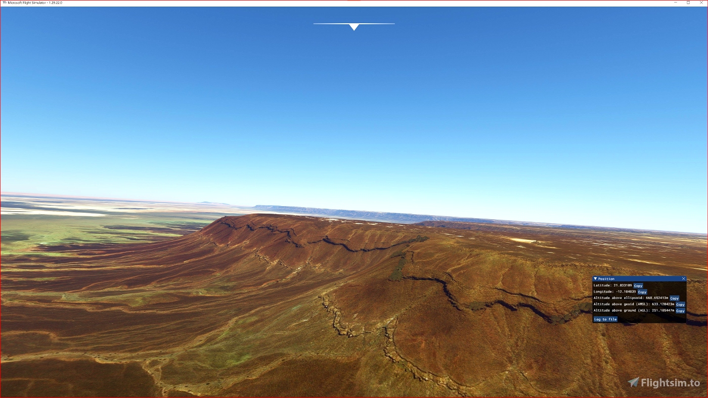
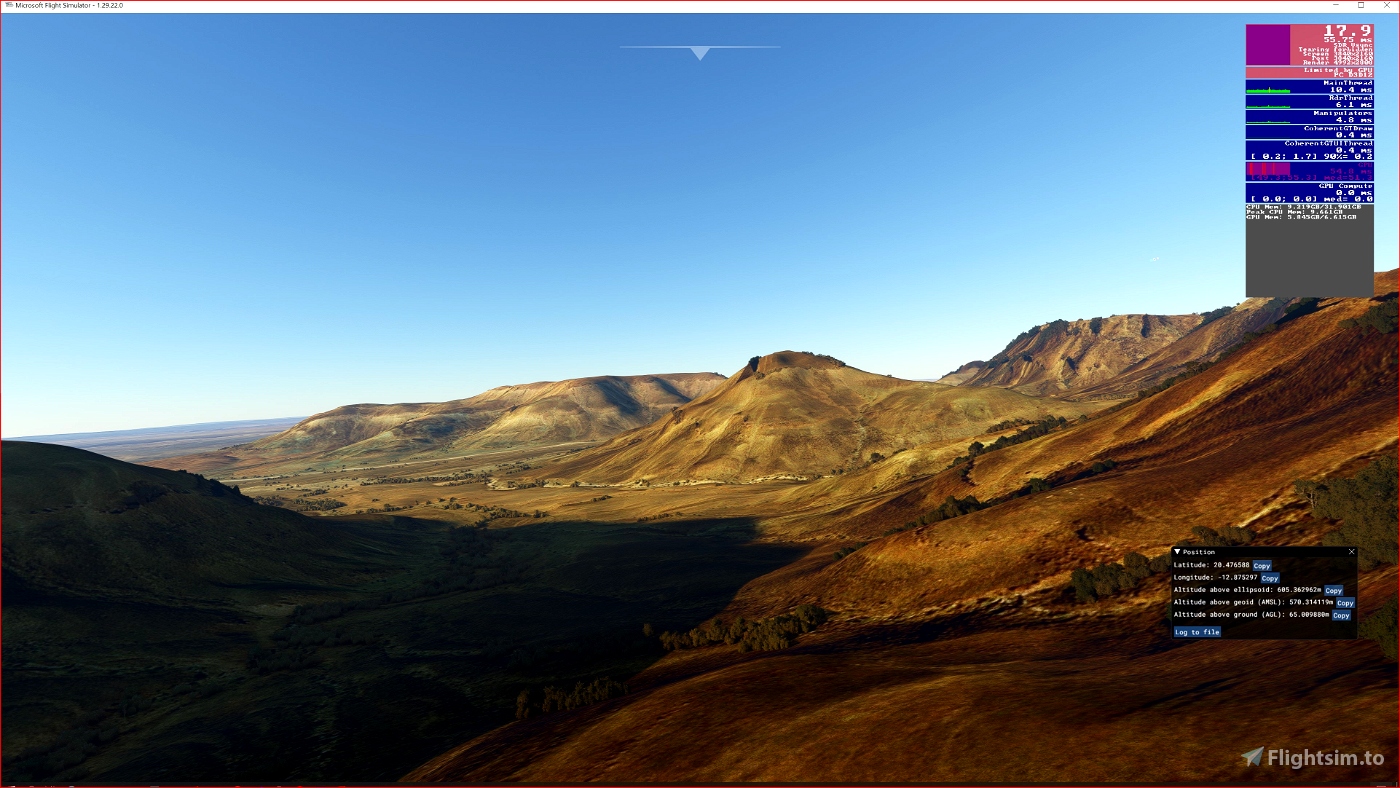
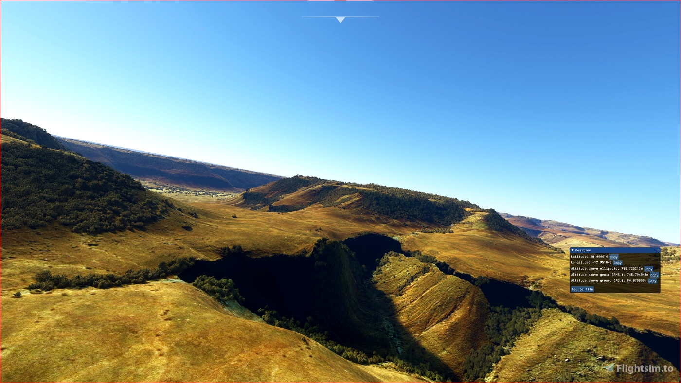
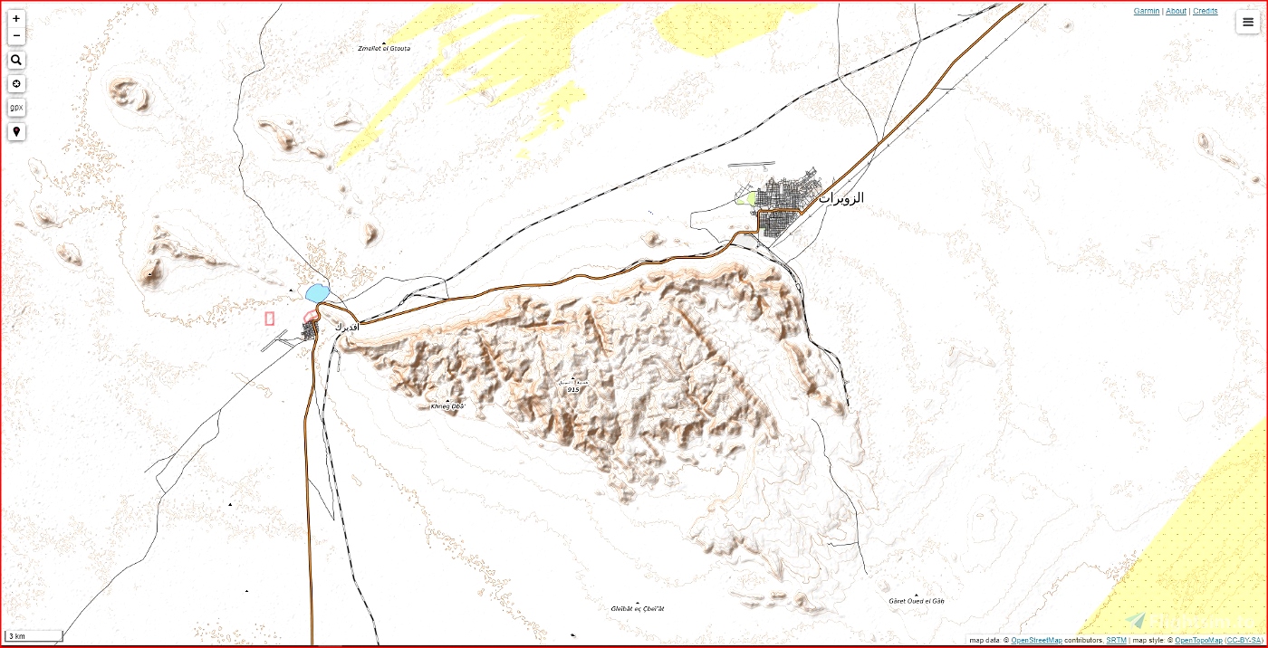
This is an Enhanced Terrain Mesh derived from Sentinel-1A mission of the European Radar Observatory for the Copernicus joint initiative of the European Commission (EC) and the European Space Agency (ESA), 1/3 arc sec (10 meters). Mainly the area covered by this terrain mesh is related to the region of ... see coverage map.
Affected Sceneries
Any large Payware and Freeware Airport I could think of, has been excluded from the mesh. So hopefully the glitches will be minimal.
Please report any bugs with sceneries or airports and I will see what I can do!
Created using MSFS Toolkit by Nool Aerosystems (MSFS Toolkit)
Enjoy your VFR flights above the Mauritania (Eye of Sahara, Ben Amera). To better enjoy your VFR, the recommended flight altitude should not be above 500ft AGL.
On Discord: Gjanosh61#9850


 Gjanosh61


ThelynxPA
Gjanosh61 author
4 months ago
Wallterz
Beautiful works!
Hope you will make a mesh for Algeria and other countries in Afrika
Gjanosh61 author
I like Algeria ... the Atlas mountain range stretches for 2500km ... you could be. But first I would like to go to Far East ... I am studying a beautiful island with ETM10m.
2 years ago