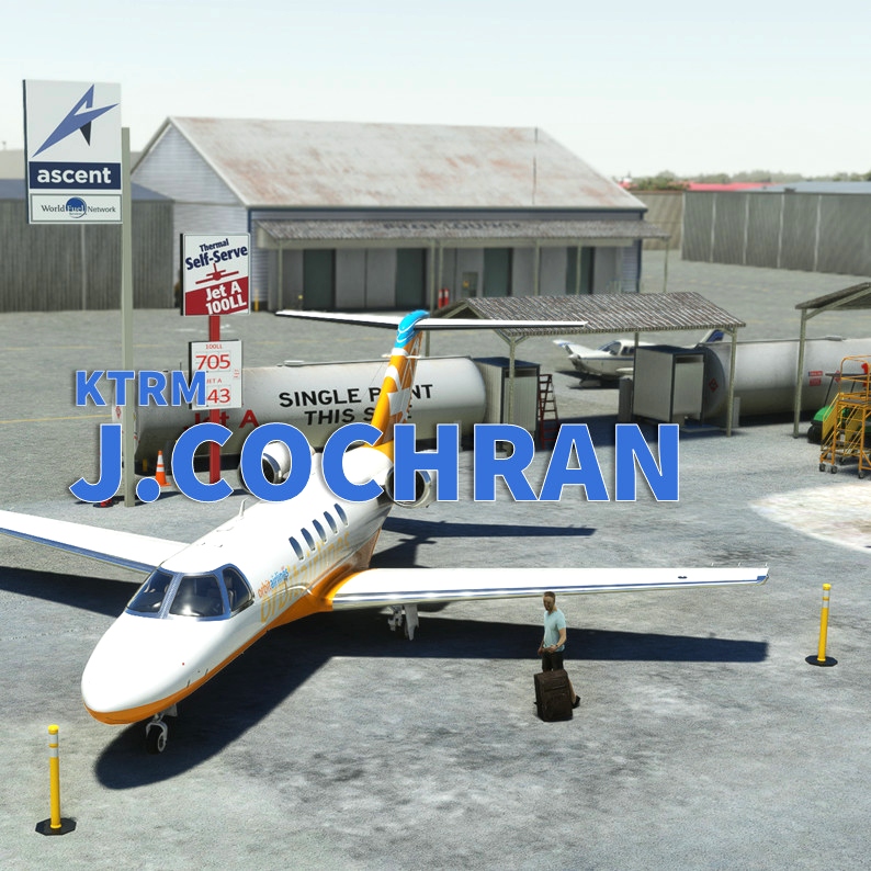
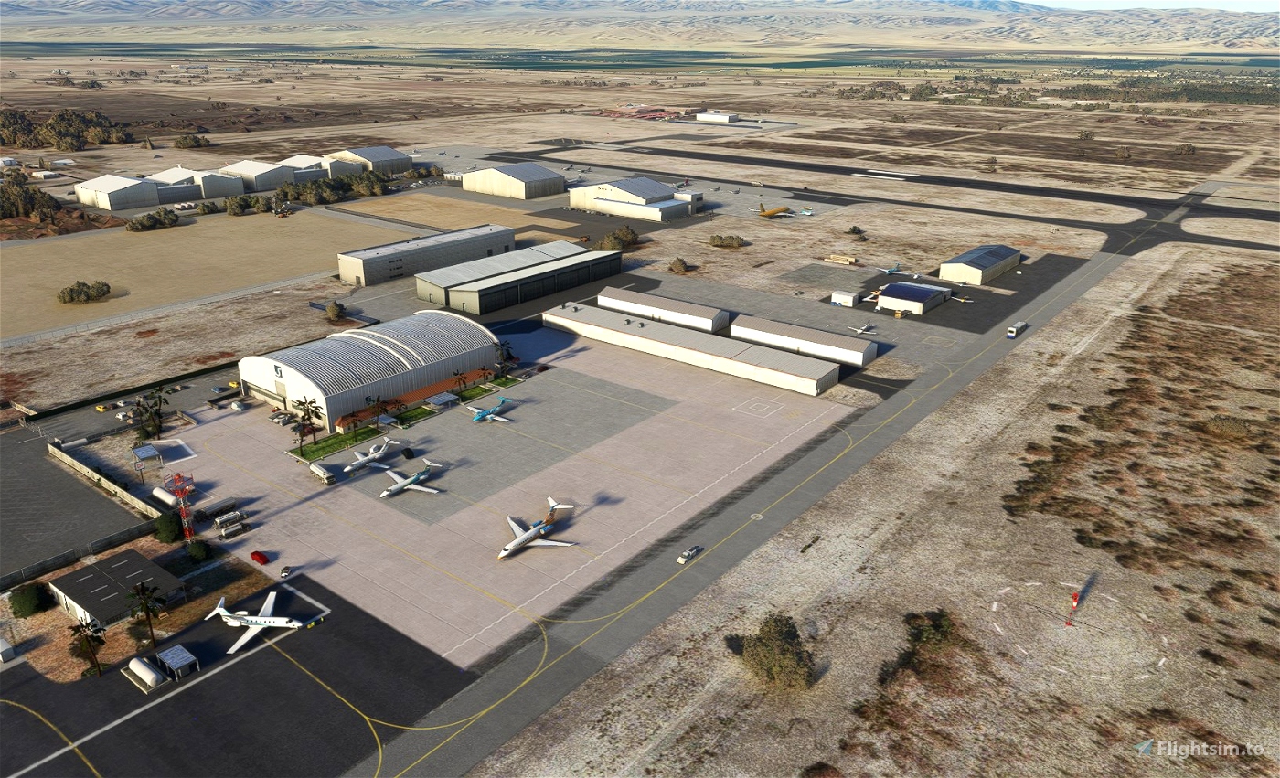
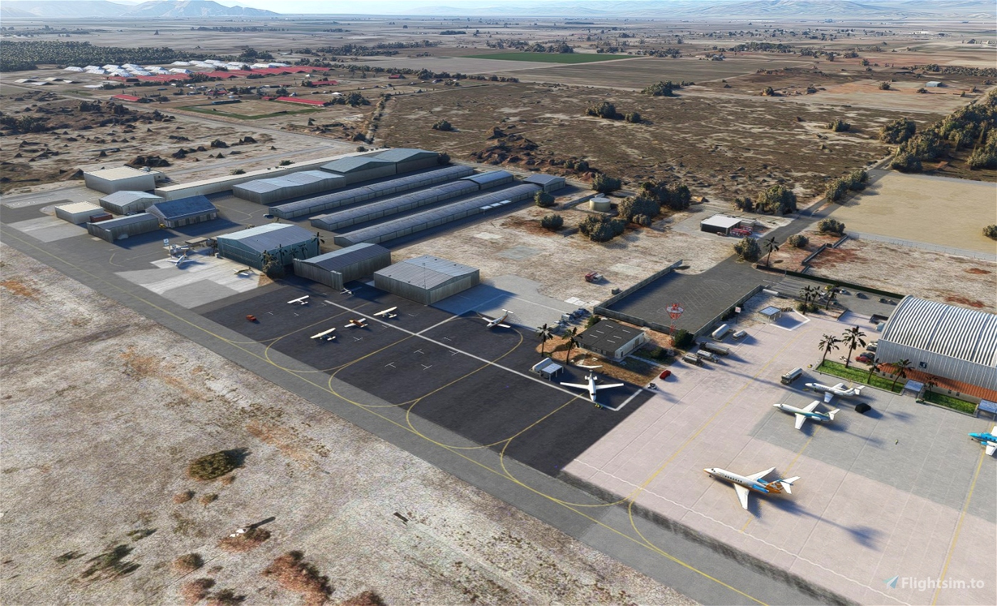
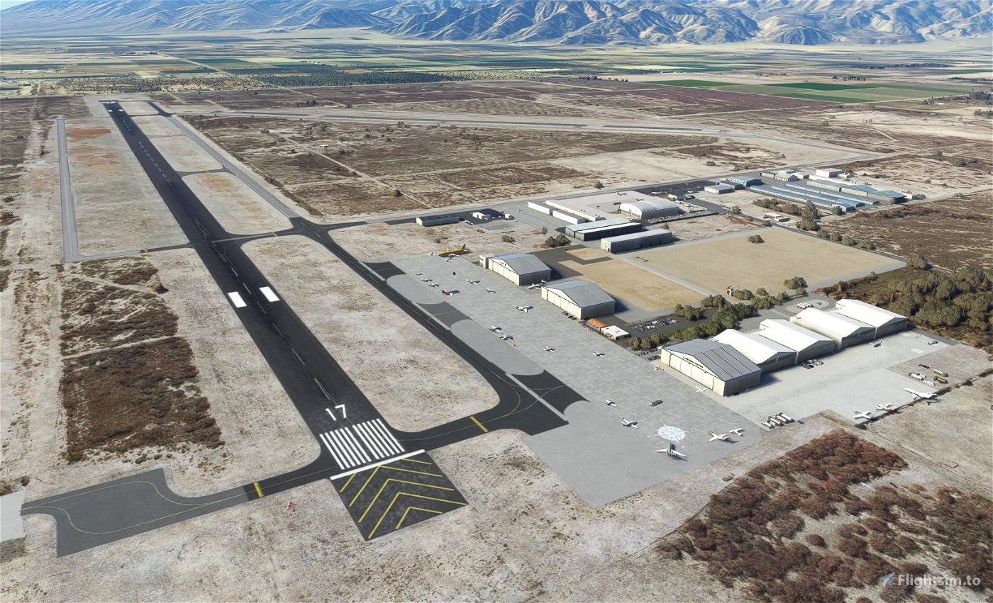
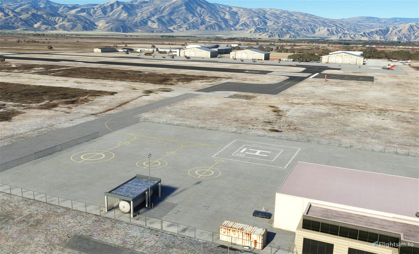
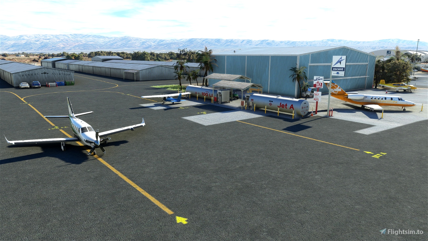

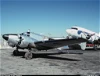
The Jacqueline Cochran Regional Airport (ICAO: KTRM) is located in the Coachella Valley—known as the Desert Resorts Region, the City of Palm Springs. 70nm up north San Diego and 115 nm east from Los Angeles LAX. KTRM is 115 feet (35 m) BELOW mean sea level. It has two asphalt paved runways: 17/35 is 8,500 by 150 feet (2,591 x 46 m) and 12/30 is 4,995 by 100 feet (1,522 x 30 m). You'll also find FBO's, Civil Air Patrol (CAP),Riverside County Sheriff Thermal Heliport (ICAO: 1CA2), flight school and of course avionics and mechanics shop.
Author's note
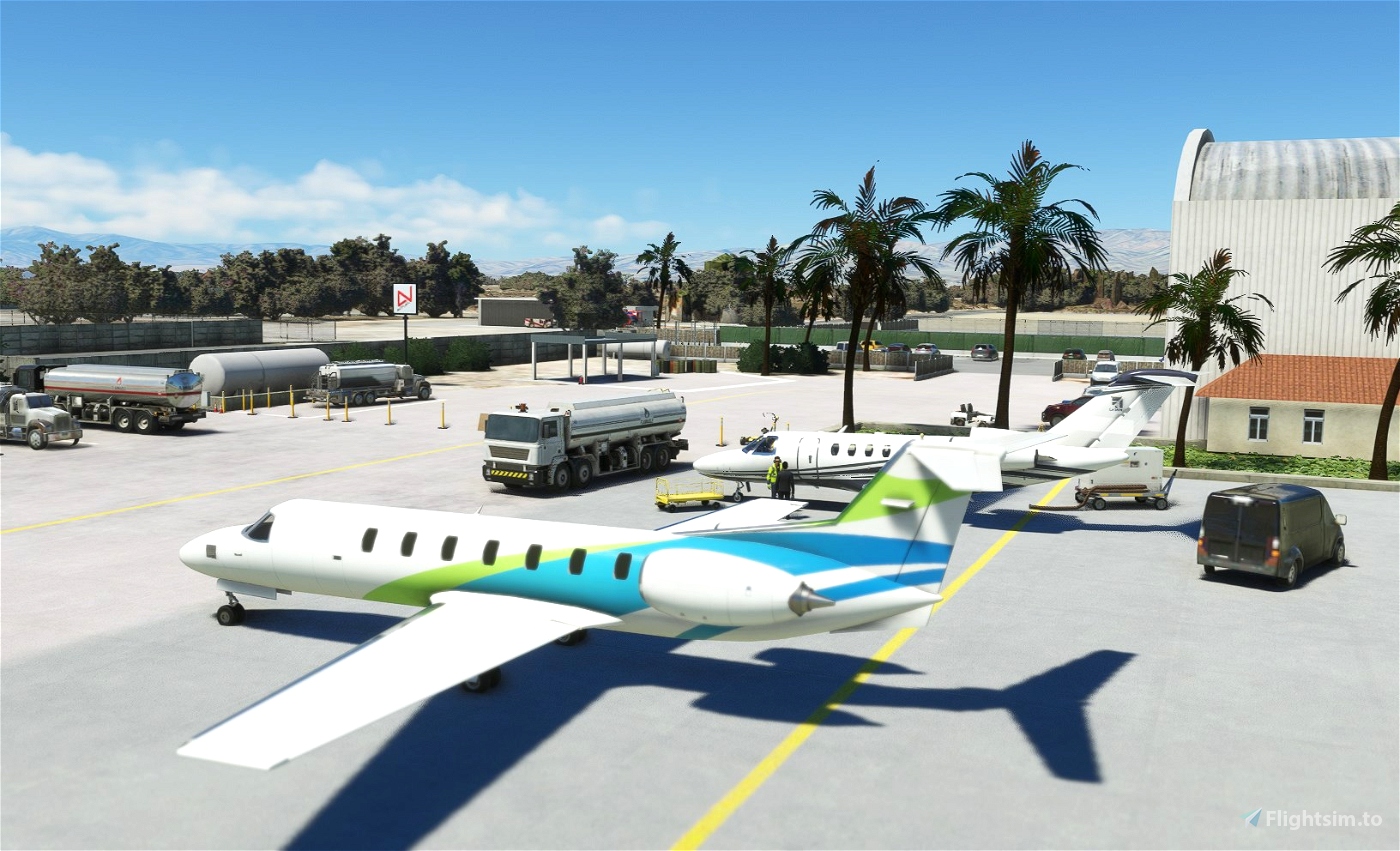
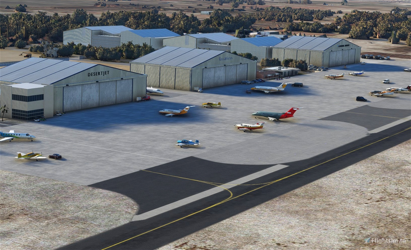
As for all of my MSFS mod, this small scenery is made from a pilot-eyes perspective. FBO's has changed a lot this last years at Thermal: Desert Jet Center Landmark, Ross Aviation, Thermal Aviation Self-serve, Signature... and I wanted to keep all these names although it's not anymore as real as it get, today Sept'22. Let me know what you think.
In real, I'm a Plus One Flyers member and mostly fly from Montgomery Field (KMYF). I'm real PPL, but a rookie amateur scenery developer: this mod is made with 99% of MSFS default objects library and feature massive number of details. The scenery is inspired by aerial views from Bing and Google maps. It's a mix between the satellite imagery displayed from MSFS and more accurate data found on Internet. I did my best based on online video and online pictures.
900+ objects have been added to the default scenery to make in more live and bring a touch of an active area. If you have local pictures to help being more accurate, let me know!
Features
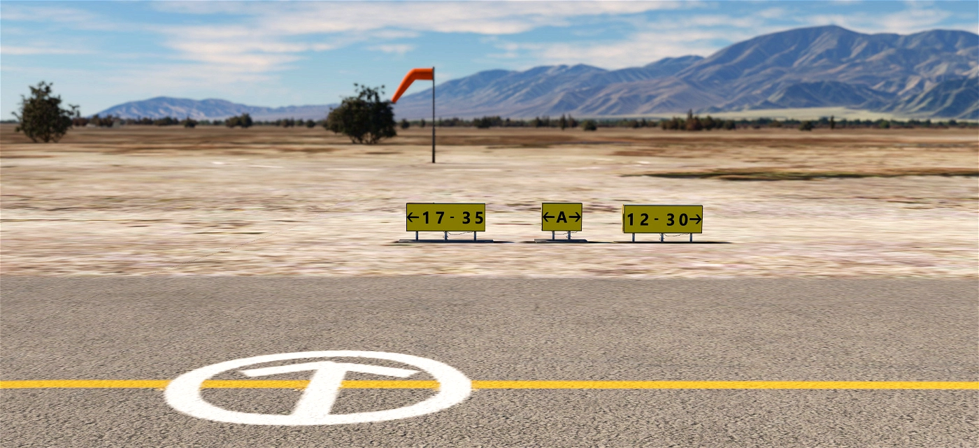
- All taxiway markings verified and redesigned if needed.
- Fix VASI 2-box (Runway 17) and Papi 4-light (runway 35)
- Fix VASI 2-light Papi (runway 12-30)
- Fix the color of re-asphalted taxiways and runway, add weathered asphalt
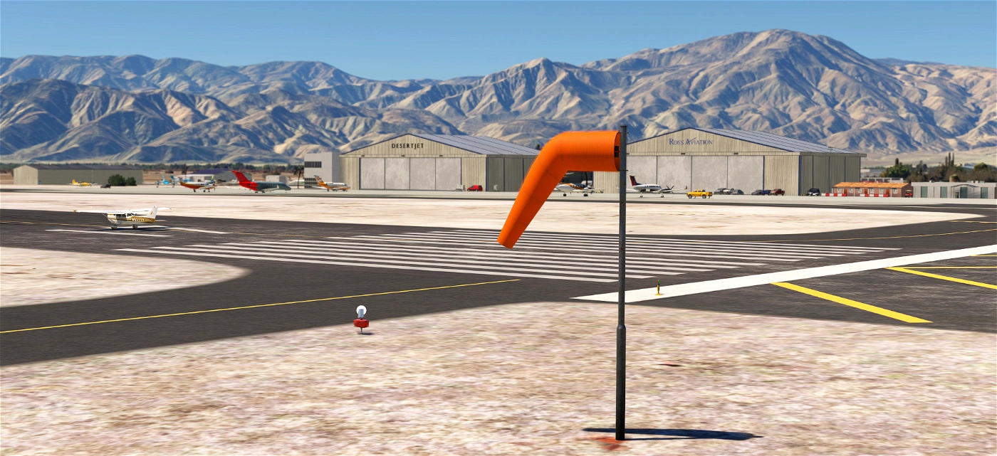
- Fix and add correct windsocks and replace all of them with 100% orange 100% FAA instead of the red/white European version
- Fix circuit pattern correct position
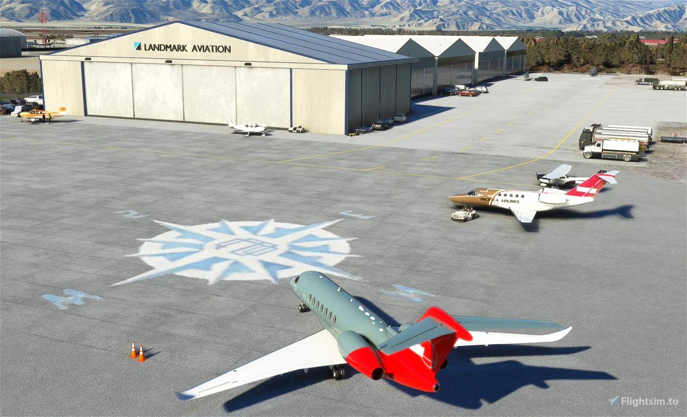
- Reveal the compass rose at Desert Jet Center
- Add generic buildings to replace autogen MSFS
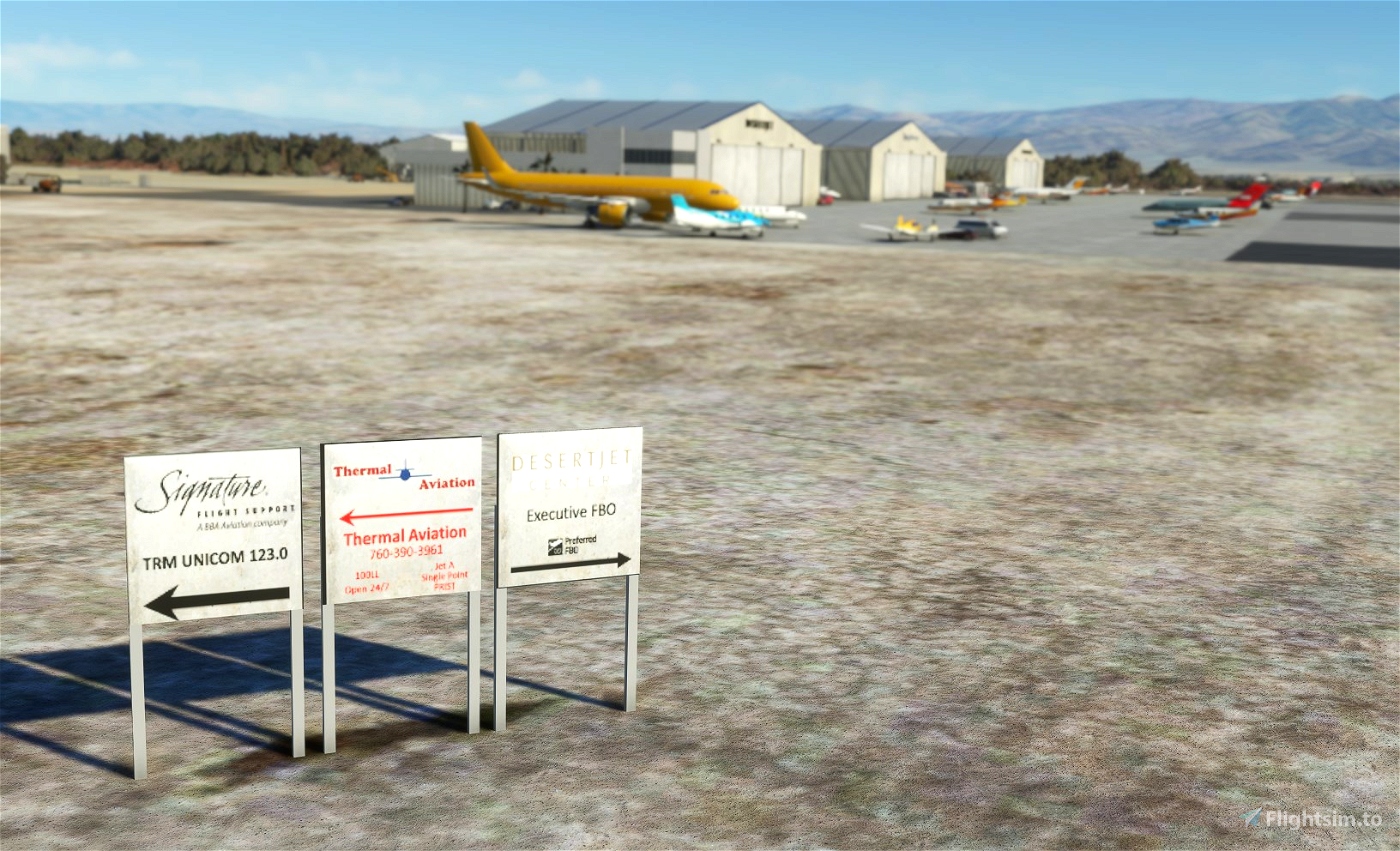
- Add the "new" Desert Jet FBO which doesn't appeared on Bing satellite imagery
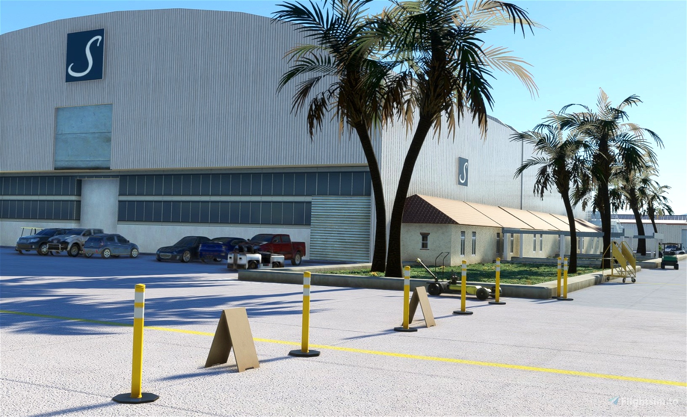
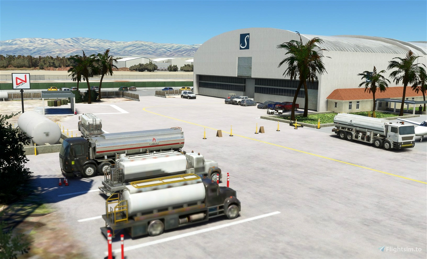
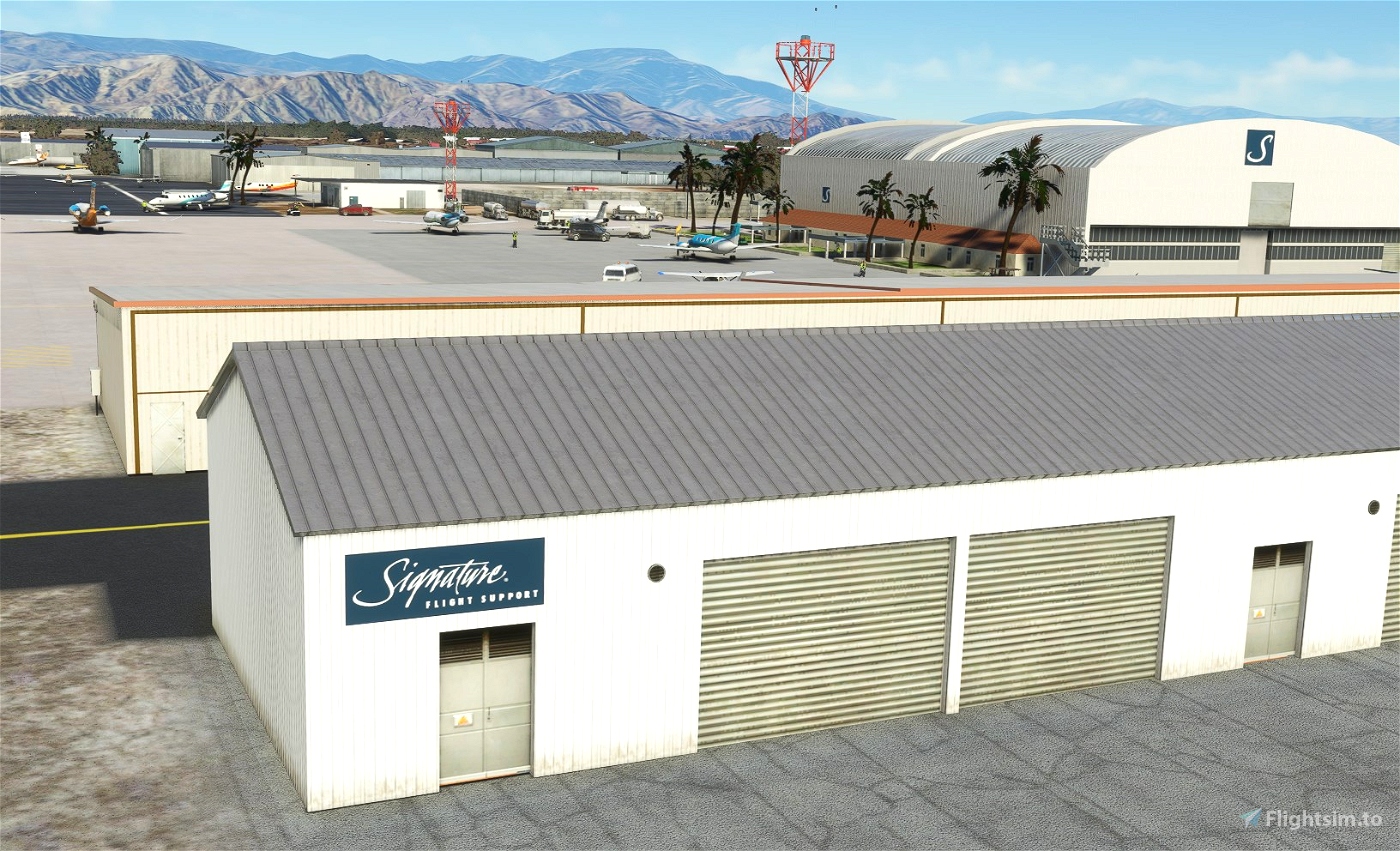
- Add Signature FBO. Remark: I voluntary keep Ross Aviation and Landmark Aviation big signs on hangars.
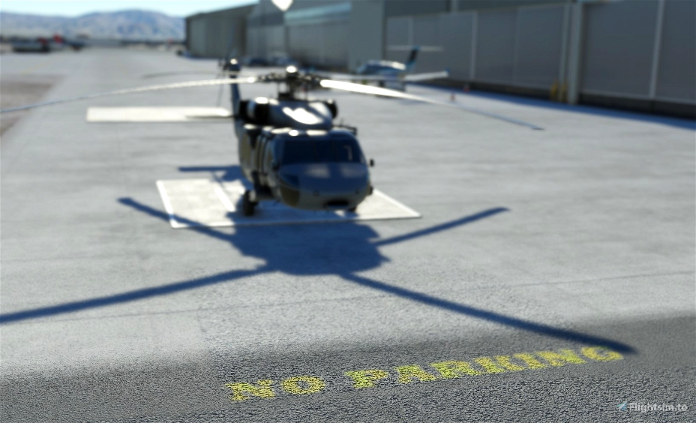
- Add Riverside County Sheriff Thermal Heliport (ICAO: 1CA2)
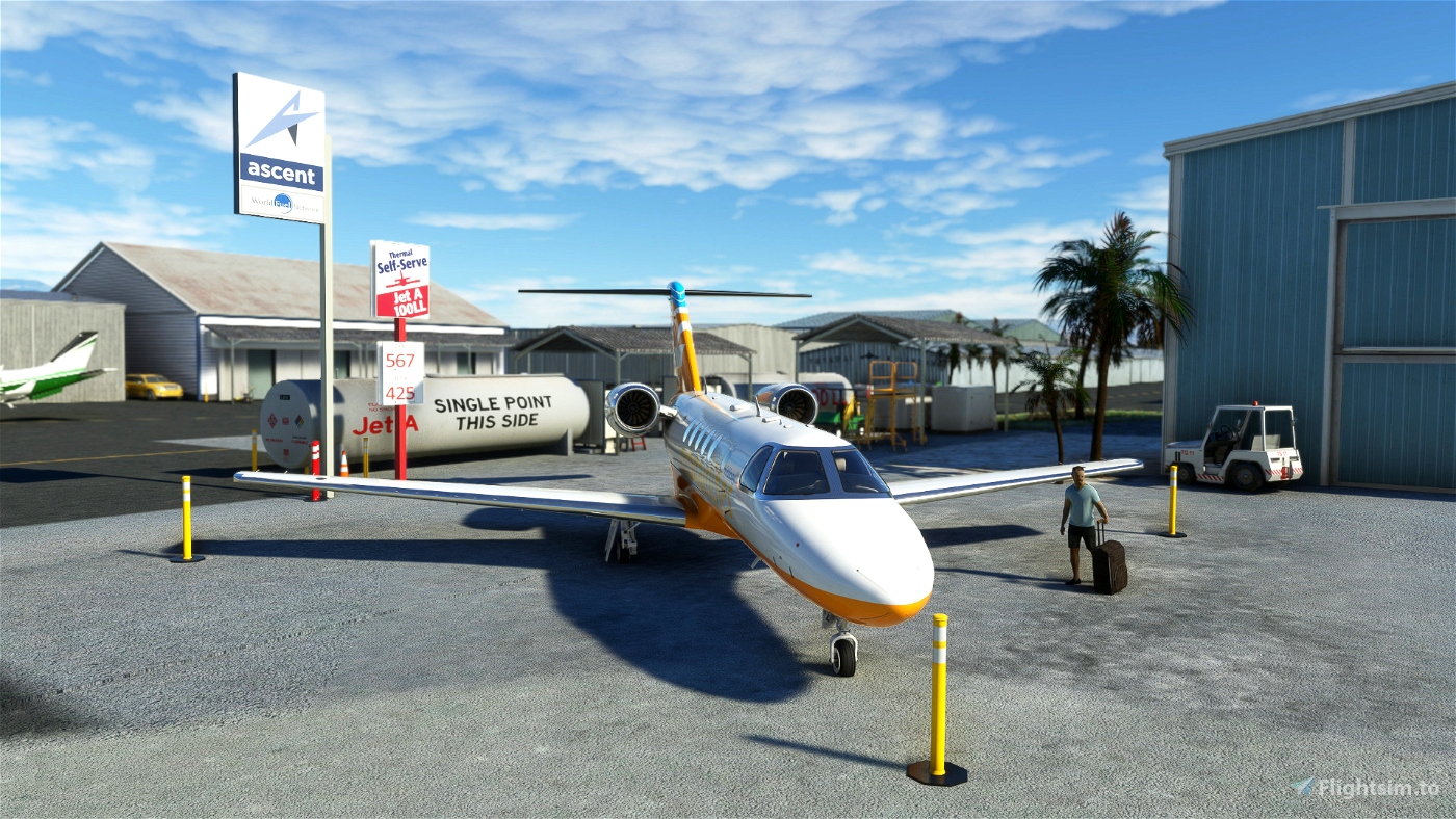
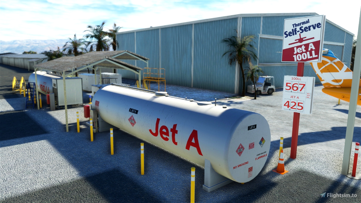
- Add new textured Thermal Self-Serve fuel tanks.
- No extra library or depedencies required.
How to install?
Unzip the file into your Community folder. Keep the folder structure from the zip (\AirportServices \ContentInfo, \MaterialLibs, \scenery, layout.json and manifest.json at the root directory). Once installed go to KTRM as usual, the scenery is overlayed over the existing default one.
If you love my amateur work you should also consider my other US sceneries and MSFS Bush Trip :
- KMYF Montgomery Field: https://flightsim.to/file/5856/montgomery-gibbs-exec-airport-taxiway-fix-and-many-more
- KRNM Ramona: https://flightsim.to/file/25710/ramona-krnm
- KSEE Gillespie: https://flightsim.to/file/36679/gillespie-field-ksee
- KOKB Oceanside: https://flightsim.to/file/37328/oceanside-box-maxwell-memorial-airfield-kokb
- KSDM Brown Field Muni : https://flightsim.to/file/38035/brown-field-muni-kdsm
- L08 Borrego Valley Airport : https://flightsim.to/file/38247/san-diego-borrego-valley-l08
- The Bush Trip "San Diego VFR Transition" : https://flightsim.to/file/6276/vfr-transitions-at-san-diego
- L52 Oceano https://flightsim.to/file/24371/l52-oceano
- Farwest'19 Bush Trip https://flightsim.to/file/5502/farwest-2019-bush-trip
Requirements
- Free stocked MSFS installed : Sedona and Stewarts
- World Update II (USA) and X (USA)
Known bugs
- Some Blue poles on apron and taxiways

 vbazillio


browns11
I have a question on KTRM . Every time I try RNAV (GPS) 35 approach, it brings me in too low. Is it just me or is anyone else having this challenge? In particular, I come in via KARRO - DUDSE - OPOSE -OVOTE - RODGE -RIPSE. In my case, I have to fly it manually to avoid digging worms.
I appreciate any insight/thoughts!!
FireRx
CuzDawg3
2 months ago
Les_Parson
Do you have any plans for KAPV?
teast
Snoopy7412
jvortiz56
vbazillio author
5 months ago
teast
vbazillio author
6 months ago
DC6Pilot
bantha121
vbazillio author
7 months ago
zeronoshoten
vbazillio author
8 months ago
OzzyKym
Brilliant work as always. Thanks for sharing.
mdamstel
Nice one! Explored the surroundings and found a track like structure : it is the Thermal Club. Driving for the wealthy?
Greazer
How about Placerville?
vbazillio author
I have no clue of this field (except by looking in Foreflight) ;) Never flew there...
1 years ago
Godzilla32
You're the best!
Uncletucker11
Thank you so much! It's my local airport where I do flight training.
vbazillio author
Enjoy and let me know if you have cool pictures of signs or anything specific to this airport. Share your feedback as a local!
2 years ago