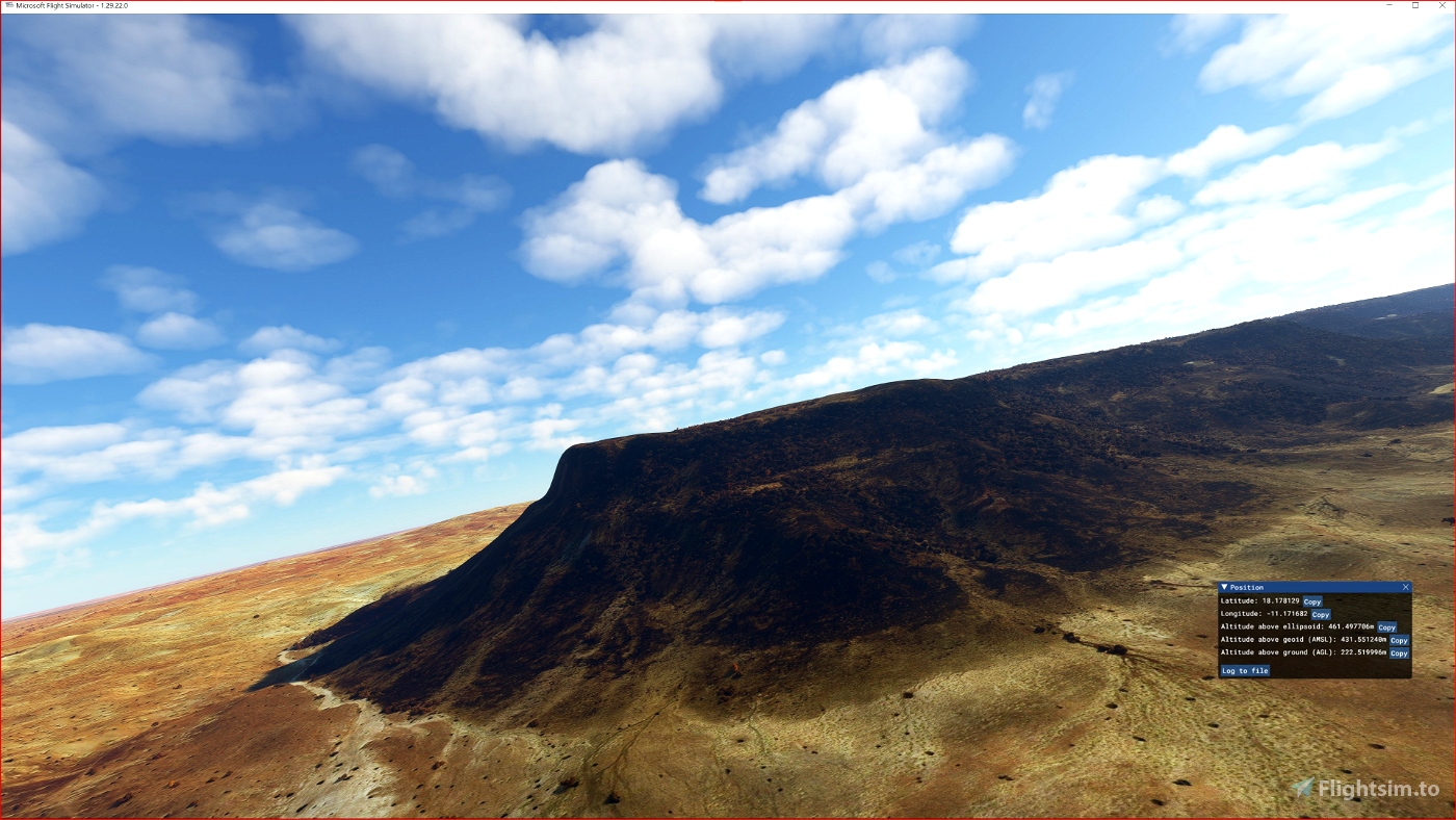
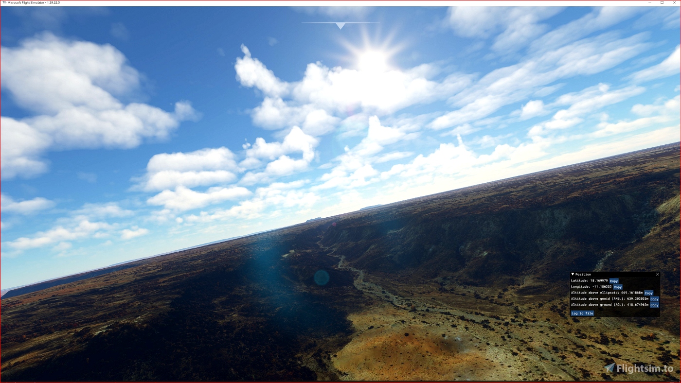
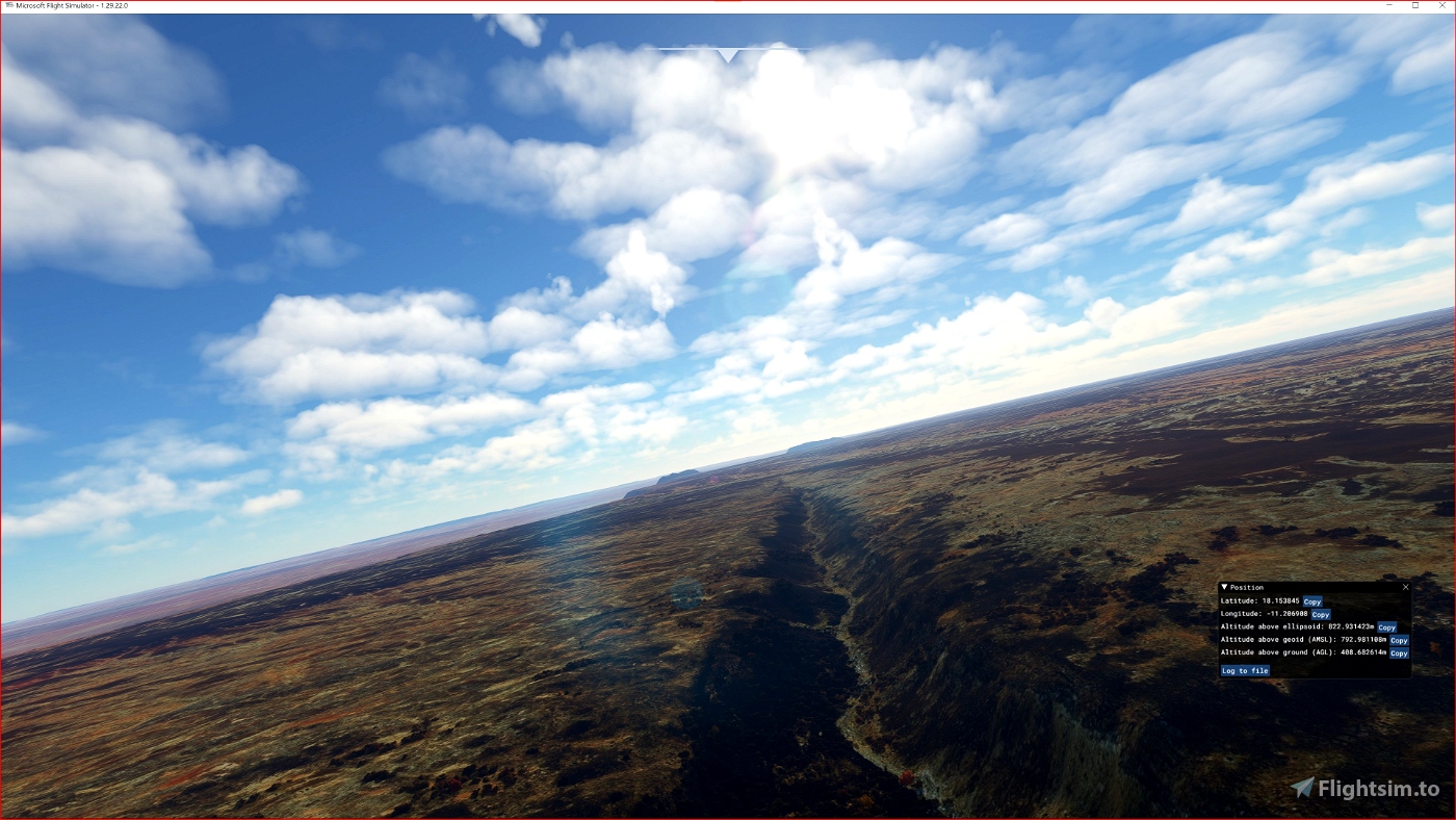
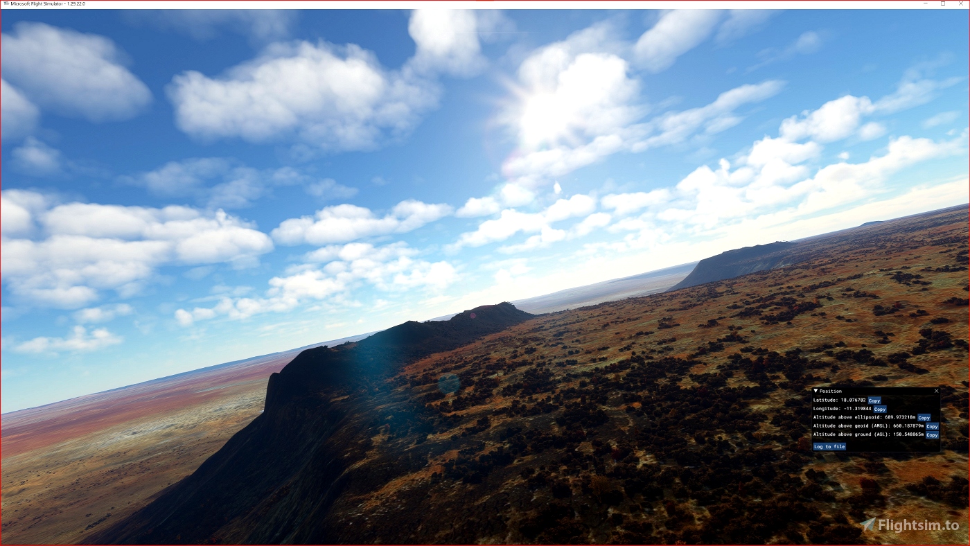
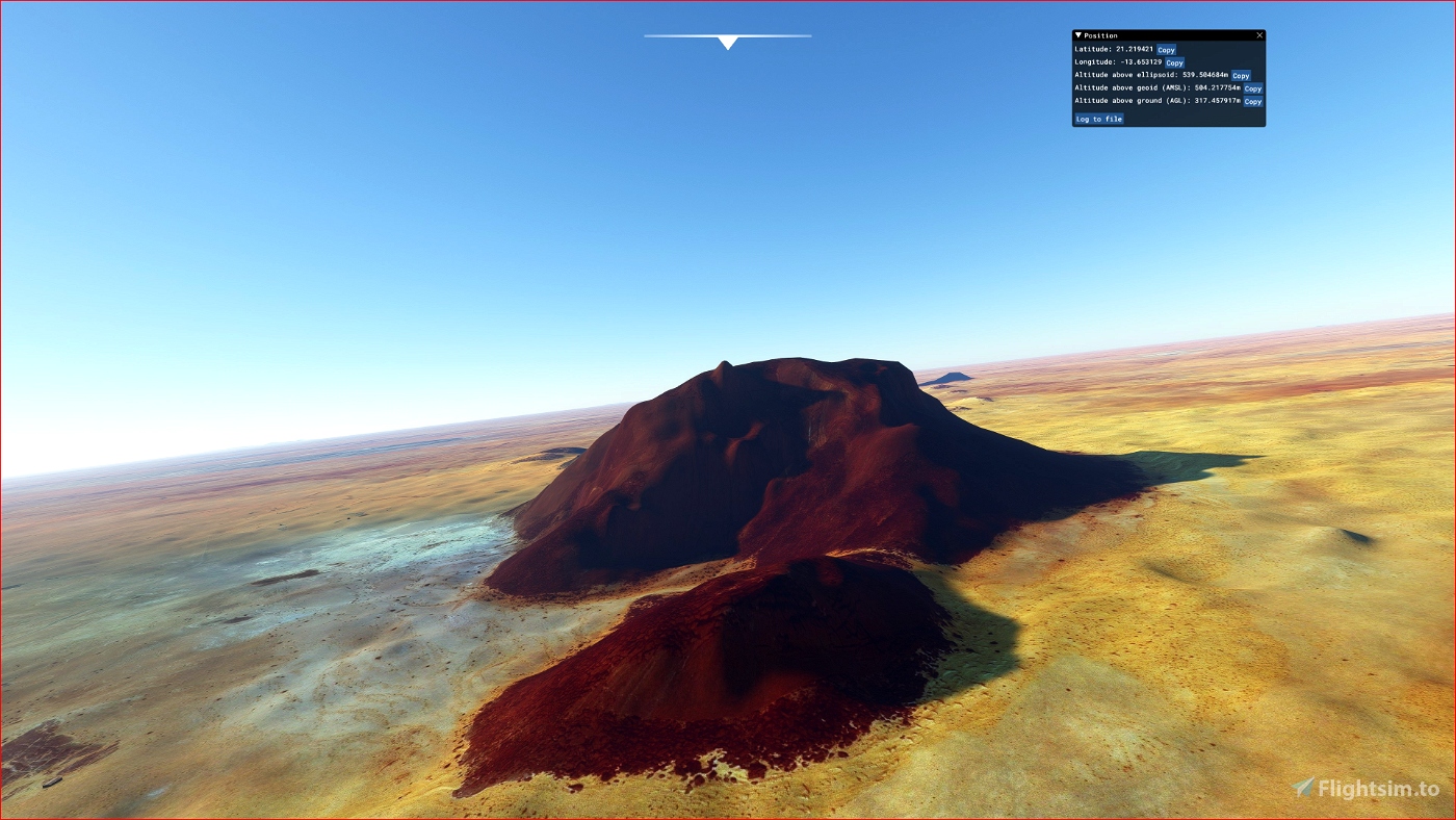
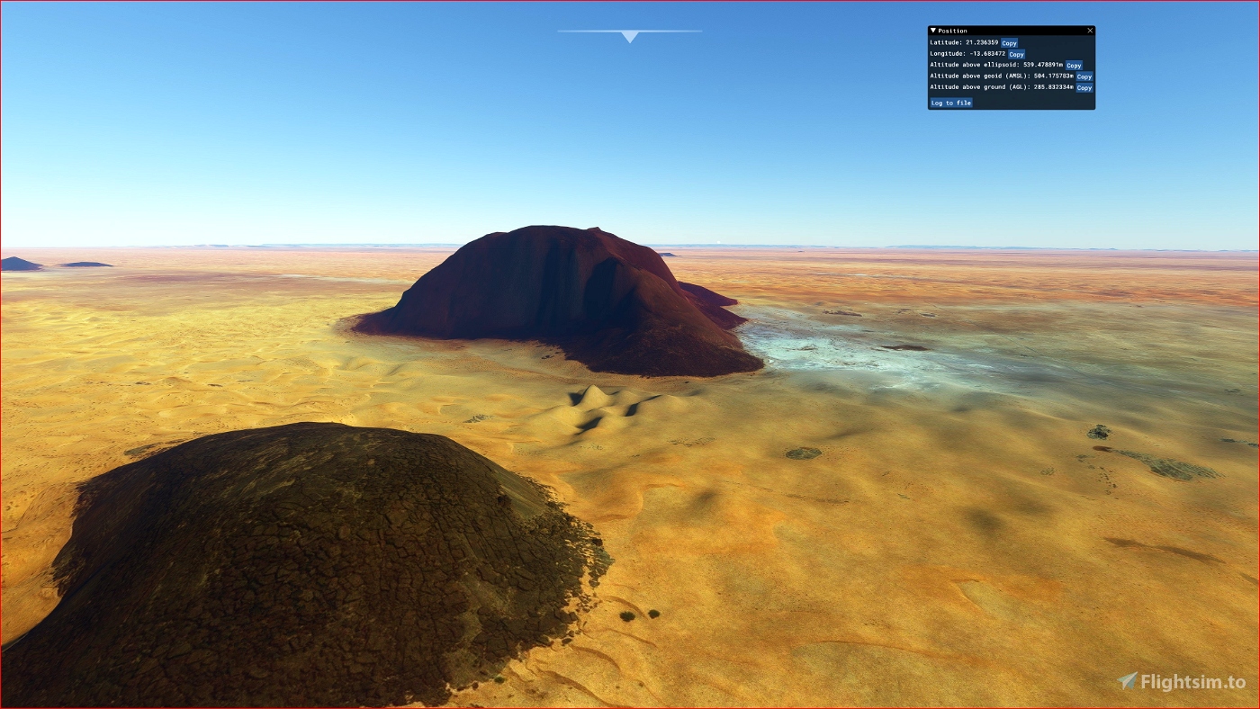
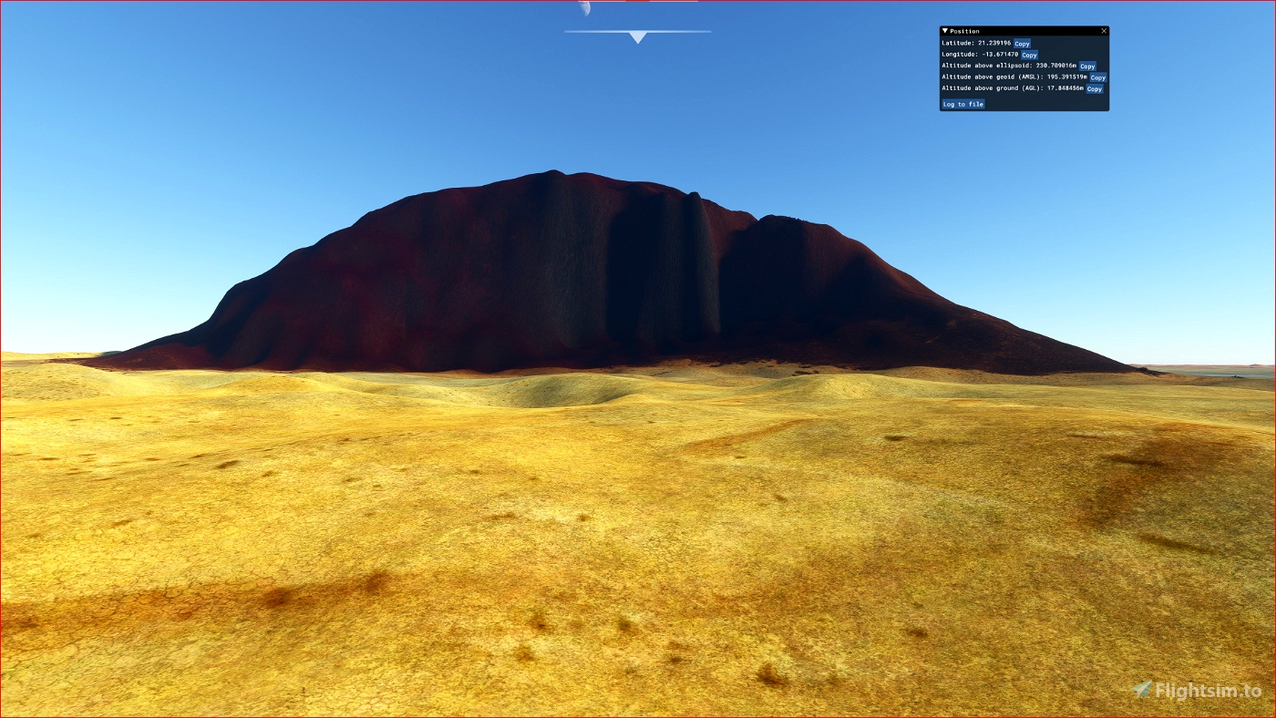
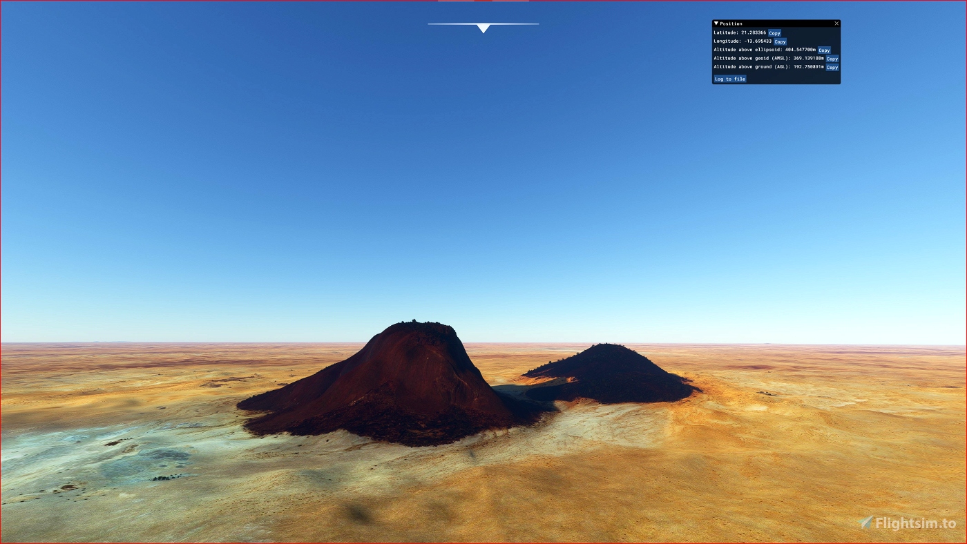
ETM10 Enhanced Terrain Mesh 10m for Mauritania - Eye of Sahara vol.02 - version 1.0
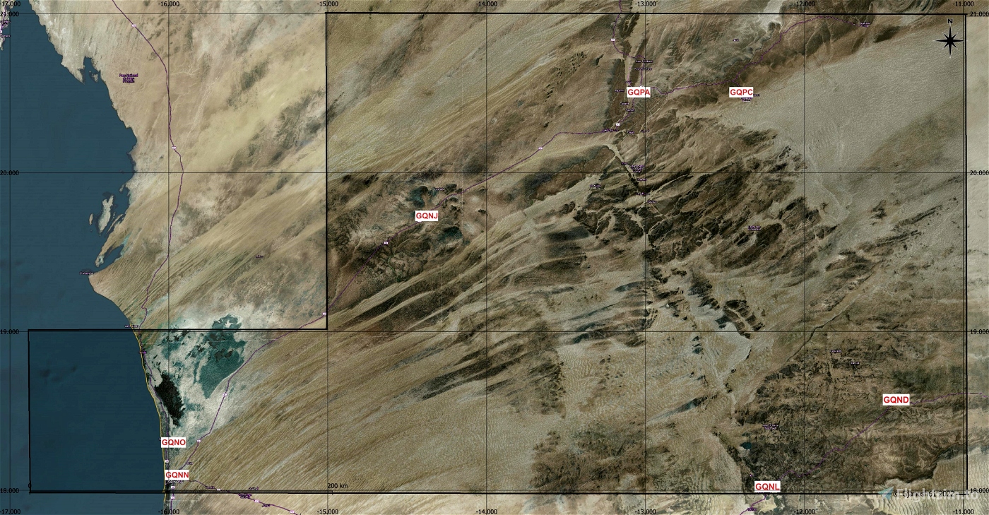
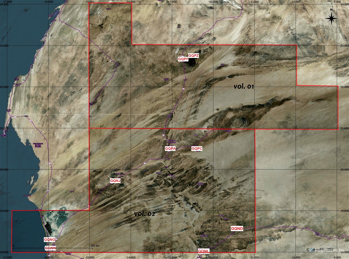
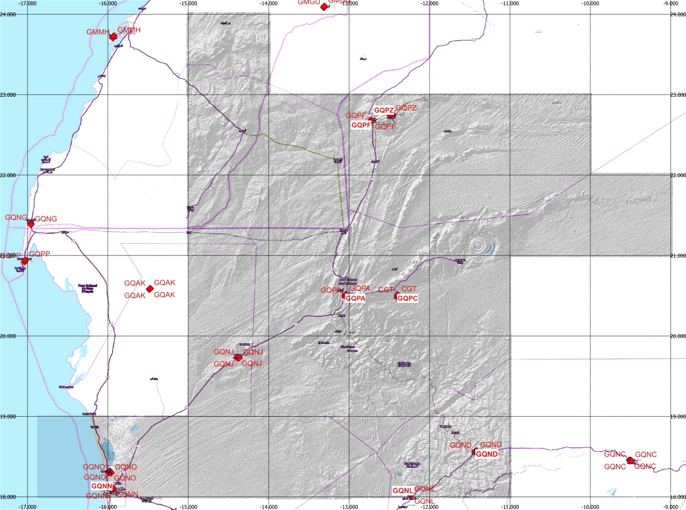
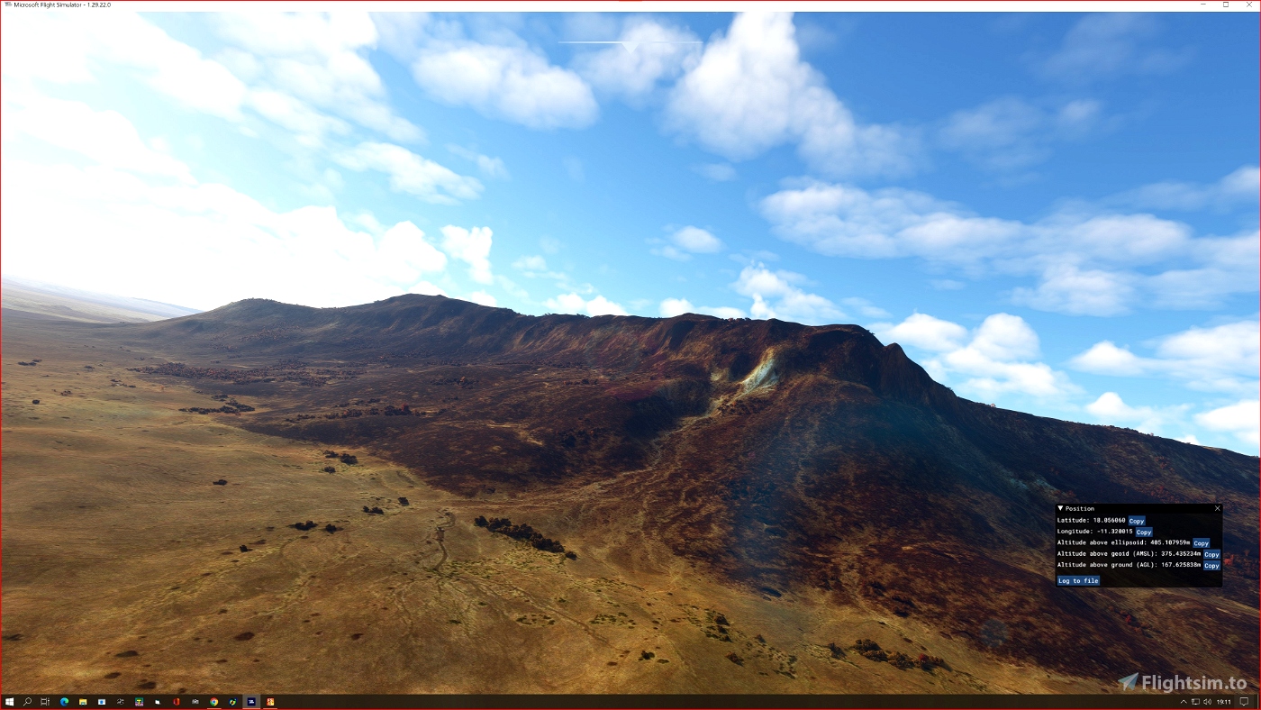
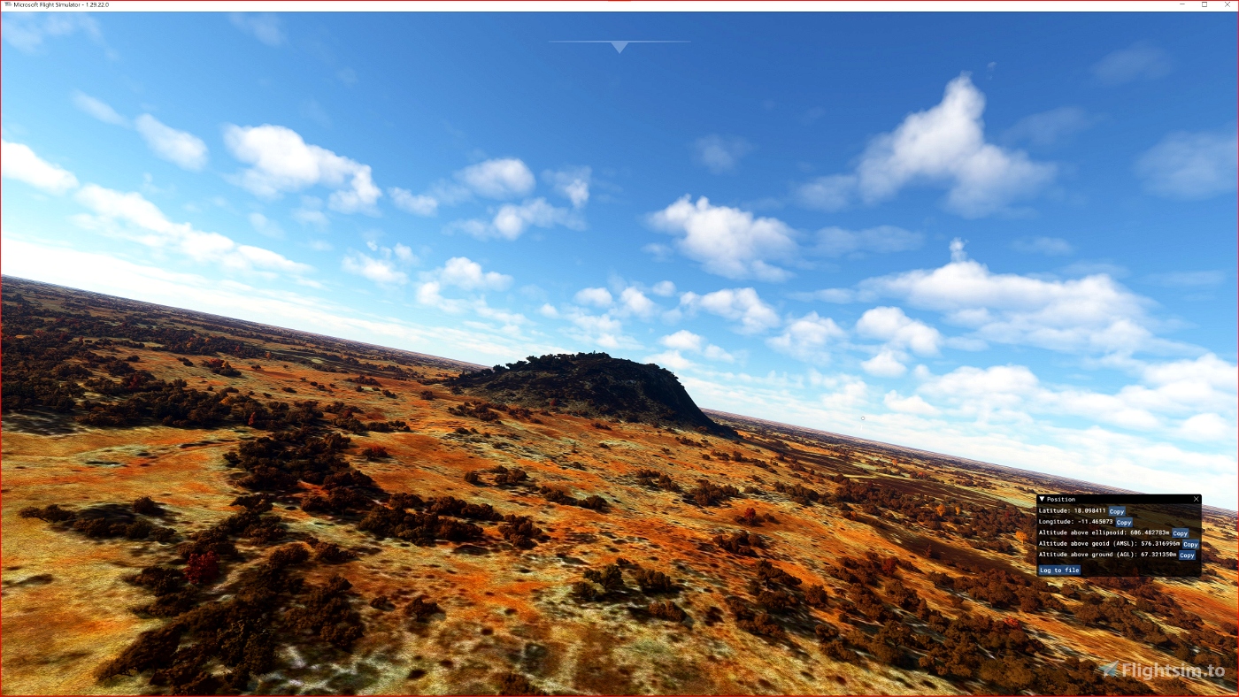
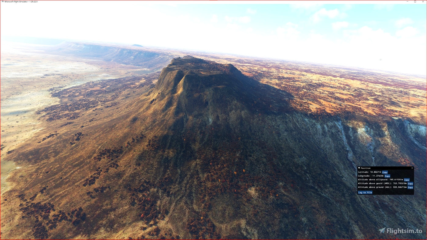
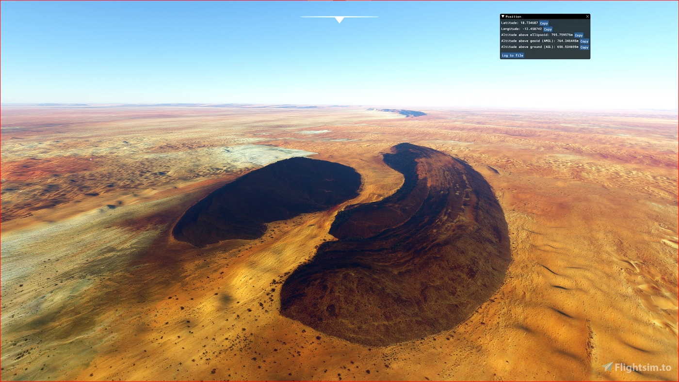
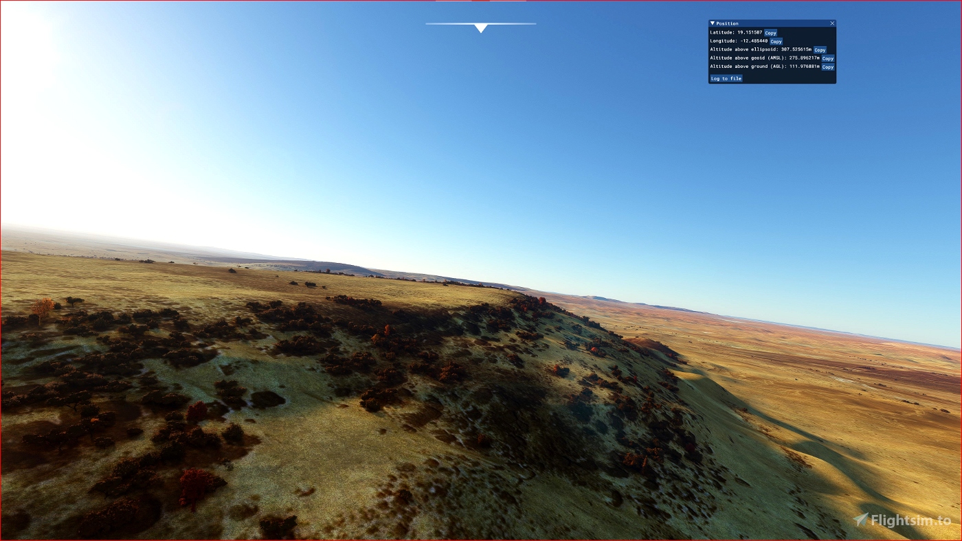
This is an Enhanced Terrain Mesh derived from Sentinel-1A mission of the European Radar Observatory for the Copernicus joint initiative of the European Commission (EC) and the European Space Agency (ESA), 1/3 arc sec (10 meters). Mainly the area covered by this terrain mesh is related to the region of ... see coverage map.
Affected Sceneries
Any large Payware and Freeware Airport I could think of, has been excluded from the mesh. So hopefully the glitches will be minimal.
Please report any bugs with sceneries or airports and I will see what I can do!
Created using MSFS Toolkit by Nool Aerosystems (MSFS Toolkit)
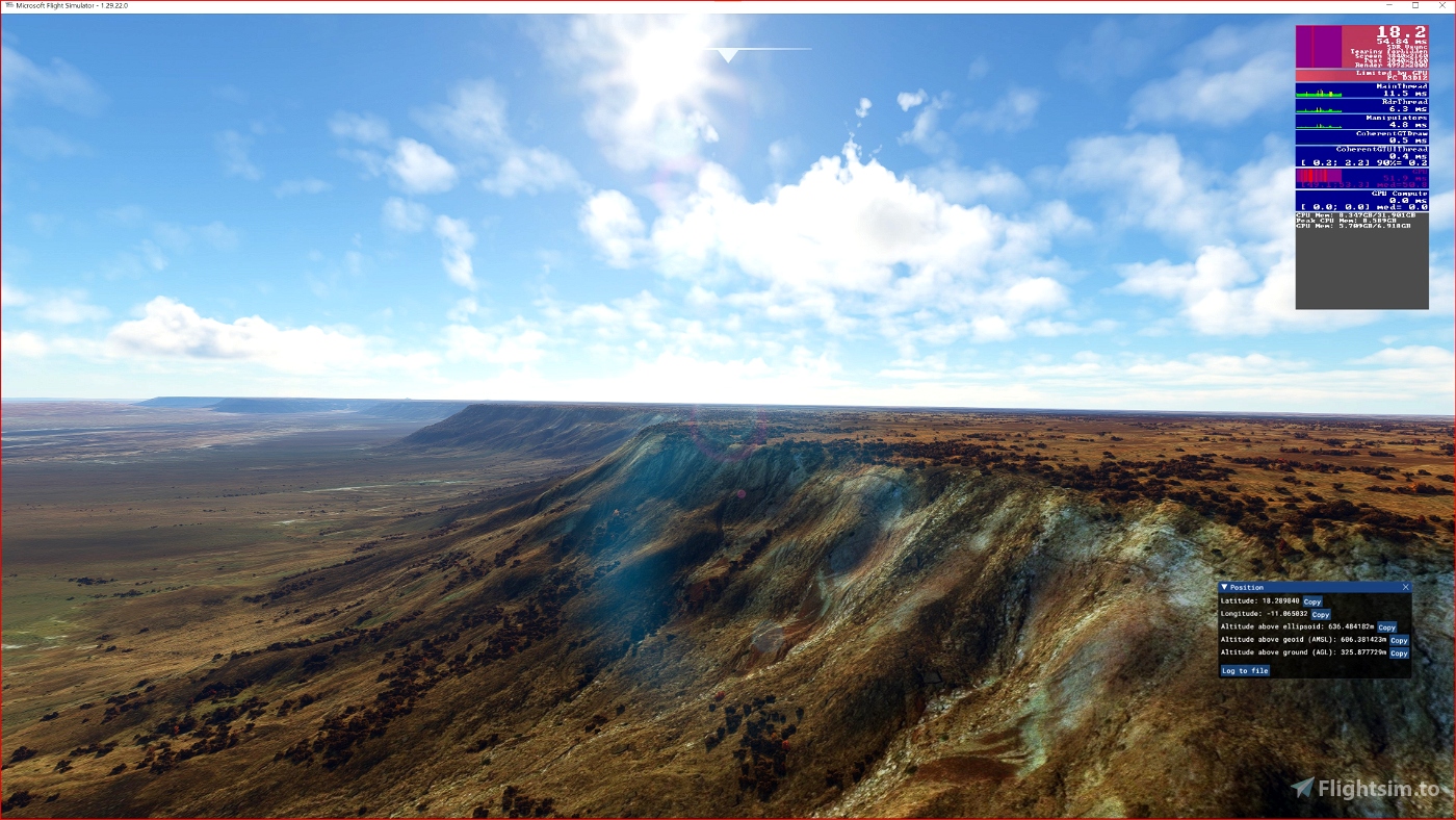
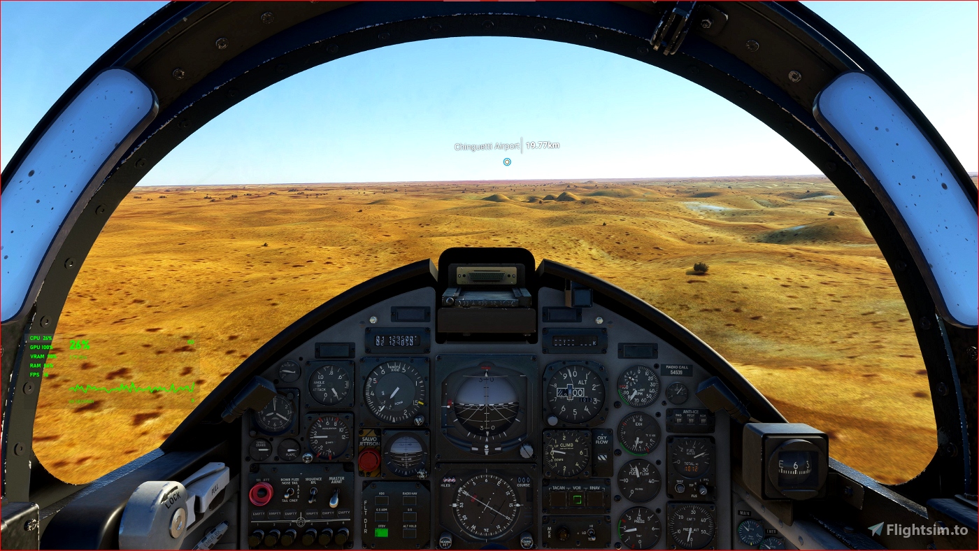
Enjoy your VFR flights above the Mauritania (Eye of Sahara, Ben Amera). To better enjoy your VFR, the recommended flight altitude should not be above 500ft AGL.
On Discord: Gjanosh61#9850

 Gjanosh61


crashbandicoot
this is great stuff
do you think you can focus on some arctic areas such as Alaska?
Gjanosh61 author
Sorry me, there is already an excellent version for Alaska (payware) with 5m resolution. There are many places with default DEM (30mt) that can be improved up to 10 meters.
2 years ago