Developper's remark: I'm sorry to have created this airfield which already exist as a freeware by Mountainair. I wanted to "finish" all fields of the San Diego area and forget to double check. My bad. Nevermind, it took me only one afternoon to build this tiny field. Now you have the choice!
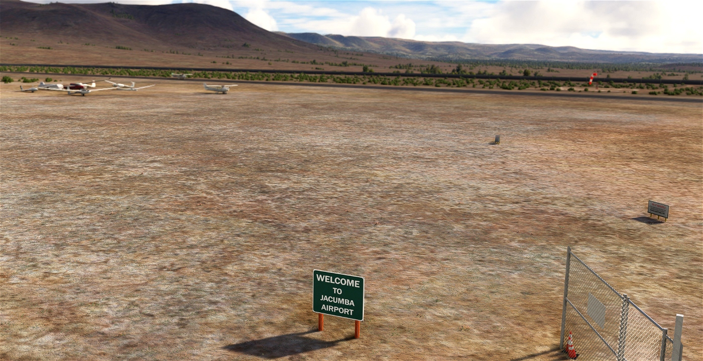
"Flying over, or driving by on Interstate 8, you might miss tiny Jacumba. But hundreds of soaring enthusiasts know the airport and some even know where the town is. However, few people know what Jacumba is all about.
On weekends you’ll find sail planes being towed aloft to catch the thermals, with pilots who savor the solitude and challenge of powerless flight. During the week the airport is quiet, inhabited by hawks and their prey." Source: https://www.sandiegocounty.gov/content/sdc/dpw/airports/jacumba.html
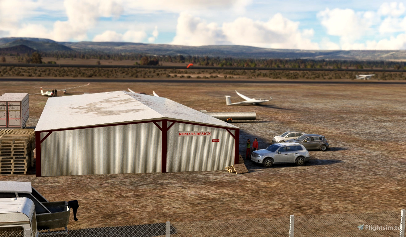
Jacumba is the home of the Associated Glider Clubs of Southern California (AGCSC) flying every Saturday. Jacumba is part of County of San Diego airport and one of my freeware covering GA airports.
FEATURES
- Terraforming to level and match elevation + relief of the area
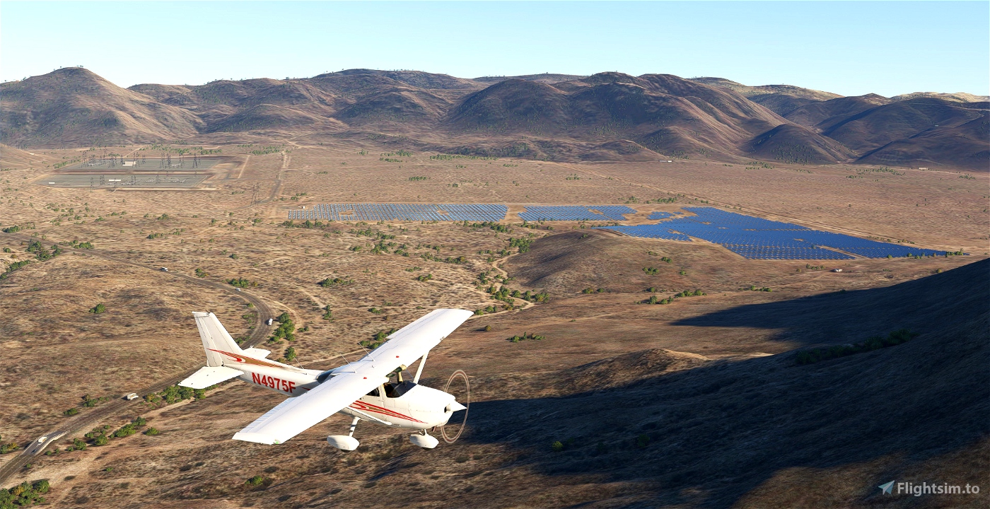
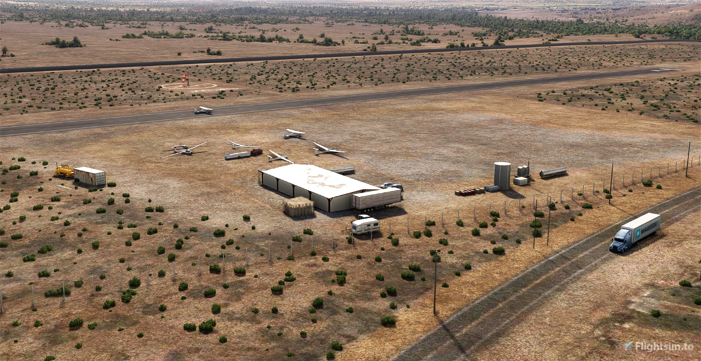
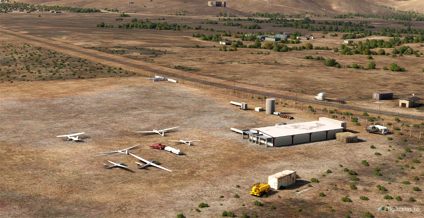
- Add the Solar farm and the Powerplant of the Jacumba Valley Ranch Energy Park
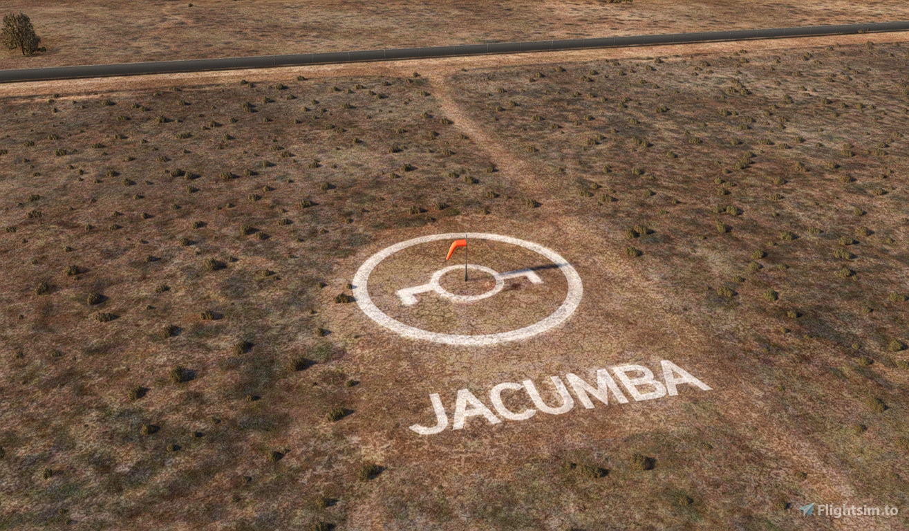
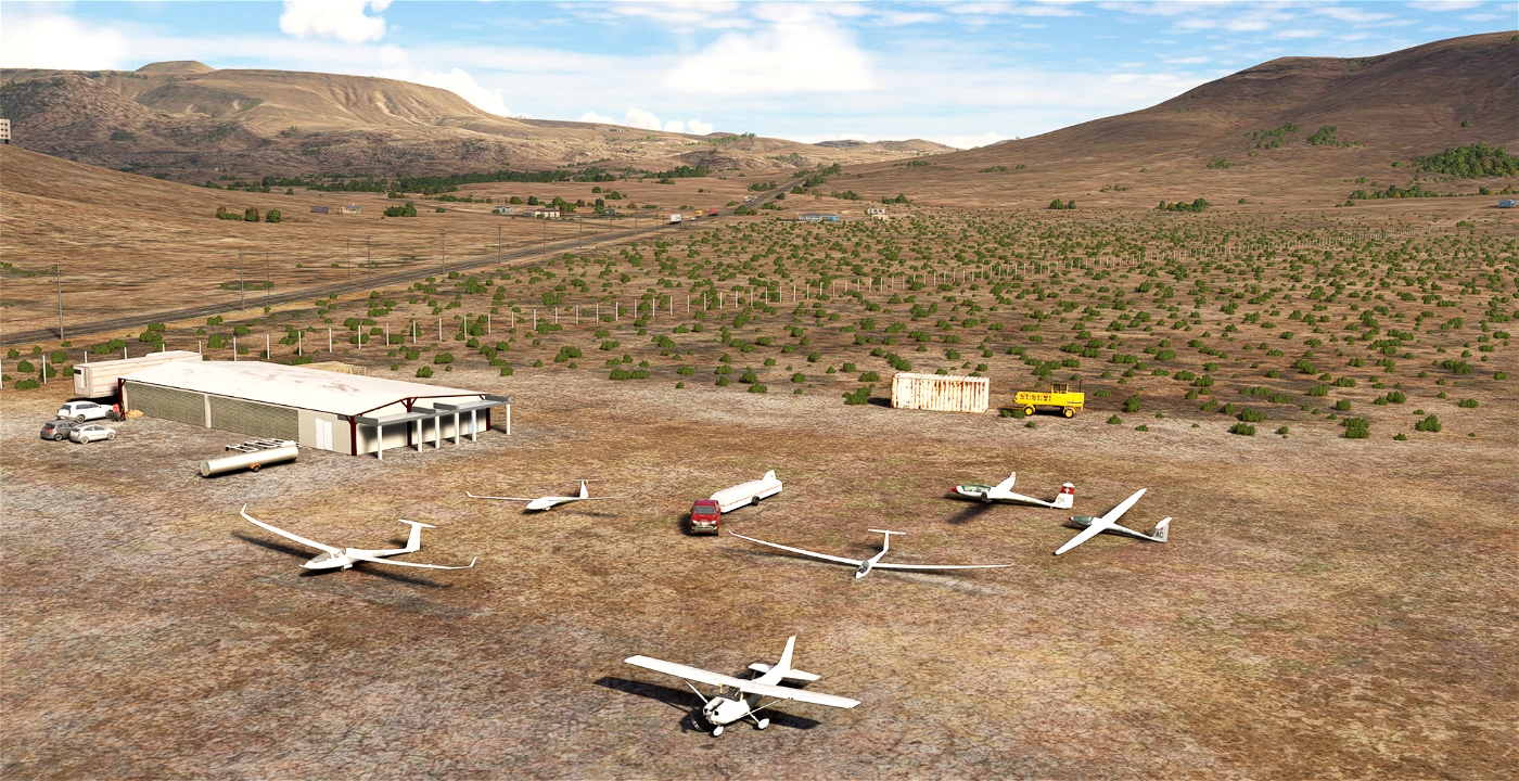
- Add winch(s) for gliders
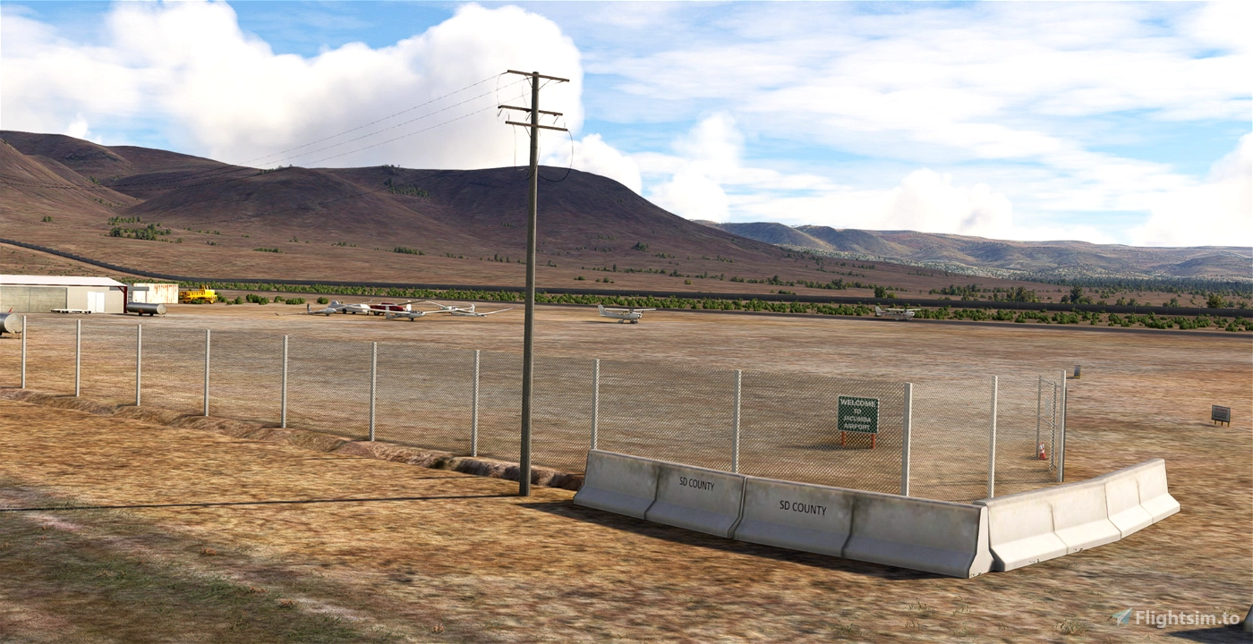
- Add the border wall ;(
- Add small specific signs (and some "Help wanted")
- Add static gliders on apron
- Add orange animated custom windsock (to replace the default MSFS red&white)
- Remove several erroneous buildings on hills around the field
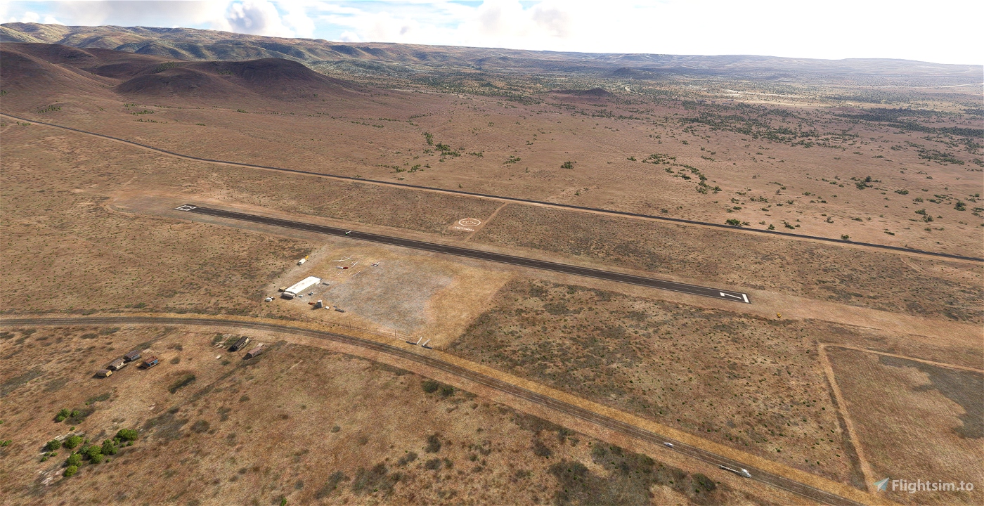
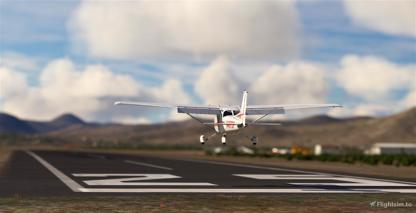
- Replace the runway marking with custom one (bigger numbers)
- Fix vegetation at close proximity of the field
- A lot of correction on ground textures
MORE INFO FOR PILOTS
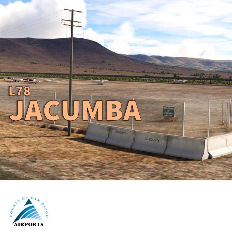
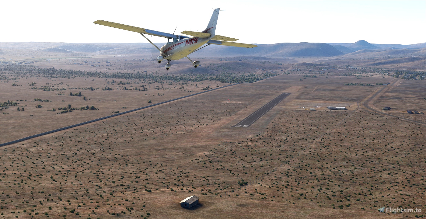
Field elevation is 2844 feet MSL, CTAF on 122.900, no services available, runway 07-25 is an asphalt of 2562 x 60 feet (781 x 18 meters). Right pattern for runway 25 and left traffic runway 7. Use caution with the hill facing runway 7. Airfield is located along the 8 Hwy.
Use extreme caution for the US/Mexican border (ADIZ) which is very (very) close, approximately 615 ft of runway 0-25. Frequent gliders during weed-ends, powered aircraft be alert for glider traffic launching from the field and operating on and in the vicinity of airport, surface to 18000 ft MSL. Rapid rising terrain all quadrants.
Skyvector: https://skyvector.com/airport/L78/Jacumba-Airport
Airnav: https://www.airnav.com/airport/L78
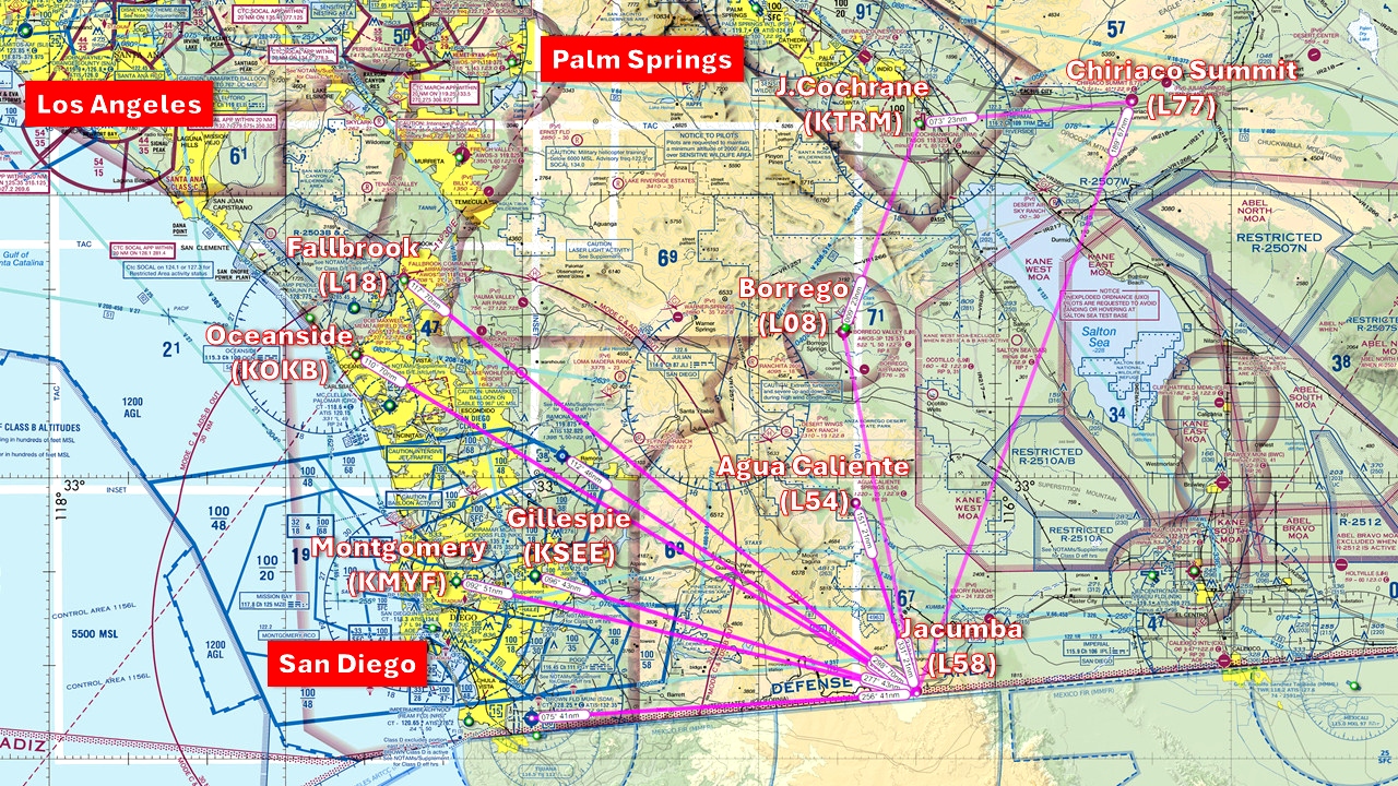
If you love the San Diego area, you should also consider my other sceneries (in this collection:https://flightsim.to/collection/35/san-diego-general-aviation-airports)
REQUIREMENTS
This scenery doesn't required any extra library. It's only made with stocked MSFS object from the integrated library. However, you should have the World Update Canada to see the electric poles and World Update USA (II and X) are recommanded for the area.
Author's final note
As for all of my MSFS mod, this small scenery is made from a pilot-eyes perspective. The scenery is inspired by aerial views from Bing and Google maps. It's a mix between the satellite imagery displayed from MSFS and more accurate data found on Internet. I did my best, based on online videos and pictures freely available. If you have local pictures to help being more accurate, please let me know!


 vbazillio


CaptainMoonlight
Best Regards from Warstein in Germany.
Heinz-Werner Arens (aka Captain Moonlight)
pavel.k
Thank you!
verci
vbazillio author
6 months ago
Greazer
Any chance you can do KPVF?
Thanks.
vbazillio author
6 months ago
regis902
Maki152