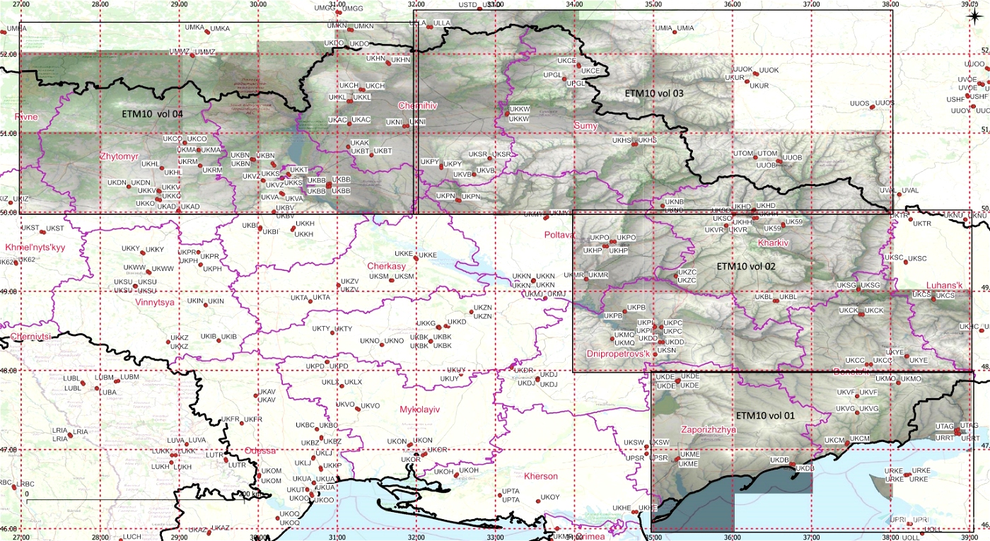
DEM / ETM10 Enhanced Terrain Mesh 10m for Ukraine vol 04 - Kyiv / Kiev - version 1.0.0
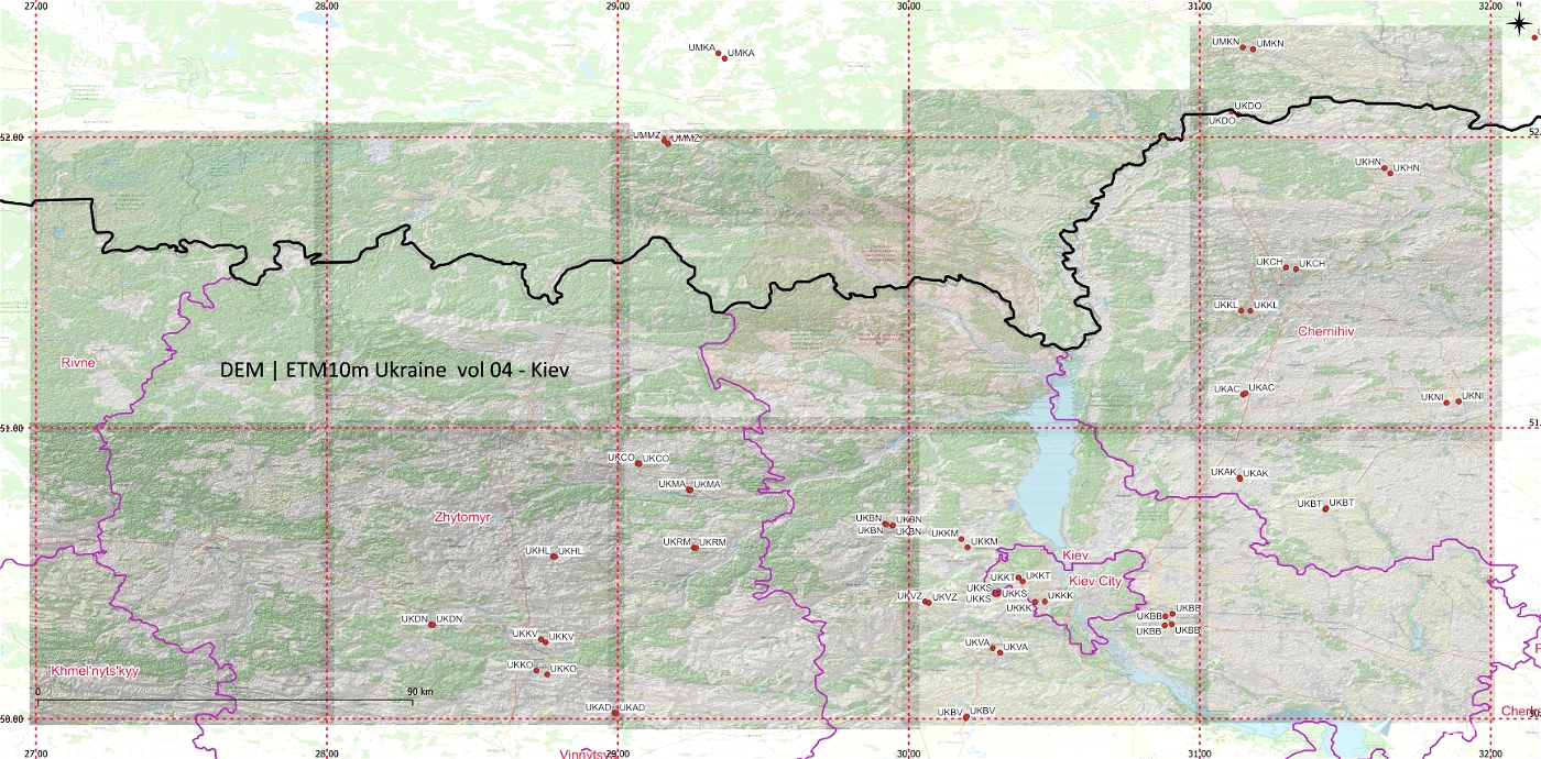
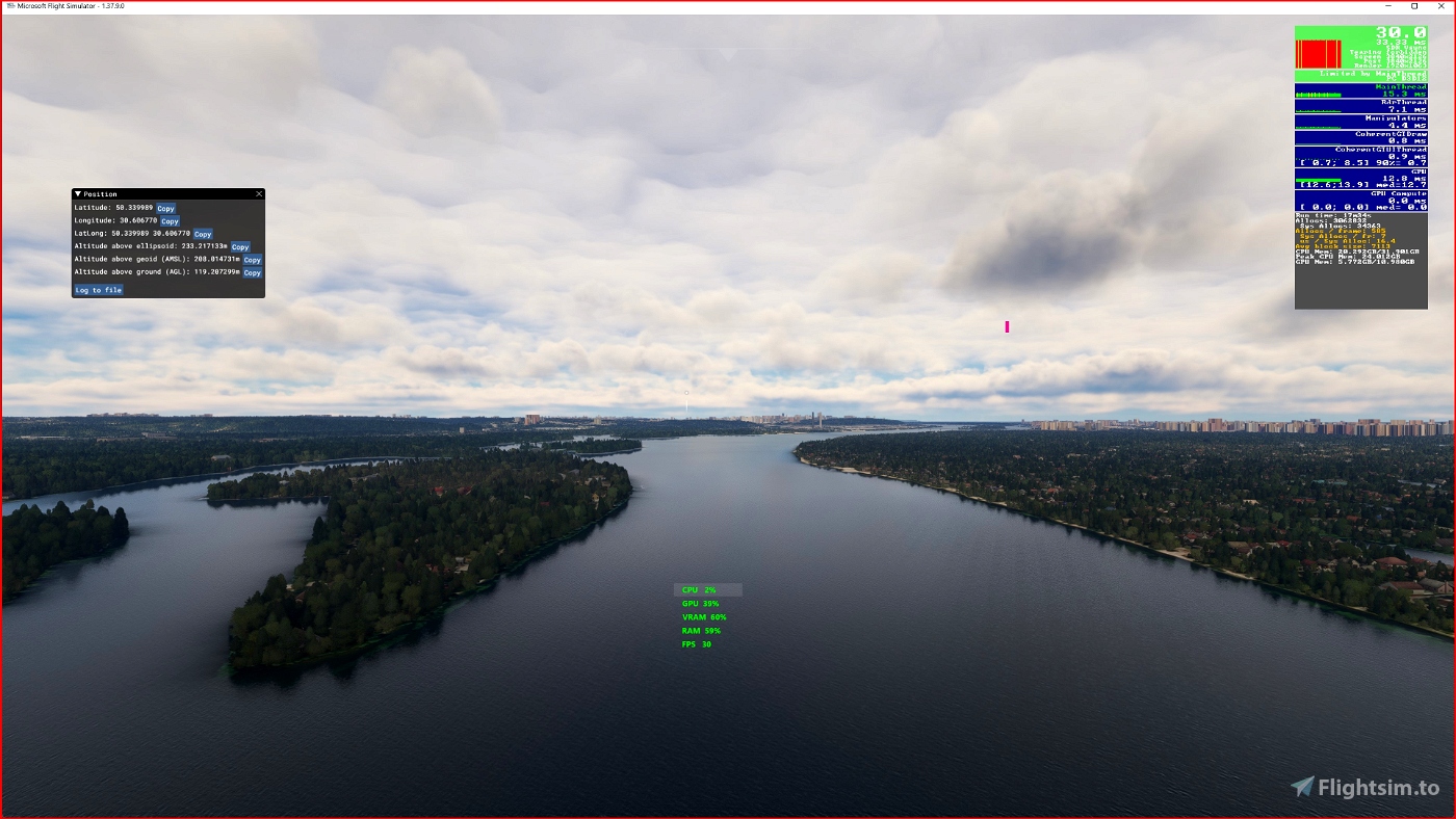
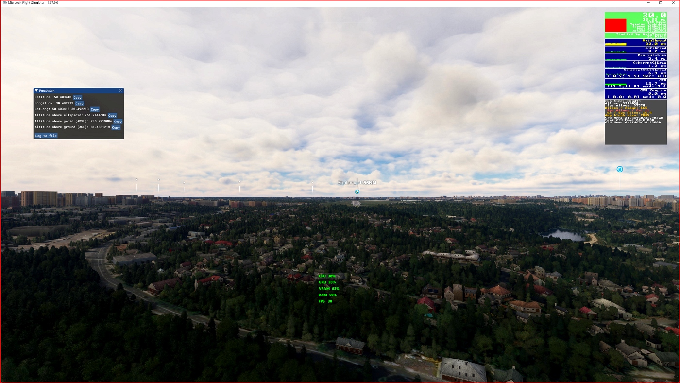
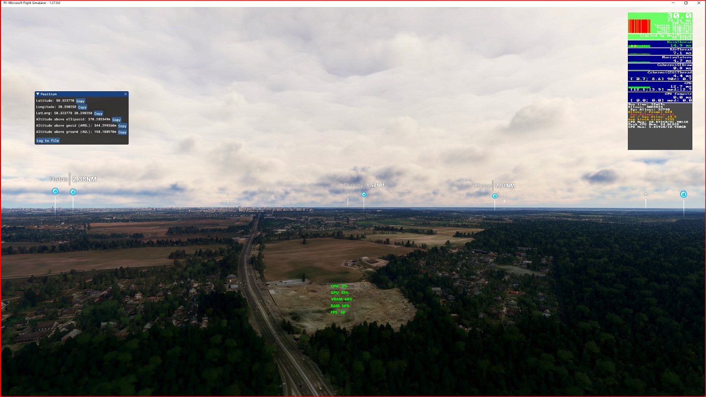
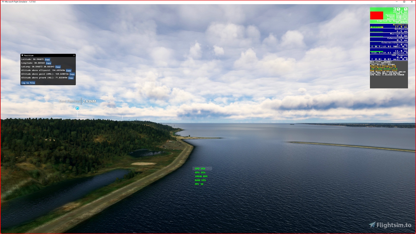
This is an Enhanced Terrain Mesh derived from Sentinel-1A mission of the European Radar Observatory for the Copernicus joint initiative of the European Commission (EC) and the European Space Agency (ESA), 10 meters. Mainly the area covered by this terrain mesh is related to the region of ... see coverage map.
Affected Sceneries
Any large Payware and Freeware Airport I could think of, has been excluded from the mesh. So hopefully the glitches will be minimal.
Please report any bugs with sceneries or airports and I will see what I can do!
Created using MSFS Toolkit by Nool Aerosystems (MSFS Toolkit).
This release introduces flattening for all bodies of water. (Thanks to @Henrikx)
On Discord: ItalianCharter Team // Gjanosh61#9850
Please don’t feel as though you have to, but if you wanted to buy us and the team a coffee to support the work. Thank you very much.
Please don’t feel as though you have to, but if you wanted to buy us and the team a coffee to support the work. Thank you very much.
https://www.buymeacoffee.com/gjanosh


 Gjanosh61


Gjanosh61
There has never been any desire on my part to disrespect anyone. I want to hope that it is the same for you too. enjoy yourself!
Maxest
3 months ago
fruehlingimwald
Gjanosh61 author
3 months ago
Maxest
iker84
3 months ago
iker84
Gjanosh61 author
3 months ago
fruehlingimwald
Gjanosh61 author
3 months ago