KUXL-Southland Field Airport. Located 05 miles S of Sulphur, Louisiana on 278 acres of land.
Estimated Elevation is 10 feet MSL. Fuel: 100LL blue and Jet-A1+
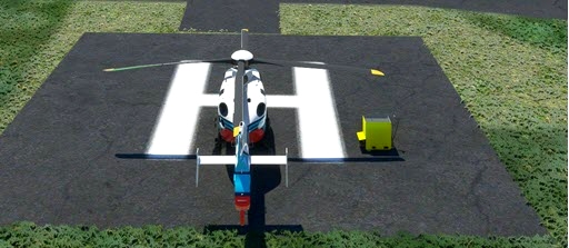
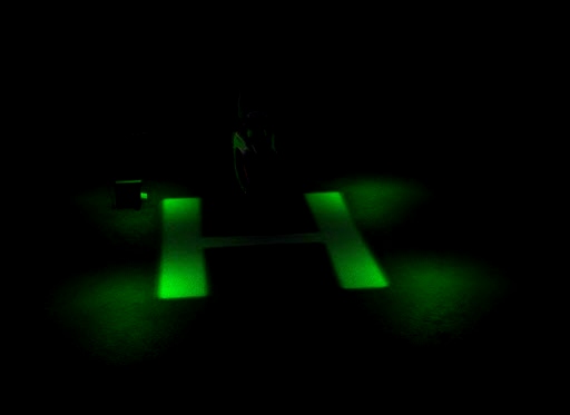
- added helipad near the fuelstation with lights
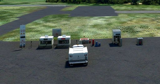
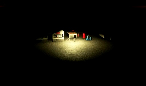
- added lights for the fuelstation
Not sure but, if you want to see the lights for the helipad, you will need to download the EDHK Lights and Objects at:
https://flightsim.to/file/2549/edhk-lights-pack
Nearby Airports with Instrument Procedures
ID Name Heading / Distance
Lake Charles Regional Airport KLCH Lake Charles Regional Airport 092° 8.0
Chennault International Airport KCWF Chennault International Airport 068° 13.0
De Quincy Industrial Airpark Airport 5R8 De Quincy Industrial Airpark Airport 344° 19.2
Orange County Airport KORG Orange County Airport 260° 22.6
Welsh Airport 6R1 Welsh Airport 076° 29.1
Jack Brooks Regional Airport KBPT Jack Brooks Regional Airport 252° 35.3
Jennings Airport 3R7 Jennings Airport 079° 37.1
Beauregard Regional Airport KDRI Beauregard Regional Airport 002° 42.0
Beaumont Municipal Airport KBMT Beaumont Municipal Airport 265° 43.8
Hawthorne Field Airport 45R Hawthorne Field Airport 285° 47.4
Allen Parish Airport KACP Allen Parish Airport 043° 51.4
Eunice Airport 4R7 Eunice Airport 067° 53.4

 rcla39652

